
Maps & PrintsBartele Gallery · Langweer
Home / Antique Maps / Asia / South Asia / India & Ceylon

India & Ceylon

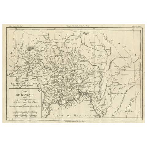
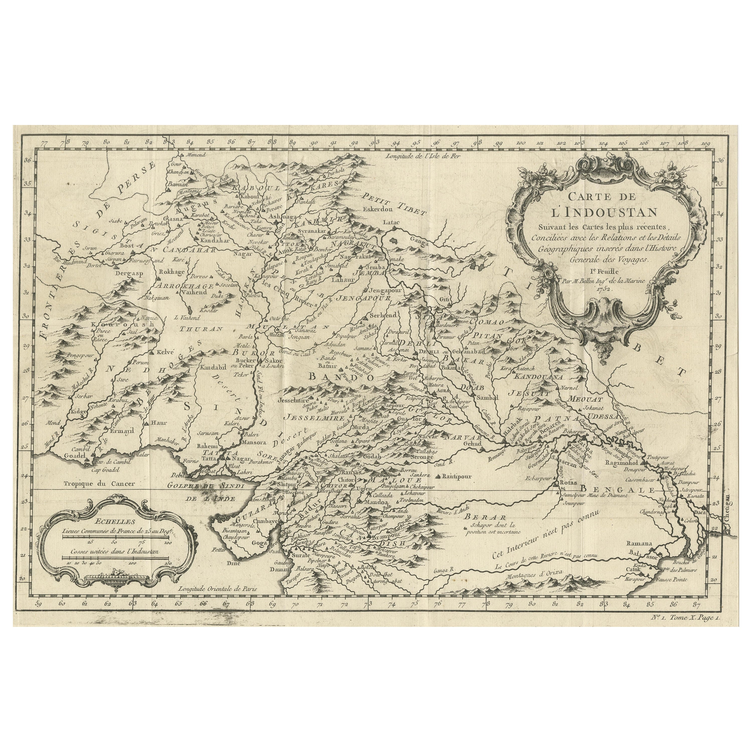
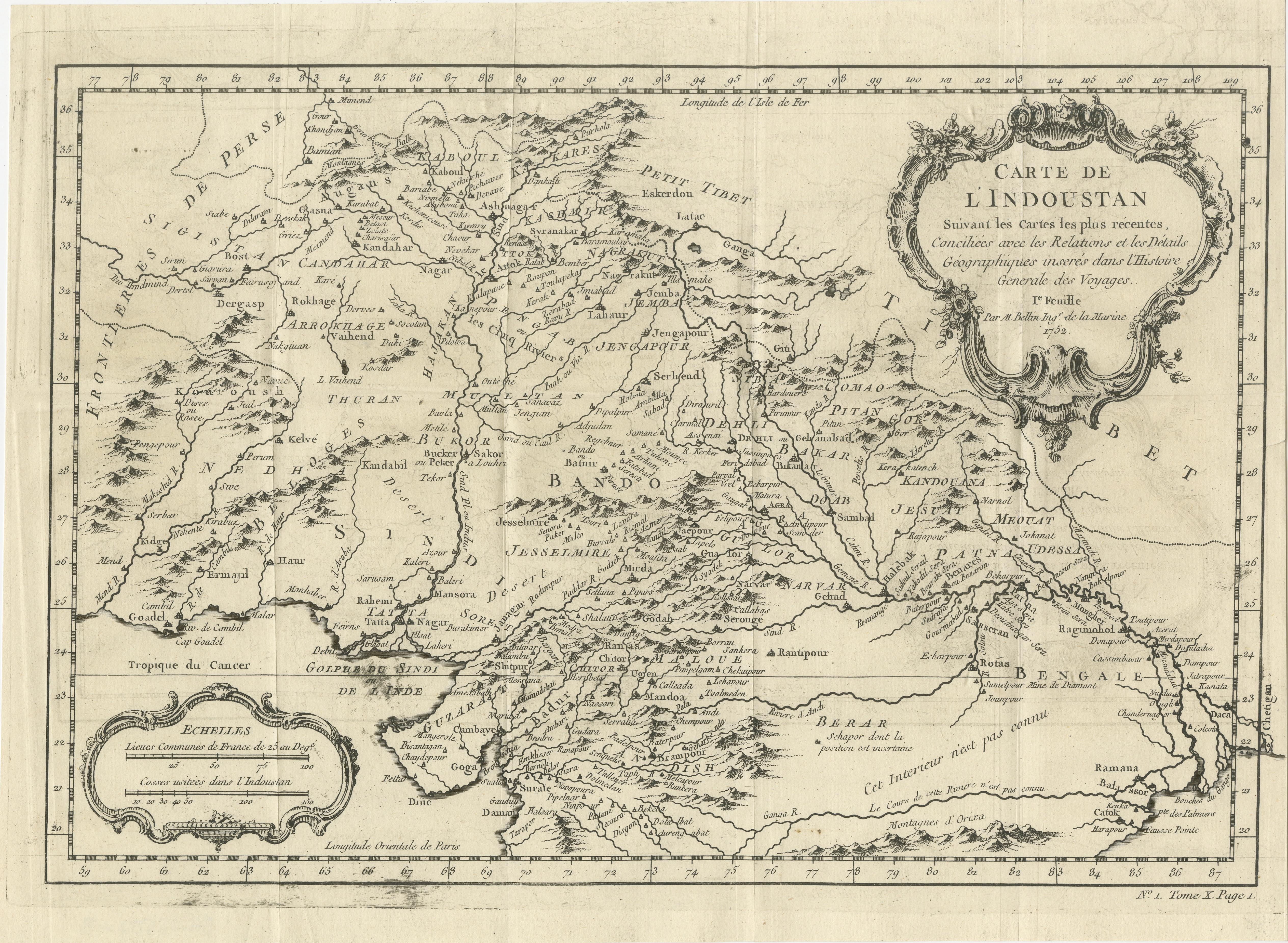
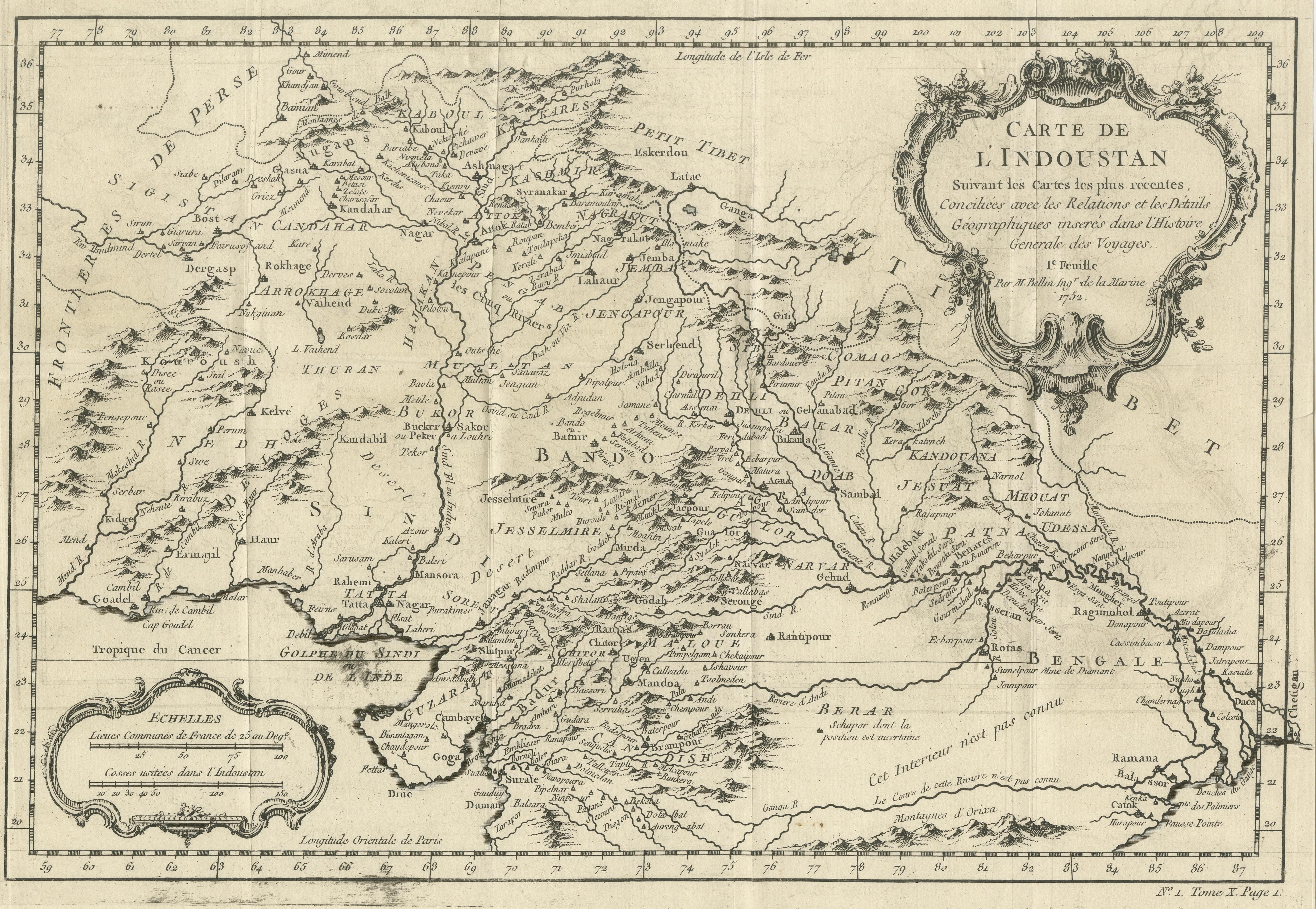
Antique Map of part of India, the Ganges and Hindustan

€ 330

One of a kind: this is the sheet in the photographs. Ships from Langweer, the Netherlands.

Sheet size
26.2 × 35.7 cm (10.3 × 14.1 in)
Condition
Good
Reference
BG-13507-3

Condition

General age-related toning. Original folding lines. Minor wear and soiling. Blank verso. Please study image carefully.
About this sheet

Antique map titled 'Carte de l'Indoustan'. Original antique map of part of India, the Ganges and Hindustan. This map originates from 'Histoire Generale Des Voyages' by Antoine Francois Prevost d'Exiles. Published 1752.

Antoine François Prévost d'Exiles usually known simply as the Abbé Prévost, was a French priest, author, and novelist.

More from India & Ceylon

Ask about this sheet

Antique Map of part of India, the Ganges and Hindustan
Ref. BG-13507-3 · € 330
We reply by email, usually within one working day.