About this sheet
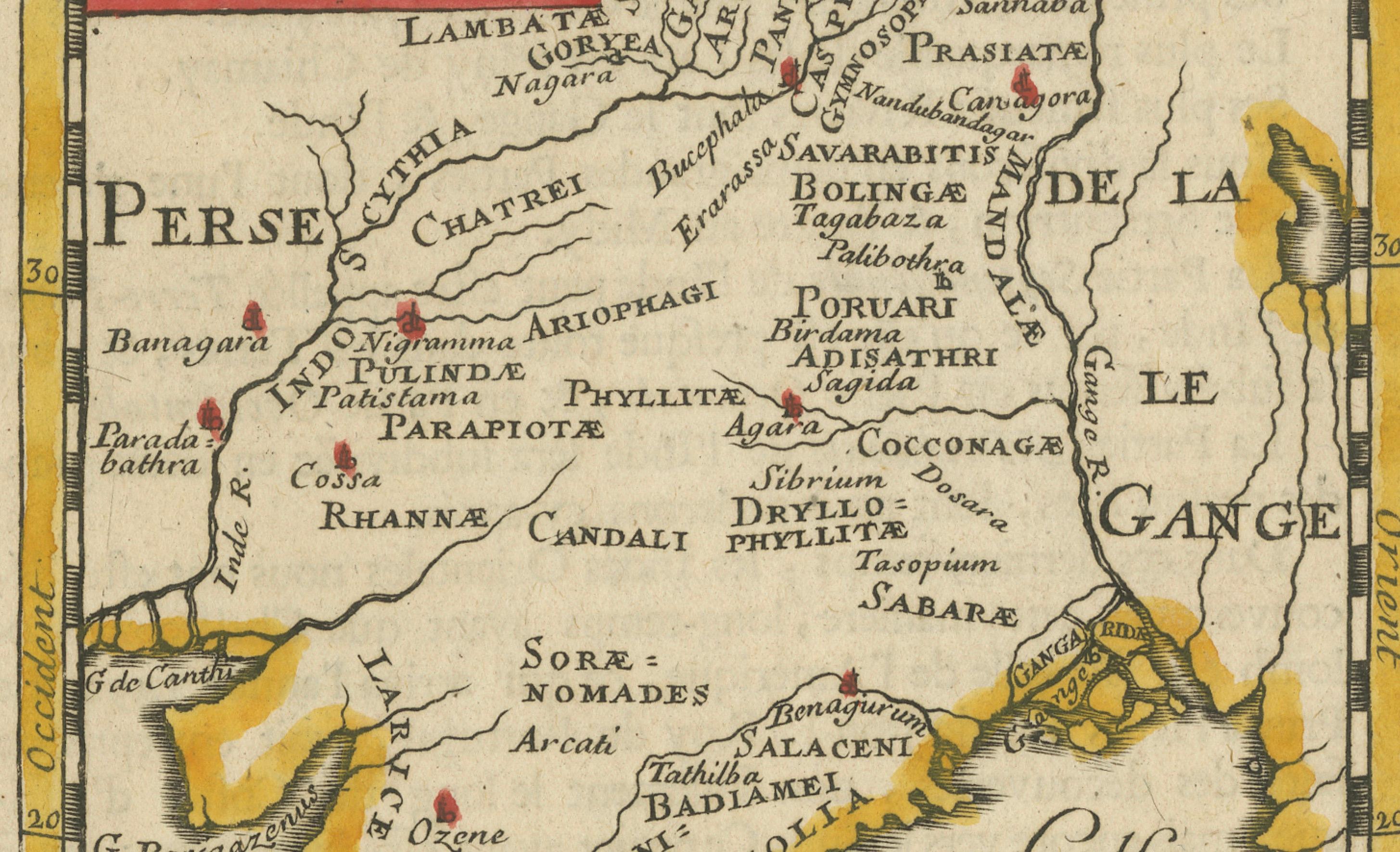
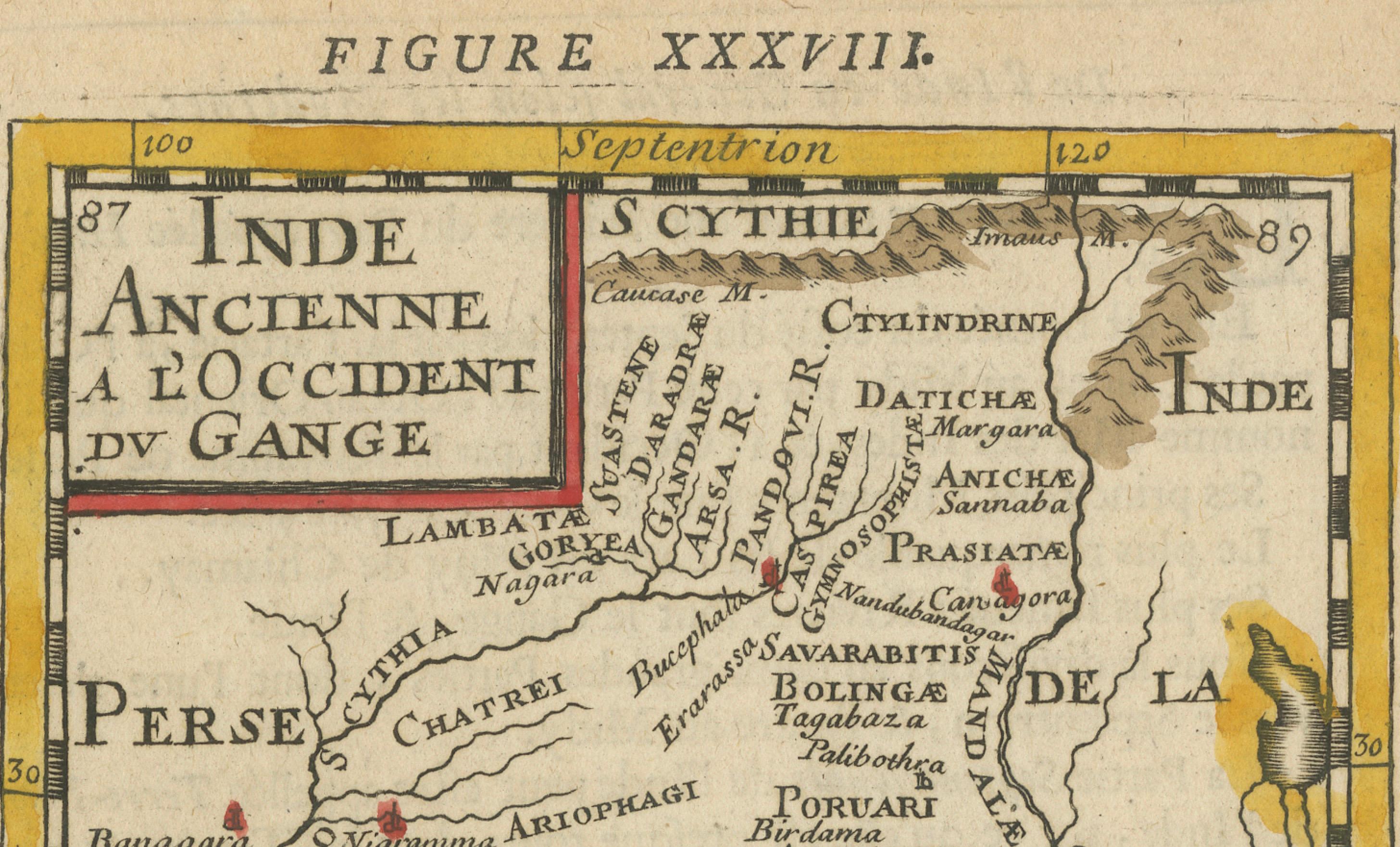
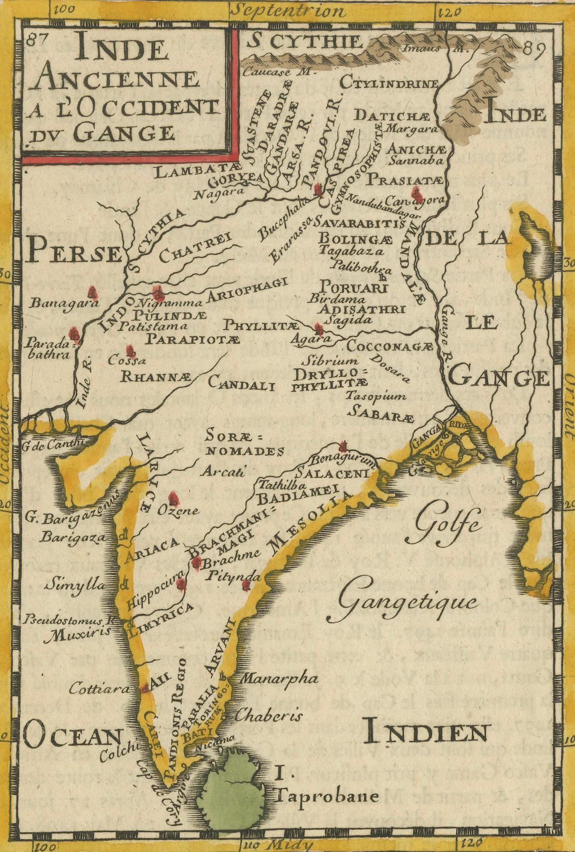
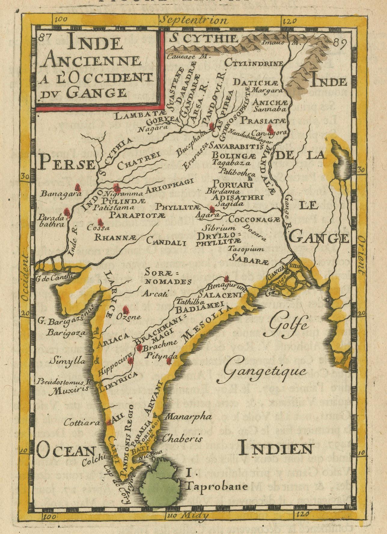
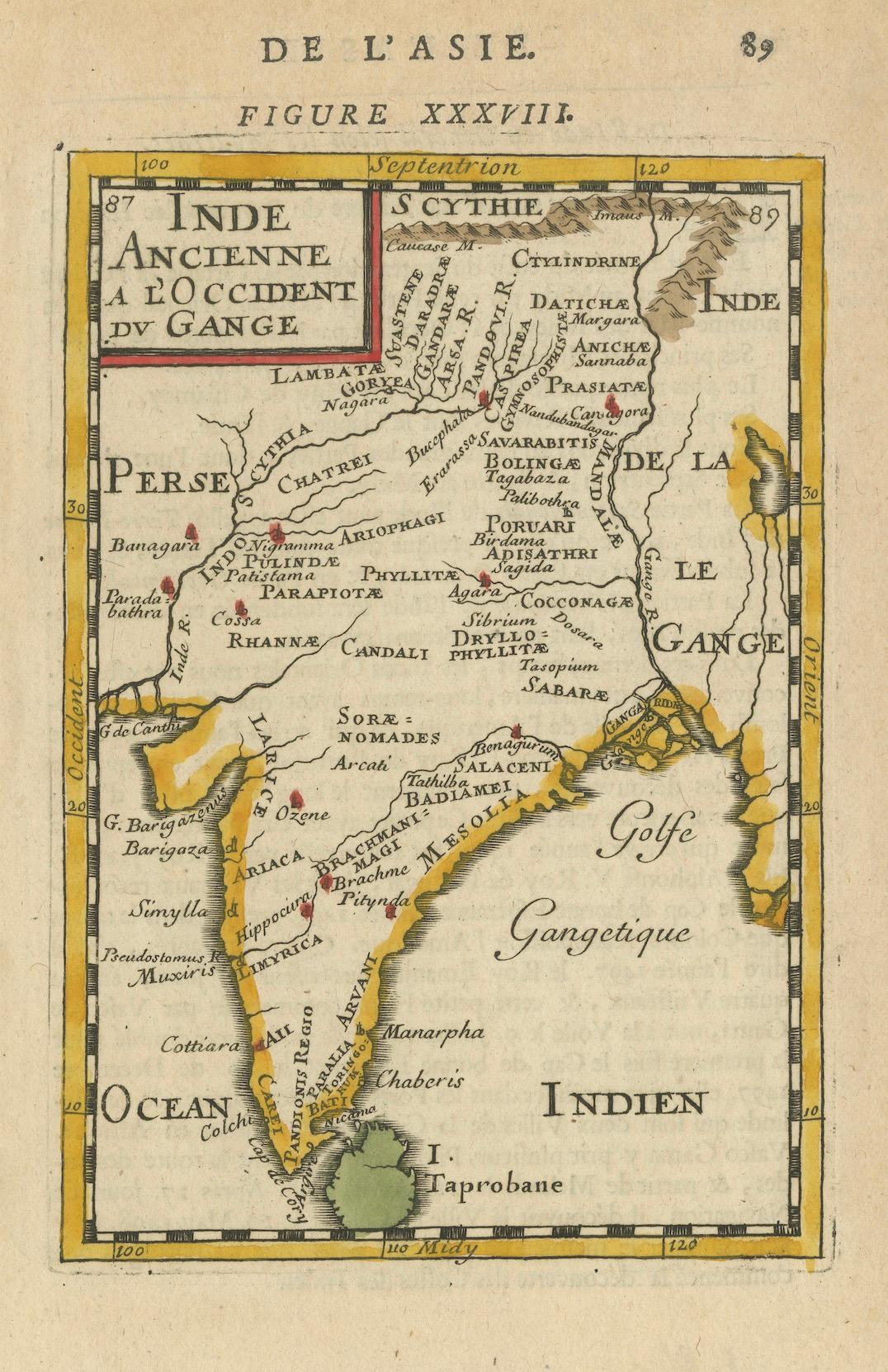
This finely engraved seventeenth-century map, titled Inde Ancienne à l’Occident du Gange, was published in 1683 as part of Alain Manesson Mallet’s 'Description de l’Univers'. The map was produced in Paris by Denys Thierry and is hand-colored, presenting an early European interpretation of ancient India, the Indian Ocean, and the surrounding territories, including Taprobane, an early cartographic representation of Sri Lanka.
Mallet’s map focuses on India as it was understood in classical antiquity, drawing from early Greco-Roman sources such as Ptolemy. It depicts the Indus Valley, the Ganges River, and the Indian subcontinent as divided into various regions, with place names derived from ancient texts. The map labels Persia, Scythia, and the Gangetic Gulf (Golfe Gangetique), reflecting early European conceptions of India’s geography. The Himalayas and northern frontiers are depicted with stylized mountain ranges, while the coastline is carefully detailed with ports and settlements known to early explorers.
The Ganges River, a key geographic and cultural landmark, is prominently shown flowing into the Bay of Bengal. Mallet's depiction of Taprobane, or Sri Lanka, follows classical traditions that misrepresented the island’s size and location, a common error in European maps of this period. The inclusion of Taprobane reflects the continuing influence of Greco-Roman geographic traditions, even as more accurate maps of South Asia were emerging through European maritime exploration.
This map belongs to Mallet’s *Description de l’Univers*, a comprehensive geographical work first published in 1683. Mallet, a French cartographer, military engineer, and cosmographer, created detailed miniature maps that combined aesthetic appeal with contemporary geographic knowledge. His maps were widely circulated and were designed to inform European readers about distant lands during the height of France’s global ambitions under King Louis XIV.
Mallet’s engraving style is evident in the delicate hatching and shading used to depict terrain, as well as the decorative border that frames the map. The original hand-coloring, with soft yellow outlining the coastline and red markings for settlements, enhances its visual appeal. This compact yet detailed map serves as both a historical record of early European perceptions of India and an artistic representation of seventeenth-century cartography.
Cartographer and Source:
Alain Manesson Mallet, who lived from sixteen thirty to seventeen hundred six, was a French military engineer, cartographer, and cosmographer. His *Description de l’Univers*, published in sixteen eighty three, was an ambitious work containing maps, city views, and descriptions of the known world. Mallet’s maps are recognized for their fine engraving, compact format, and artistic quality, making them highly sought after by collectors.
Condition Report:
The paper is well-preserved, exhibiting the fine laid texture and chain lines typical of seventeenth-century French printing. The engraving remains crisp, with clear lettering and well-defined geographical features.
There is light age-toning, particularly along the edges, which is expected for a map of this age. The hand-coloring remains vibrant, with soft yellow outlining the coastline and red dots marking settlements. There is minor text bleed-through from the reverse side, common in books of this period, but it does not interfere with the map’s clarity. The margins are intact, with no significant tears, stains, or repairs, making this a fine and collectible example of early European cartography of India.
Framing Recommendations:
To properly protect and display this antique map, museum-quality archival materials are recommended.
For matting and backing, use acid-free, museum-grade board to prevent further aging. A double mat with a neutral outer mat and a warm beige or soft gold inner accent will enhance the historical character of the engraving.
A dark walnut, black, or gilded wooden frame will complement the map’s early cartographic style. An antique-style frame with subtle detailing would further highlight its seventeenth-century origins.
To protect the map, UV-resistant museum glass or acrylic is advised to prevent fading while maintaining clarity. Anti-reflective glass ensures that the fine engraving details remain fully visible without glare.
For mounting, avoid adhesives. Instead, use archival-quality corner mounts or Japanese paper hinges to secure the map safely without causing damage.
The framed map should be displayed in a stable environment, away from direct sunlight, humidity, and temperature fluctuations. Ideal locations for display include a study, library, or gallery, where its historical and artistic significance can be fully appreciated.
This 1683 Mallet map of ancient India, the Ganges, and Taprobane is a...