Maps & PrintsBartele Gallery · Langweer
Home / Antique Maps / Asia / South Asia / India & Ceylon

India & Ceylon

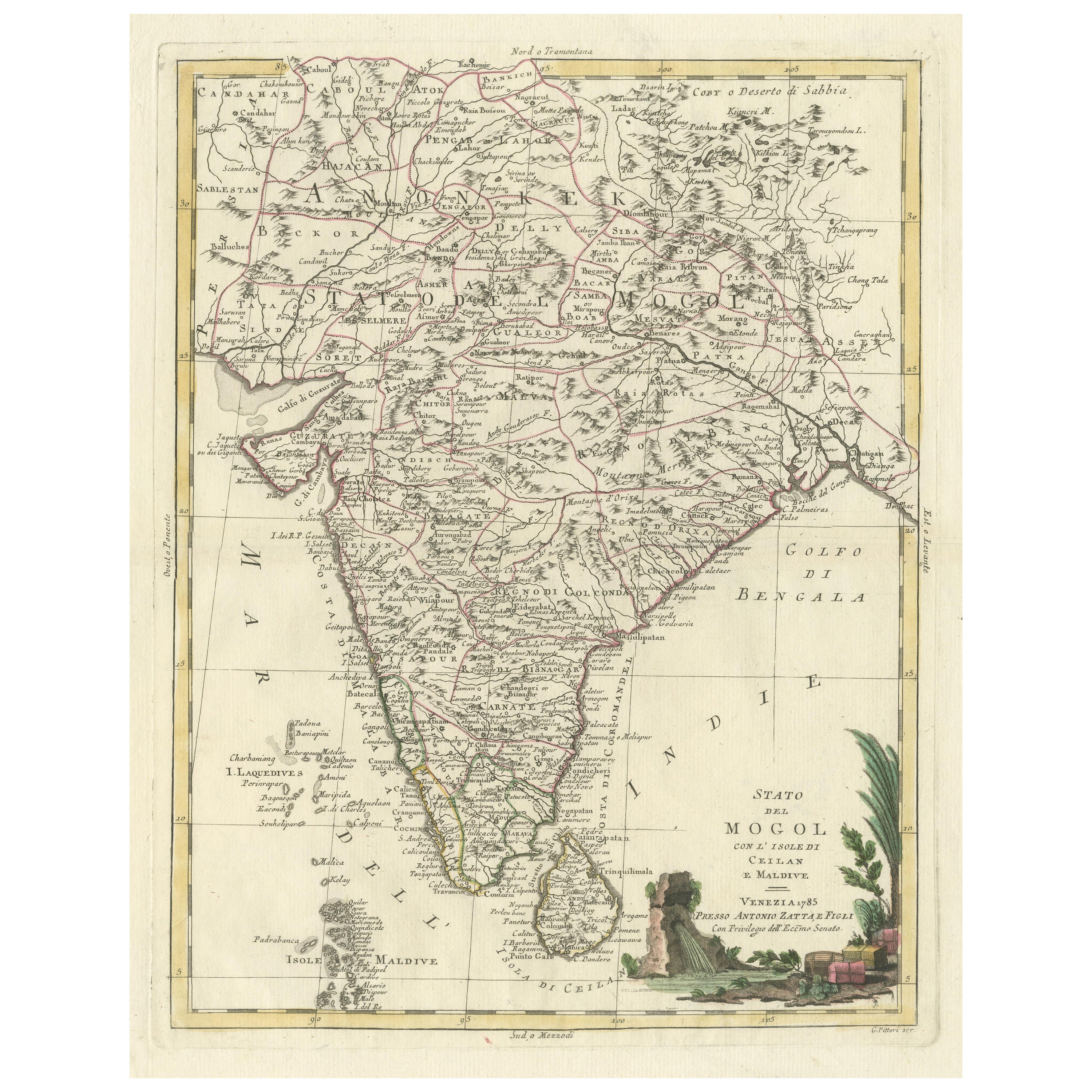
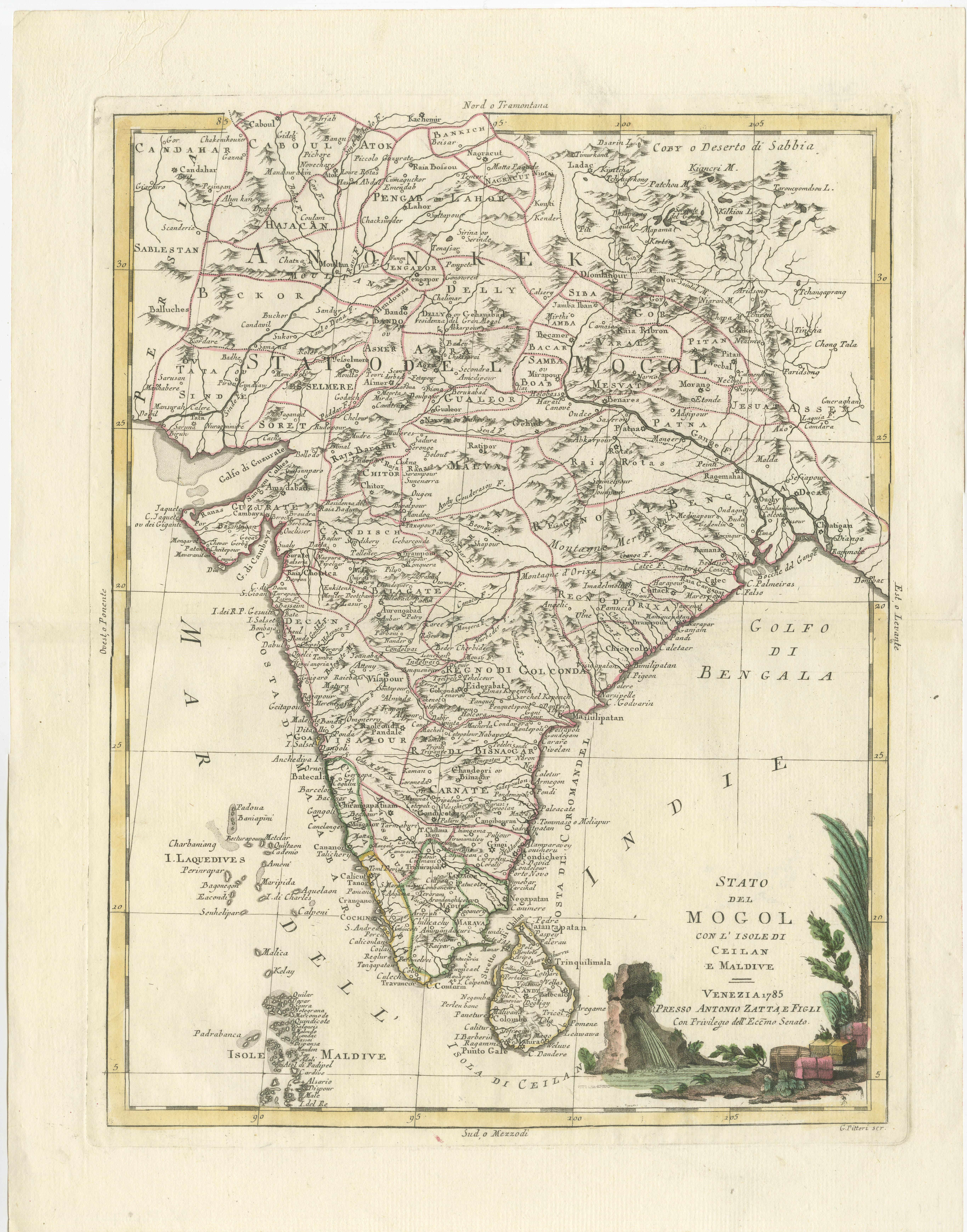
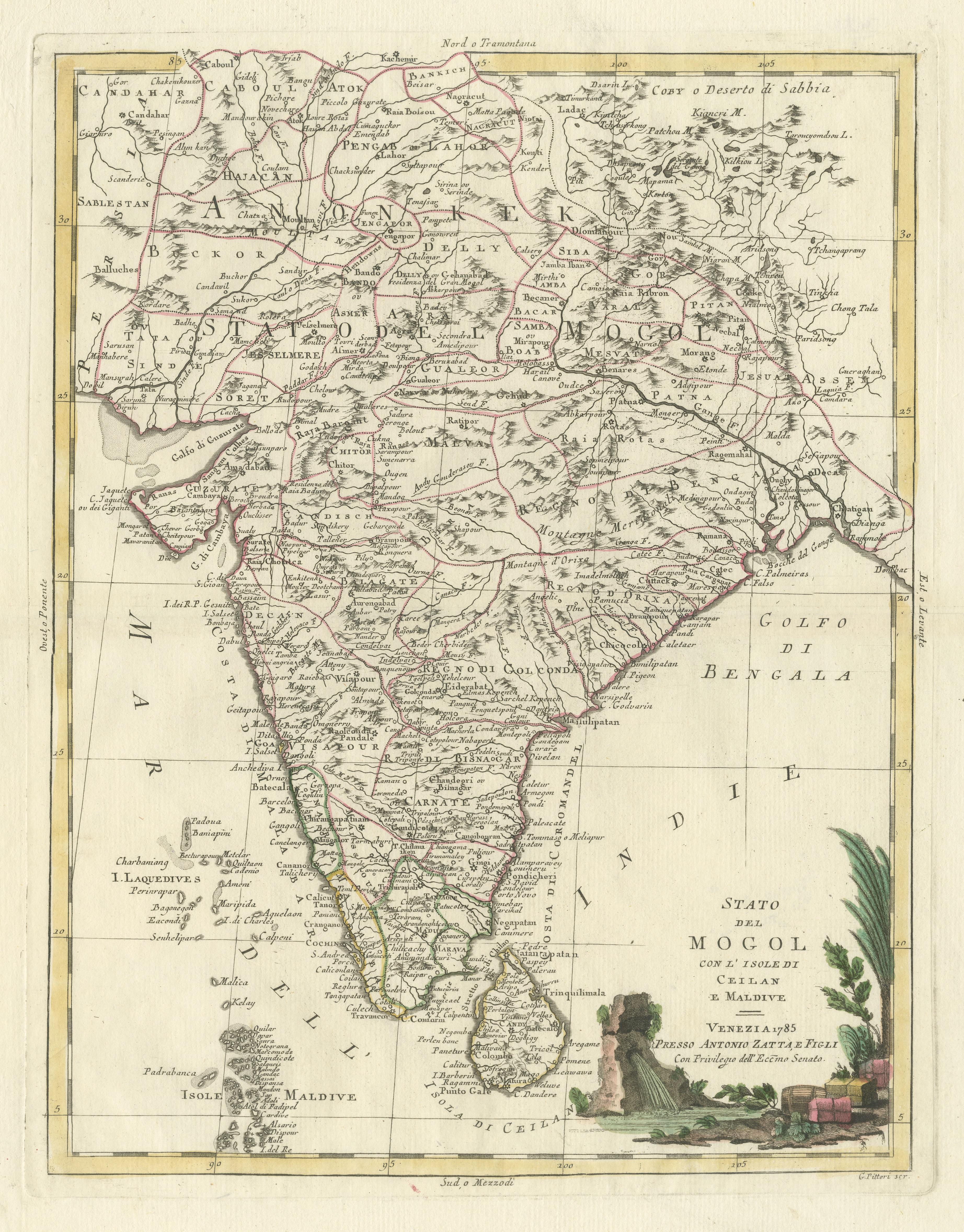
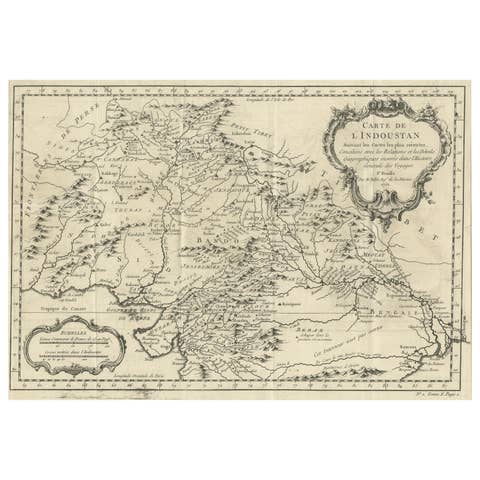
Antique Map of India and Ceylon, along with the Maldives

€ 540

One of a kind: this is the sheet in the photographs. Ships from Langweer, the Netherlands.

Sheet size
49.3 × 38.2 cm (19.4 × 15.0 in)
Condition
Good
Reference
BG-13507-1

Condition

General age-related toning. Original folding line with split in right margin and a very small split affecting image. Minor wear and soiling, blank verso. Please study image carefully.
About this sheet

Antique map titled 'Stato del Mogol con l'Isole di Ceilan e Maldive'. Beautiful map of India and Ceylon, along with the Maldives. Includes a large decorative title cartouche. The map was issued in Zatta's Atlante Novissimo a monumental 4 volume work and is one of the last great decorative atlases.

Antonio Zatta (fl. 1757-1797) was a prominent Italian editor, cartographer, and publisher. Little is known about his life beyond his many surviving published works. It is possible that he was born as early as 1722 and lived as late as 1804. He lived in Venice and his work flourished between 1757 and 1797. He is best known for his atlas, Atlante Novissimo (1779-1785), and for his prolific output of prints and books that were both precisely made and aesthetically pleasing. Zatta clearly had a large network from which to draw information; this is how he was able to publish the first glimpse of the islands visited by Captain Cook in the Atlante Novissimo. Zatta also published books of plays and architecture.

More from India & Ceylon

Ask about this sheet

Antique Map of India and Ceylon, along with the Maldives
Ref. BG-13507-1 · € 540
We reply by email, usually within one working day.