About this sheet
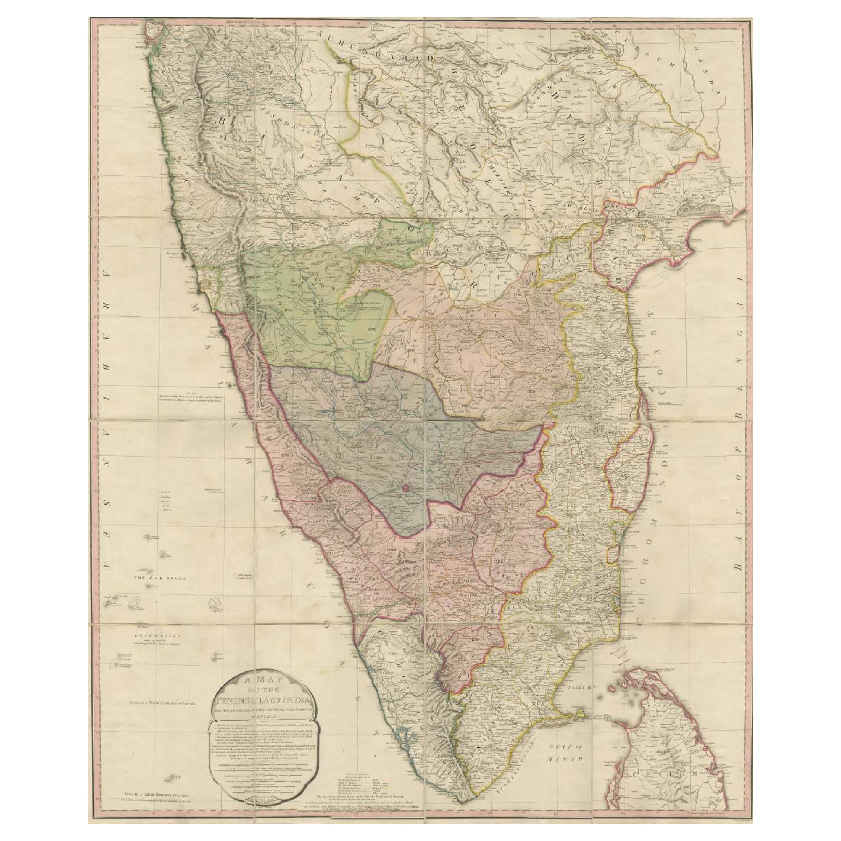
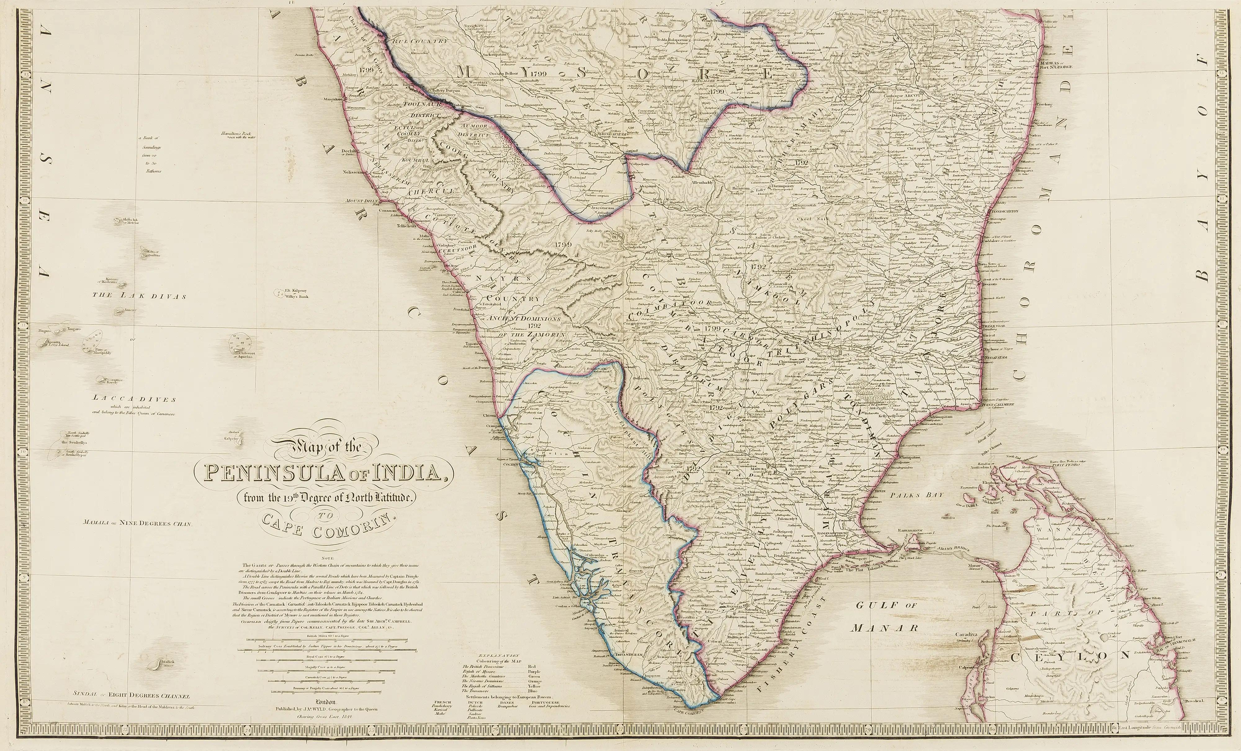
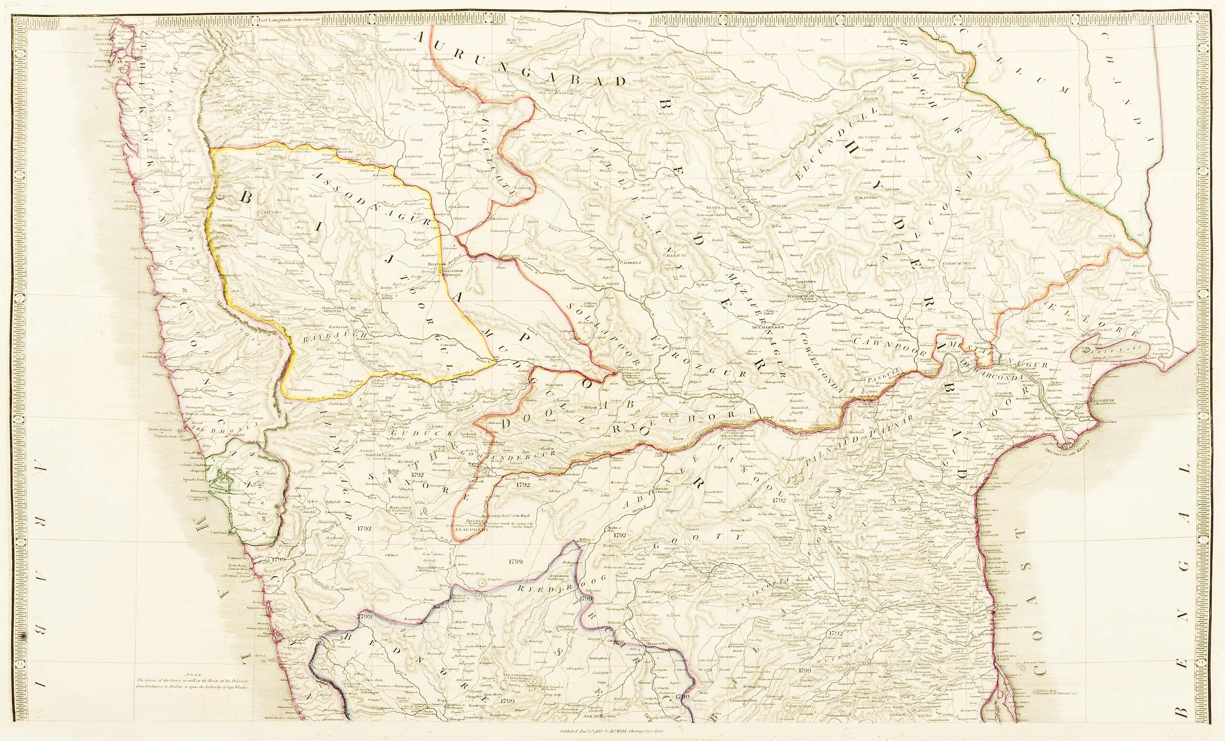
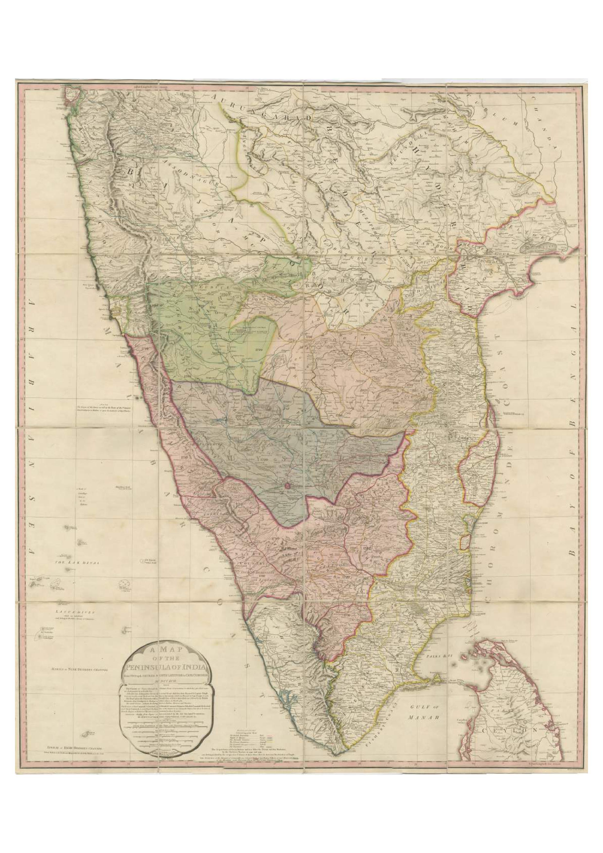
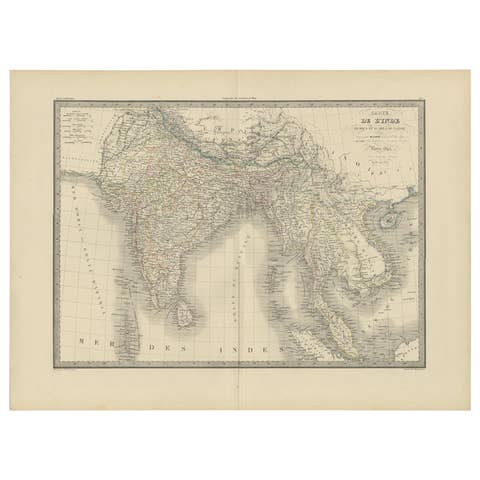
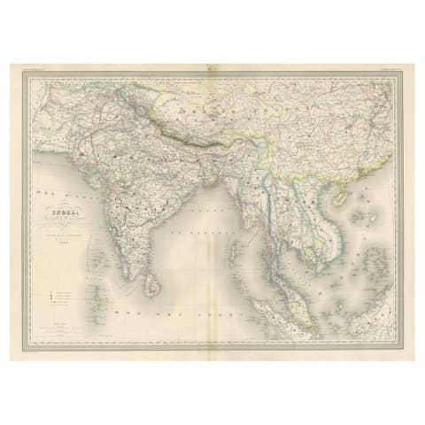
This extensive map of India, spanning two sheets, draws from Reynell’s original map and incorporates data provided by Sir Archibald Campbell, as well as surveys conducted by Colonel Pringle and Colonel Allan. It features a comprehensive list of European colonial settlements and an accompanying key that clarifies the map's color-coded details.
The map, created by James Wyld, depicts the Peninsula of India from the 19th degree of North Latitude to Cape Comorin. It's a significant representation of India and part of Ceylon (now Sri Lanka) in the lower right corner, printed on two large sheets.
**Title:** Map of the Peninsula of India
**Cartographer:** James Wyld
**Description:** Large two-sheet map of India with part of Ceylon in the lower right
**Technique:** Engraving with some outline hand-coloring
**Dimensions:** Each sheet approximately 590 x 850 mm
This map, printed across two sizable sheets but joined together on one linen backing, offers extensive coverage of the Indian Peninsula, ranging from the 19th degree of North Latitude to Cape Comorin. Wyld's cartographic work is notable for its precision and detail, presenting a comprehensive view of the geographical features, boundaries, and topography of the region.
The use of engraving techniques allows for intricate lines and fine details, while the outline hand-coloring likely helps distinguish various geographical elements, such as borders, coastlines, rivers, and important settlements.
Given the map's dimensions and the coverage it provides, it serves as an essential reference for understanding the geographical layout and significant features of the Indian Peninsula during the period it was created.
Wyld's maps are often prized for their accuracy and clarity, making them valuable resources for historical and geographical research. This particular map, spanning two sheets and showcasing India and part of Ceylon, is a significant cartographic piece offering insights into the geographical understanding of the region during the time of its creation.
Platemarks approx. 510 x 835 mm. (20 x 32 7/8 in), each sheet approx. 590 x 850 mm. (23 1/4 x 33 1/2 in), 1844.
James Hope Wyld, born in 1812, was a highly respected British mapmaker renowned for his dedication to producing maps featuring the most current and recently acquired information. Initially educated at Woolwich with intentions to join the army, Wyld changed course at 18 and joined his father, James Wyld the elder, in their esteemed map publishing enterprise. Following his father's footsteps, he gained considerable esteem, earning 17 European orders of merit throughout his lifetime.
Wyld demonstrated remarkable business acumen and upon his father's passing in 1836, he assumed sole proprietorship of the business. His contributions to cartography earned him recognition, leading to his election as a fellow of the Royal Geographical Society in 1839. Additionally, he was appointed Royal Geographer to Queen Victoria and Prince Albert, a prestigious position previously held by his father.
Famous for his prolific and current mapmaking, Wyld was humorously praised by the satirical newspaper Punch in 1849 for his ability to foresee beyond others. The publication jokingly suggested that if a new country were discovered in the center of the earth, Wyld would swiftly create a "Grand Map of that delightful spot, the Centre of the Earth" for potential emigrants. This jest was inspired by Wyld's ambitious project, "Wyld's Great Globe," an immense spherical hall resembling a globe, allowing visitors a unique inside-out view of the world. This attraction, situated in London's Leicester Square, attracted substantial crowds, second only to the Great Exhibition in visitor numbers.
Simultaneously managing this attraction, Wyld served as a Whig Member of Parliament for the Bodmin seat during two periods (1847-1852 and 1857-1868). His diverse roles and significant contributions to both cartography and public service marked a distinguished career. He passed away in 1887 in Kensington, after which his son, James John Cooper Wyld, assumed control of the family business, continuing the legacy of cartographic excellence.