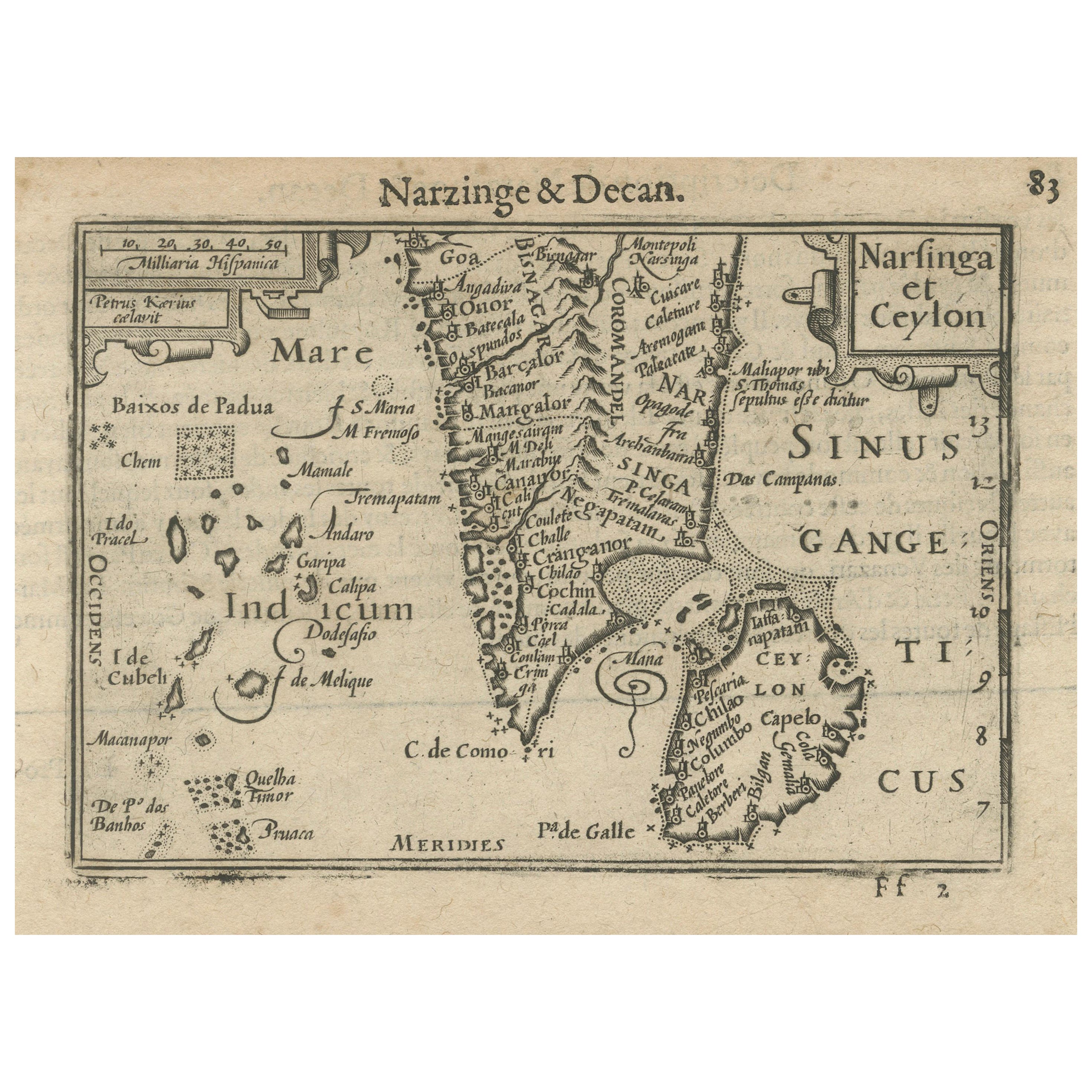
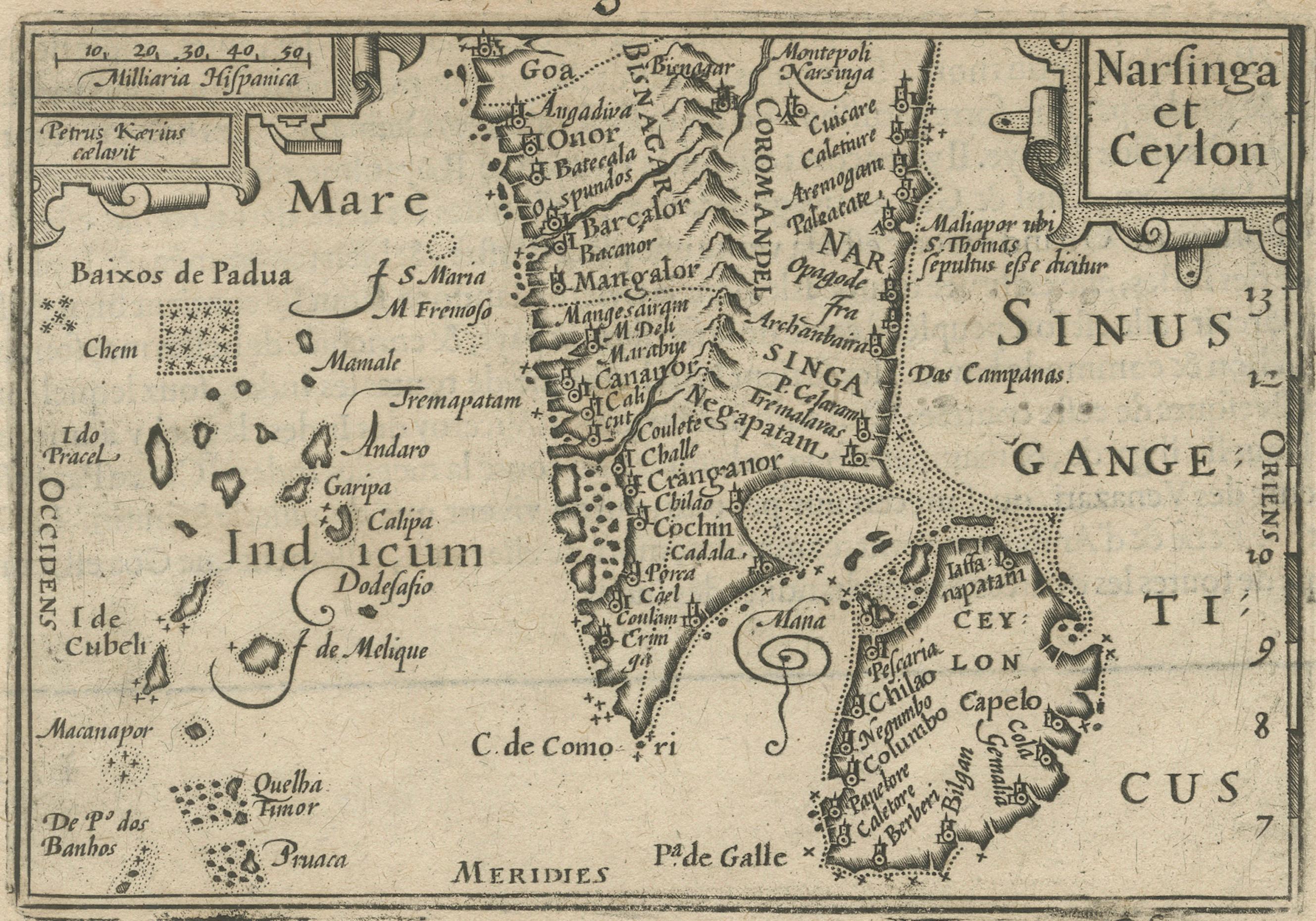
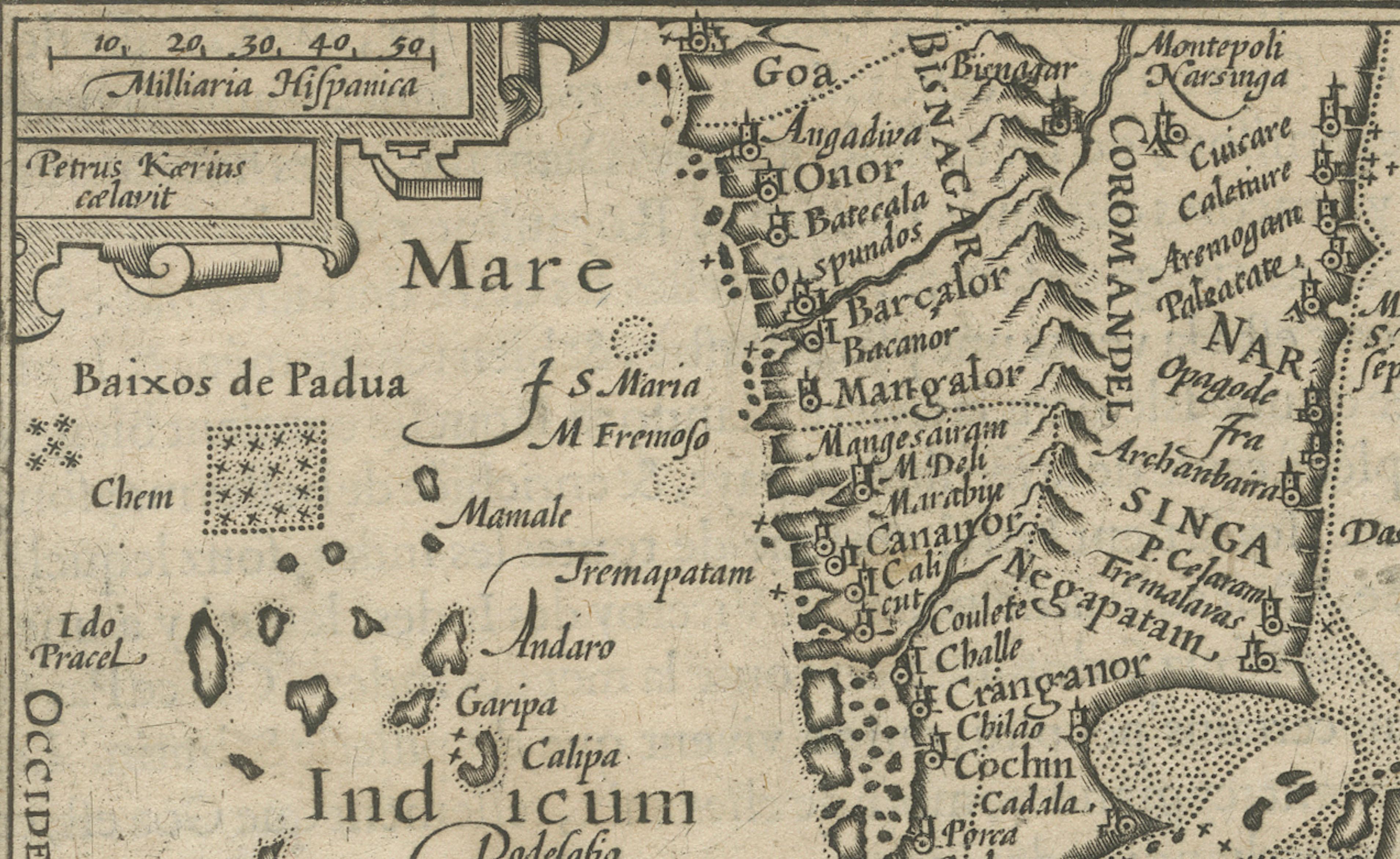
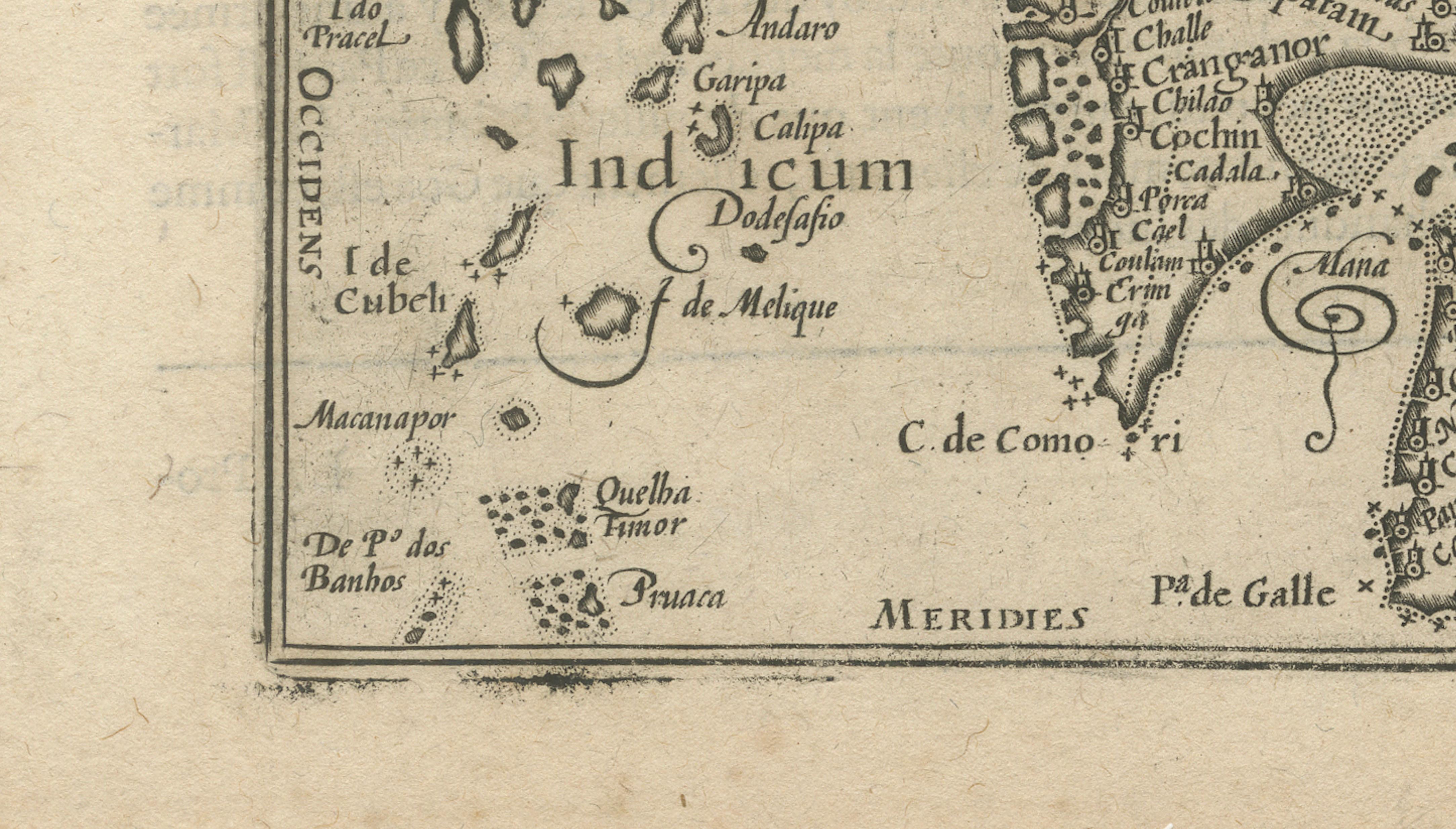
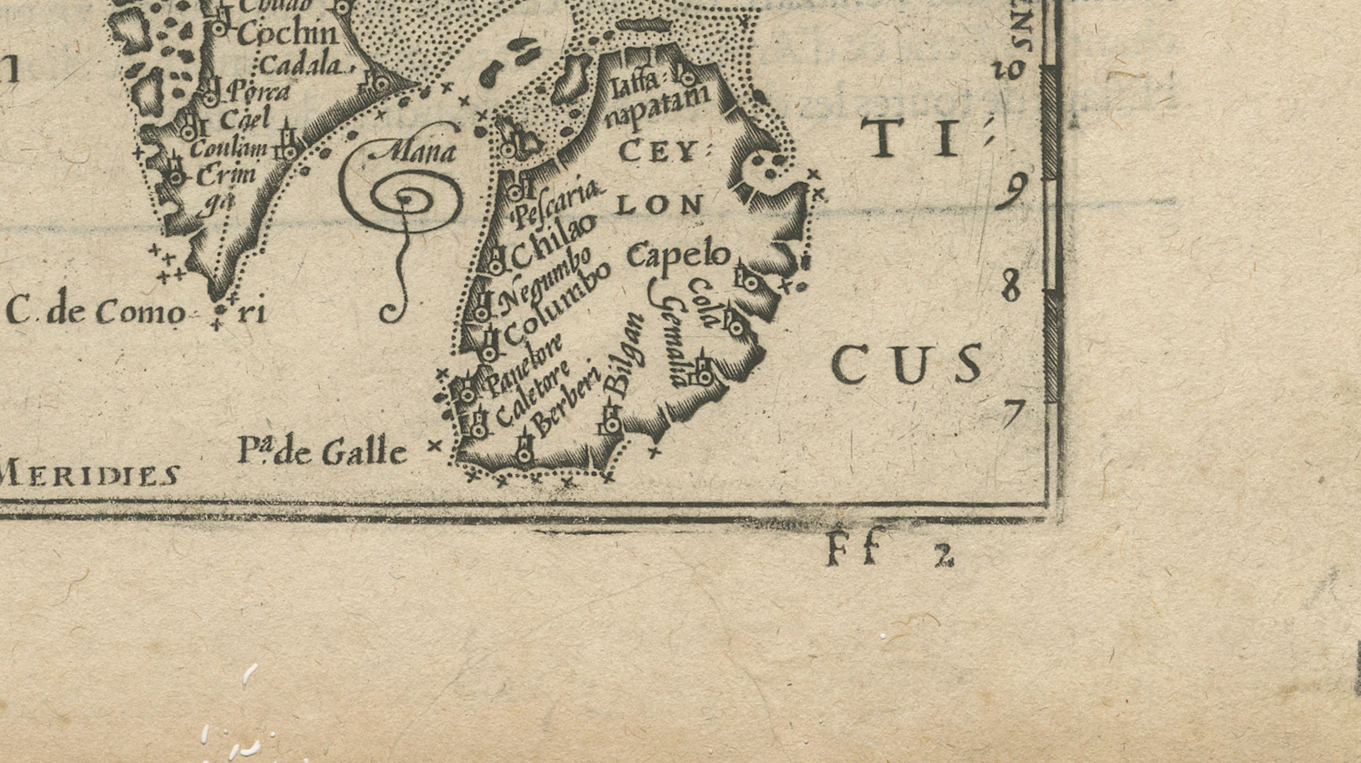
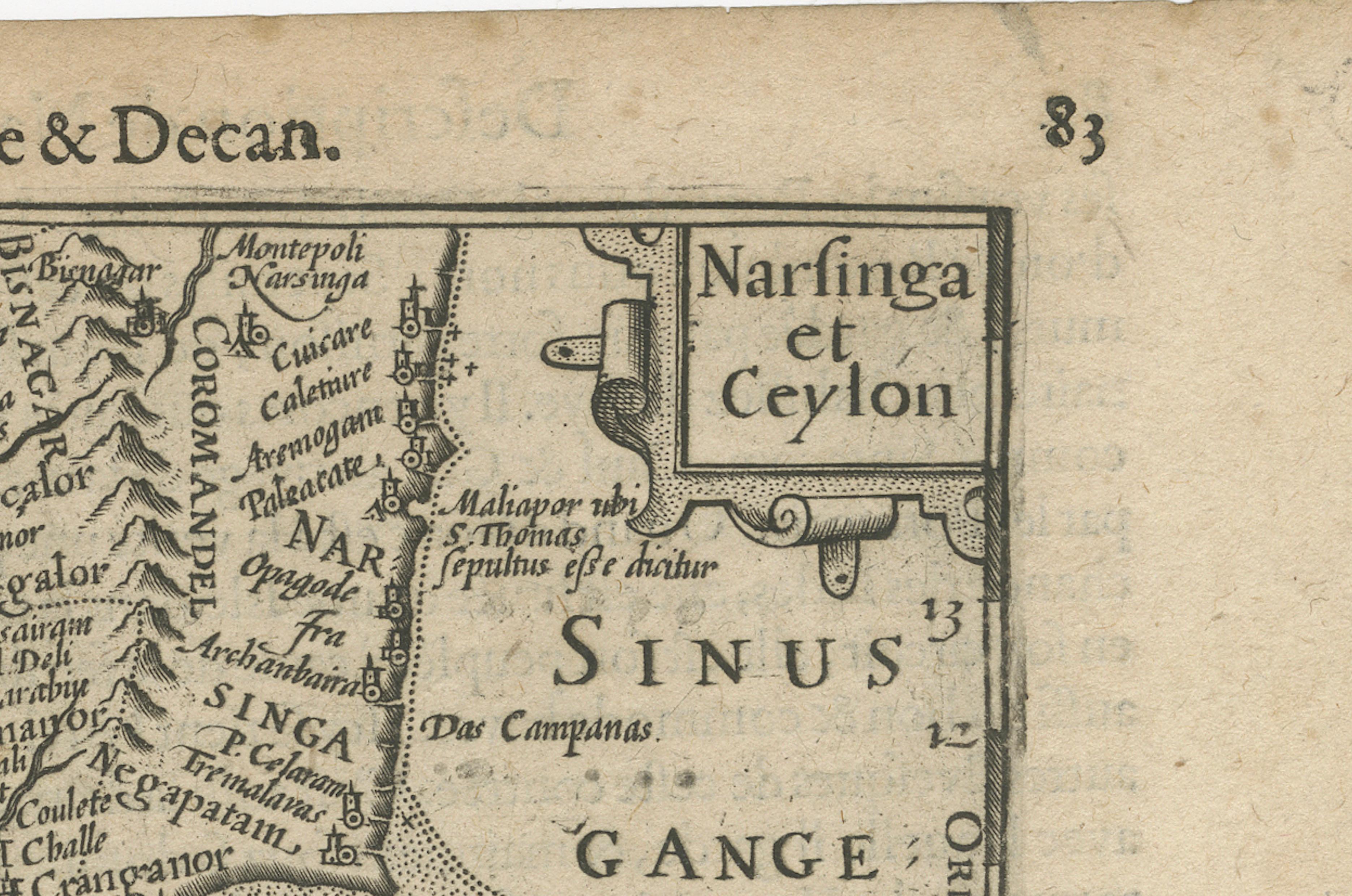
1616 Petrus Kaerius Map of Southern India and Ceylon – Narsinga et Ceylon
€ 490
One of a kind: this is the sheet in the photographs. Ships from Langweer, the Netherlands.
Date
1616
Sheet size
11.9 × 18.6 cm (4.7 × 7.3 in)
Condition
Good
Reference
BG-14072-1
Condition
The map is in good condition for its age with strong engraving impressions. There is light age toning and minor foxing, with a few small edge nicks not affecting the image. The verso shows Latin text.
About this sheet
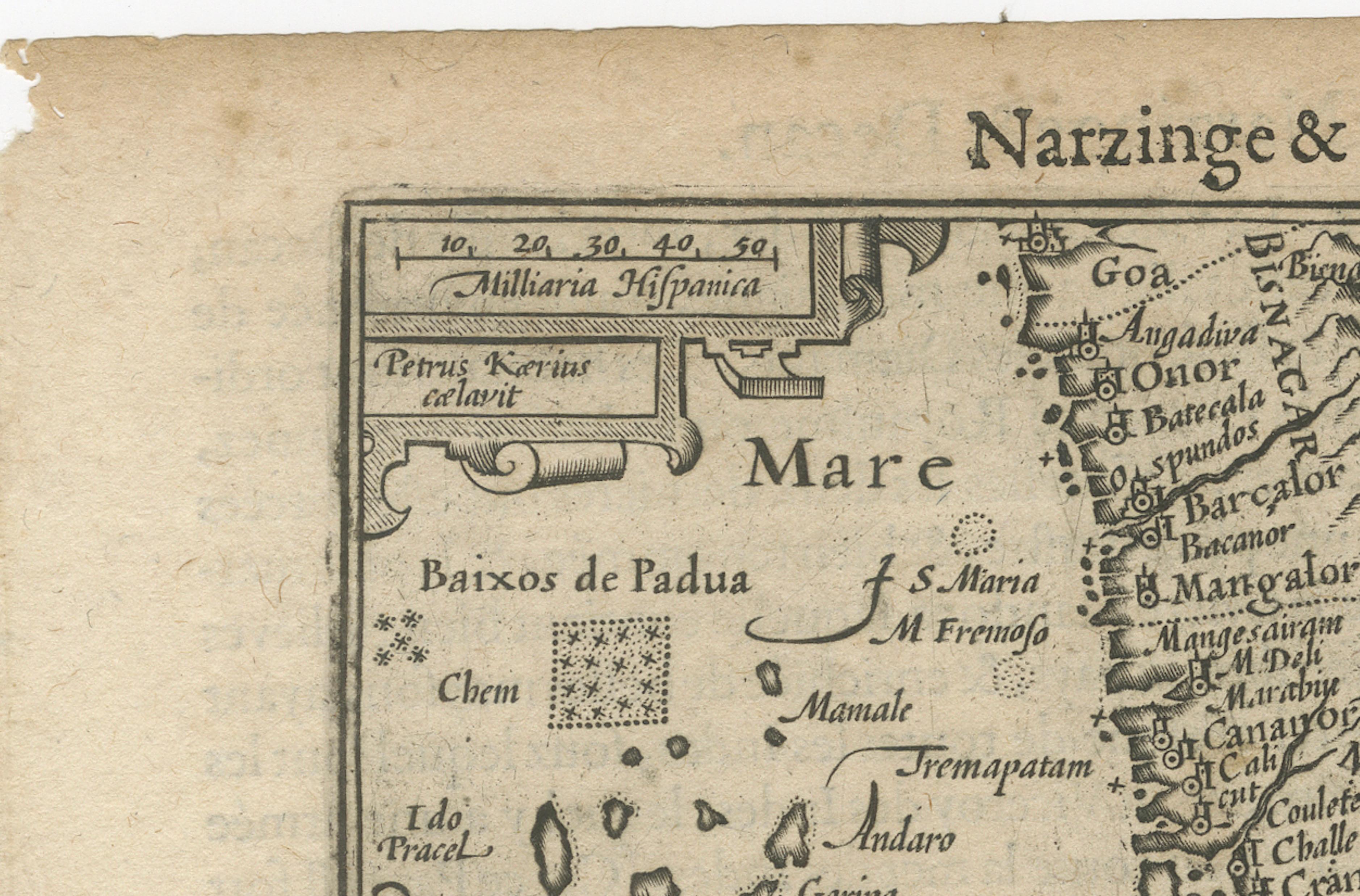
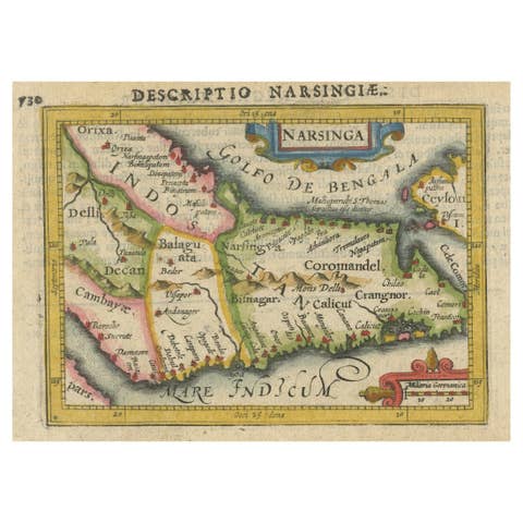
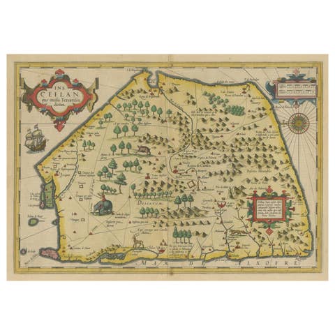
This rare early 17th-century copper engraved map titled 'Narsinga et Ceylon' was created by Petrus Kaerius (Pieter van den Keere) and published in 1616. It depicts the southern part of the Indian subcontinent, including the Coromandel and Malabar coasts, and the island of Ceylon (modern Sri Lanka), with remarkable detail for its size. The map comes from 'Caert-Thresoor', a pocket atlas first issued in 1598 and reprinted with updated plates through the early 17th century.
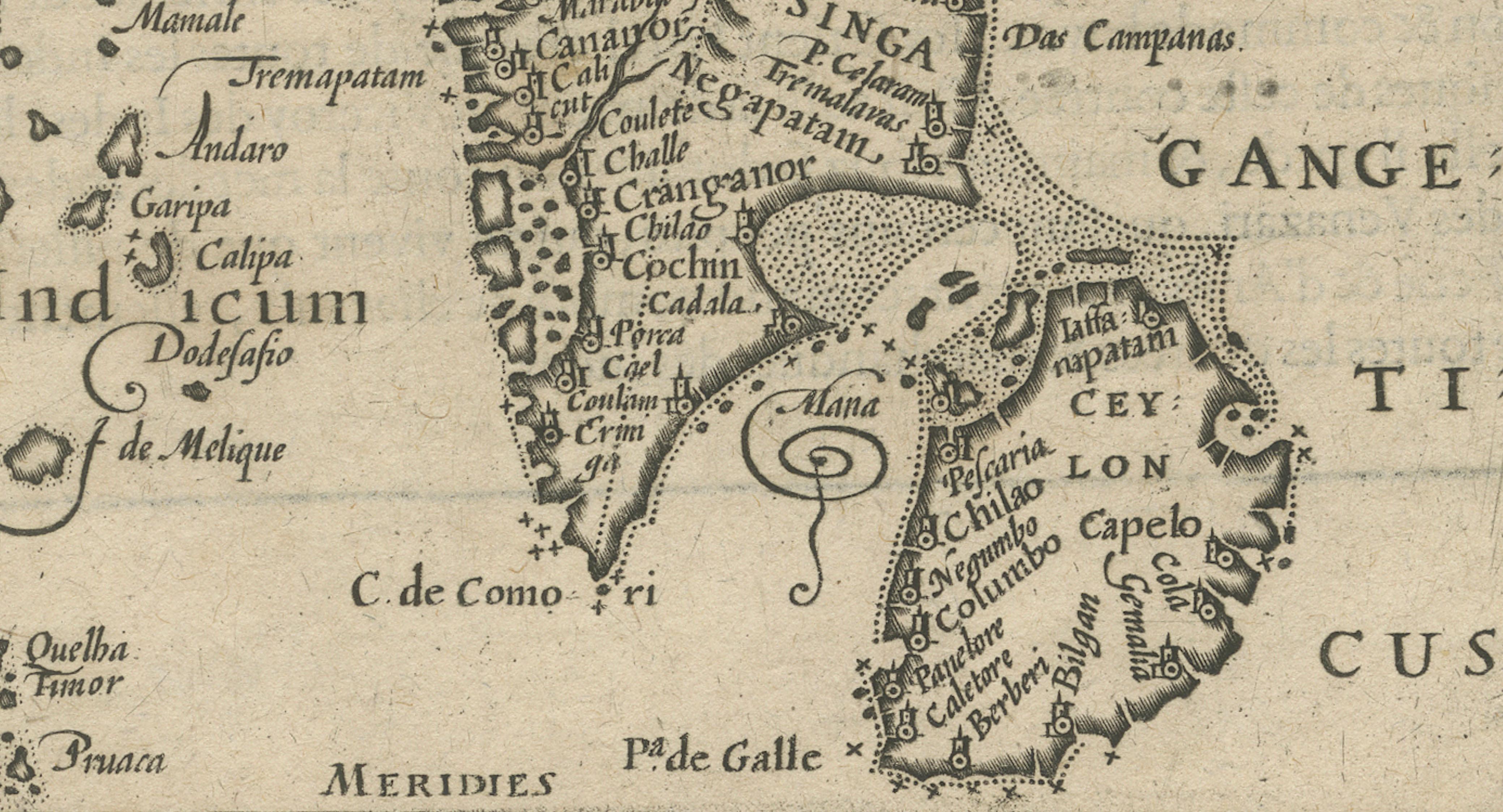
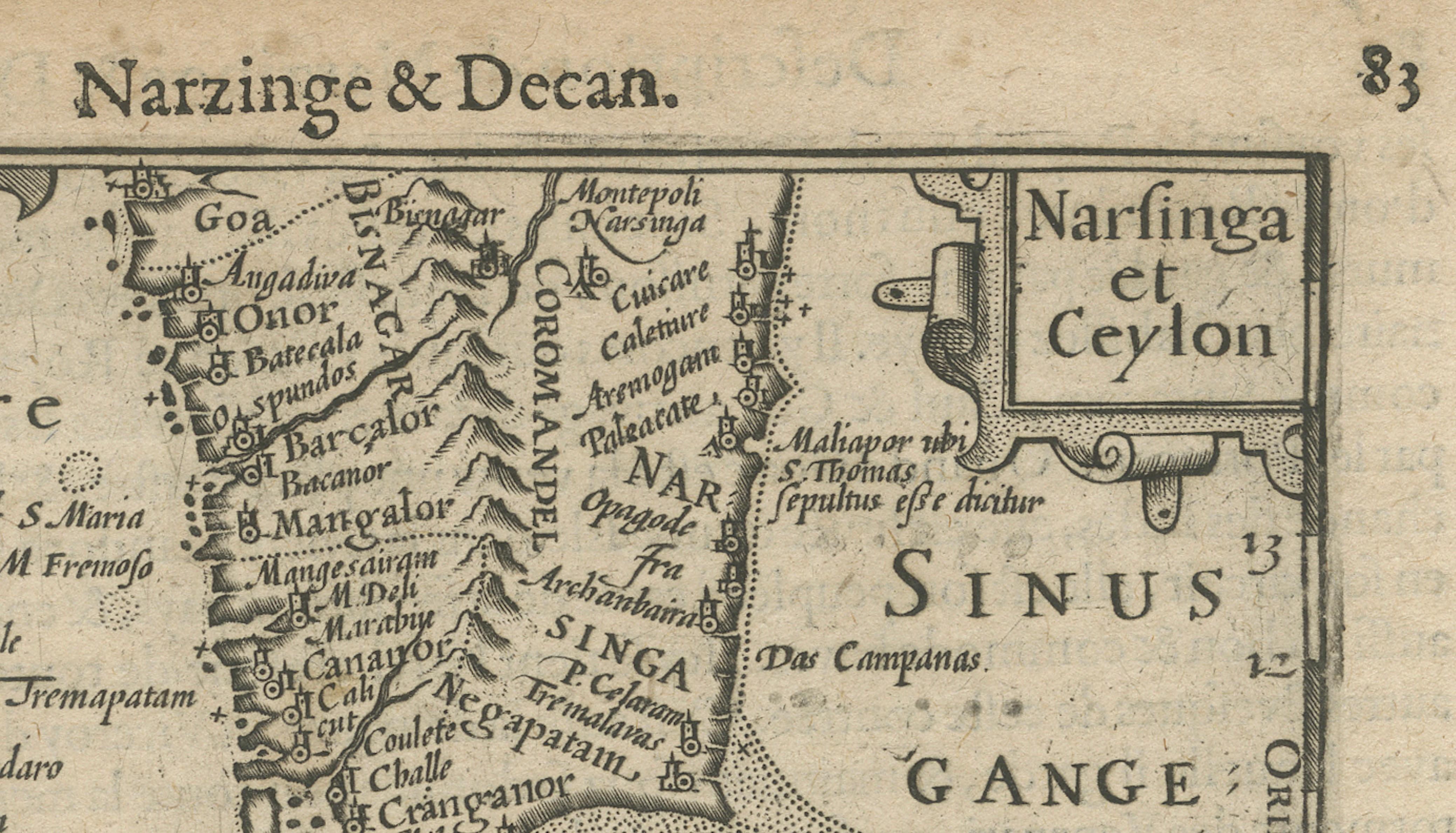
Key features include coastal towns such as Goa, Cochin, and Colombo, mountain ranges shown pictorially, and decorative cartouches framing the title and scale. It shows Portuguese place names such as Capelo and Dodolfsio, reflecting the Portuguese maritime dominance in the Indian Ocean during this period. The seas are labelled 'Mare Indicum' (Indian Ocean) and 'Sinus Gangeticus' (Bay of Bengal). The engraving is signed Petrus Kaerius caelavit in the scale cartouche, attesting to Kaerius’ role as both engraver and mapmaker.
Pieter van den Keere (Kaerius) was a prominent Dutch engraver and cartographer active in Amsterdam in the late 16th and early 17th centuries. His 'Caert-Thresoor' pocket maps were among the earliest affordable atlas maps available to merchants and scholars, preceding Blaeu’s and Mercator’s popular works. Maps from this series remain prized for their compact yet detailed style and historical value.
Condition report: The map is in good condition for its age with strong engraving impressions. There is light age toning and minor foxing, with a few small edge nicks not affecting the image. The verso shows Latin text.
Framing tips: This map will display elegantly in a slim black or dark wood frame with a gold inner edge to reflect its early 17th-century aesthetic. Pair it with a cream or warm ivory mat to highlight the paper’s natural tone, making it ideal for libraries, studies, or map collections focused on early colonial and maritime Asia.