About this sheet
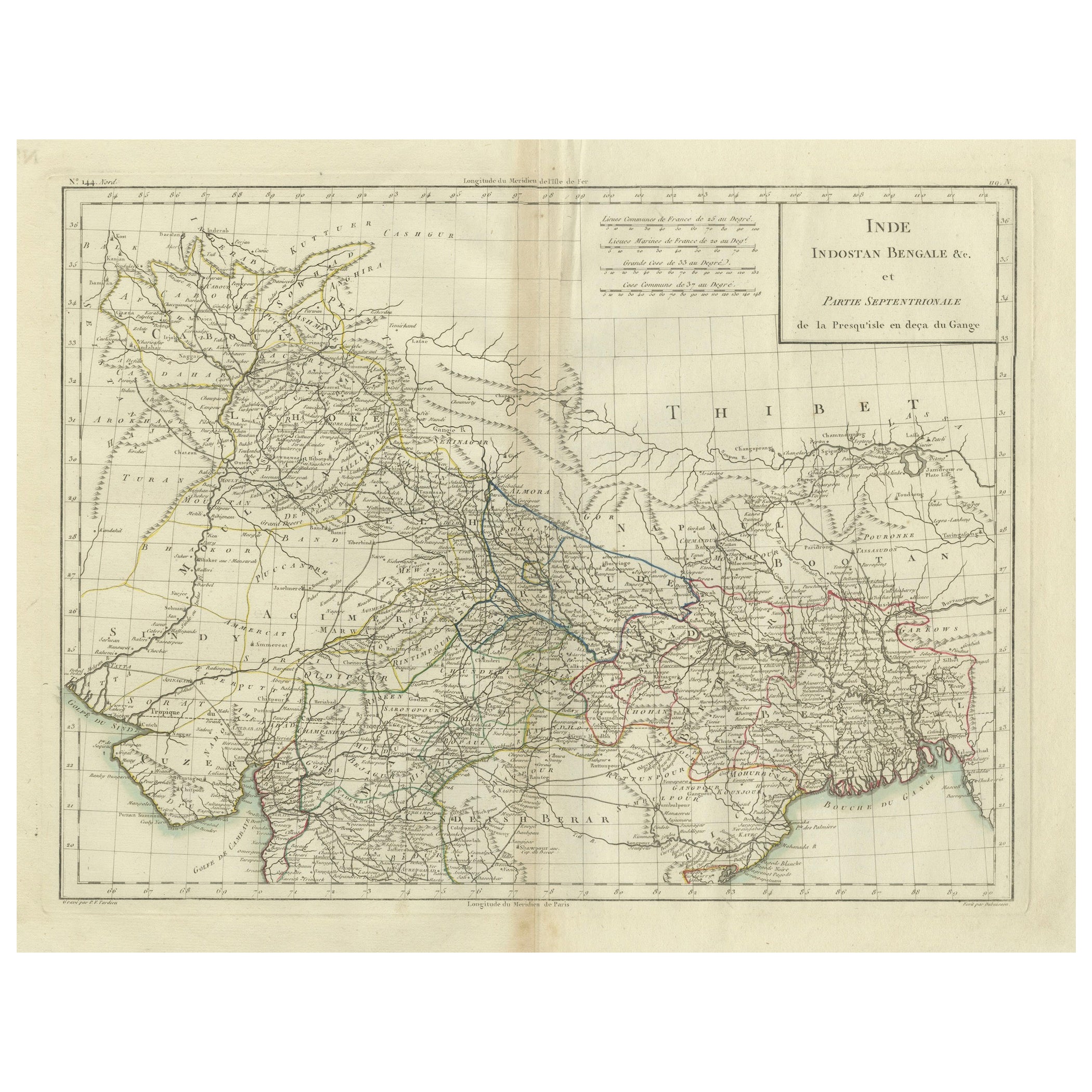
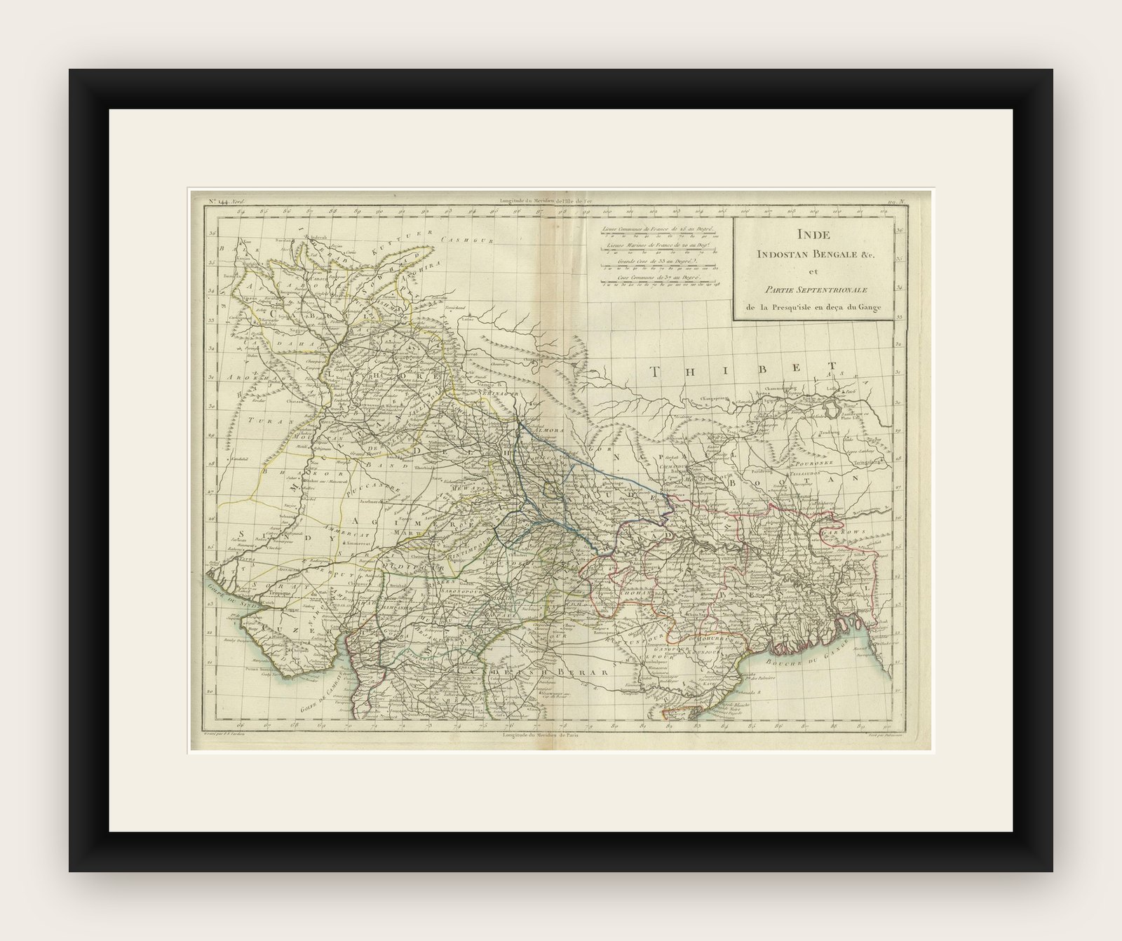
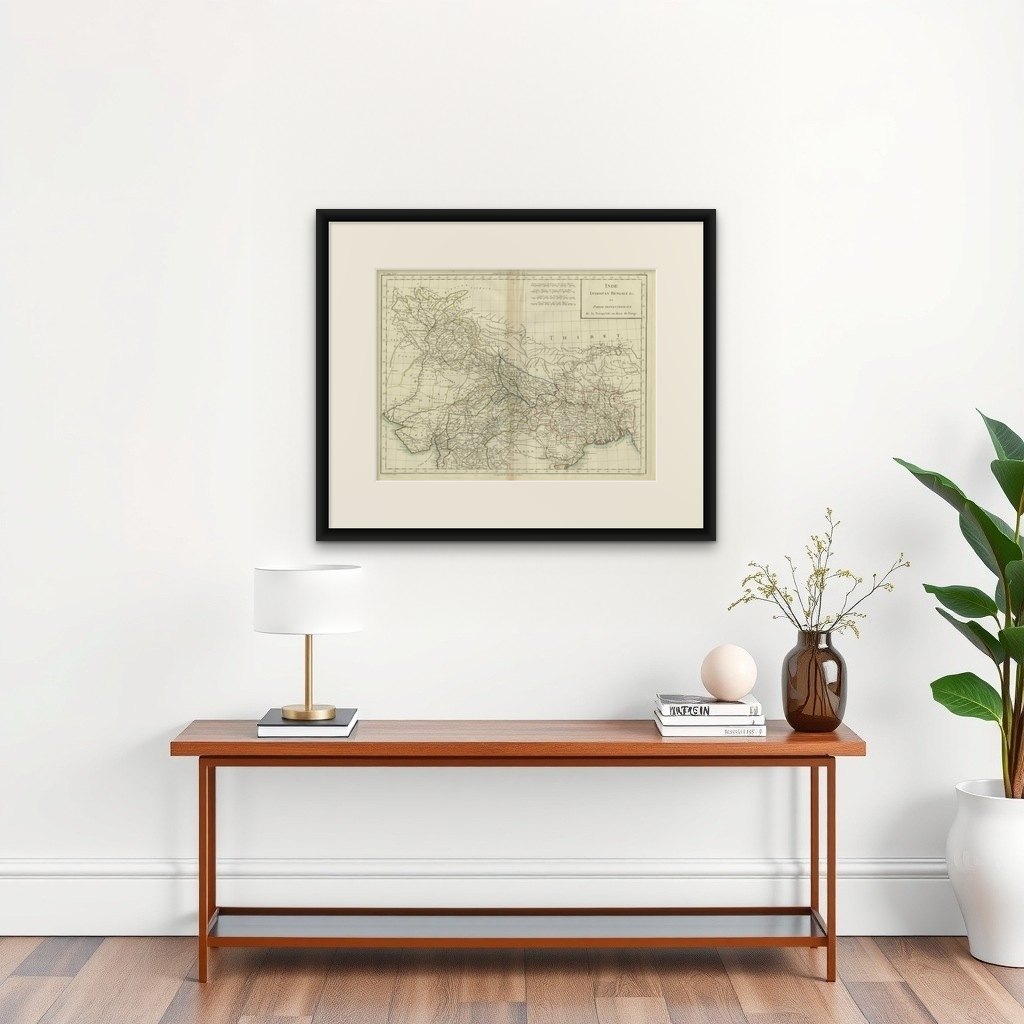
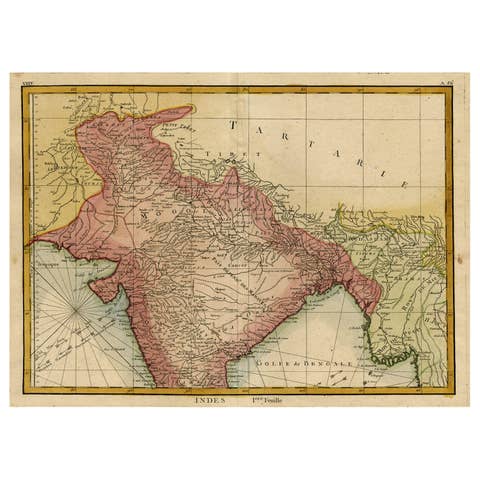
This is an original antique map titled "Inde, Indostan Bengale &c. et Partie Septentrionale de la Presqu'isle en deça du Gange," depicting the northern part of the Indian subcontinent including parts of modern-day India, Bangladesh, and surrounding areas. This map was created by Pierre Antoine Tardieu, a prominent French engraver and cartographer.
Map Details:
- Title: Inde, Indostan Bengale &c. et Partie Septentrionale de la Presqu'isle en deça du Gange
- Creator: Pierre Antoine Tardieu (1784-1869)
- Publication Date: Early 19th century
- Dimensions: Approximately 34.5 x 43.5 cm (13.5 x 17.25 inches)
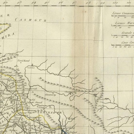
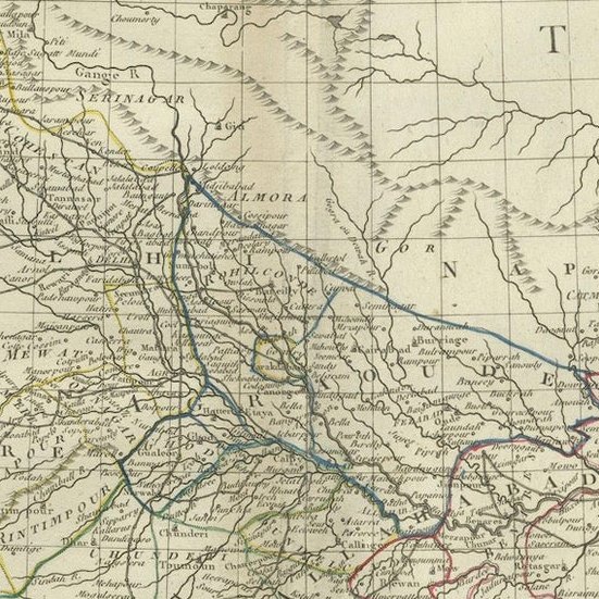
- Features: The map provides detailed geographical and political features, showing various regions, cities, rivers, and mountain ranges. The title cartouche is located in the upper right corner, and the outlines are hand-colored to distinguish different territories.
Condition Overview:
Historical Context
Around the year 1800, the Indian subcontinent was undergoing significant changes under British colonial influence.
Political Landscape
1. British East India Company:
- The British East India Company was expanding its control over the Indian subcontinent, establishing dominance in Bengal, Bihar, and parts of the southern and western regions.
- Major battles, such as the Battle of Plassey (1757) and the Battle of Buxar (1764), had already established British supremacy in key areas.
2. Local Kingdoms and Empires:
- The Mughal Empire, once the dominant power, was in decline, with its authority largely reduced to the area around Delhi.
- Various regional powers such as the Maratha Confederacy, the Sikh Empire, the Kingdom of Mysore, and the Nizam of Hyderabad were influential and often in conflict with the British or each other.
Socio-Economic Conditions
1. Agriculture:
- The economy was primarily agrarian, with agriculture being the main occupation. Key crops included rice, wheat, cotton, and indigo.
- The British East India Company’s policies had significant impacts on agriculture, often leading to exploitation and economic changes.
2. Trade and Commerce:
- The Indian subcontinent was a major hub for trade in spices, textiles, and other goods. Key cities like Calcutta (Kolkata), Bombay (Mumbai), and Madras (Chennai) were significant ports.
- Inland trade routes were also important, connecting various regions through rivers and roads.
Cultural and Social Aspects
1. Diversity:
- The region was characterized by immense cultural, linguistic, and religious diversity, including Hindus, Muslims, Sikhs, Christians, and others.
- This diversity was reflected in the social structure, festivals, languages, and traditions.
2. British Influence:
- British colonial rule brought significant changes, including the introduction of Western education, legal systems, and administrative practices.
- There was also cultural exchange, with British and Indian influences intermingling in various aspects of life.
Conflicts and Changes
1. Anglo-Mysore Wars:
- The British fought a series of wars with the Kingdom of Mysore under rulers like Hyder Ali and Tipu Sultan, leading to British dominance in southern India by the end of the 18th century.
2. Anglo-Maratha Wars:
- Conflicts with the Maratha Confederacy also marked this period, with the British eventually defeating the Marathas and consolidating control over large parts of India.
Summary
The northern part of the Indian subcontinent around 1800 was a region of great political, economic, and cultural significance, undergoing profound changes under British colonial influence. The map by Pierre Antoine Tardieu offers a detailed and historically valuable representation of this dynamic region.