Maps & PrintsBartele Gallery · Langweer
Home / Antique Maps / Asia / South Asia / India & Ceylon

India & Ceylon

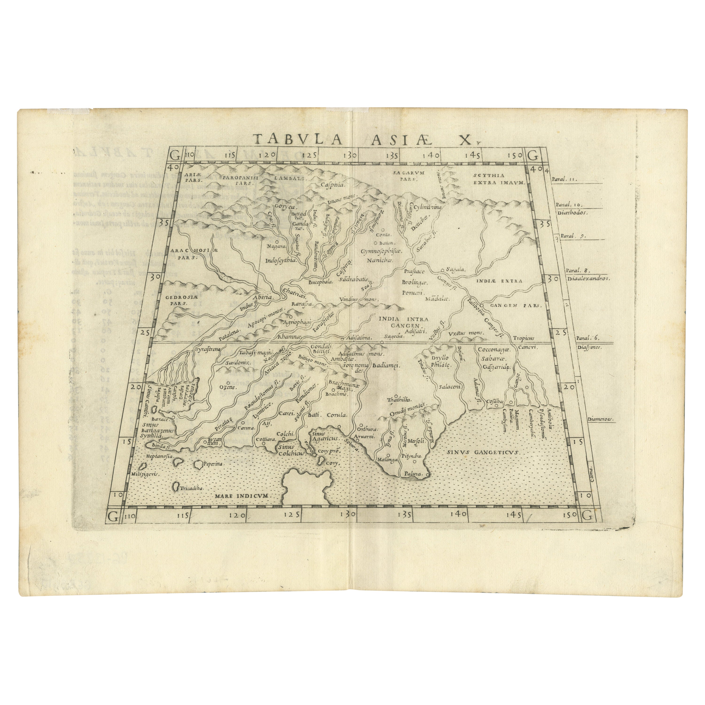
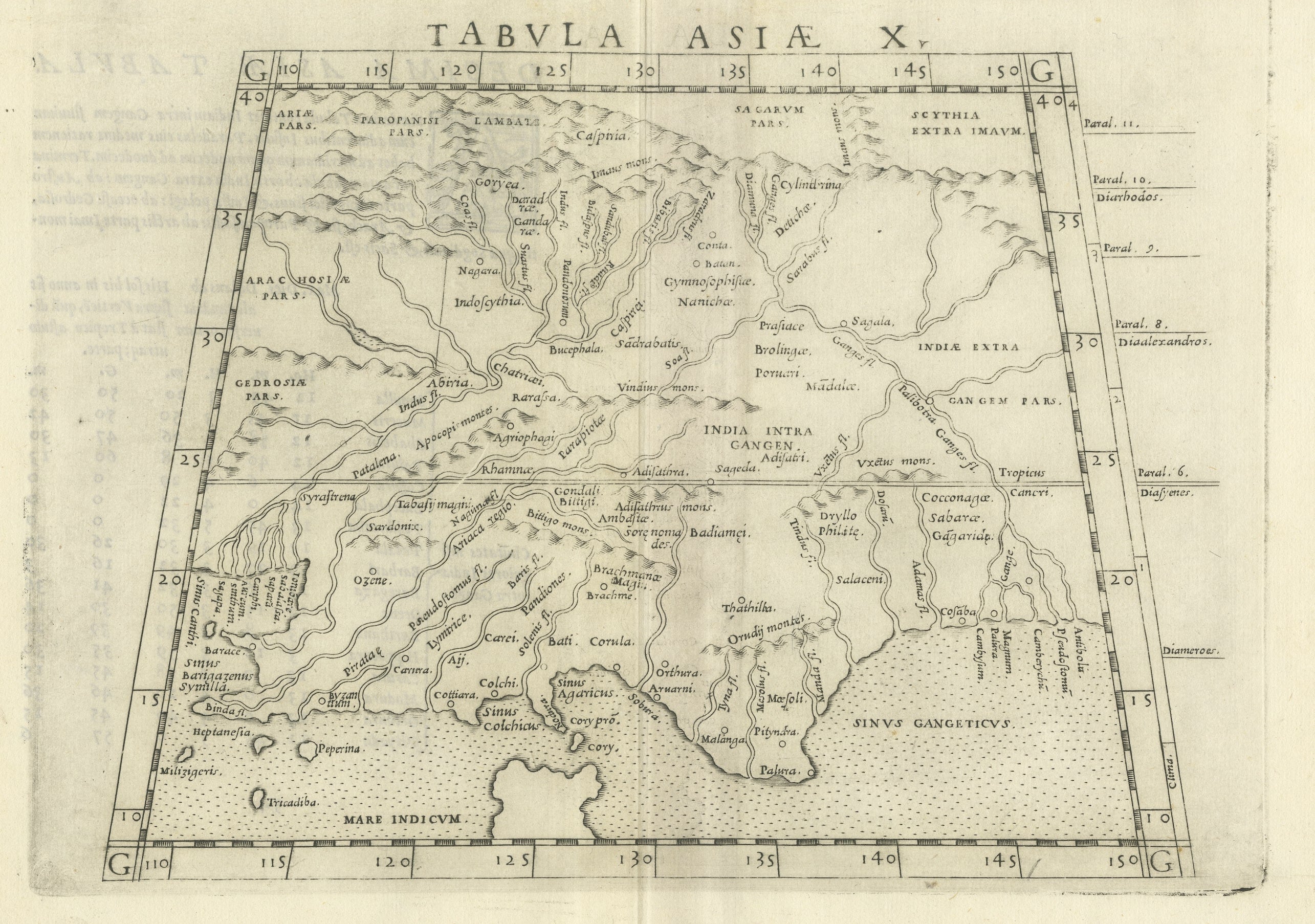
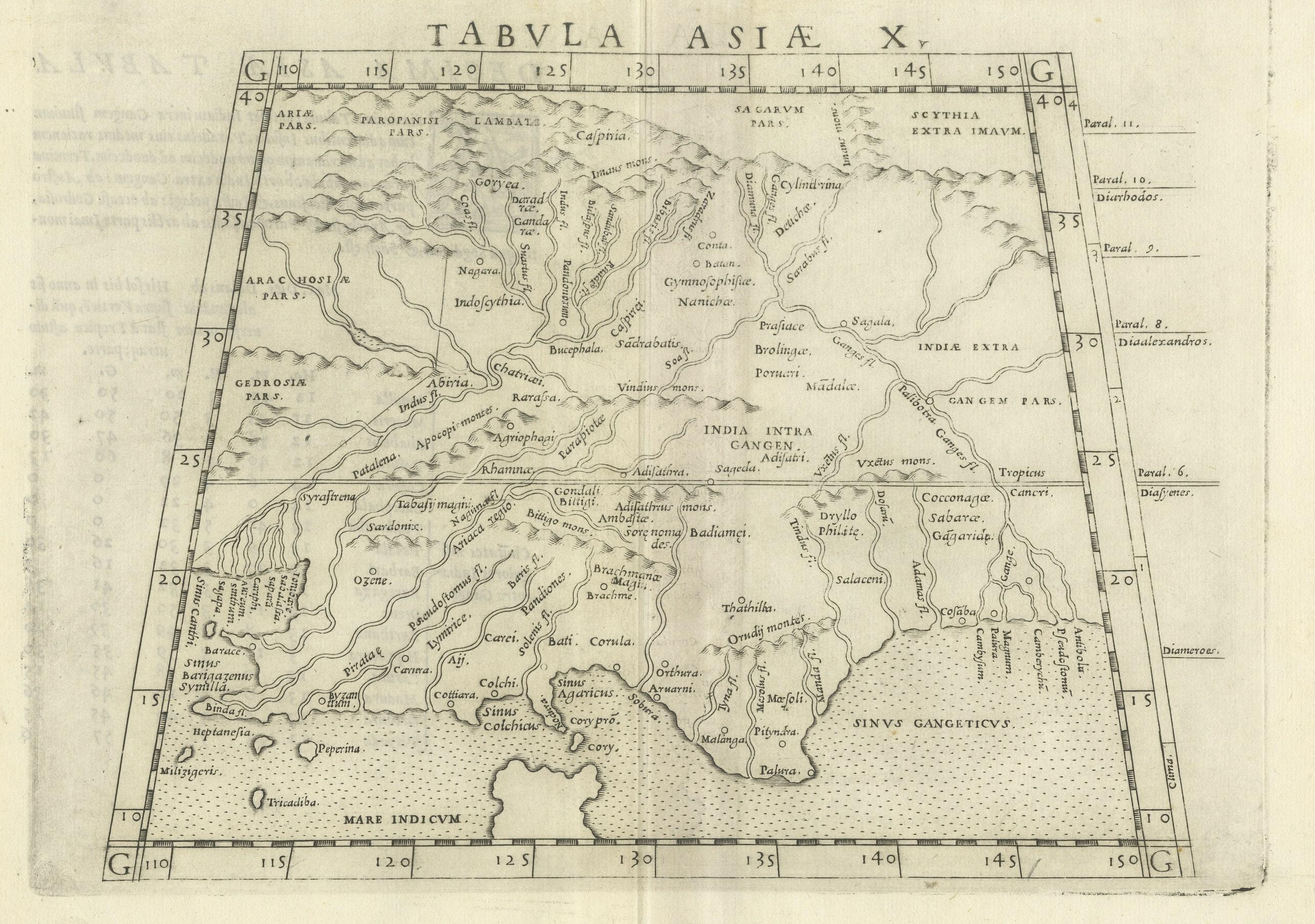
A Rare and Old Trapezoidal Projection of the Ganges and Himalaya Range in India

€ 640

One of a kind: this is the sheet in the photographs. Ships from Langweer, the Netherlands.

Sheet size
23 × 31.5 cm (9.1 × 12.4 in)
Condition
Good
Reference
BG-13337

Condition

Very good, given age. General age-related toning. Original folding line, minor wear and foxing. Latin text on verso. Please study images carefully.
About this sheet

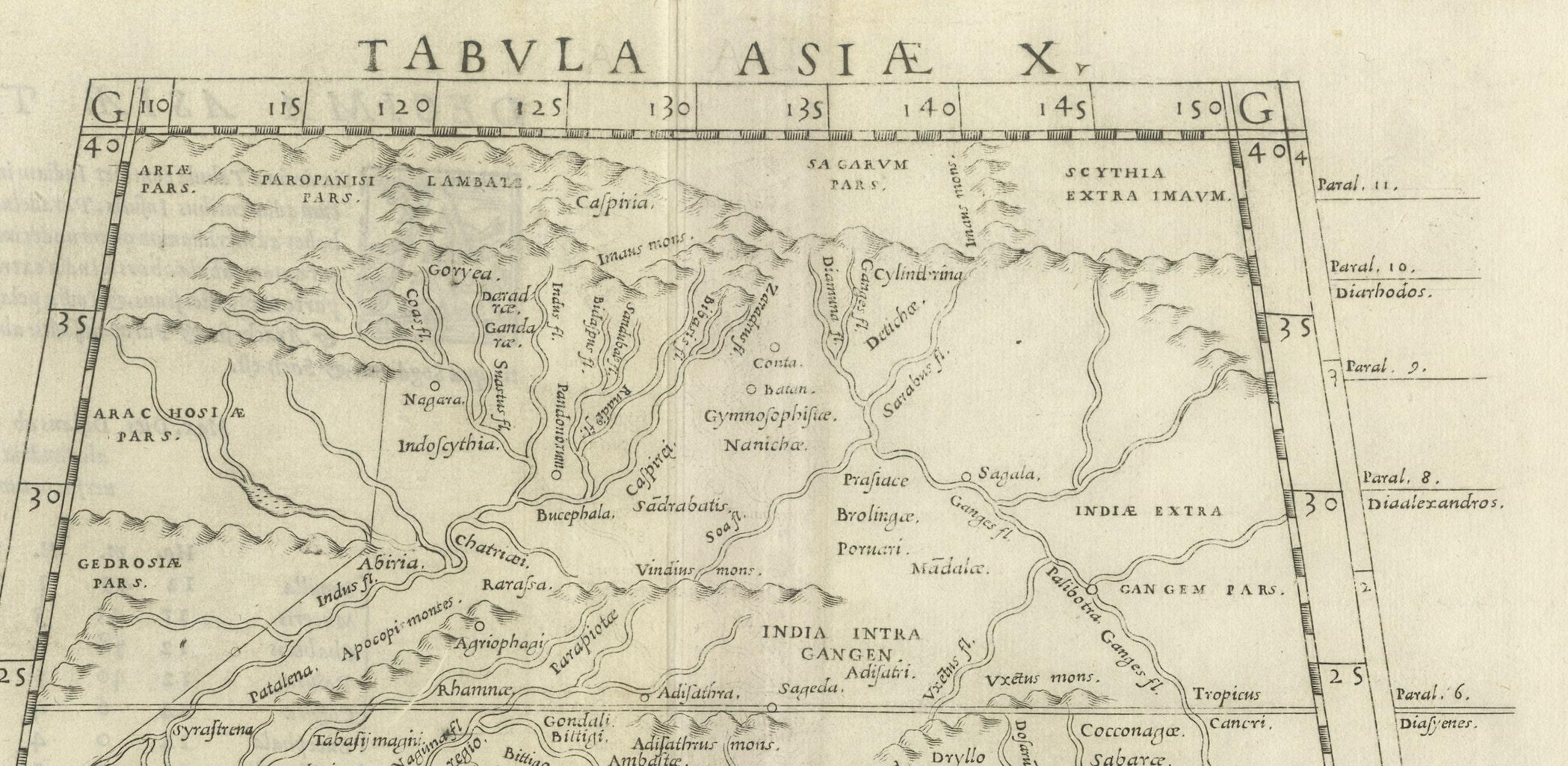
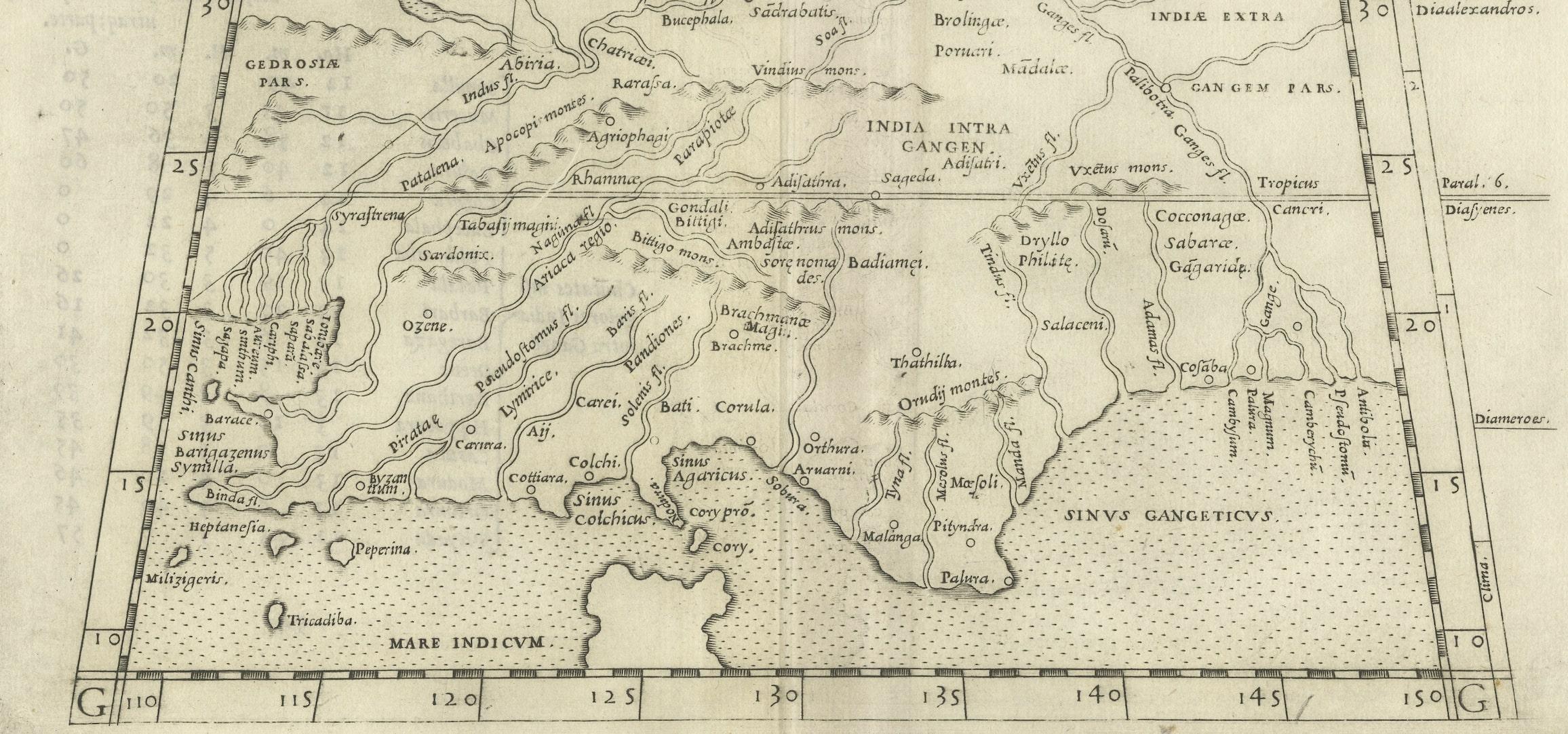
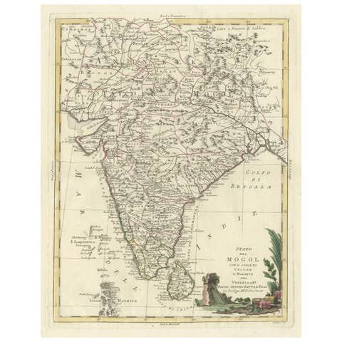
Antique map titled 'Tabula Asiae X'. This Ptolemaic map on a trapezoidal projection is centered on India with recognizable river systems, but completely lacking the sub-continental shape of the landmass. The top of a large unnamed Sri Lanka appears at bottom. Latin text on verso. This map originates from 'Geographia Cl. Ptolemaei Alexandrini (..)'.

More from India & Ceylon

Ask about this sheet

A Rare and Old Trapezoidal Projection of the Ganges and Himalaya Range in India
Ref. BG-13337 · € 640
We reply by email, usually within one working day.