Antique Maps of India & Ceylon
50 original sheets
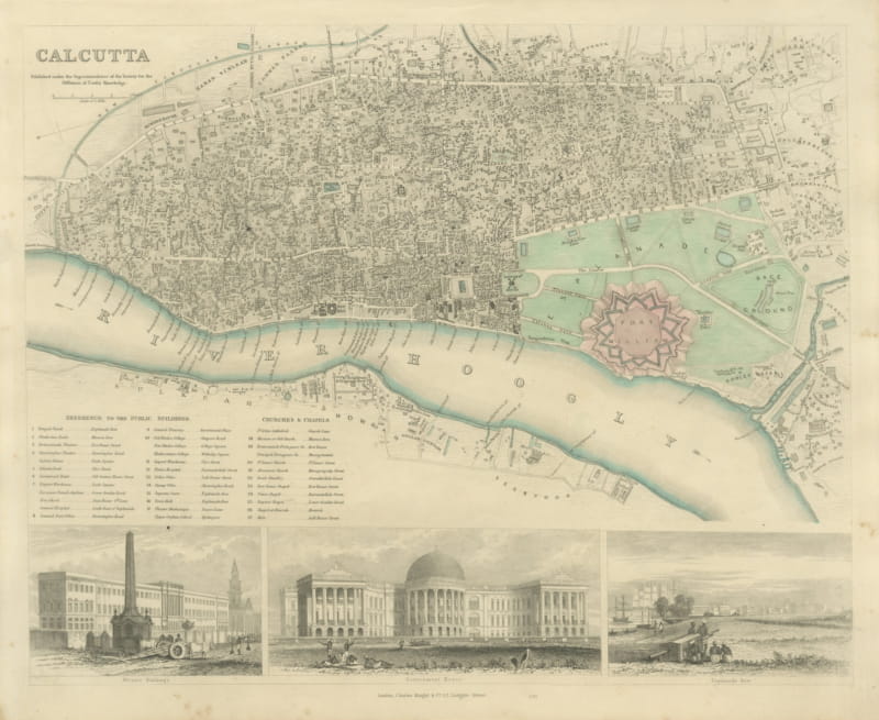
Antique Plan of Calcutta with Fort William and Three Views, 1847
1847 · € 840
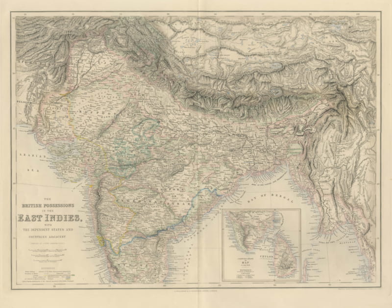
Antique Map of British India with Ceylon Continuation Inset, circa 1860
circa 1860 · € 465
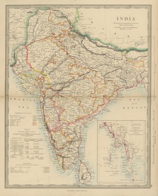
Antique Map of India with Railways Sanctioned by the East India Company, 1858
1858 · € 330
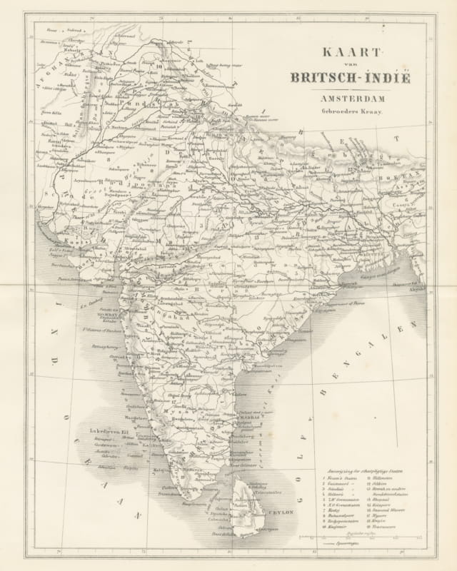
Map of British India with Princely States and Railways, Antique Map, 1859
1859 · € 430
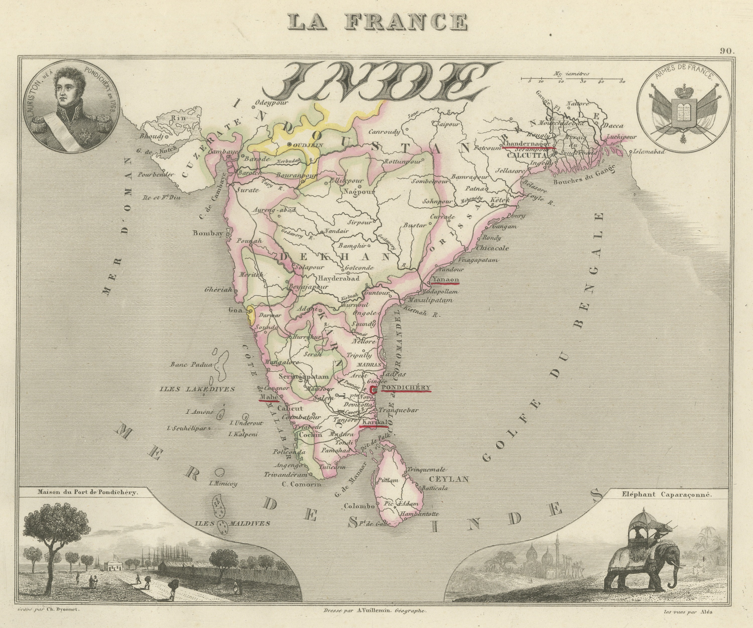
Antique Map of French India, Pondichery and Chandernagor, circa 1860
circa 1860 · € 320
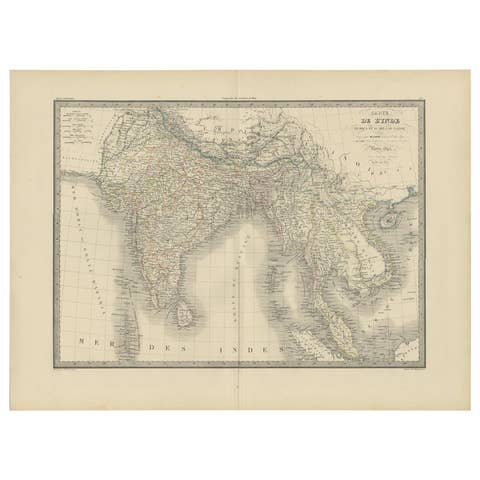
Antique Map of India and Ceylon by Pierre M. Lapie, Paper, 1842
1842 · € 380
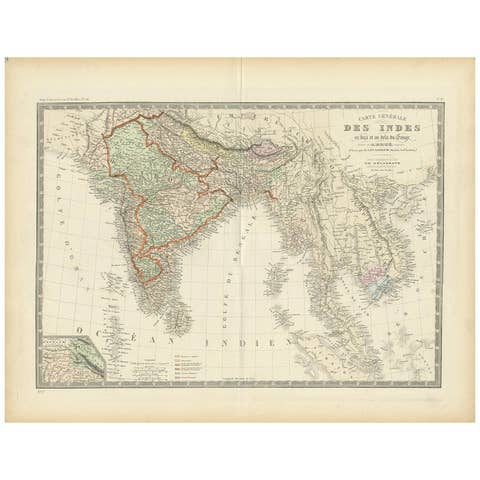
Authentic Antique Map of India and Ceylon, 1875
1875 · € 390
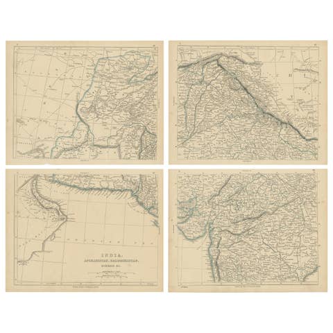
Antique Map of India, Afghanistan, Balochistan and surroundings by Lowry, '1852'
1852 · € 250
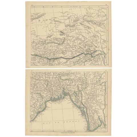
Antique Map of the Region of the Bay of Bengal by Lowry, 1852
1852 · € 150
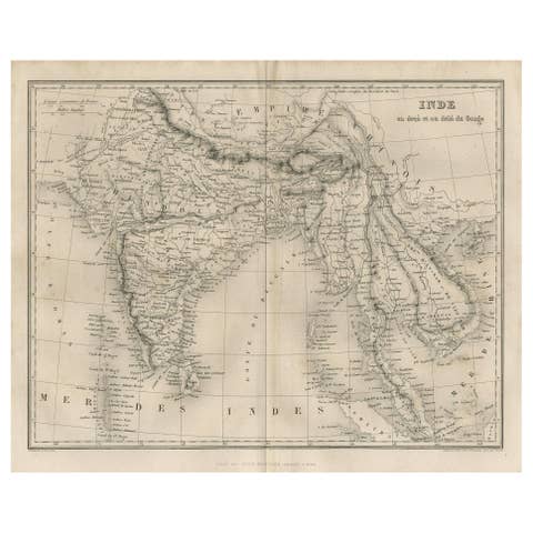
Antique Map of India and Southeast Asia by Balbi '1847'
1847 · € 150
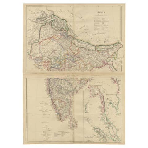
Vintage Cartographic Collection Set of India Explored - W. G. Blackie's 1859
1859 · € 400
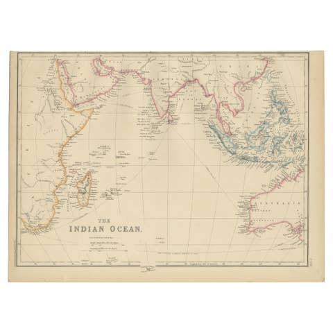
Antique Map of the Indian Ocean by W. G. Blackie, 1859
1859 · € 175
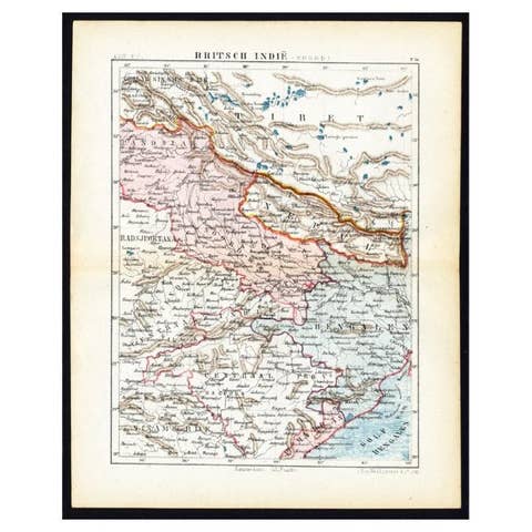
Antique Map of Northern India 'British Indies', C.1880
1880 · € 65
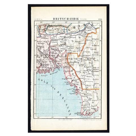
Antique Map of Eastern India by Kuyper, C.1880
1880 · € 110
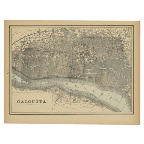
Rare Antique Map of Calcutta 'Kolkata' in India, 1893
1893 · € 260
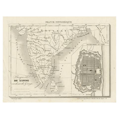
French Antique Map of India with an Inset of Pondicherry, 1835
1835 · € 160
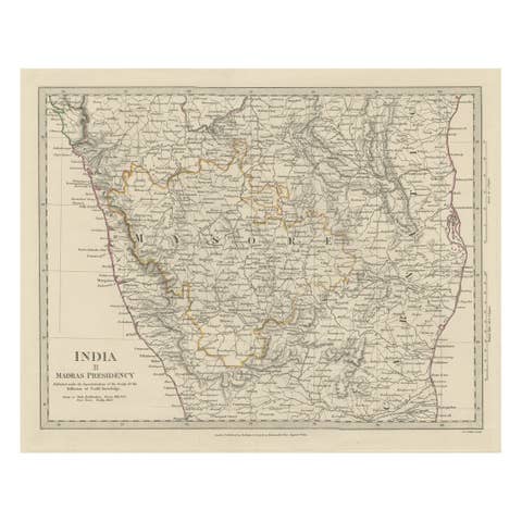
Old Steel Engraved Map of the Western Part of the Madras Presidency, 1831
1831 · € 290
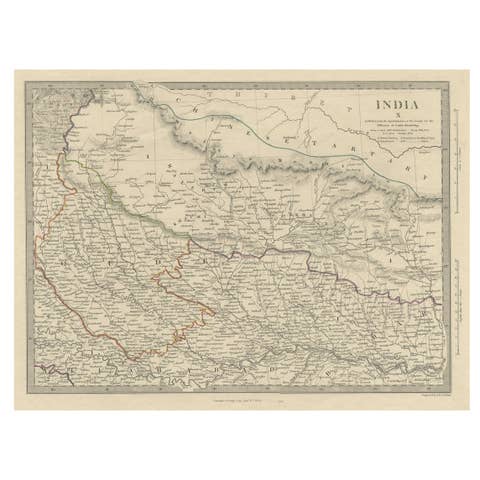
Original Old Map Northeast India, incl Part of Himalayas and China, 1853
1853 · € 190
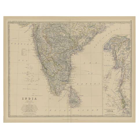
Old Map of Southern India and Ceylon 'Sri Lanka', 1882
1882 · € 290
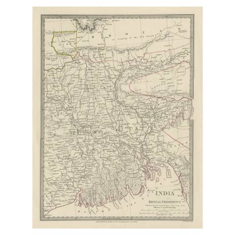
Steel Engraved Map of Part of the Bengal Presidency 'India & Bangladesh', 1831
1831 · € 370
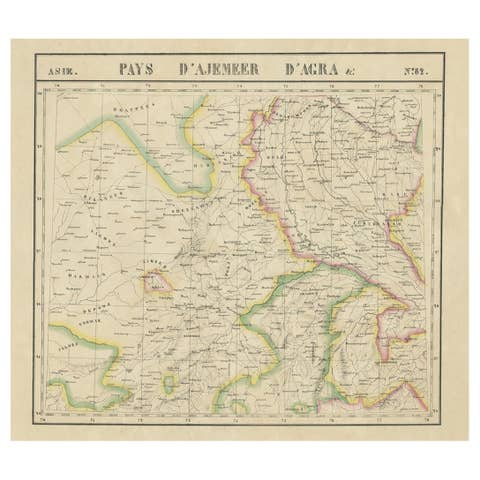
Large and Rare Antique Map of Northern India in Original Coloring, c.1825
1825 · € 710
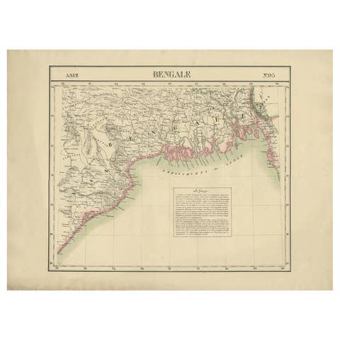
Detailed Orginal Antique Map of Bengal, India, c.1825
1825 · € 420
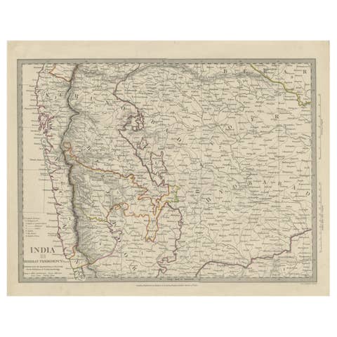
Antique Map of Part of the Bombay Presidency in India, 1831
1831 · € 290
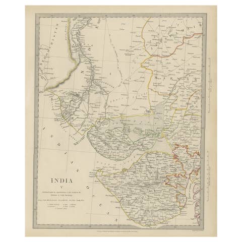
Antique Map of the Region of Gujarat and Cutch in India, 1833
1833 · € 290
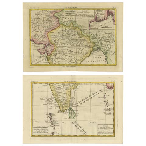
18th Century Cartographic Depiction of Upper India and Ceylon, 1835
1835 · € 700
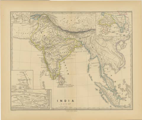
Ancient Cartography of the Indian Subcontinent, Published in 1880
1880 · € 370
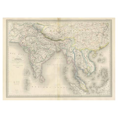
Antique Map of India & Southeast Asia – Chevalier Engraving, Malte-Brun, 1853
1853 · € 880
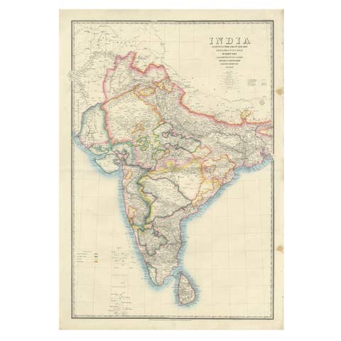
Large Antique Map of India – Post Roads and Dak Stations by James Wyld, c.1855
1855 · € 1 300
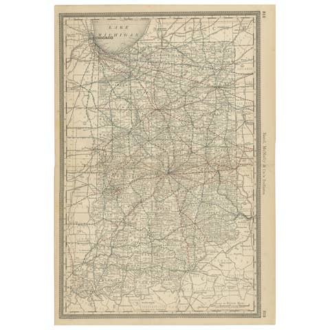
Antique Map of Indiana – The Hoosier State with Railroads & Counties, 1888
1888 · € 460
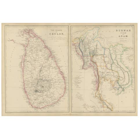
Ceylon, Burmah, Siam and Anam, Antique Map of South & Southeast Asia, 1860
1860 · € 350
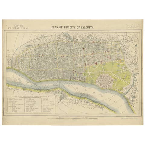
Antique Plan of the City of Calcutta 'India' by Letts, 1883
1883 · € 341
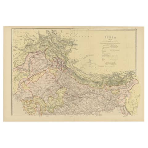
Antique Map of Northern India by Blackie & Son, 1860
1860 · € 220

Antique Map of Northern India by Johnston, 1882
1882 · € 135
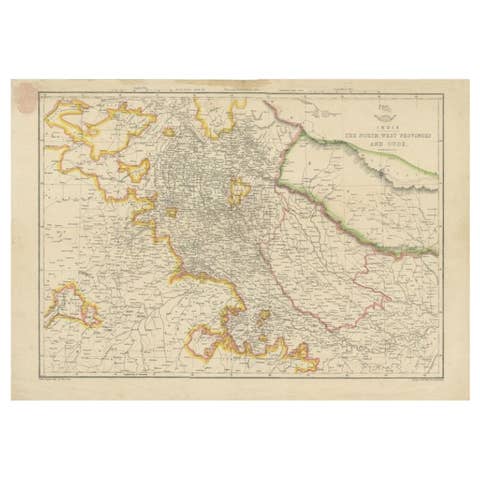
Antique Map of Northwestern India by Weller, 1857
1857 · € 170
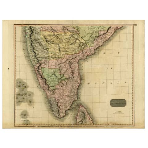
Antique Map of Southern India and Ceylon by Thomson, 1816
1816 · € 175

Original Antique Map of Part of the Bahar Region (India), 1834
1834 · € 290
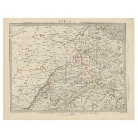
Antique Map of the Region of Delhi in India, 1833
1833 · € 400
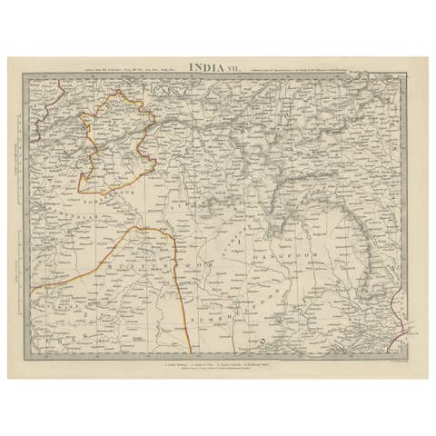
Antique Map of the Region of Berar and Rewah in India, 1832
1832 · € 290
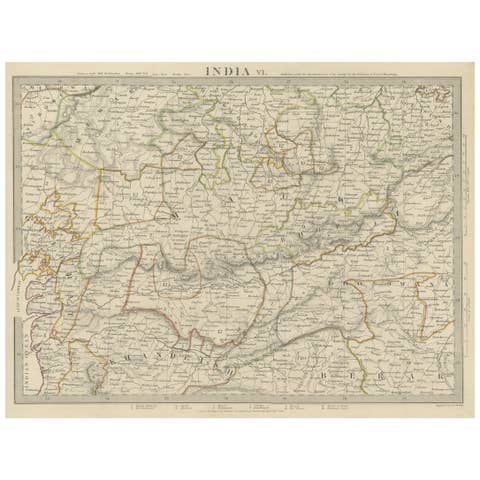
Detailed Antique Map of the Region of Malwa in India, 1833
1833 · € 290
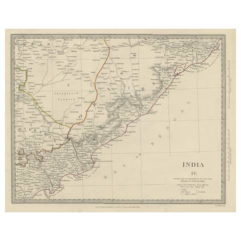
Interesting Detailed Antique Map of Eastern India, 1832
1832 · € 290
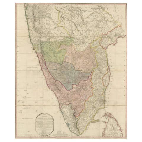
Original Antique Map of the Peninsula of India with Part of Ceylon by Wyld, 1844
1844 · € 1 200
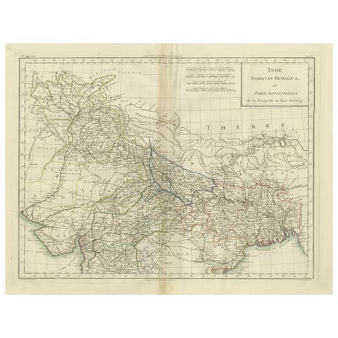
Antique Map of Northern India, Bengal, and Surrounding Regions by Tardieu, 1802
1802 · € 440
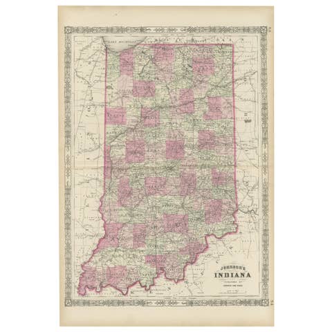
Decorative 1864 Civil War Era Map of Indiana with Lake Michigan Detail
1864 · € 340
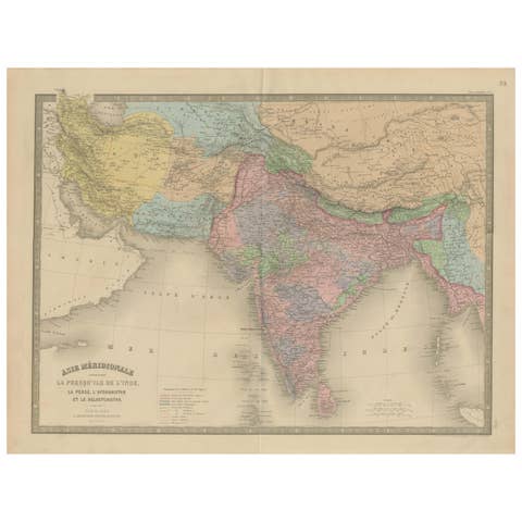
Antique Map of India, Persia & Afghanistan – Detailed Continental Engraving 1864
1864 · € 390
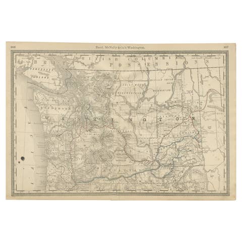
Washington Map 1888 – Antique Railroads, Indian Reservations & Counties
1888 · € 480
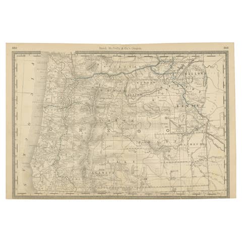
1888 Antique Map of Oregon – Railroads, Counties & Native Indian Reservations
1888 · € 480
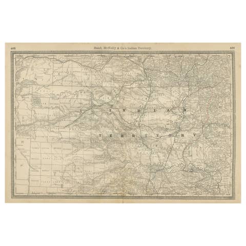
Indian Territory Map 1888 – Rand McNally Antique Lithograph
1888 · € 480
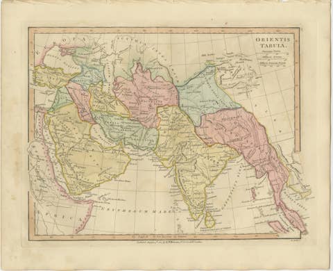
Antique Map of the Ancient Middle East & India – Wilkinson Orientis Tabula, 1807
1807 · € 329