Antique Maps of South America
152 original sheets
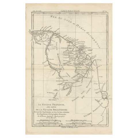
Antique Map of South America Depicting Guayana, c.1780
1780 · € 350
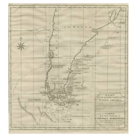
Antique Map of Tracks of Anson's Ships around South America & Cape Horn, 1749
1749 · € 650
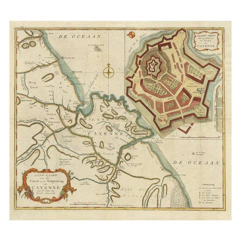
Striking Antique Map of Cayenne in French Guyana, South America, ca.1760
1760 · € 1 350

Rare Antique Map of the Rio De La Plata, Buenos Ayres, Brazil, ca.1760
1760 · € 475
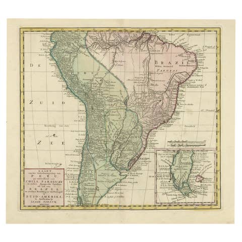
Attractive Antique Hand-Colored Map of South America, ca.1765
1765 · € 1 250
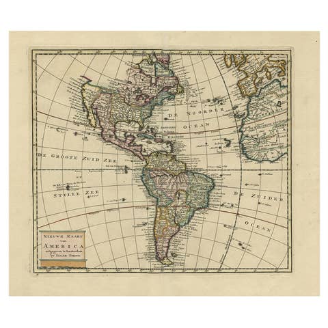
Antique Hand-Colored Map of North and South America, ca.1765
1765 · € 1 250
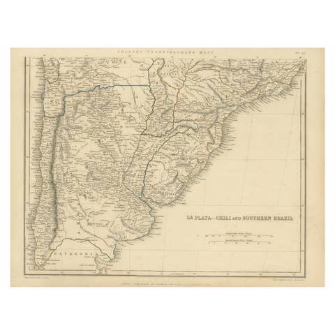
Antique Map of La Plata, Chili and Southern Brazil, 1849
1849 · € 350
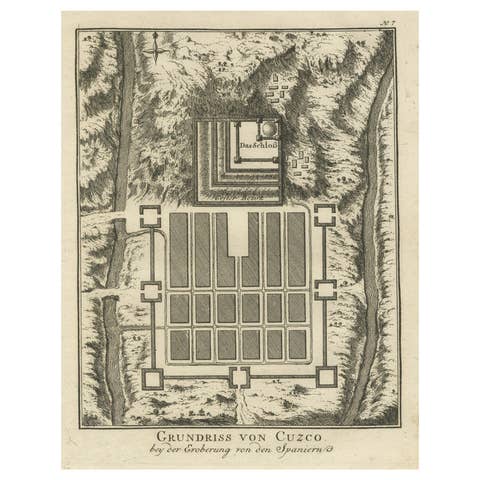
Old Print of the Spanish Conquest of Cusco or Cuzco, Capital of the Incas, c1750
€ 290
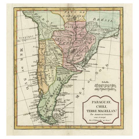
Decorative Antique Map of the Southern Part of South America, 1806
1806 · € 550
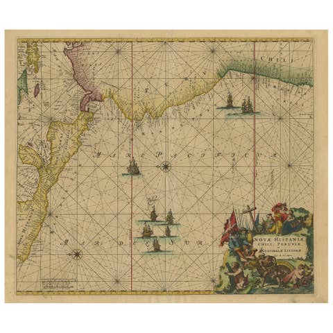
Sea Chart of Central America and the Northwest Coast of South America, ca.1745
1745 · € 2 450
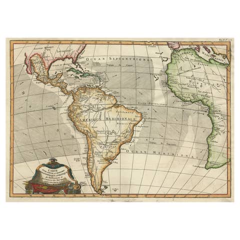
Antique Map of South American, The West Indies & Most of Africa, Ca.1775
1775 · € 760
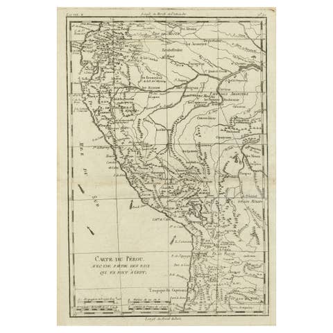
Map of the Western Coast of South America from Ecuador into Chili, ca.1780
1780 · € 340
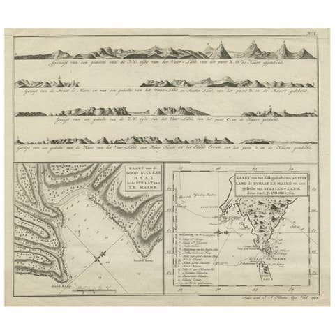
Antique Map of the Strait of Le Maire Between Terra Fuego & Staten Island, 1803
1803 · € 630
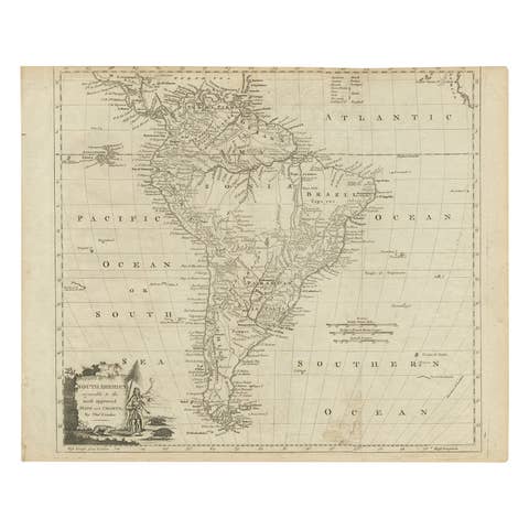
Rare Map of South America of Chili, La Plata, Paraguay, Brazil, Peru, c.1775
1775 · € 540
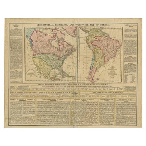
Antique Map of North and South America by Walker, 1828
1828 · € 219
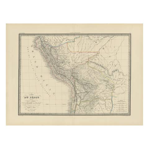
Antique Map of Peru, Ecuador and Bolivia by Lapie, 1842
1842 · € 230
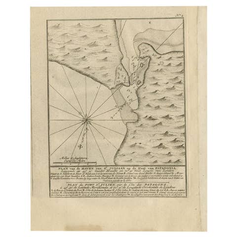
Antique Map of Puerto San Julian in Patagonia, 1749
1749 · € 240
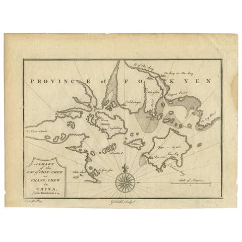
Antique Map of the Bay of Cordes and Surroundings by Hawkesworth, 1774
1774 · € 112
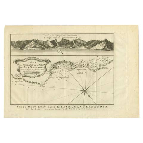
Antique Map of the Coast of Juan Fernandez by Van Schley, 1757
1757 · € 143
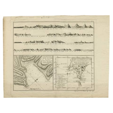
Antique Map of the Strait of Le Maire by Cook, 1803
1803 · € 630
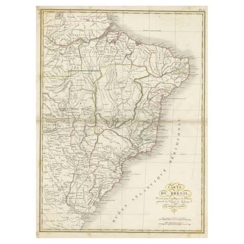
Antique Map of Brazil Extending South to the Mouth of the Rio de la Plata
€ 240
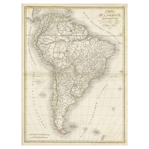
Scarce Antique Map of South America
€ 340
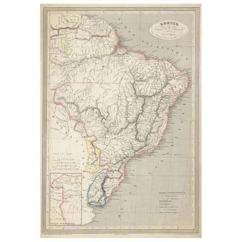
Antique Map of of Brazil, Paraguay and Uruguay
€ 340
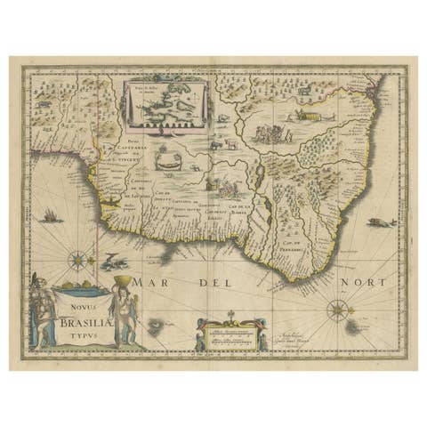
Antique Engraving of Blaeu's first Map of Brazil, Circa 1640
1640 · € 1 400
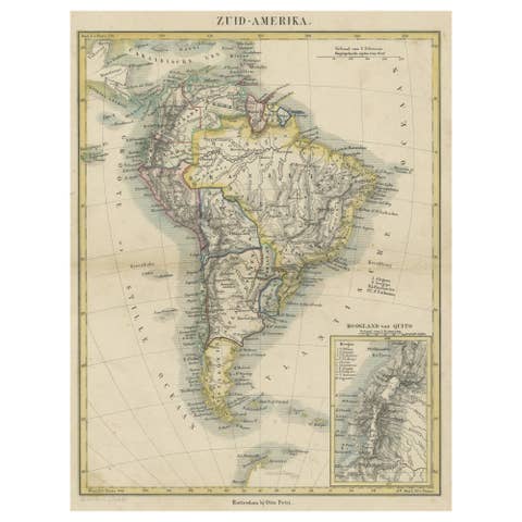
Antique Map of South America, inset of the Quito Highlands, Hand-Colored - 1870
1870 · € 124
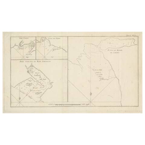
Antique Map of Cordes Bay and Surroundings
€ 260
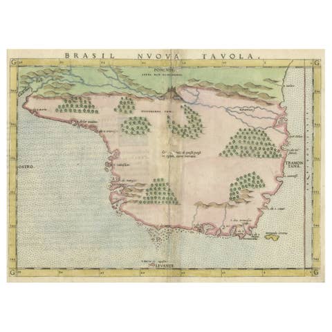
Original Antique Map of Brasil, Published in the 16th Century, 1561
1561 · € 550
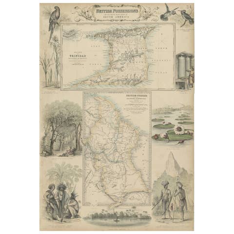
British Possessions on the North West Coast of South America, 1860
1860 · € 286
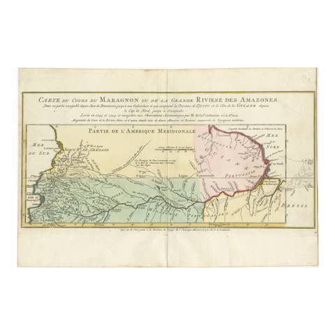
Map of the Amazon River's Course and Surrounding Regions (1743-1744)
1743 · € 390

1684 Mallet Map of Amazon River & Kingdom of Amazons – Hand Colored, Miniature
1684 · € 440
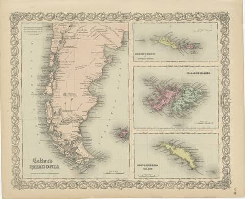
1855 Colton's Map of Patagonia with South Atlantic Islands Insets
1855 · € 200

Ornate 1850s Map of South America: A Masterpiece of Exploration & Art by Rapkin
€ 260
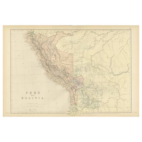
Antique 1882 Antique Map of Peru and Bolivia: Andes Mountains and Amazon Rivers
1882 · € 250
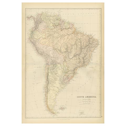
1882 Detailed Map of South America showing Political and Geographical Features
1882 · € 250
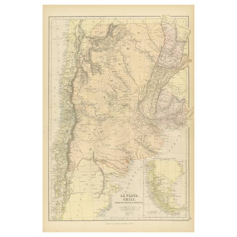
1882 Map of Argentina, La Plata, Chile, Paraguay, Uruguay, and Patagonia
1882 · € 250
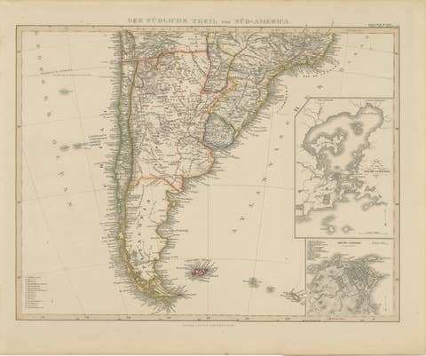
1857 Map of Southern South America – Argentina, Chile, Rio de Janeiro
1857 · € 390
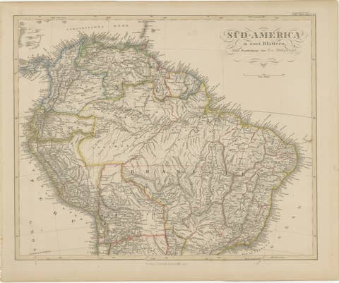
1857 Map of Northern South America – Brazil, Colombia, Peru by Stülpnagel
1857 · € 390

Historic 1858 Map of South America – Pre-Border Consolidation
1858 · € 430
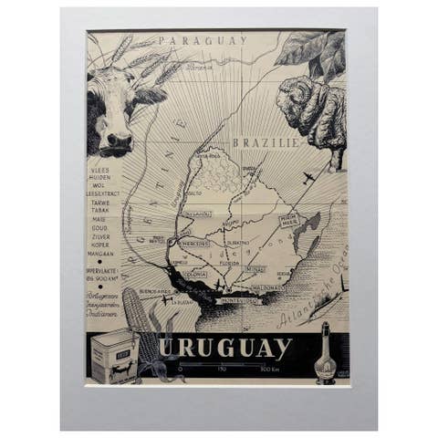
Original 1948 Map of Uruguay by Charles Burki – Art Deco Design
1948 · € 550
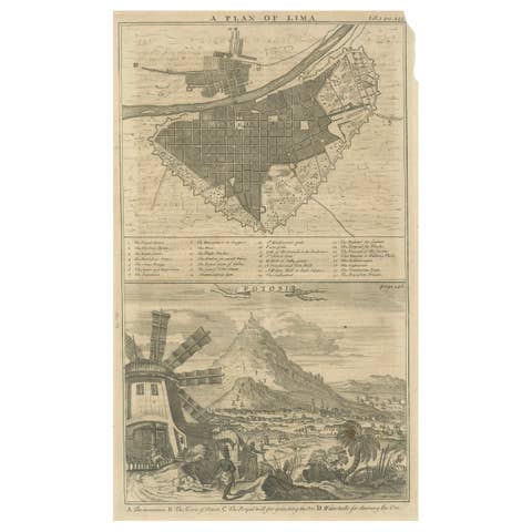
Plan of Lima and View of Potosí – Peru & Bolivia City Plan and Mining View, 1750
1750 · € 340
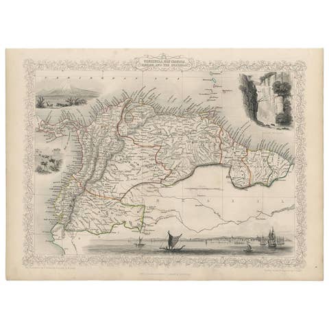
Antique Map of the Northern Part of South America by J. Tallis, circa 1851
1851 · € 280
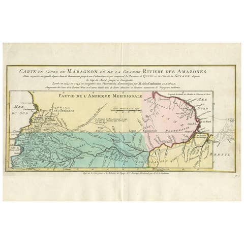
Antique Map of the Course of the Amazon River by E. Van Harrevelt, 1773
1773 · € 316
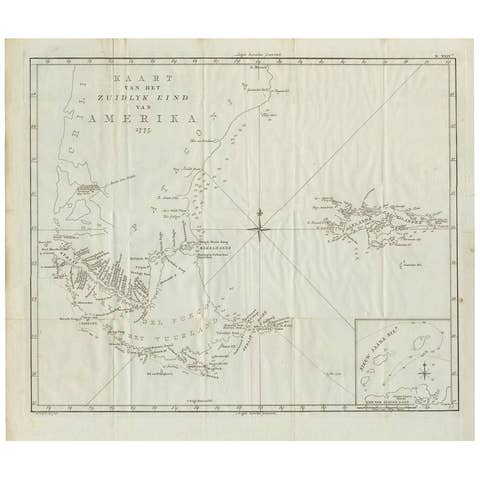
Antique Map of South America by J. Cook (1775)
1775 · € 590
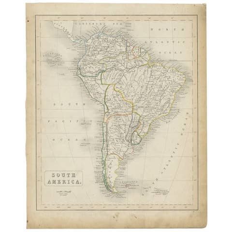
Antique Map of South America, c.1840
1840 · € 73

Antique Map of South America by Buchon, 1825
1825 · € 138
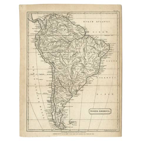
Antique Map of South America by Cadell & Davies, 1803
1803 · € 120

Interesting Original Antique Map of South America, 1822
1822 · € 220
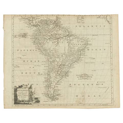
Antique Map of South America by Conder, c.1775
1775 · € 347