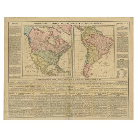
Interesting Original Antique Map of South America, 1822
€ 220
One of a kind: this is the sheet in the photographs. Ships from Langweer, the Netherlands.
Date
1822
Sheet size
45 × 56.5 cm (17.7 × 22.2 in)
Condition
Good
Reference
BG-00662
Condition
general age-related toning. Stains in upper part of the map, please study image carefully.
About this sheet
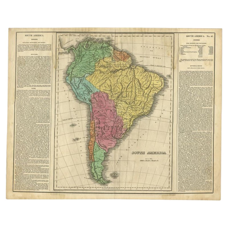
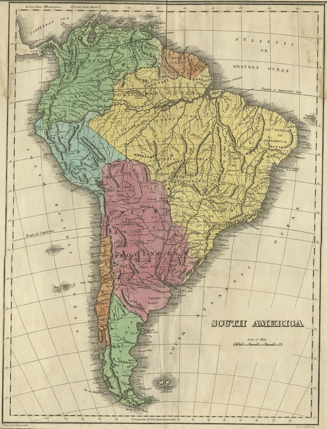
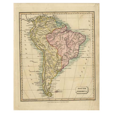
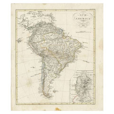
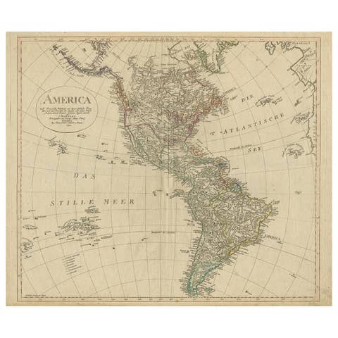
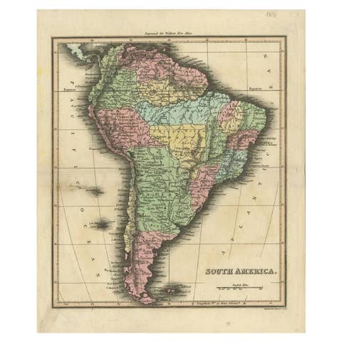
Antique map titled 'South America'.
Map of South America with attractive topography, surrounded on three sides by text on the history, geography, and economy of the continent. Shows a huge La Plata province that includes much of Peru and all of present-day Bolivia and Argentina north of Patagonia. This map originates from 'A Complete Historical, Chronological, And Geographical American Atlas, Being A Guide To The History Of North And South America, And The West Indies ... To The Year 1822'. Artists and Engravers: Author: H.C. Carey.
Artist: Author: H.C. Carey.
Condition: Good, general age-related toning. Stains in upper part of the map, please study image carefully. Date: 1822 Overall size: 56.5 x 45 cm. Image size: 0.001 x 31 x 42 cm.
Antique prints have long been appreciated for both their aesthetic and investment value. They were the product of engraved, etched or lithographed plates. These plates were handmade out of wood or metal, which required an incredible level of skill, patience and craftsmanship. Whether you have a house with Victorian furniture or more contemporary decor an old engraving can enhance your living space. We offer a wide range of authentic antique prints for any budget.