Maps & PrintsBartele Gallery · Langweer
Home / Antique Maps / America / South America

South America · 18th century

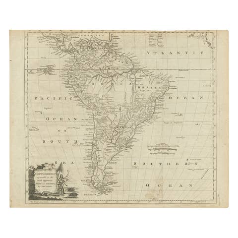
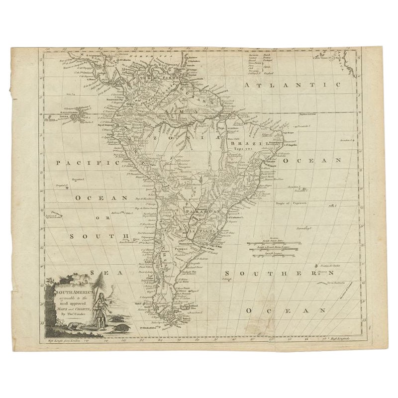
Antique Map of South America by Conder, c.1775

€ 347

Original antique · The actual sheet photographed · Certificate of authenticity on request · Sold unframed · Worldwide shipping from € 15 (rates)

Date
1775
Mapmaker / artist
Thomas Conder (1747 - June 1831) was an English map engraver and bookseller active in London during the late 17th and early 18th centuries
Sheet size
35 × 43 cm (13.8 × 16.9 in)
Condition
Good
Reference
BG-00611

About this sheet

Antique map titled 'South America agreeable to the most approved maps and charts'. Rare map of South America depicting Chili, La Plata, Paraguay, Brazil, Peru, the Amazon and surroundings. Artists and Engravers: Thomas Conder (1747 - June 1831) was an English map engraver and bookseller active in London during the late 17th and early 18th centuries.

Condition: Good general age-related toning. Few marginal tears, please study image carefully.
Date: c.1775
Overall size: 43 x 35 cm.
Image size: 0.001 x 37.5 x 33.5 cm.

They were the product of engraved, etched or lithographed plates. These plates were handmade out of wood or metal, which required an incredible level of skill, patience and craftsmanship. Whether you have a house with Victorian furniture or more contemporary decor an old engraving can enhance your living space. We offer a wide range of authentic antique prints for any budget.

More from South America

Ask about this sheet

Antique Map of South America by Conder, c.1775
1775 · Ref. BG-00611 · € 347
We reply by email, usually within one working day.