Historic 1858 Map of South America – Pre-Border Consolidation
€ 430
Original antique · The actual sheet photographed · Certificate of authenticity on request · Sold unframed · Worldwide shipping from € 15 (rates)
Date
1858
Sheet size
37.5 × 45.4 cm (14.8 × 17.9 in)
Condition
Good
Reference
BG-05552-52
What the condition grades mean
Excellent
Bright and clean, with no faults worth mentioning.
Very good
Only light signs of age, such as faint toning.
Good
Normal signs of age for a sheet of this period: toning, some foxing, small marks or neat old repairs.
Fair
Clear faults such as staining, tears or repairs, priced to match.
Every fault we see is written in the condition note, and the whole sheet is shown uncropped in the photos.
Condition
Very good overall condition. Minor toning and faint spotting in the lower margin, not affecting the printed area. Original hand-coloring remains fresh. No tears or repairs. Please study the image for further details.
About this sheet
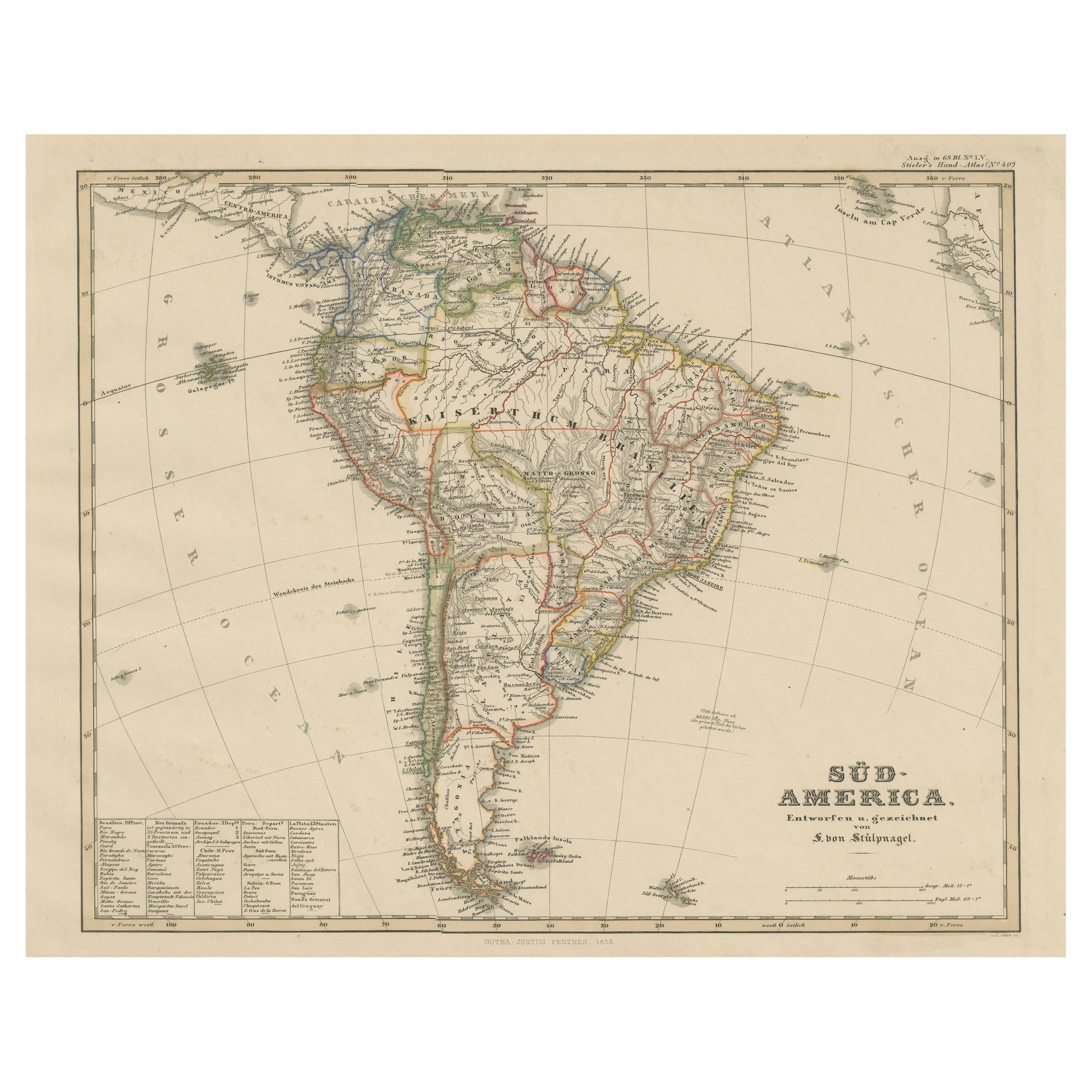
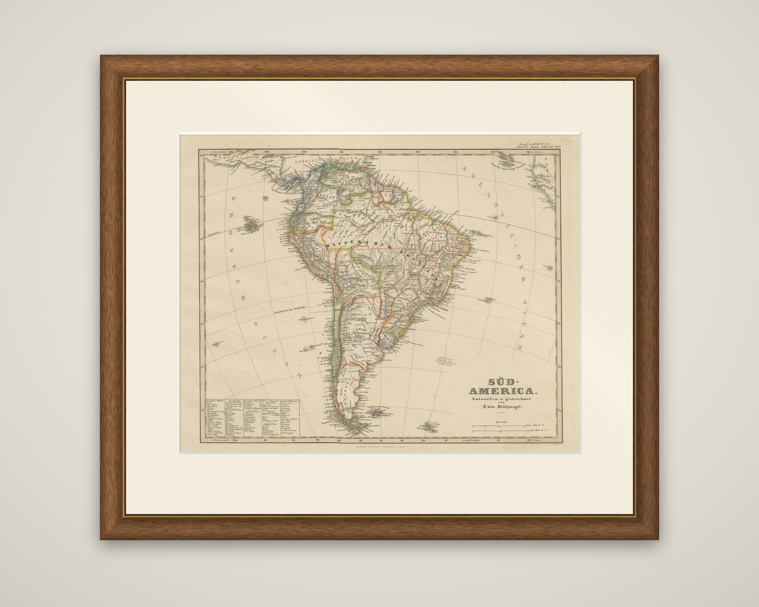
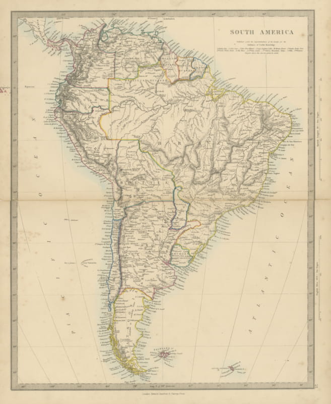
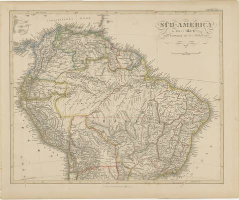
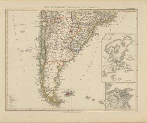
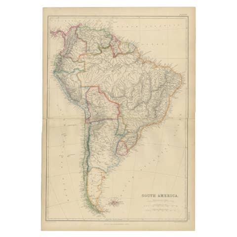
South America in the mid-1850s, an original copper engraving with hand-colored outlines, titled "Süd-America. Entworfen u. gezeichnet von F. von Stülpnagel" and published in Gotha by Justus Perthes for Adolf Stieler's Hand-Atlas. The field year is 1858; the imprint at the foot is dated slightly earlier.
The sheet shows the whole continent on a single map, with the political divisions picked out in colored outline: the Empire of Brazil ("Kaiserthum Brasilia"), Argentina, Bolivia, Chile, Peru, Colombia (then New Granada), Venezuela and the Guianas. The Andes run down the western side, and the Amazon, Orinoco and Paraná river systems cross the interior. Coastal towns and ports are lettered around the shore, the Strait of Magellan and Tierra del Fuego close the south, and the Galapagos, the Falklands and the Cape Verde Islands appear in the surrounding ocean. The Tropic of Capricorn is marked across the sheet. A key at the lower left lists the states of the continent with their details, the title block stands at the lower right, and a scale of miles is given below it.
Maps of this kind show a continent whose borders were still being settled a generation after independence.