Maps & PrintsBartele Gallery · Langweer
Home / Antique Maps / America / South America

South America · 18th century

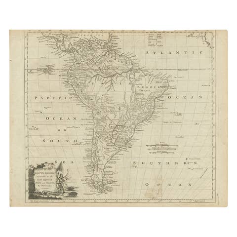
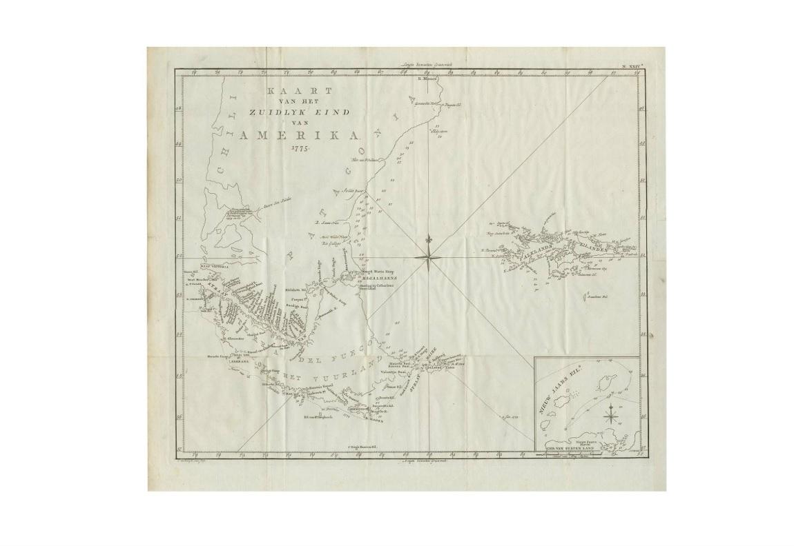
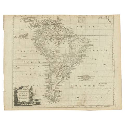
Antique Map of South America by J. Cook (1775)

€ 590

One of a kind: this is the sheet in the photographs. Ships from Langweer, the Netherlands.

Date
1775
Sheet size
47 × 53.5 cm (18.5 × 21.1 in)
Condition
Good
Reference
BG-06847

Condition

Please study image carefully.
About this sheet

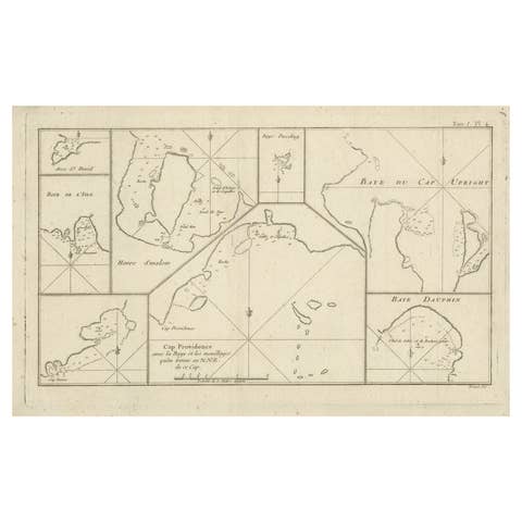
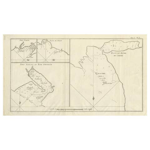
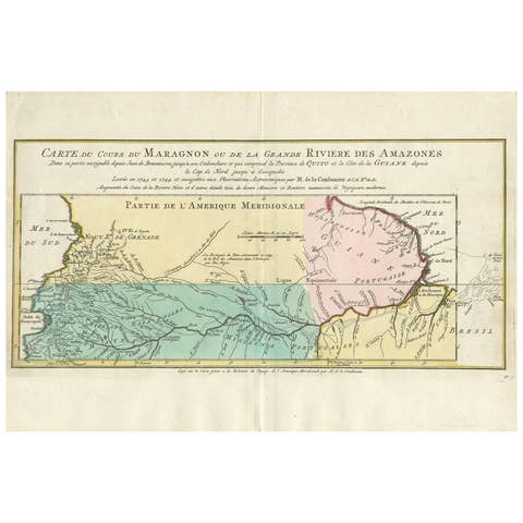
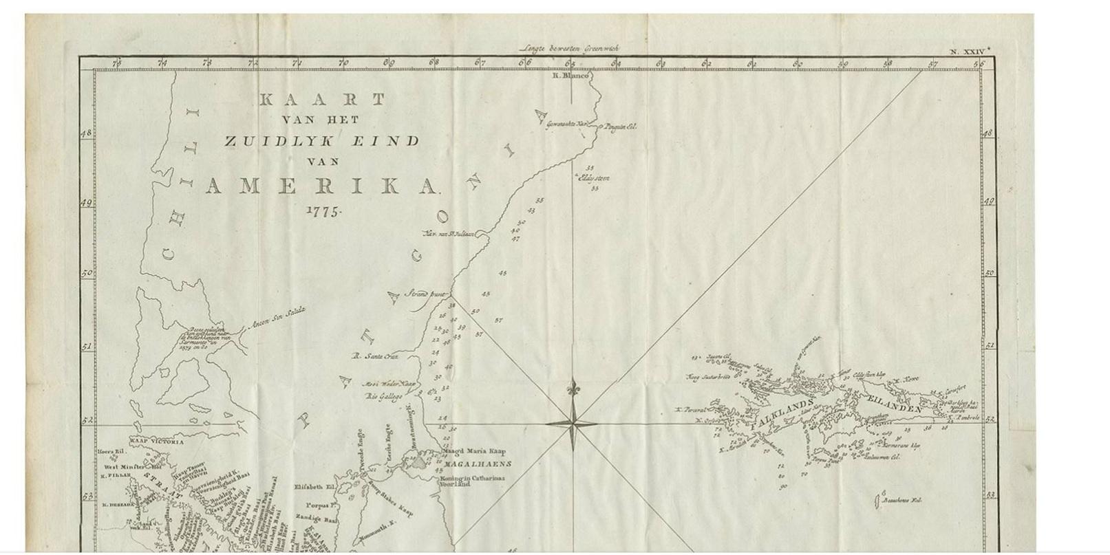
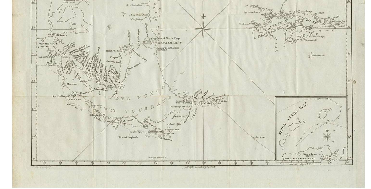
Antique map titled 'Kaart van het Zuidlyk Eind van Amerika'. Map of the sourthern part of South America, focusing on Cook's tracks around the Cape Horn and Tierra del Fuego in 1775. This map originates from a Dutch edition of the Official Account of Cook's Expedition.

More from South America

Ask about this sheet

Antique Map of South America by J. Cook (1775)
1775 · Ref. BG-06847 · € 590
We reply by email, usually within one working day.