About this sheet
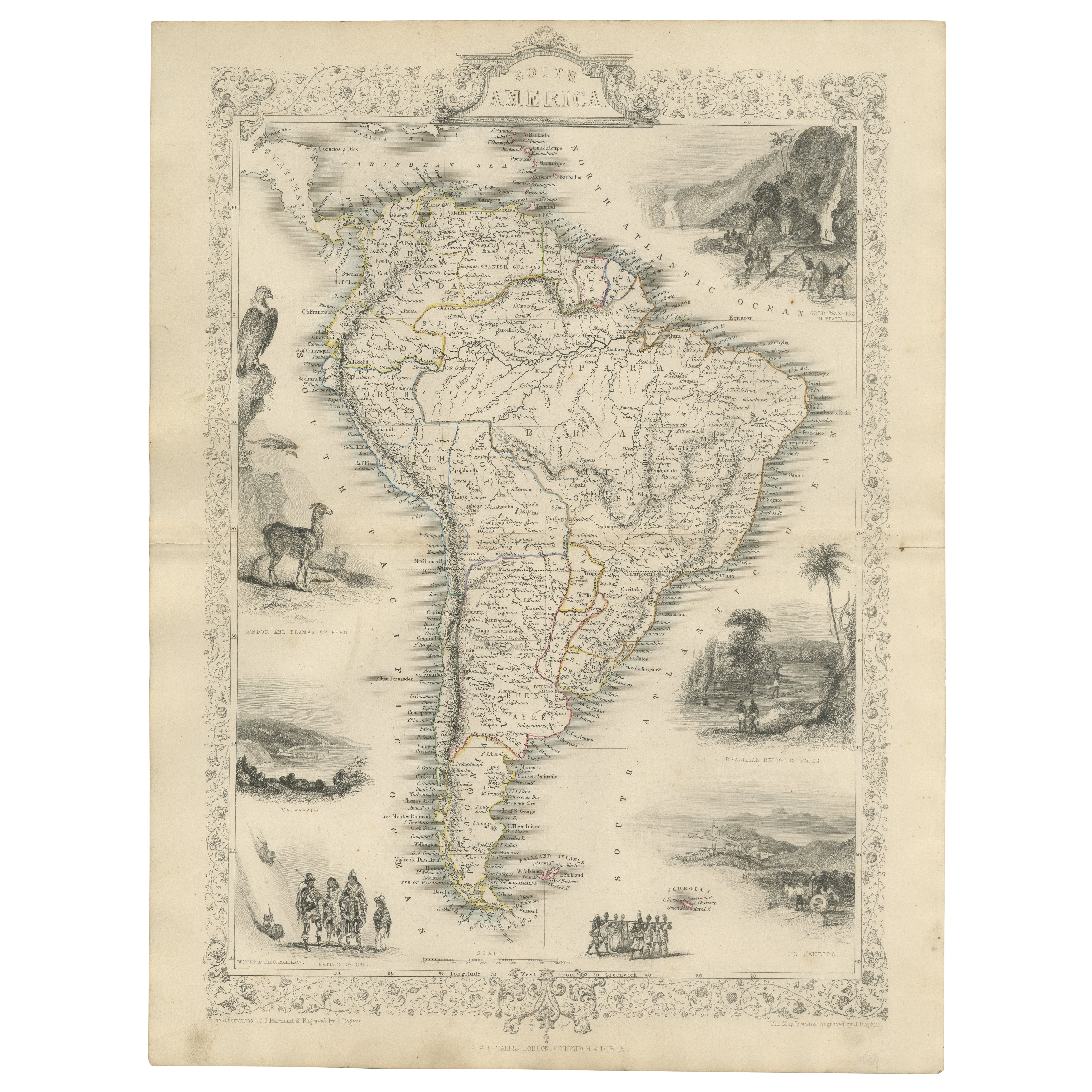
Decorative 19th-Century Map of South America by J. Rapkin, Published by J & F Tallis
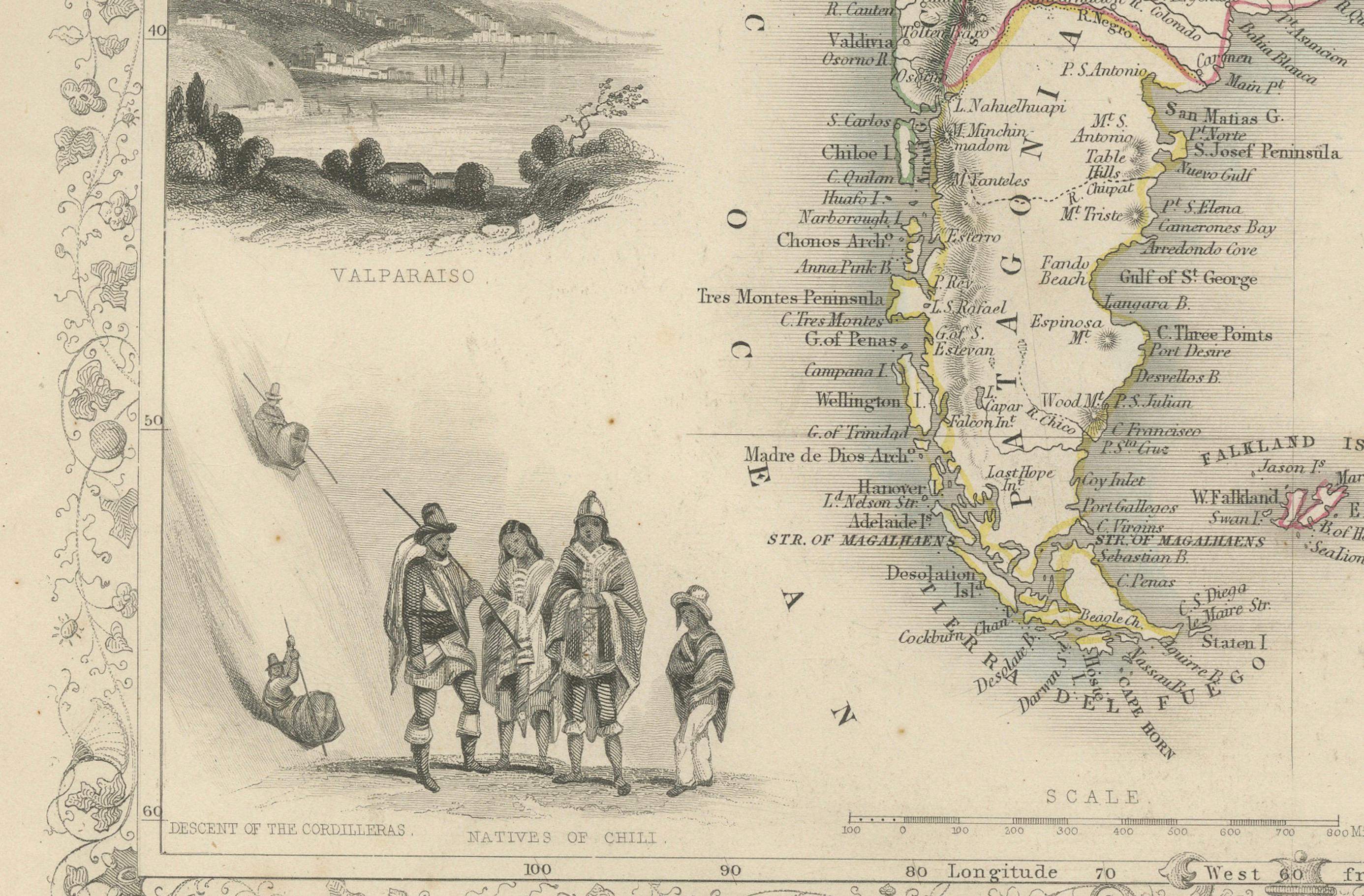
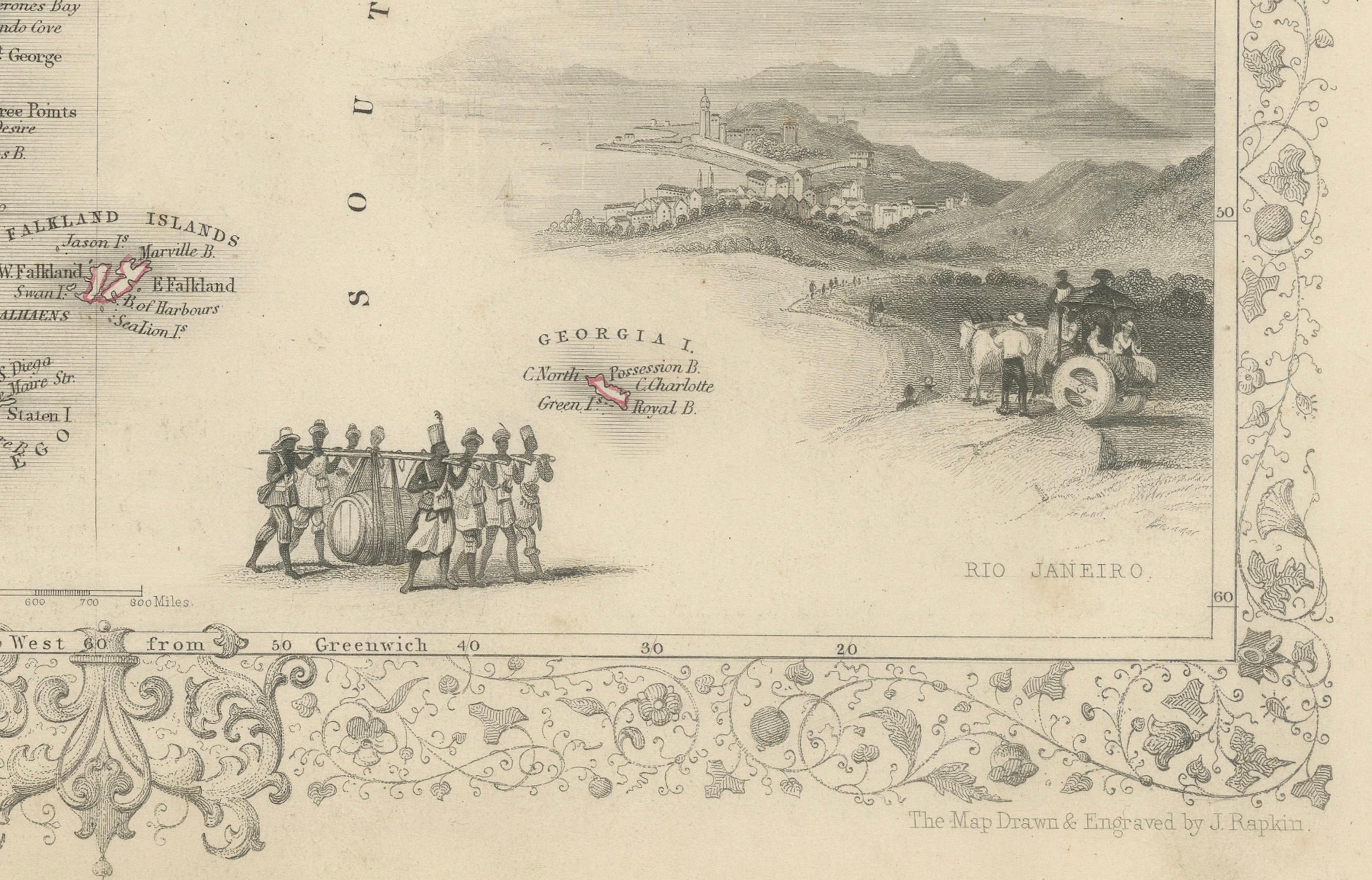
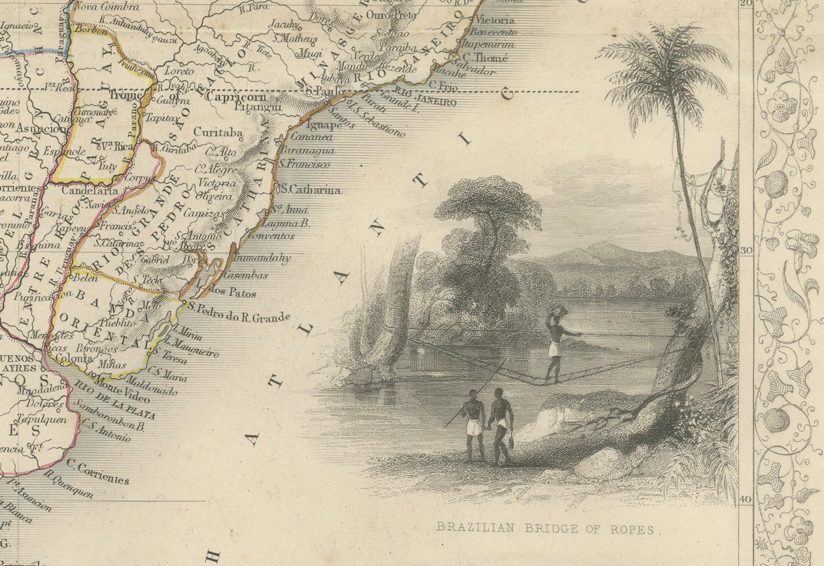
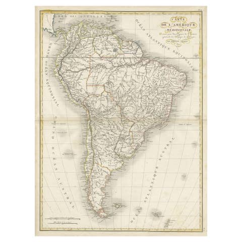
This beautifully detailed map of South America, drawn and engraved by J. Rapkin and published by J & F Tallis, dates to the mid-19th century. It was included in "The History of the United States of America from the Earliest Period to the Present Time" and reflects the high standards of cartographic and artistic excellence typical of Tallis publications.
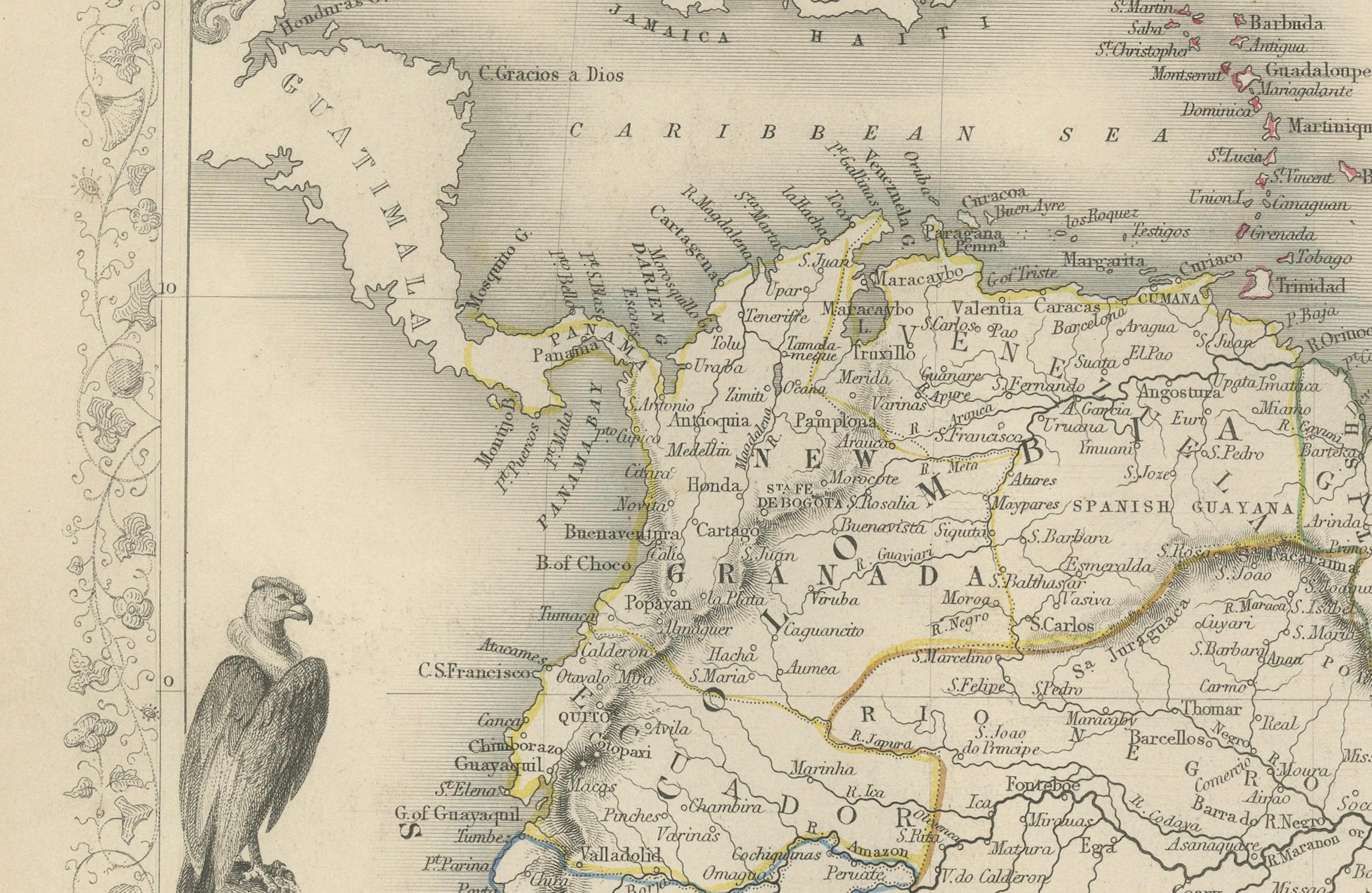
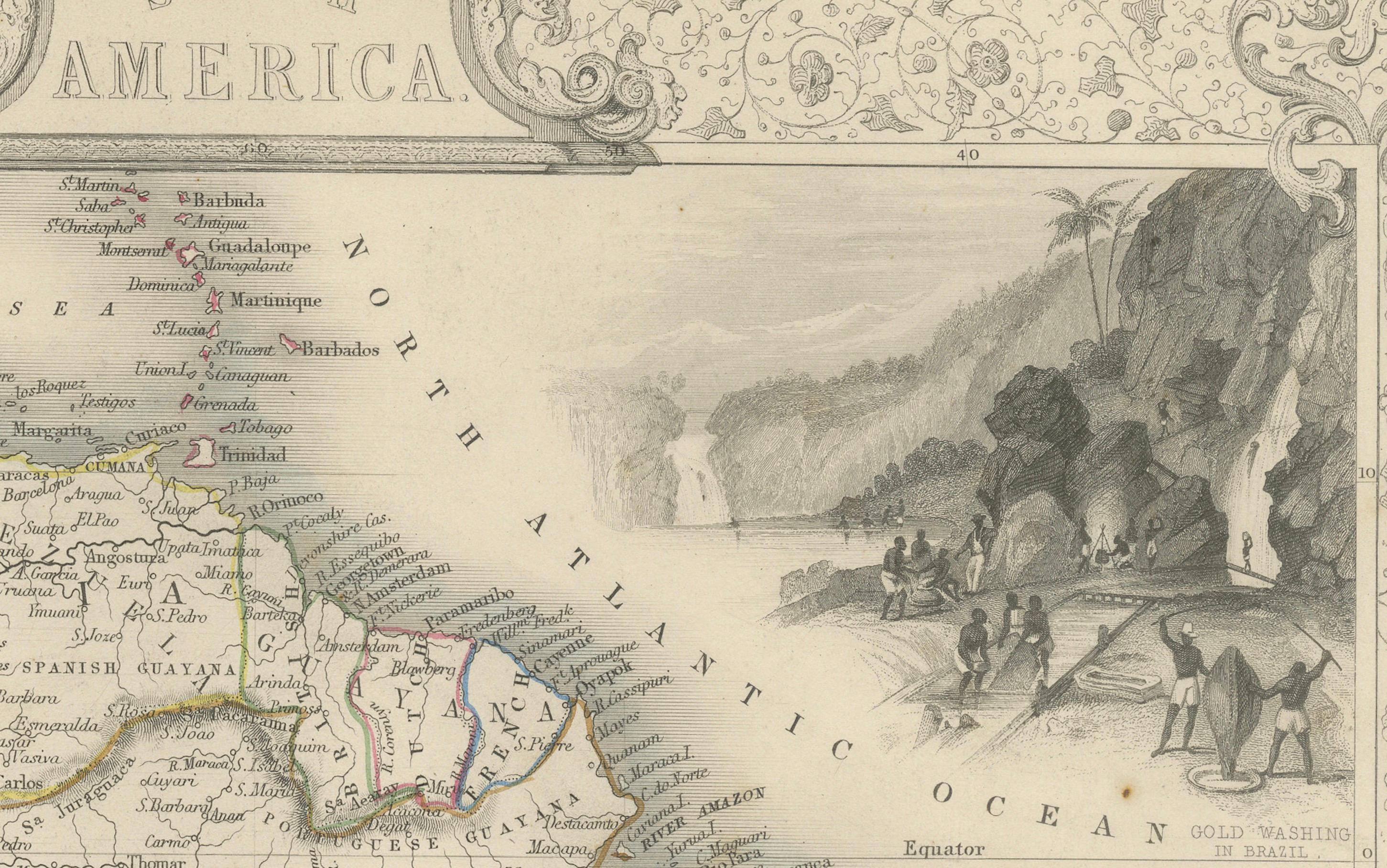
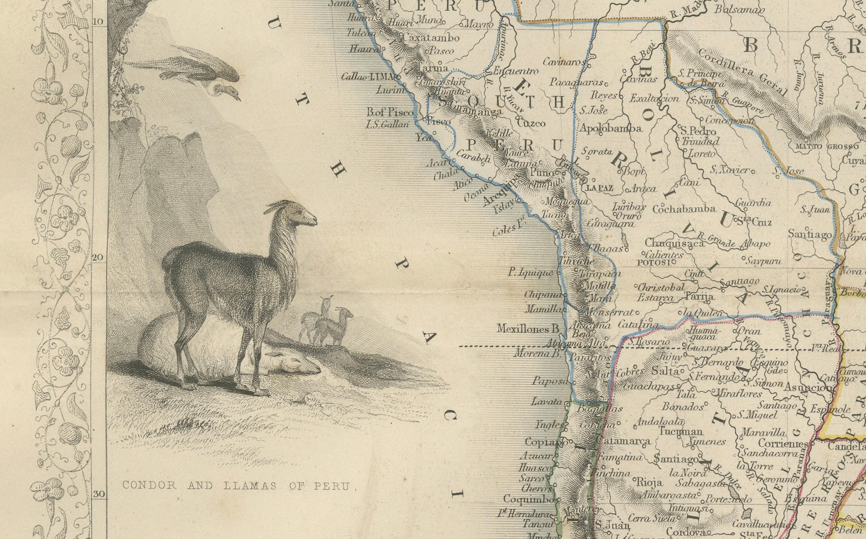
The map features intricate decorative borders, vignettes of significant landmarks, and depictions of the region's flora, fauna, and inhabitants. Illustrations by J. Marchant and engravings by J. Rogers enhance its visual appeal, showcasing scenes such as the Brazilian bridge of ropes, a view of Valparaiso, and various depictions of native wildlife and cultures. Political boundaries are carefully outlined, with important rivers, cities, and geographical features meticulously labeled.
The decorative elements and detailed geographic representation make this map not only a functional tool of its time but also a work of art that embodies the Romantic fascination with exploration and discovery. It serves as a valuable artifact for collectors of antique maps or those interested in 19th-century depictions of South America.
Year of publication: Circa 1850s.
Condition: Excellent for its age, with vibrant engraving detail and minimal wear.
Keywords: South America, Amazon River, Andes Mountains, Brazil, Argentina, Peru, Chile, Colombia, Venezuela, Rio de Janeiro, Valparaiso, Patagonia, Bolivia, Paraguay, Uruguay, Ecuador, Guyana, antique map, 19th-century map, decorative map, Tallis map, Victorian cartography, engraved map, historical geography, colonial South America, romantic-era maps, illustrated map, hand-colored map, historical landmarks, ethnographic scenes, J. Rapkin, J & F Tallis, J. Marchant, J. Rogers, Victorian engraving, British cartographers, antique maps for collectors, decorative wall art, historical prints, cartographic art, exploration and discovery maps, illustrated cartography.