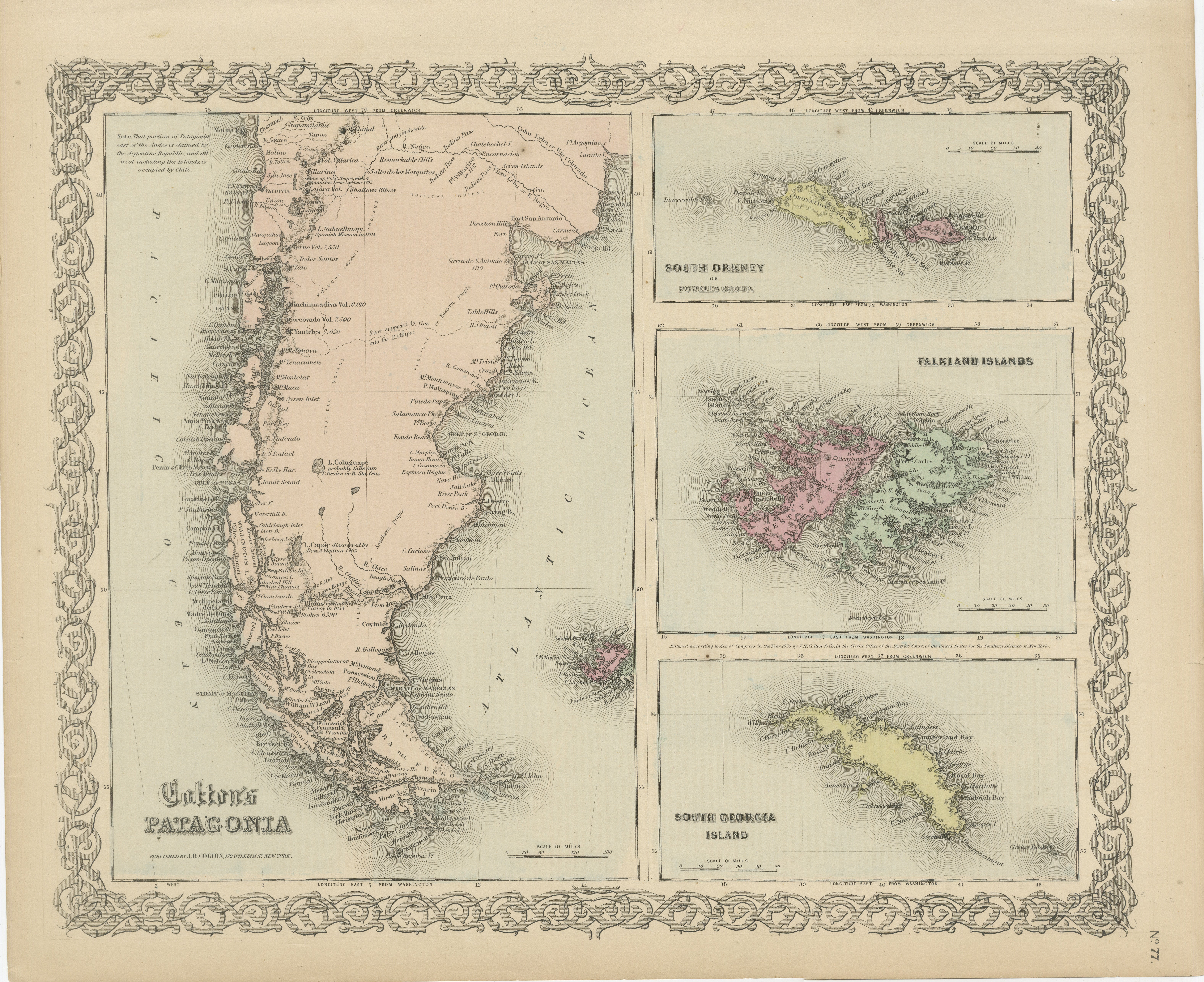
1855 Colton's Map of Patagonia with South Atlantic Islands Insets
€ 200
One of a kind: this is the sheet in the photographs. Ships from Langweer, the Netherlands.
Date
1855
Sheet size
36 × 46 cm (14.2 × 18.1 in)
Reference
BG-13952-5
Condition
The map is in good condition, with minor yellowing consistent with its age. The paper shows slight edge wear, and the decorative border is well-preserved. Original hand-coloring.
About this sheet
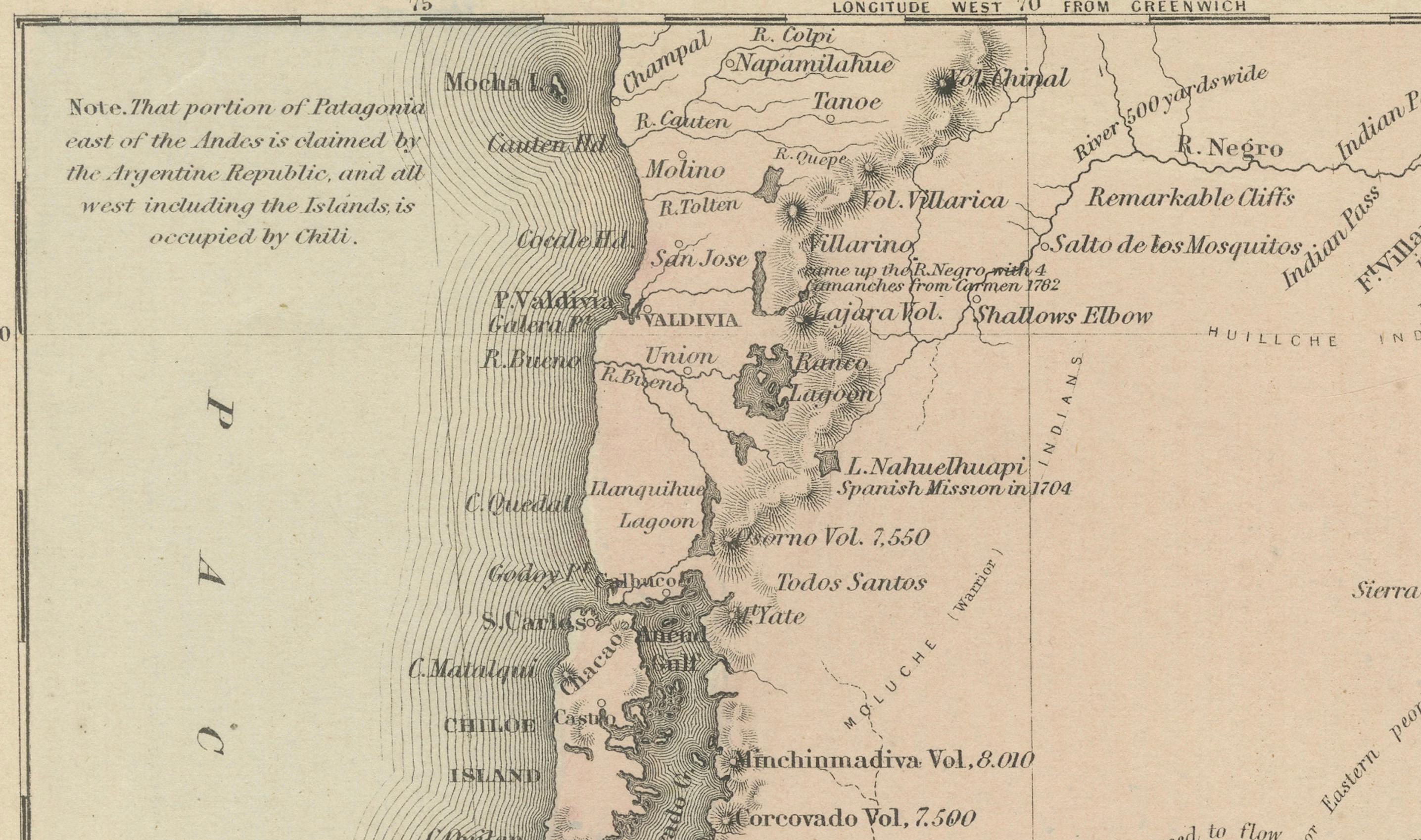
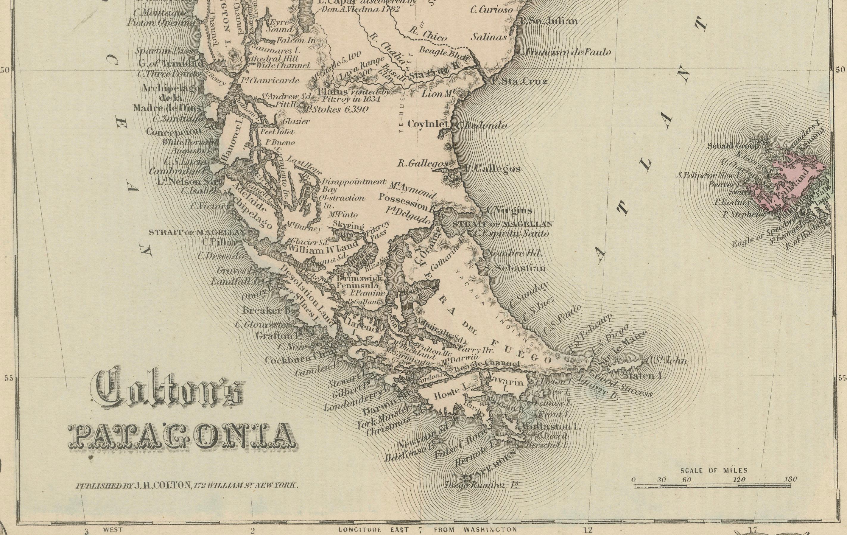
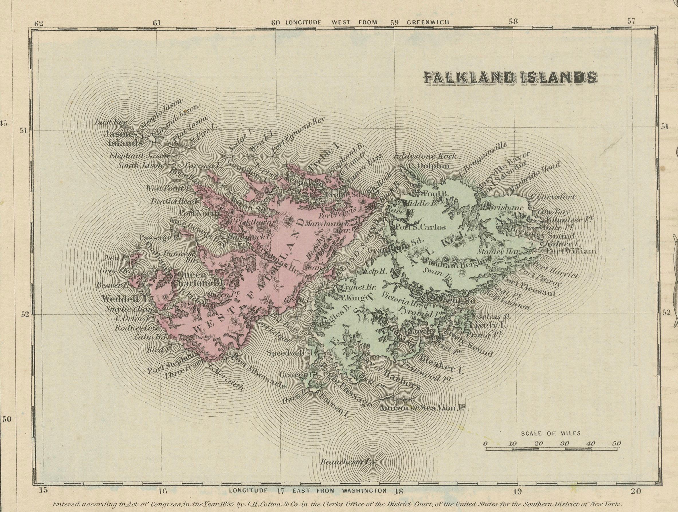
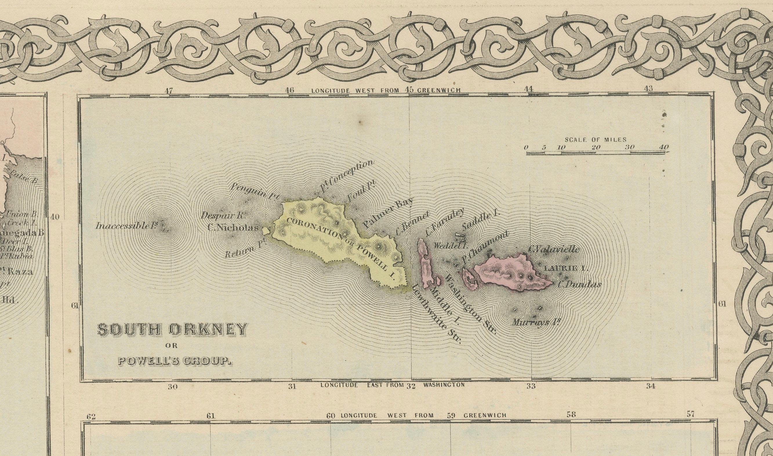
This is an 1855 map titled "Colton's Patagonia," published by J.H. Colton & Co. in New York. The map provides a detailed depiction of Patagonia, located at the southern tip of South America, along with inset maps of important islands in the South Atlantic: the South Orkney Islands, Falkland Islands, and South Georgia Island. The insets offer a closer look at these often isolated regions, providing both geographic and hydrographic details.
The map is notable for its intricate detail of a relatively remote and rugged region, featuring numerous geographical features such as capes, straits, rivers, and settlements. The map is adorned with an elaborate decorative border, adding to its visual appeal and making it a prime example of mid-19th-century cartographic artistry.
Condition: The map is in good condition, with minor yellowing consistent with its age. The paper shows slight edge wear, and the decorative border is well-preserved. The original hand-coloring, used to differentiate the various islands, remains vibrant and visually appealing, providing both clarity and distinction to the regions depicted. The central area of Patagonia and the surrounding insets are clean and highly legible, making it a valuable piece for collectors and those interested in historical geography.