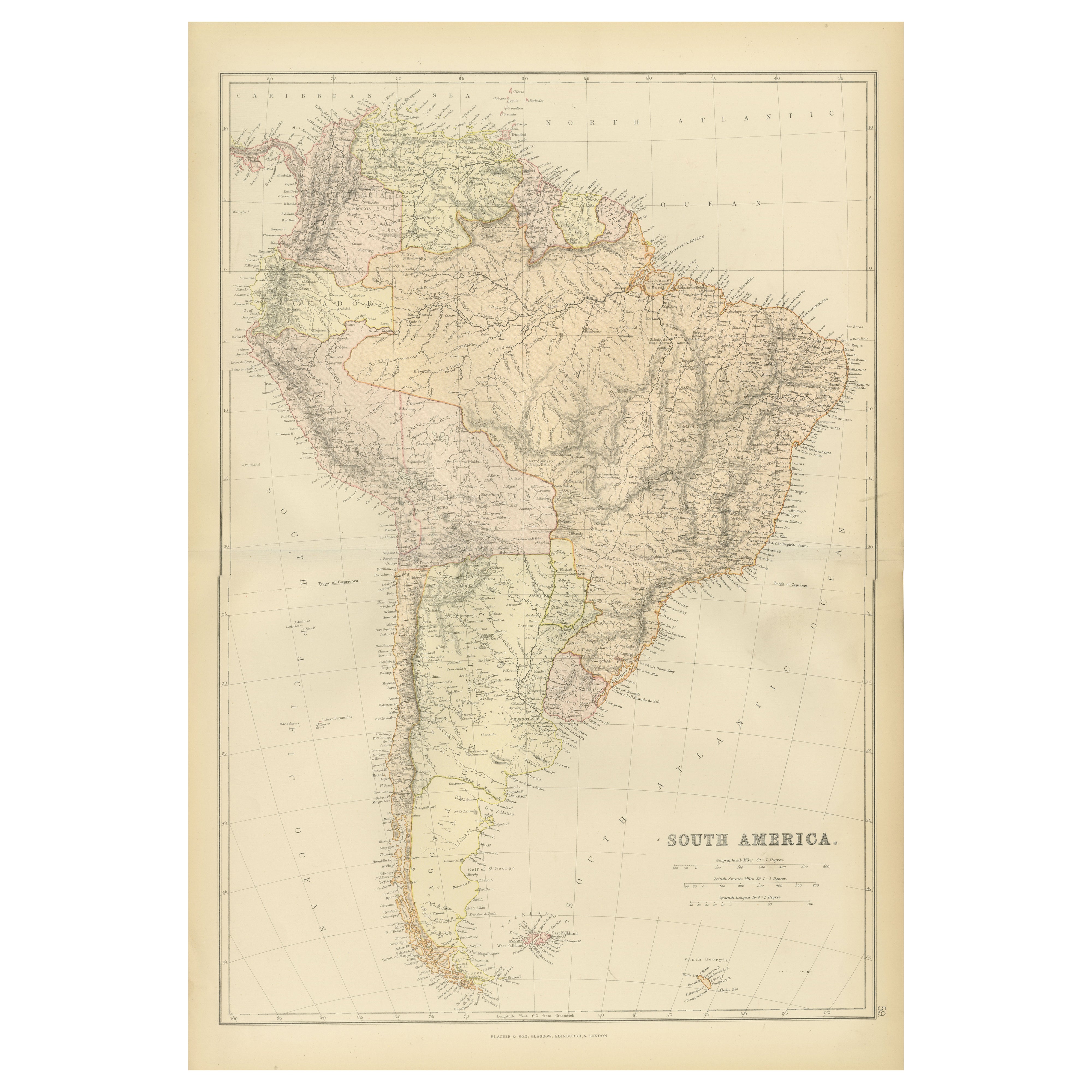
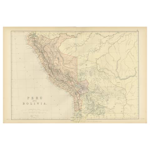
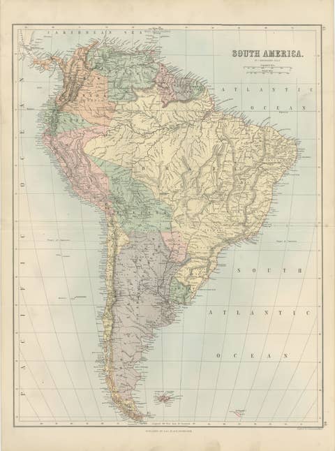
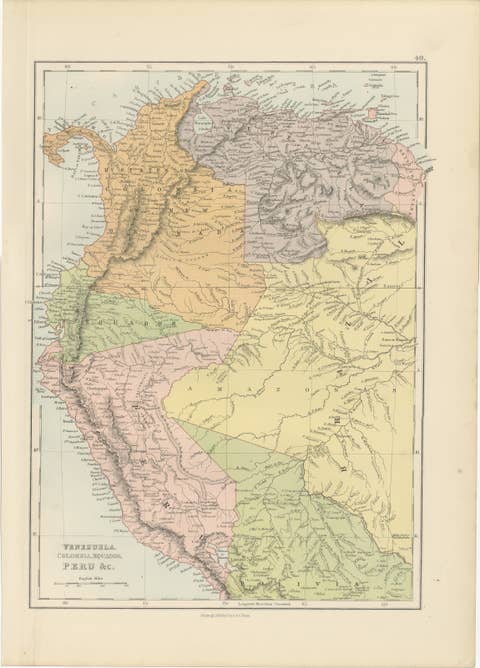
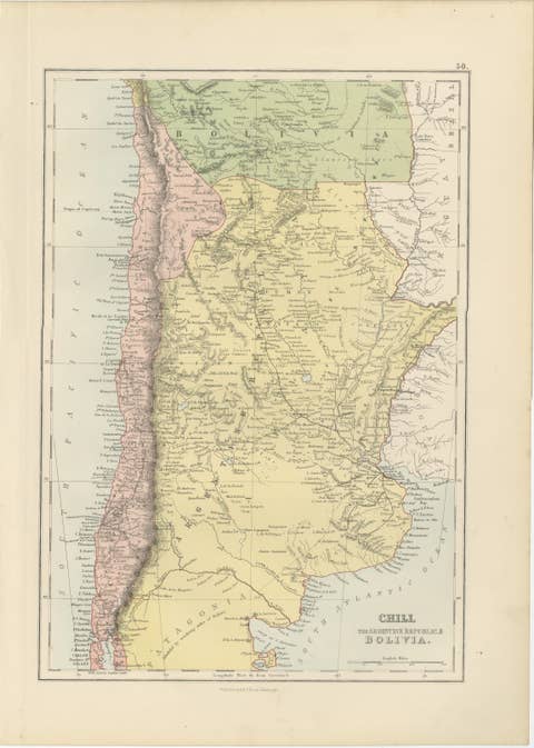
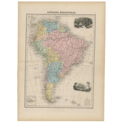
1882 Detailed Map of South America showing Political and Geographical Features
€ 250
One of a kind: this is the sheet in the photographs. Ships from Langweer, the Netherlands.
Date
1882
Sheet size
57 × 38 cm (22.4 × 15.0 in)
Condition
Good
Reference
BG-13601-2-68
Condition
Good condition, folding line in the middle. The outer borders are slightly discolored due to age, but not the image. This map is ideal for framing. Study the image carefully.
About this sheet
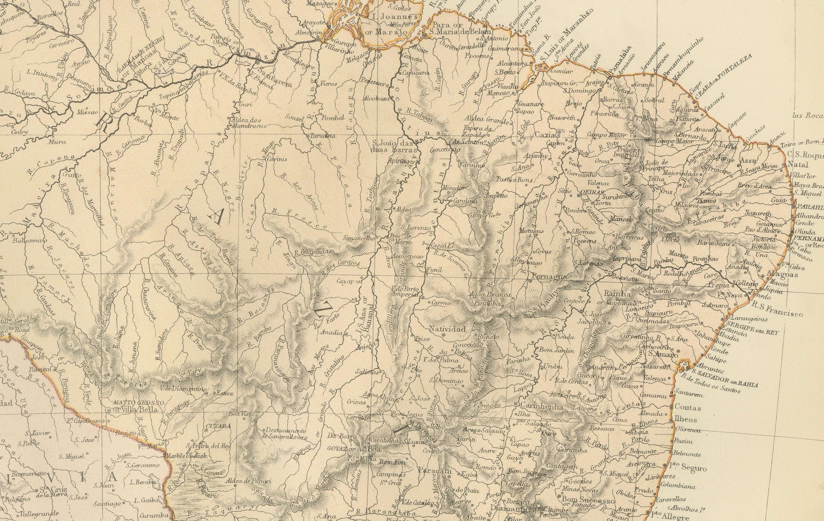
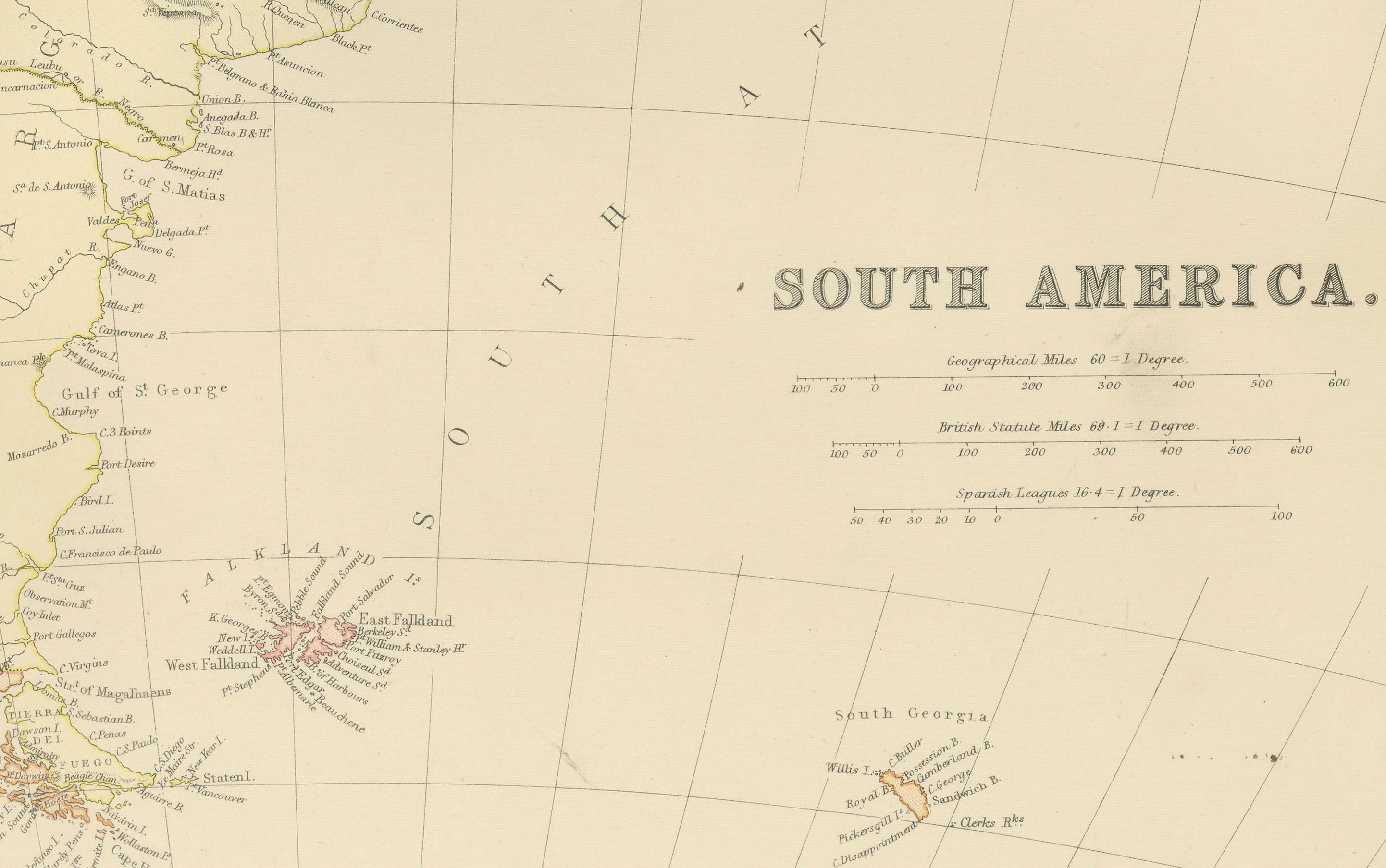
This 1882 map of South America, published by Blackie and Son as part of the 'Comprehensive Atlas and Geography of the World,' showcases the continent in remarkable detail. It provides a vivid representation of South America's geography, including its major rivers, mountain ranges, and coastal features, as well as the political boundaries of the time. The Andes Mountains, stretching along the western edge of the continent, are prominently depicted, along with key rivers such as the Amazon, Orinoco, and Paraná.
The map includes major cities, towns, and other significant settlements, offering a snapshot of the continent’s urban landscape in the late 19th century. Subtle color shading differentiates between the various nations, including Brazil, Argentina, Peru, Chile, and others, allowing for easy identification of territorial boundaries. Maritime features, including oceanic depths and coastal navigation points, are carefully marked, reflecting the importance of trade and exploration during the period.
The precision of the engraving and the artistry of the cartography make this map not only a valuable historical document but also a beautiful decorative piece for collectors, historians, or enthusiasts of antique maps.
Condition report: The map is in good condition for its age, with minimal edge wear and no visible tears or repairs. Slight toning and spotting are present, consistent with 19th-century paper.
Framing tips: Use a classic wooden frame in walnut or dark oak to complement the historical nature of the map. Choose a double mat with an inner cream or off-white mat and an outer mat in soft green or beige to highlight the map’s subtle tones. Use UV-protective glass to preserve its condition.