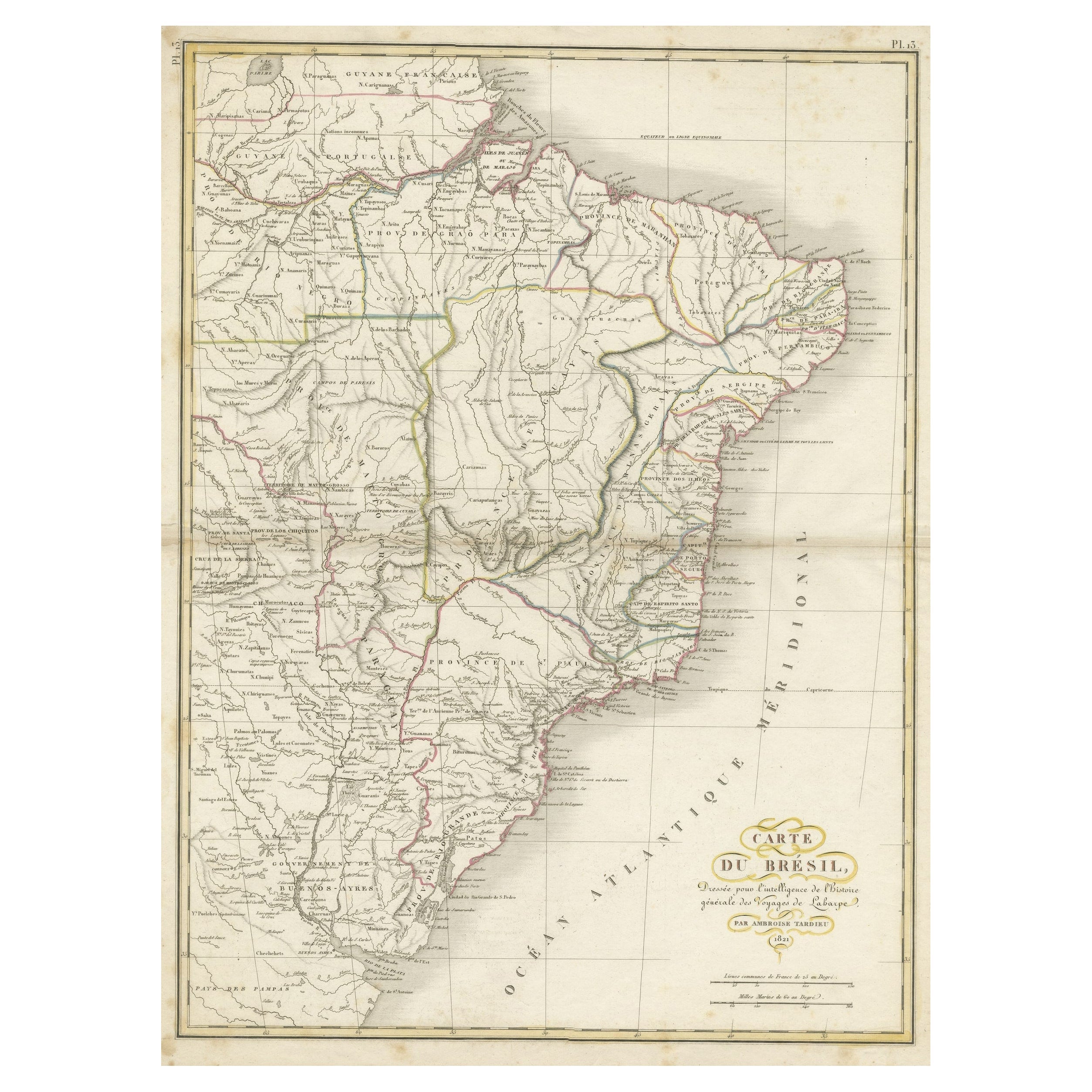
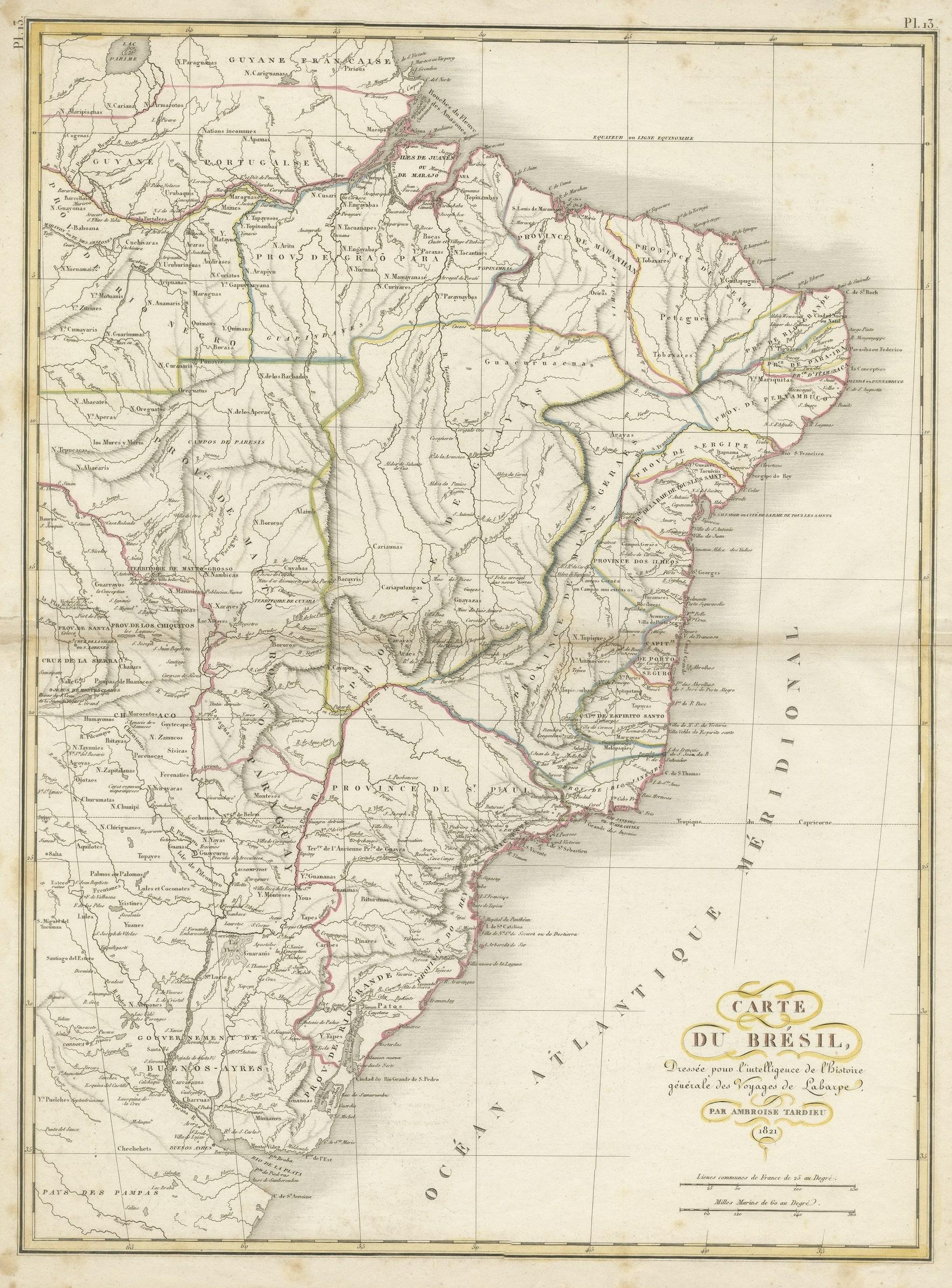
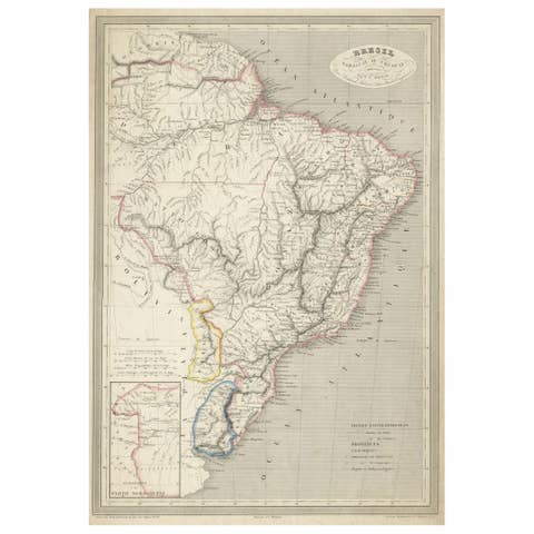
Antique Map of Brazil Extending South to the Mouth of the Rio de la Plata
€ 240
One of a kind: this is the sheet in the photographs. Ships from Langweer, the Netherlands.
Sheet size
59.2 × 44 cm (23.3 × 17.3 in)
Condition
Good
Reference
BG-13193-3
Condition
Wear consistent with age and use. General age-related toning. Original folding line. Minor wear and foxing, blank verso. Please study images carefully.
About this sheet
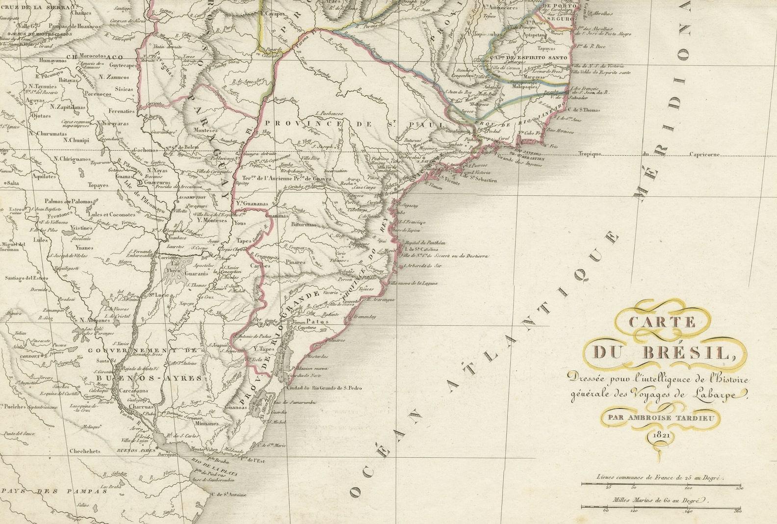
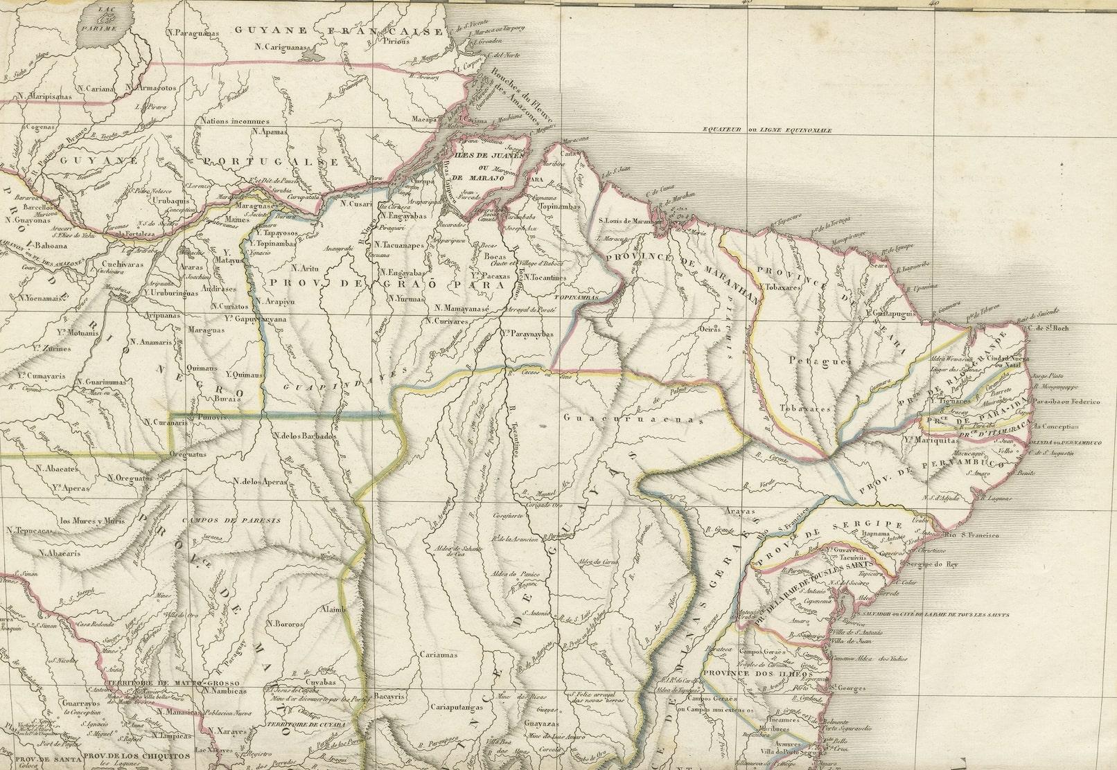
Antique map titled 'Carte du Brésil'. ?Beautiful map of Brazil extending south to the mouth of the Rio de la Plata and Buenos-Aires in Argentina. Published by Tardieu, 1821.
Pierre Antoine Tardieu (1784-1869), also known to sign his works as PF Tardieu, was a prolific French map engraver and geographer. The Tardieu family, based in Paris, was well known for their talent in engraving, cartography, and illustration. Pierre Antoine’s father, Antoine Francois Tardieu, was an established cartographer who published numerous atlases. His son is said to have collaborated with him for many years before establishing his own independent career.