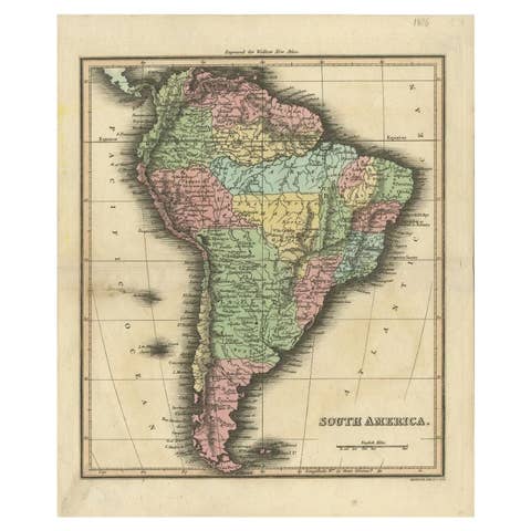
Antique Map of North and South America by Walker, 1828
€ 219
Original antique · The actual sheet photographed · Certificate of authenticity on request · Sold unframed · Worldwide shipping from € 15 (rates)
Date
1828
Sheet size
56 × 45 cm (22.0 × 17.7 in)
Condition
Fair
Reference
BG-00657
What the condition grades mean
Excellent
Bright and clean, with no faults worth mentioning.
Very good
Only light signs of age, such as faint toning.
Good
Normal signs of age for a sheet of this period: toning, some foxing, small marks or neat old repairs.
Fair
Clear faults such as staining, tears or repairs, priced to match.
Every fault we see is written in the condition note, and the whole sheet is shown uncropped in the photos.
Condition
Several repairs mainly on folding line and bottom of the map. Age-related toning. Please review the images for further condition details.
About this sheet
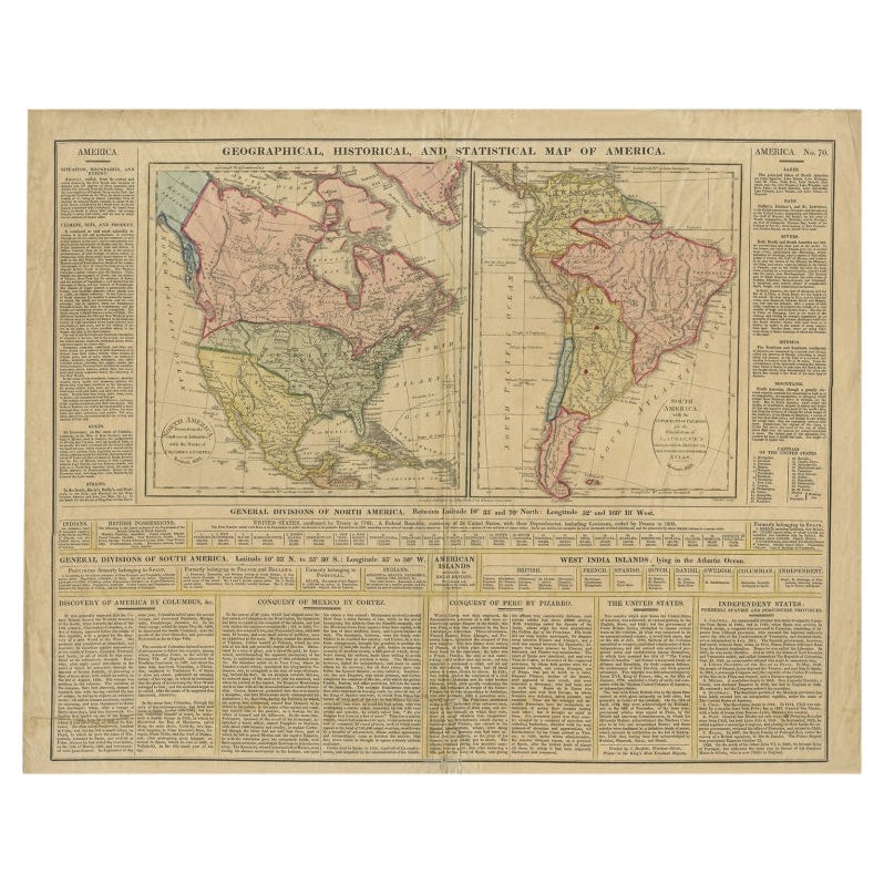
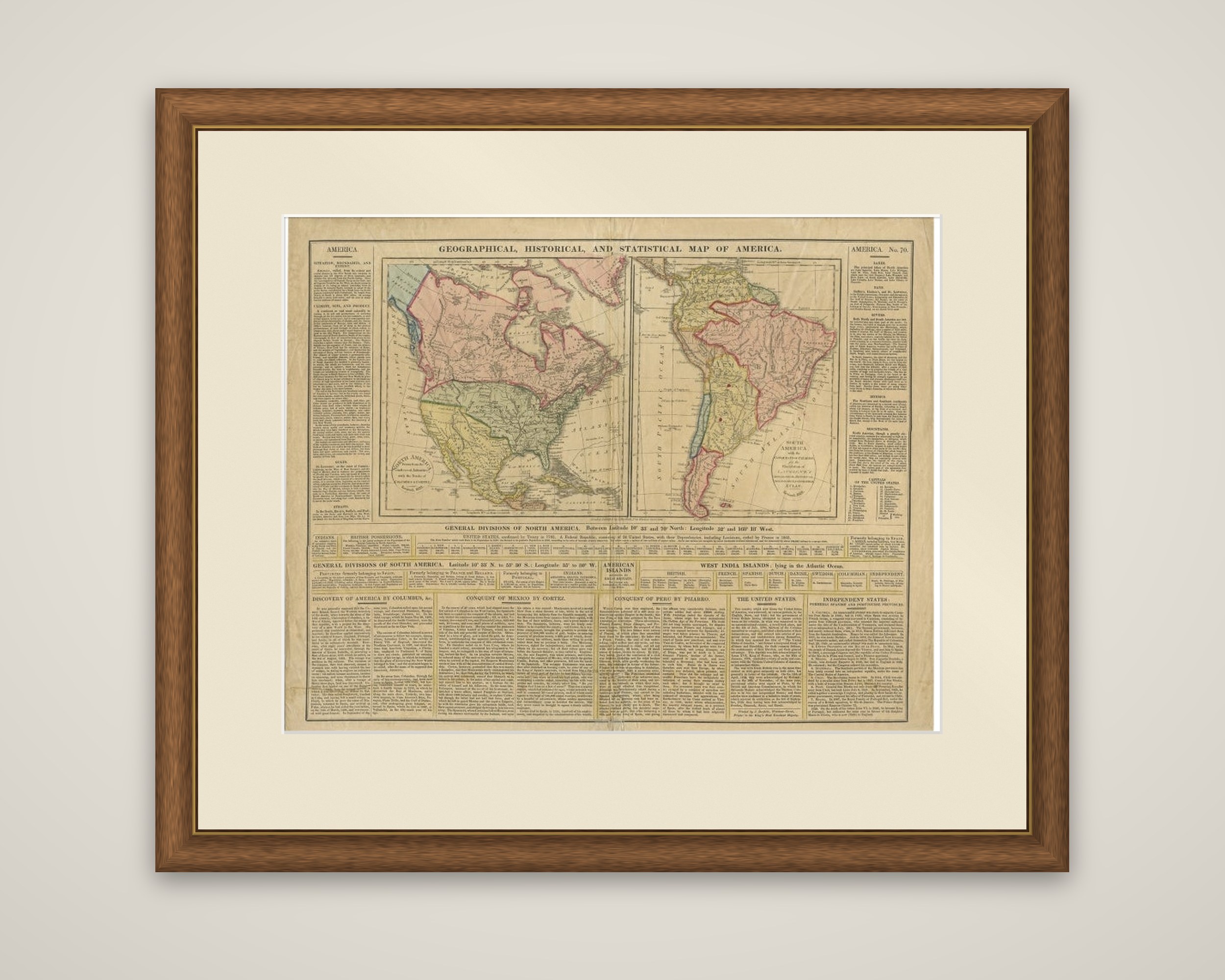
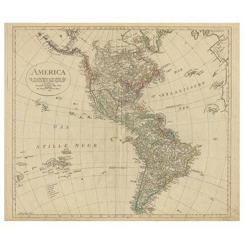
North and South America together on a single sheet, titled "Geographical, Historical, and Statistical Map of America", an original engraving with hand color, engraved by J. Walker and published in London by J. Barfield in 1828. The sheet is numbered "America No. 70" at the upper right.
Two maps sit side by side in the upper half, North America at the left and South America at the right, each with its own title cartouche. Colonial and national territories are tinted in pink, green and yellow, and the West Indies are shown in the Atlantic. Below the maps, a ruled table sets out the "General Divisions of North America" and "General Divisions of South America", giving the countries and their dependencies, and a further band names the West India islands under British, French, Spanish, Dutch, Danish, Swedish and independent rule. Columns of text fill the left and right margins and the foot of the sheet, with headings such as "Discovery of America by Columbus", "Conquest of Mexico by Cortez", "Conquest of Peru by Pizarro" and "The United States".
The sheet works as a compact illustrated summary of the Americas as understood in the late 1820s.