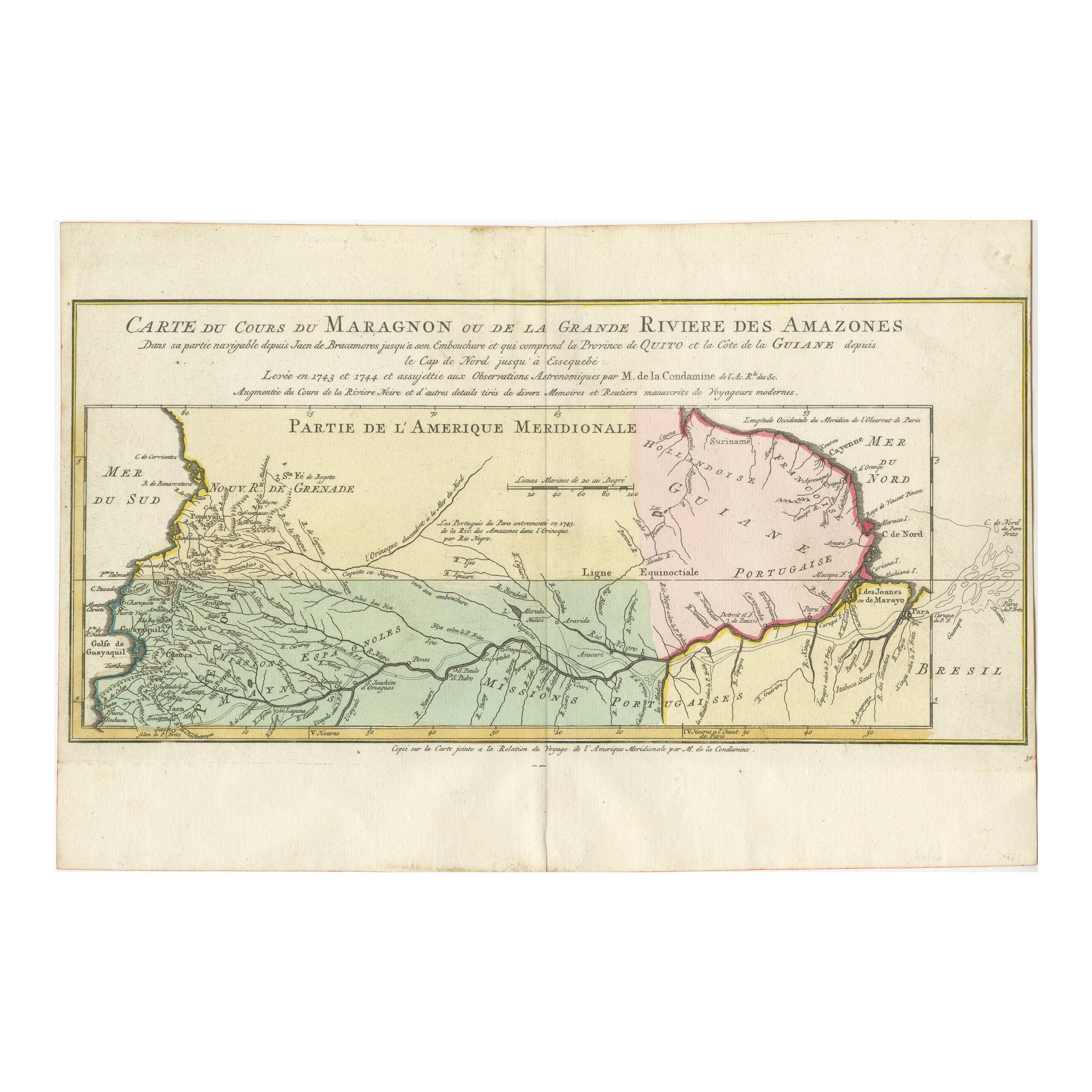
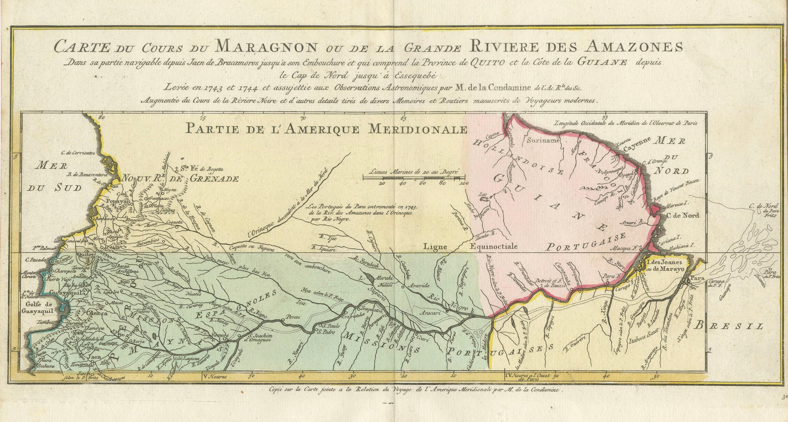
Map of the Amazon River's Course and Surrounding Regions (1743-1744)
€ 390
One of a kind: this is the sheet in the photographs. Ships from Langweer, the Netherlands.
Date
1743
Sheet size
25 × 38 cm (9.8 × 15.0 in)
Reference
BG-13745-2
Condition
good, given age. Fold as published. Left and right margins cuts short. General age-related toning and/or occasional minor defects from handling. Please study images carefully.
About this sheet
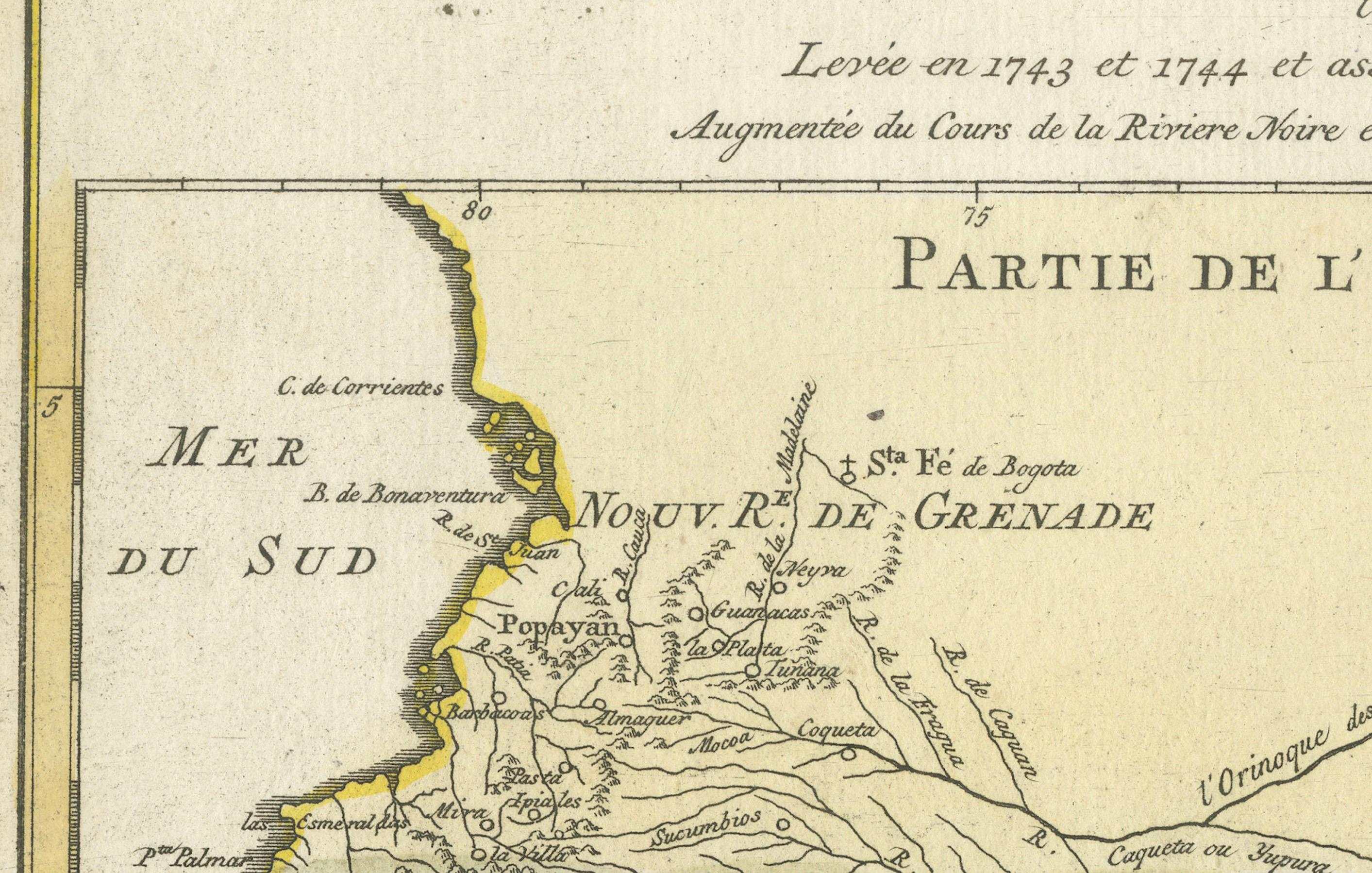
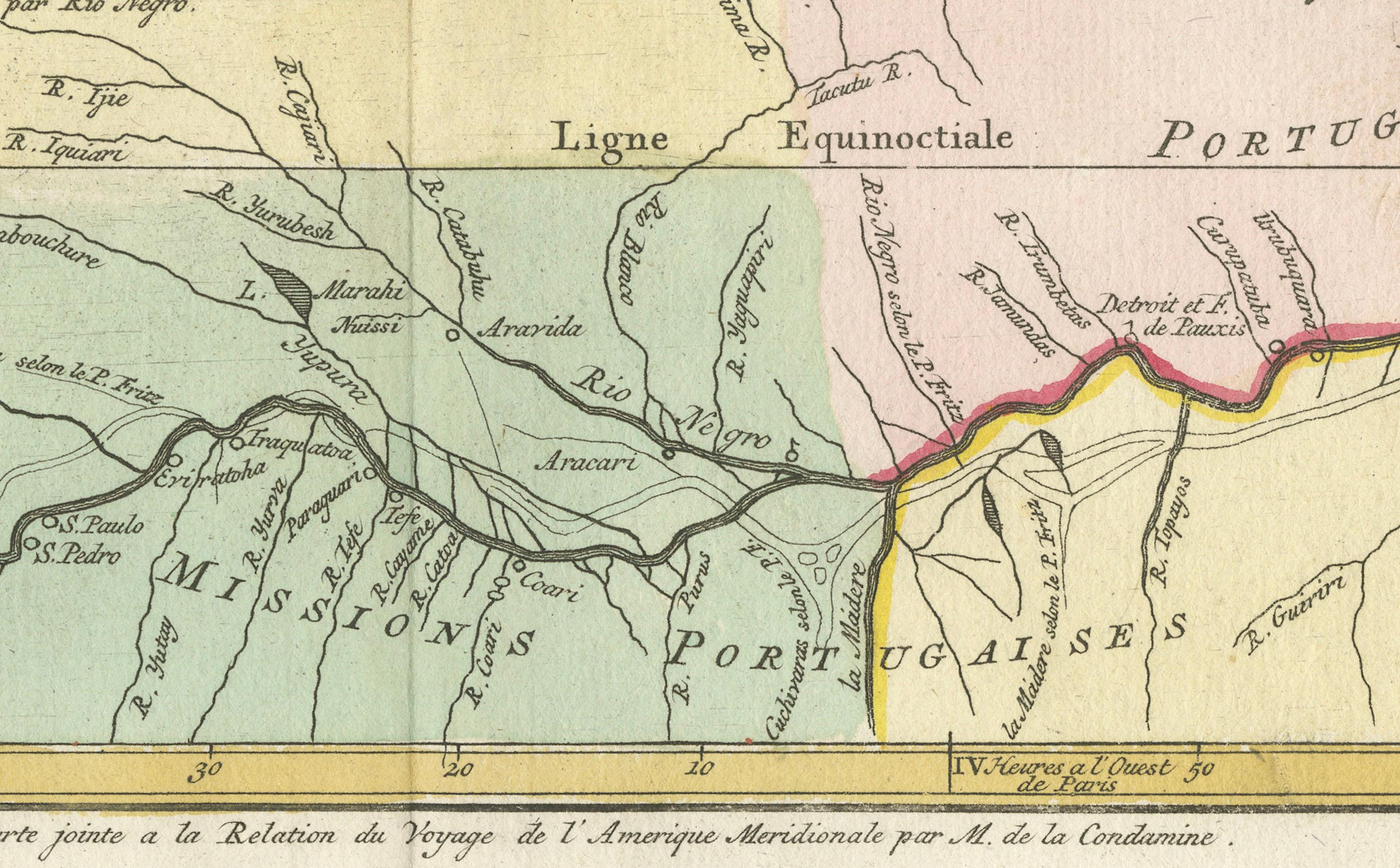
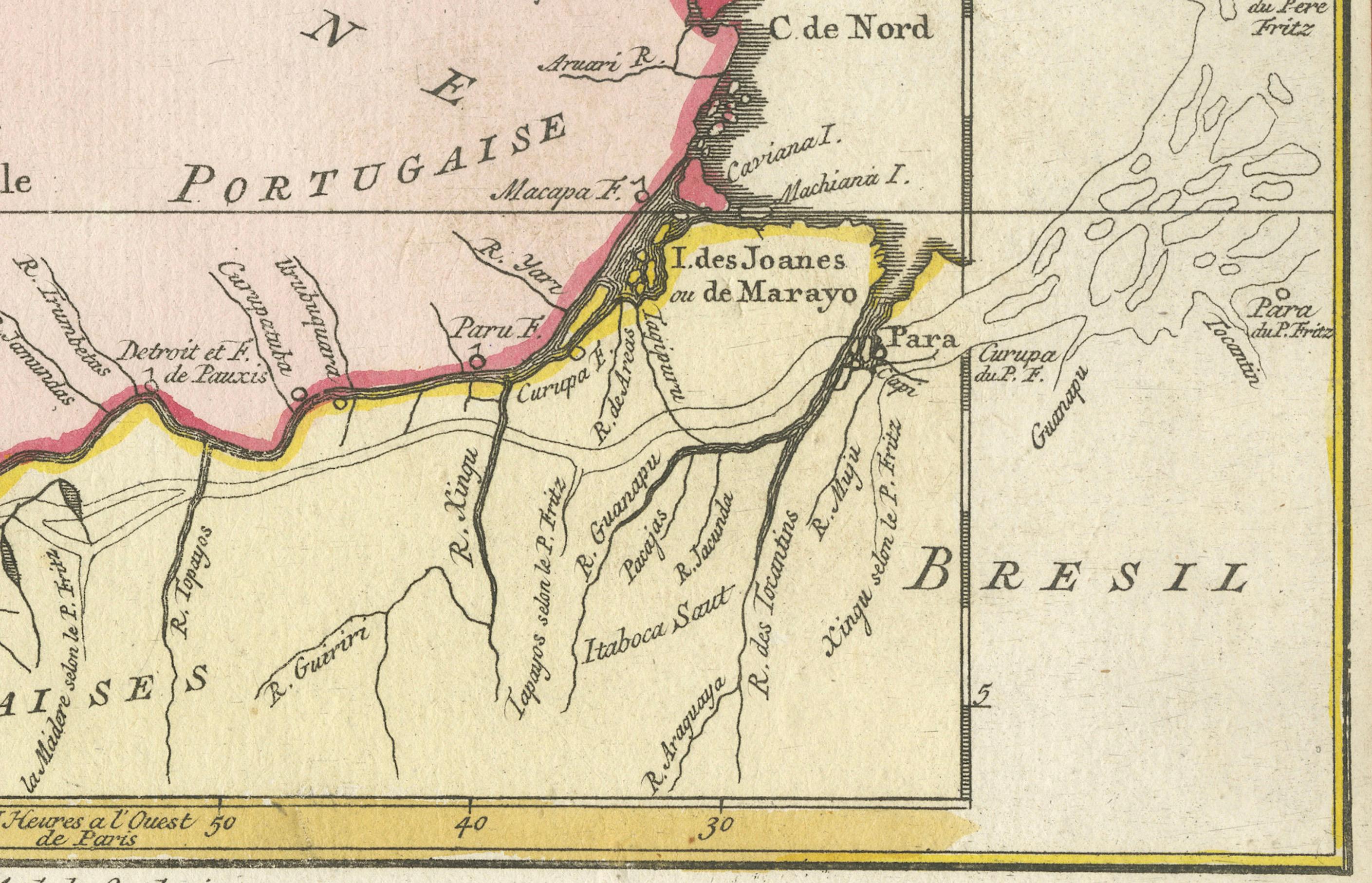
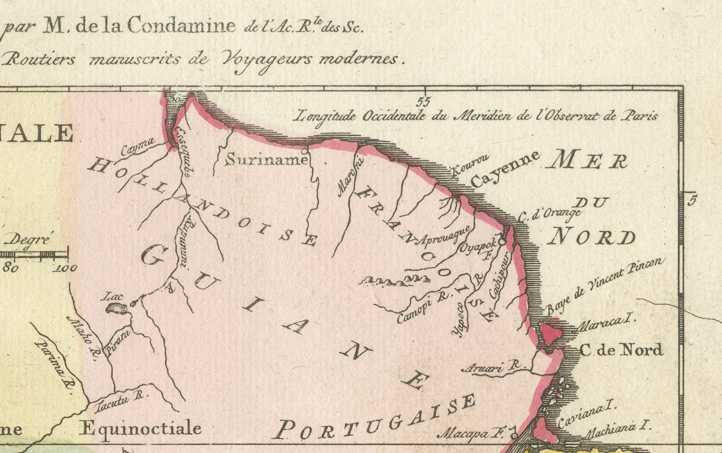
This original antique map, titled "Carte du Cours du Maragnon ou de la Grande Riviere des Amazones," illustrates the course of the Amazon River (referred to here as the Maragnon) from its navigable portion starting at Jaen de Bracamoros to its mouth, and includes the Province of Quito as well as the coastline of Guiana from Cape Nord to Essequibo. The map was created based on surveys conducted in 1743 and 1744 and supplemented by astronomical observations made by M. de la Condamine, a French explorer and scientist.
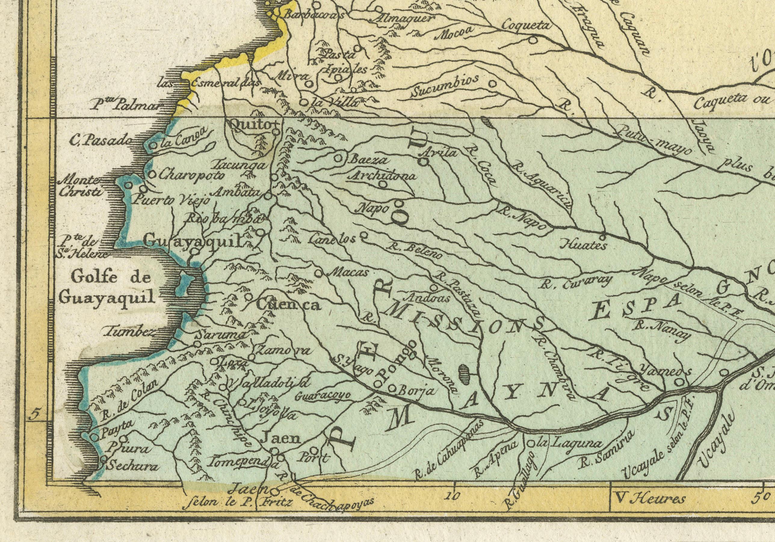
The map provides a detailed view of the Amazon Basin and adjacent areas in South America, including the territories under Spanish, Portuguese, and Dutch control at the time. The regions of New Granada, Guiana, and Brazil are prominently featured, with important geographical and political boundaries delineated.
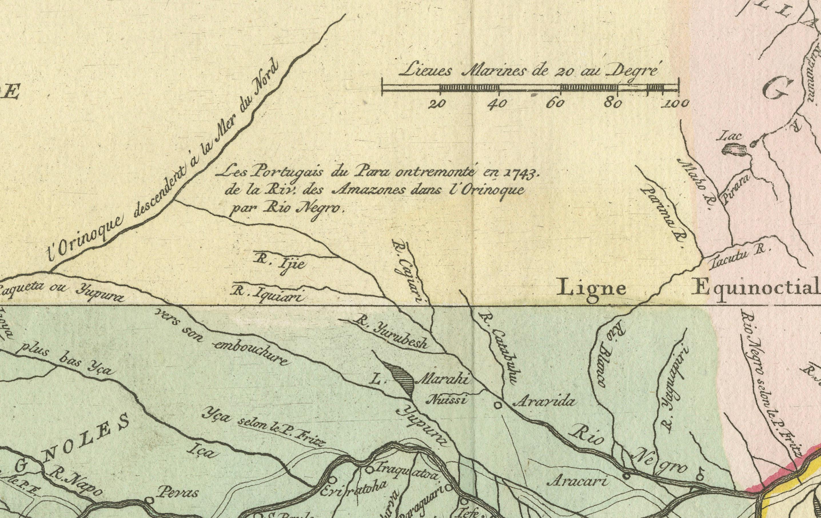
Color-coded regions mark different colonial possessions, with labels such as "Hollandoise Guiane" (Dutch Guiana), "Portugaise" (Portuguese territories), and "Espagnoles" (Spanish territories). Notably, the map includes the "Ligne Equinoctiale" (Equator) and various river systems feeding into the Amazon.
This historical map was included in a work related to the exploration of South America by Charles Marie de La Condamine, reflecting the European interest in the geography and strategic importance of the Amazon River during the 18th century. The map is engraved with fine details on hand-laid paper and is an example of the cartographic art and scientific exploration of the time.