Original antique · The actual sheet photographed · Certificate of authenticity on request · Sold unframed · Worldwide shipping from € 15 (rates)
Date
1765
Mapmaker / artist
Thomas Kitchin
Sheet size
43 × 55 cm (16.9 × 21.7 in)
Reference
PCT-57984
What the condition grades mean
Excellent
Bright and clean, with no faults worth mentioning.
Very good
Only light signs of age, such as faint toning.
Good
Normal signs of age for a sheet of this period: toning, some foxing, small marks or neat old repairs.
Fair
Clear faults such as staining, tears or repairs, priced to match.
Every fault we see is written in the condition note, and the whole sheet is shown uncropped in the photos.
Condition
Very good, given age. Edges slightly browned. Original middle fold as issued. General age-related toning and/or occasional minor defects from handling. Please review the images for further condition details.
About this sheet
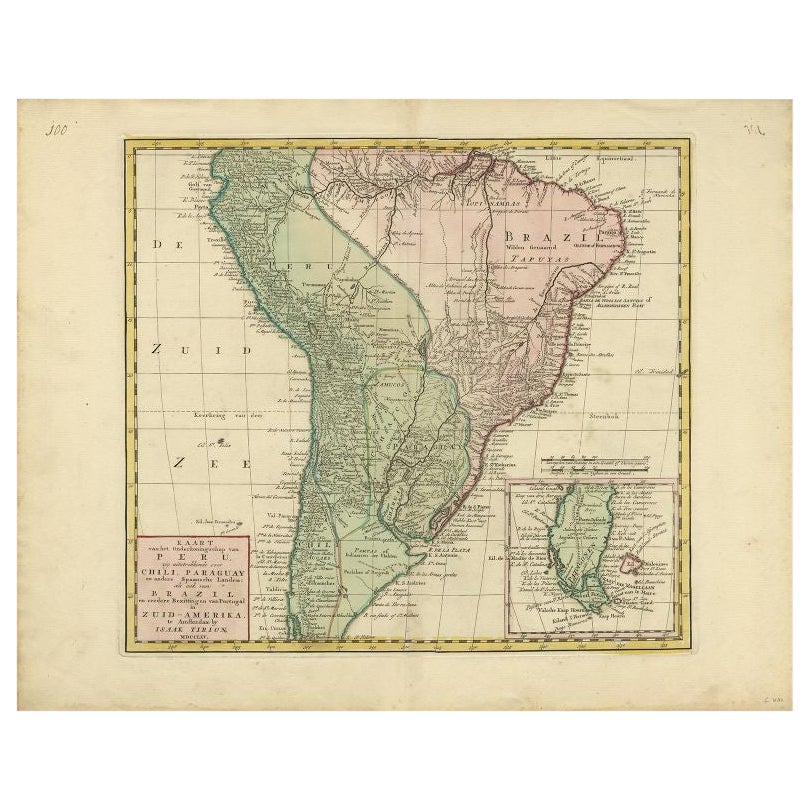
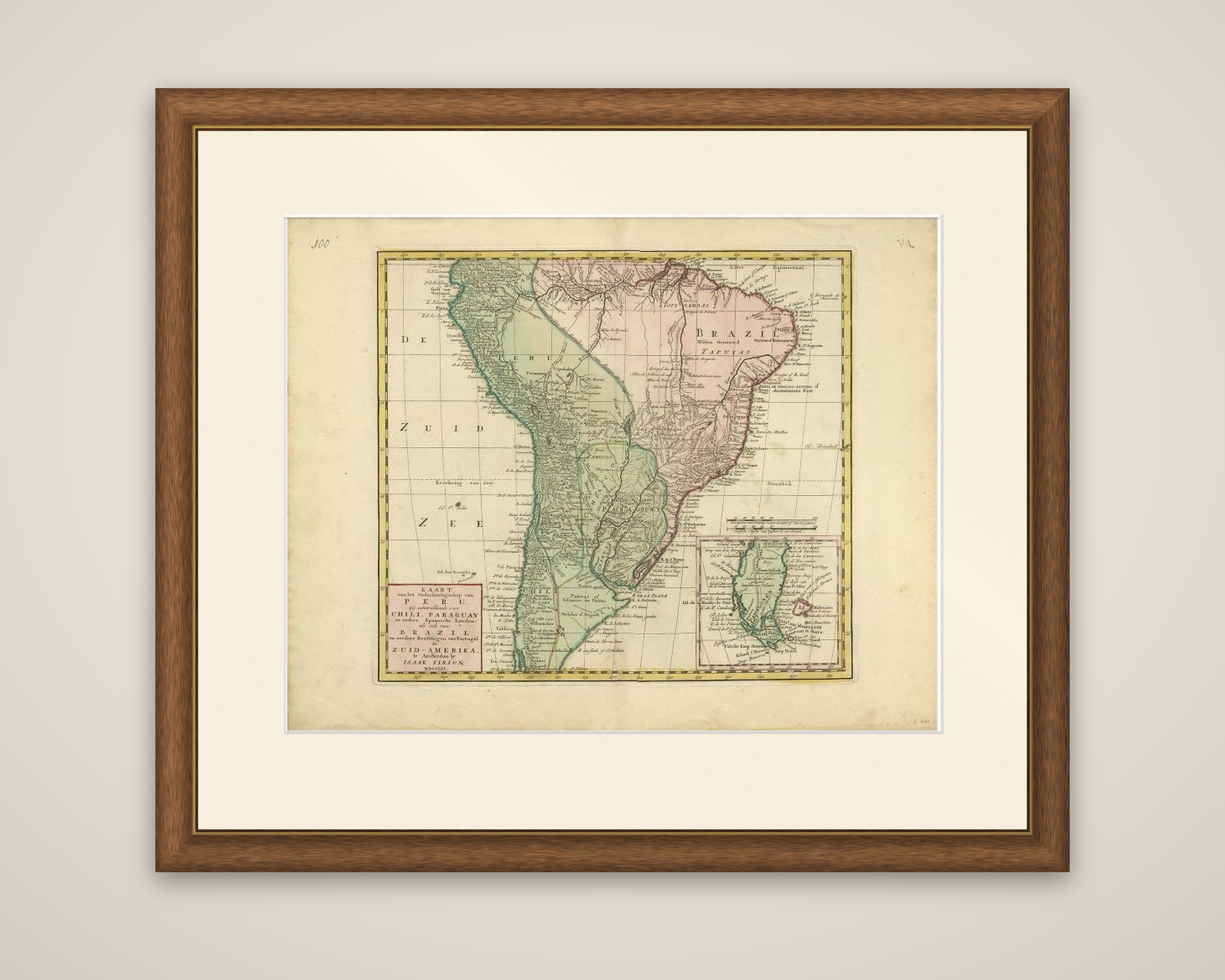
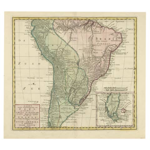
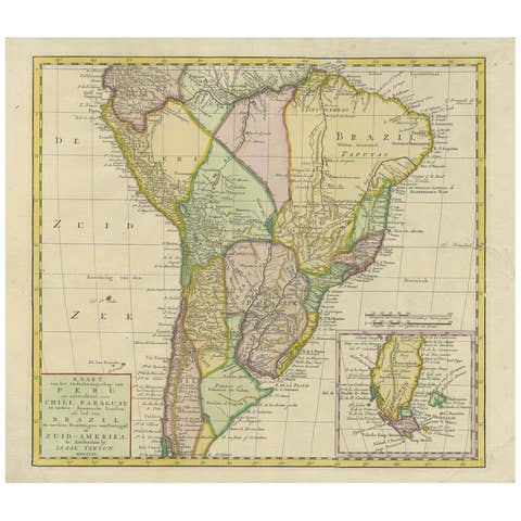
Spanish and Portuguese South America in the 1760s, titled "Kaart van het Onderkoningschap van Peru, zig uitstrekkende over Chili, Paraguay en andere Spaansche Landen, als ook van Brazil en verdere Bezittingen van Portugal in Zuid-Amerika", published in Amsterdam by Isaak Tirion, with the date MDCCLXV (1765) in the cartouche. The sheet is an original copper engraving with hand outline color.
The map covers most of South America south of the Caribbean coast, lacking the northern parts of Venezuela and Colombia. The Viceroyalty of Peru is outlined in green and Brazil in pink, with mountain ranges drawn in hachures and rivers and mission stations lettered across the interior. The long title is set in a pink cartouche at the lower left, and the southern tip of the continent is shown at a larger scale in an inset at the lower right, with the Strait of Magellan and Tierra del Fuego. The Pacific is lettered "De Zuid Zee" at the left, and a double border frames the map in yellow.
Tirion was a leading Amsterdam publisher of atlases and town plans in the middle of the eighteenth century.