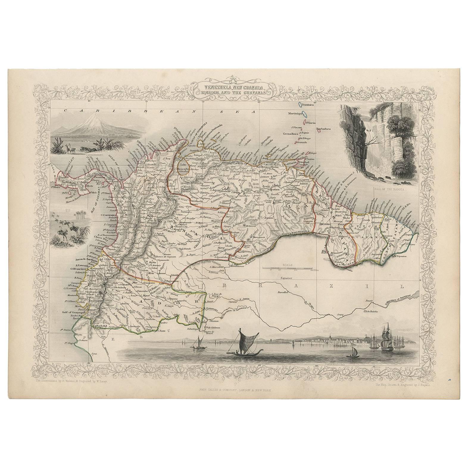
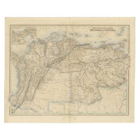
Antique Map of the Northern Part of South America by J. Tallis, circa 1851
€ 280
One of a kind: this is the sheet in the photographs. Ships from Langweer, the Netherlands.
Date
1851
Sheet size
26.9 × 36.6 cm (10.6 × 14.4 in)
Condition
Good
Reference
BG-03441
Condition
Good condition, considering age. Please study image carefully.
About this sheet
A decorative and detailed mid-19th century map of the northern part of South America (including modern day Venezuela, Colombia, Ecuador, Guyana, Suriname and French Guiana) which was drawn and engraved by J. Rapkin (vignettes by H. Winkles & W. Lacey) and published in John Tallis & Co.'s The Illustrated Atlas (London & New York: circa 1851).
The Illustrated Atlas, published from 1849 onwards, was the last decorative world atlas. The 'Venezuela, New Granada...' map was typical of the many Fine ones which appeared in this work with its decorative border and attractive vignettes. Illustrated are views of Mount Chimborazo, Ecuador; the 'Fall of the Bagota' (Tequendama Falls, Colombia); Rheas and a prospect of Paramaribo Harbour (Dutch Guiana / Suriname).