Antique Maps of Southern Europe
265 original sheets
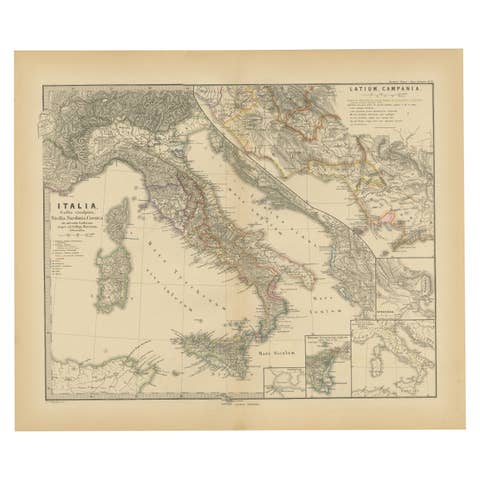
Roman Italy and Provinces: A Cartographic Snapshot, 1880
1880 · € 370
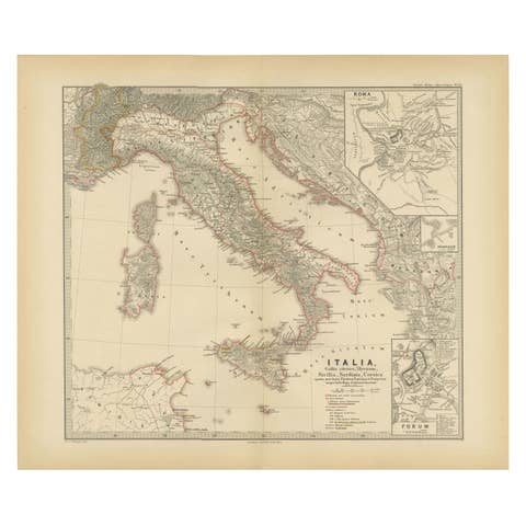
Map of The Italian Peninsula with the islands of Sicily, Sardinia, Corsica, 1880
1880 · € 370
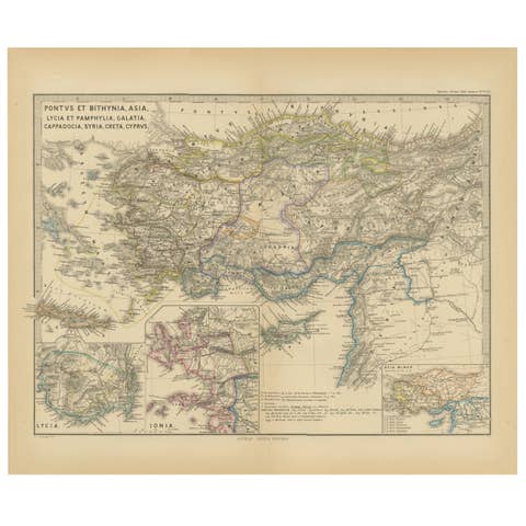
Asia Minor and Provinces: A Roman Empire Map from Spruner-Menke Atlas, 1880
1880 · € 370

Ancient Iberia: Hispania Map from Spruner-Menke Atlas Antiquus, 1880
1880 · € 370

Antique Map of The Regions of Italy and Sicily during the Roman Empire, 1880
1880 · € 370
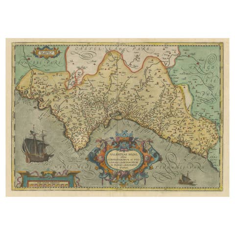
Decorative Original Antique Map of Valencia in Southern Spain, circa 1601
1601 · € 1 400
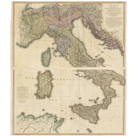
Very Large Double Page Detailed Map of Italy and Surrounding Regions, 1794
1794 · € 1 990
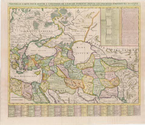
18th-Century Map of the Eastern Roman Empire by Henri Chatelain, c. 1719
1719 · € 1 200
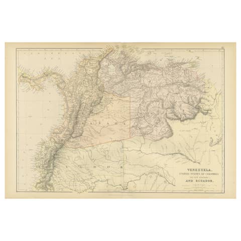
Antique 1882 Map of Venezuela, Colombia (New Granada), and Ecuador
1882 · € 250
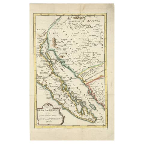
Rare 1757 Jesuit Map of California and Baja, Dedicated to the King of Spain
1757 · € 880
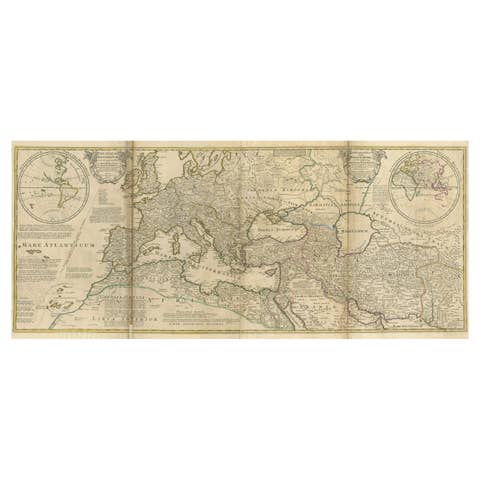
Rare 1730 Roman Empire Map by Moll - Detailed and Engraved Masterpiece
1730 · € 1 400
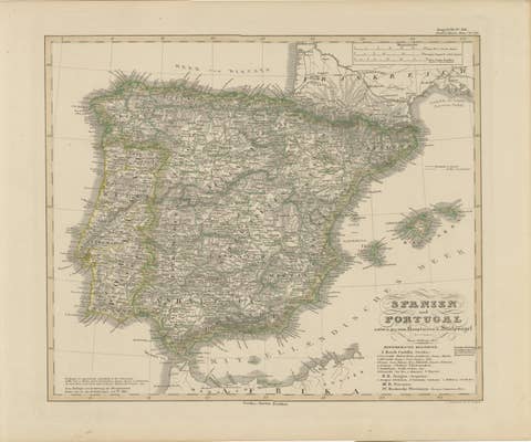
Antique Map of Spain and Portugal – Hand-Colored Engraving by Stülpnagel, 1857
1857 · € 340
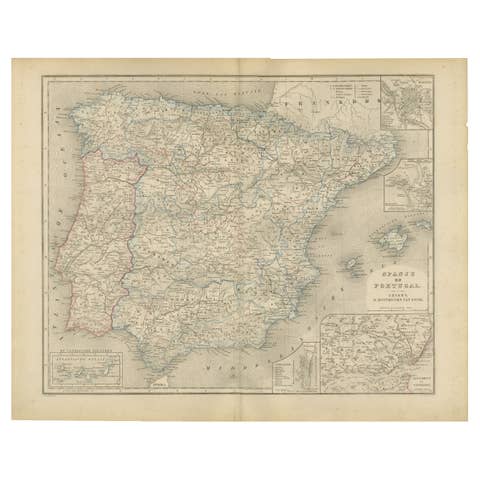
Map of Spain and Portugal – Nieuwe Hand-Atlas by Frijlink & van Otterloo, 1876
1876 · € 320
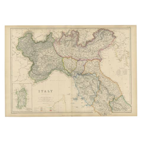
Northern Italy Map, Antique Hand-Colored Political Map, Italy Risorgimento 1860
1860 · € 490
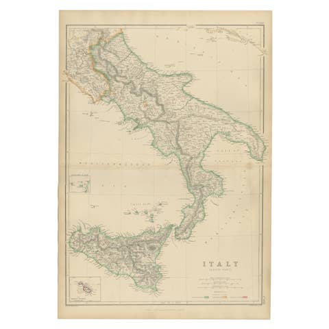
Italy (South Part), Sicily and Malta, Antique Hand-Colored Map, 1860
1860 · € 340
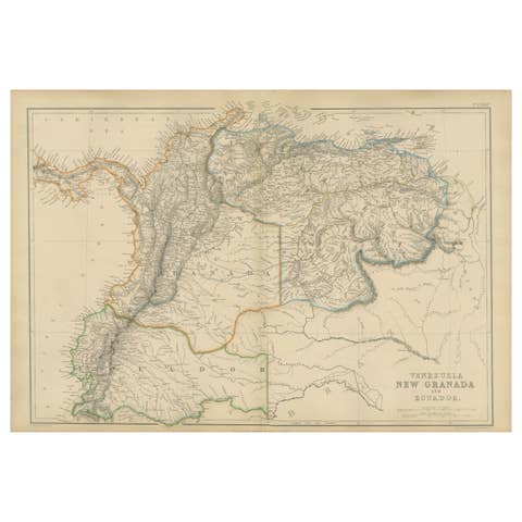
Venezuela, New Granada and Ecuador, Antique Map, Northern South America, 1860
1860 · € 340
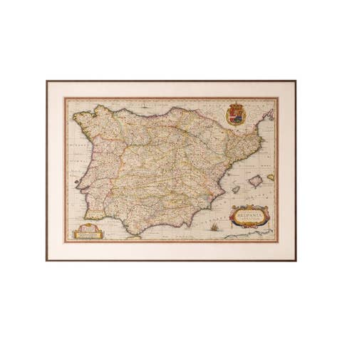
Antique Blaeu Map of Spain & Portugal “Hispania”, Cartouche, c.1642
1642 · € 3 650
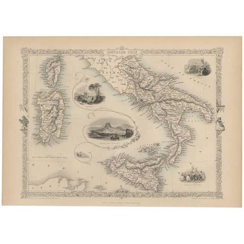
Antique Map of Southern Italy by J. Tallis, circa 1851
1851 · € 270
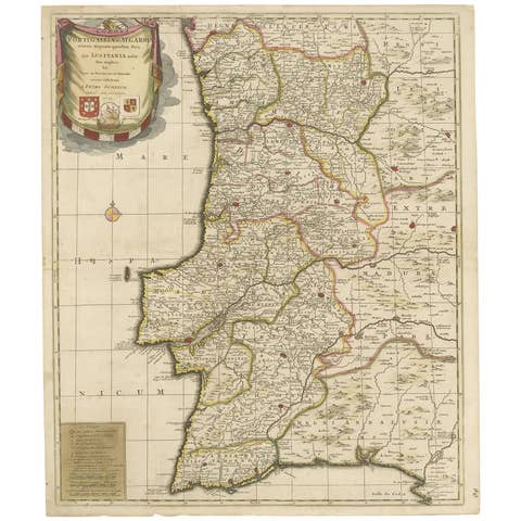
Antique Map of Portugal by P. Schenk, circa 1700
1700 · € 865

Antique Map of Northern Italy by Migeon, 1880
1880 · € 105
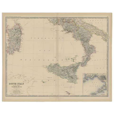
Antique Map of Southern Italy and Sardinia by Johnston, 1882
1882 · € 100
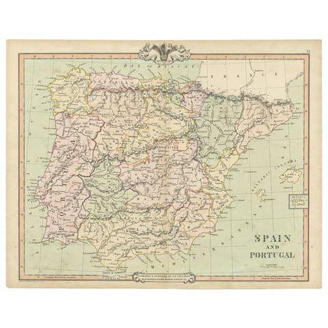
Antique Map of Spain and Portugal by Cruchley, 1854
1854 · € 120

Antique Map of the Island of Tinos by Dapper, 1687
1687 · € 175
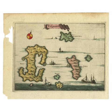
Antique Map of the Island of Kyra Panagia by Dapper, 1688
1688 · € 150
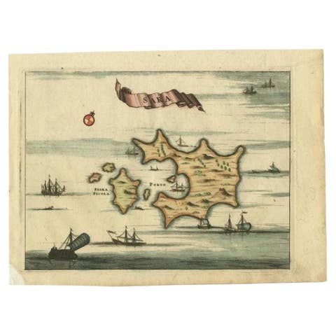
Antique Map of the Island of Psara by Dapper, 1688
1688 · € 150
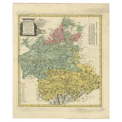
Antique Map of the Provinces of Madrid, Toledo and La Mancha by Homann, 1781
1781 · € 310
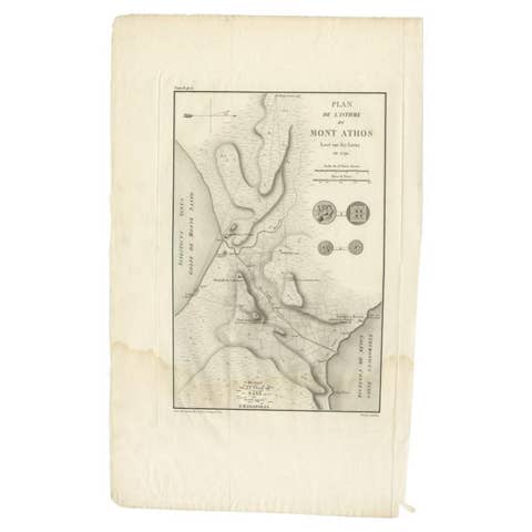
Antique Map of the Isthmus of Mount Athos by Choiseul-Gouffier, 1809
1809 · € 129
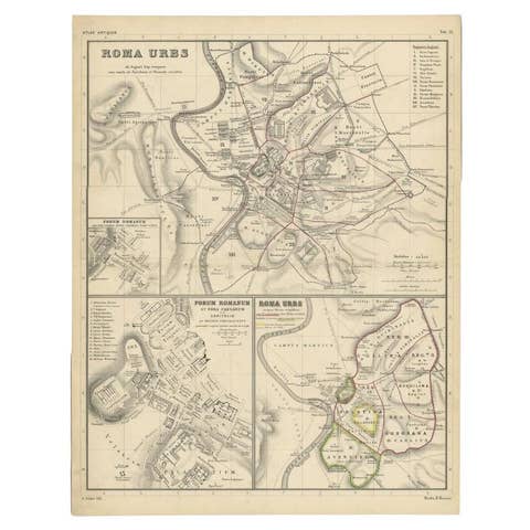
Detailed Original Antique Map of the Region of Rome in Italy, c.1870
1870 · € 240
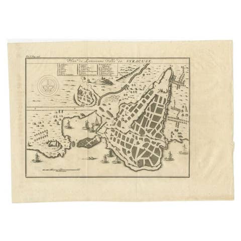
Antique Plan of Ancient Syracuse, cicily, Italy, 1740
1740 · € 290
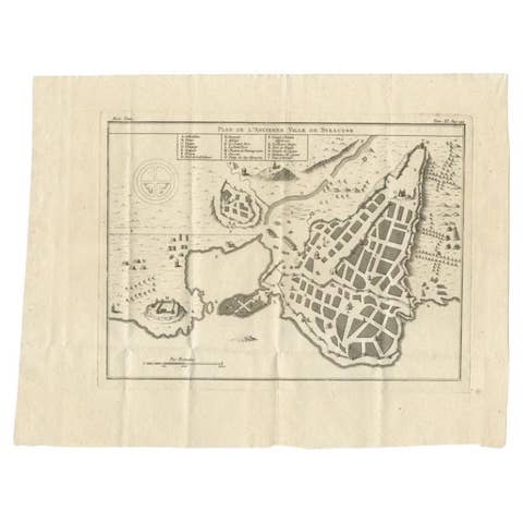
Antique Plan of Ancient Syracuse, Plan of ancient Syracuse, Sicily, Italy
€ 180

Antique 1842 Map of Turkey and Greece by Pierre M. Lapie, 68x50.5 cm
1842 · € 248
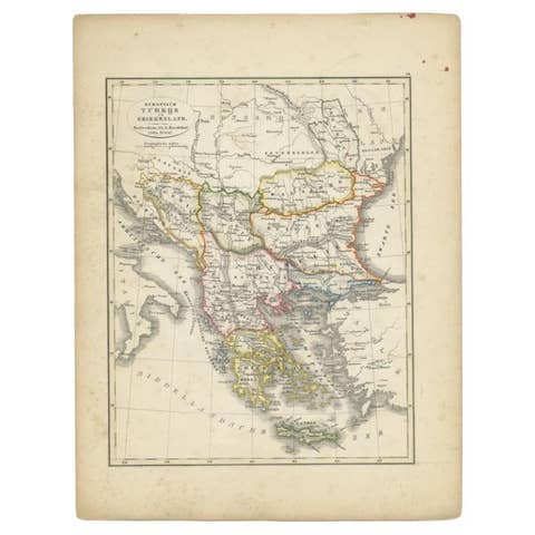
Antique Map of Turkey and Greece, 1852
1852 · € 120
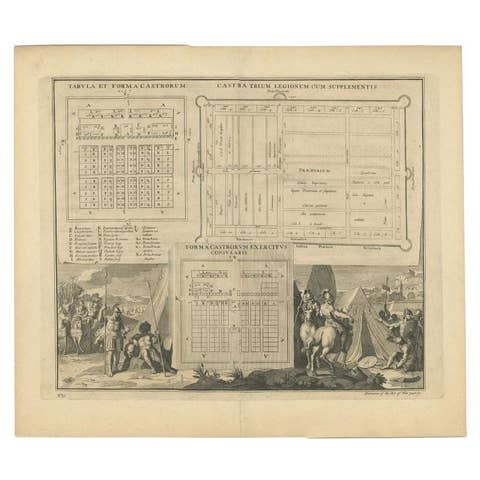
Antique Roman Battle Plan of a Camp by Duncan, c.1753
1753 · € 290
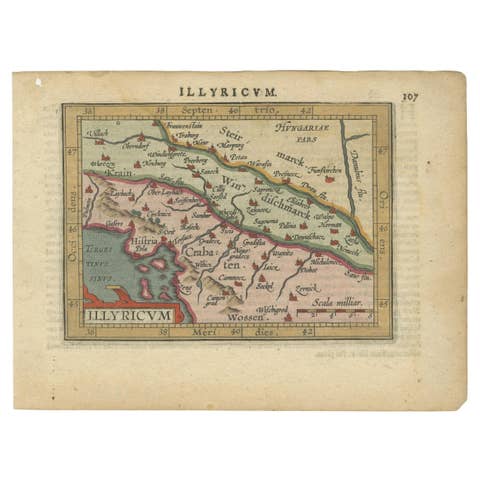
Antique Miniature Map of the Roman Province of Illyricum 'Dalmatia', 1612
1612 · € 340
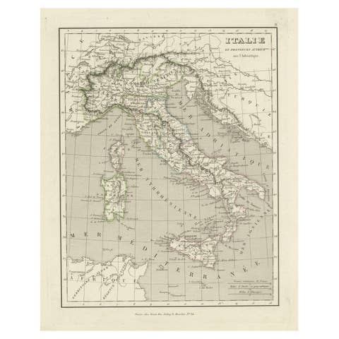
Antique Map of Italy and Other Regions Near the Adriatic Sea
€ 170
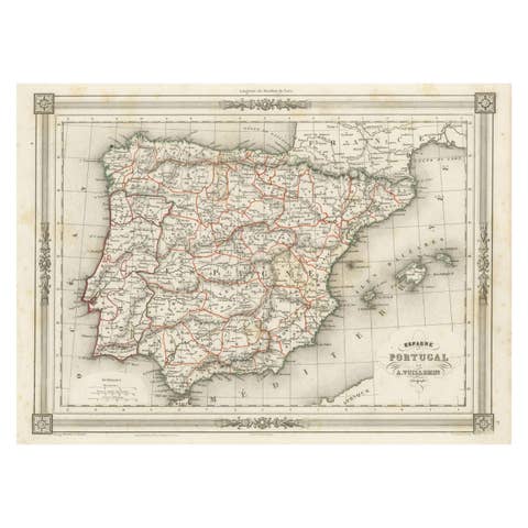
Antique Map of Spain and Portugal, with Frame Style Border
€ 120
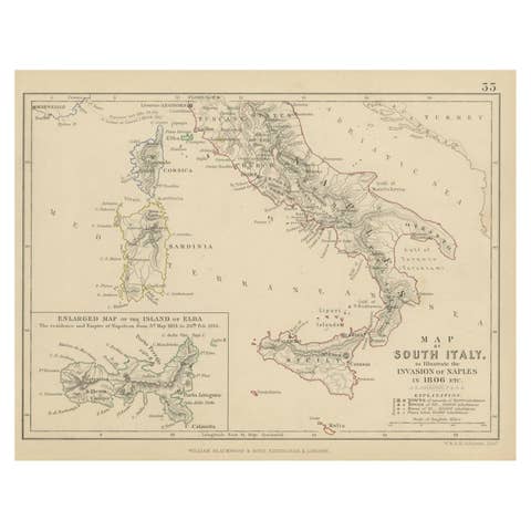
Antique Map of South Italy, illustrating the Invasion of Naples in, 1806
1806 · € 190
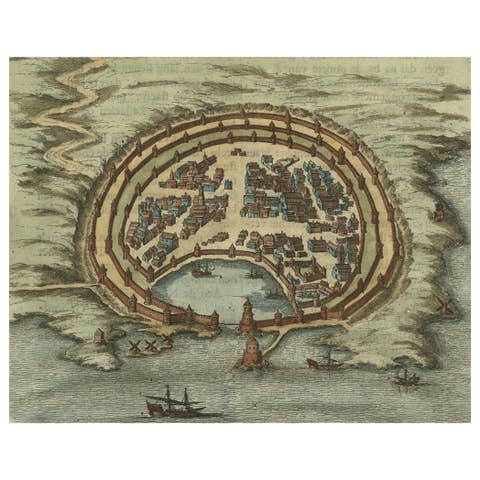
Antique Engraving with a Plan of Rhodes, Greece, 1688
1688 · € 450

Antique Map of Spain including the Balearic Islands
€ 380
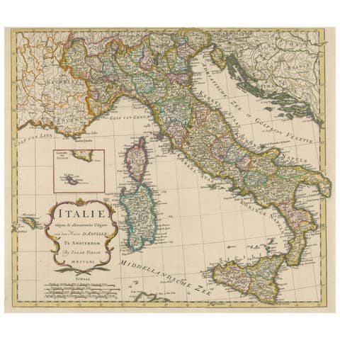
Detailed Antique Map of Italy and surrounding Islands, 1761
1761 · € 620

Antique Plan of the Fortifications of Lleida, Spain
€ 440
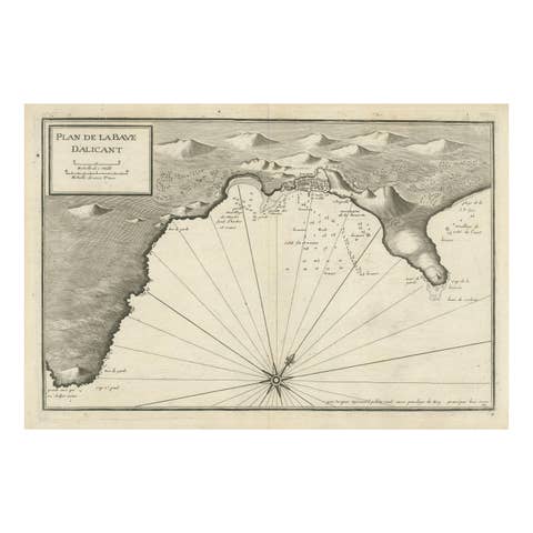
Antique Plan of Alicante Bay, Spain
€ 540
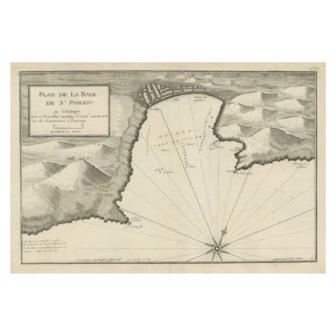
Large Antique Plan of St. Philiou Bay or Sant Feliu Catalonia Spain, circa 1746
1746 · € 540
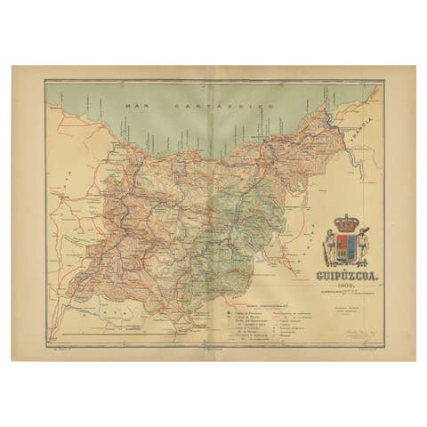
Gipuzkoa 1902: A Cartographic Snapshot of the Basque Coastline and Highlands
1902 · € 360
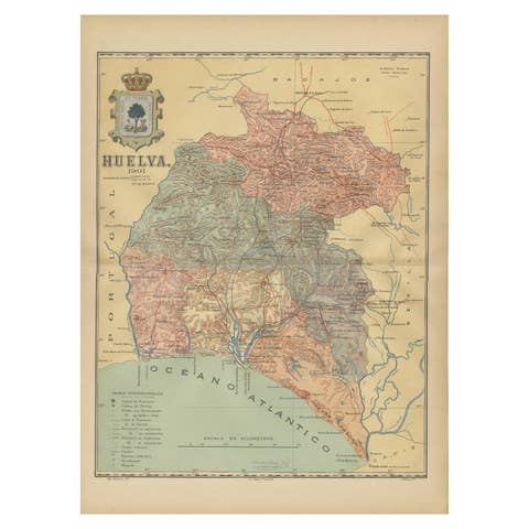
Huelva 1901: A Cartographic Presentation of Andalusia's Atlantic Frontier
1901 · € 360
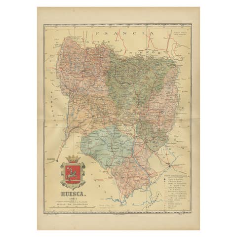
Huesca 1901: A Geographic Overview of Aragon's Northern Frontier in Spain
1901 · € 320
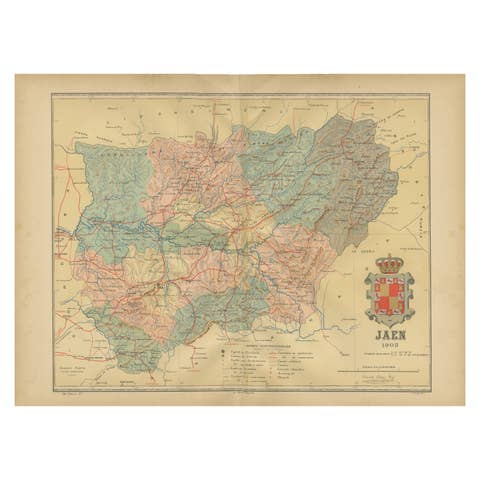
Jaén 1902: A Cartographic Depiction of Andalusia's Olive Heartland
1902 · € 290

León 1903: A Cartographic Detailing of Castilla y León's Mountainous Province
1903 · € 290