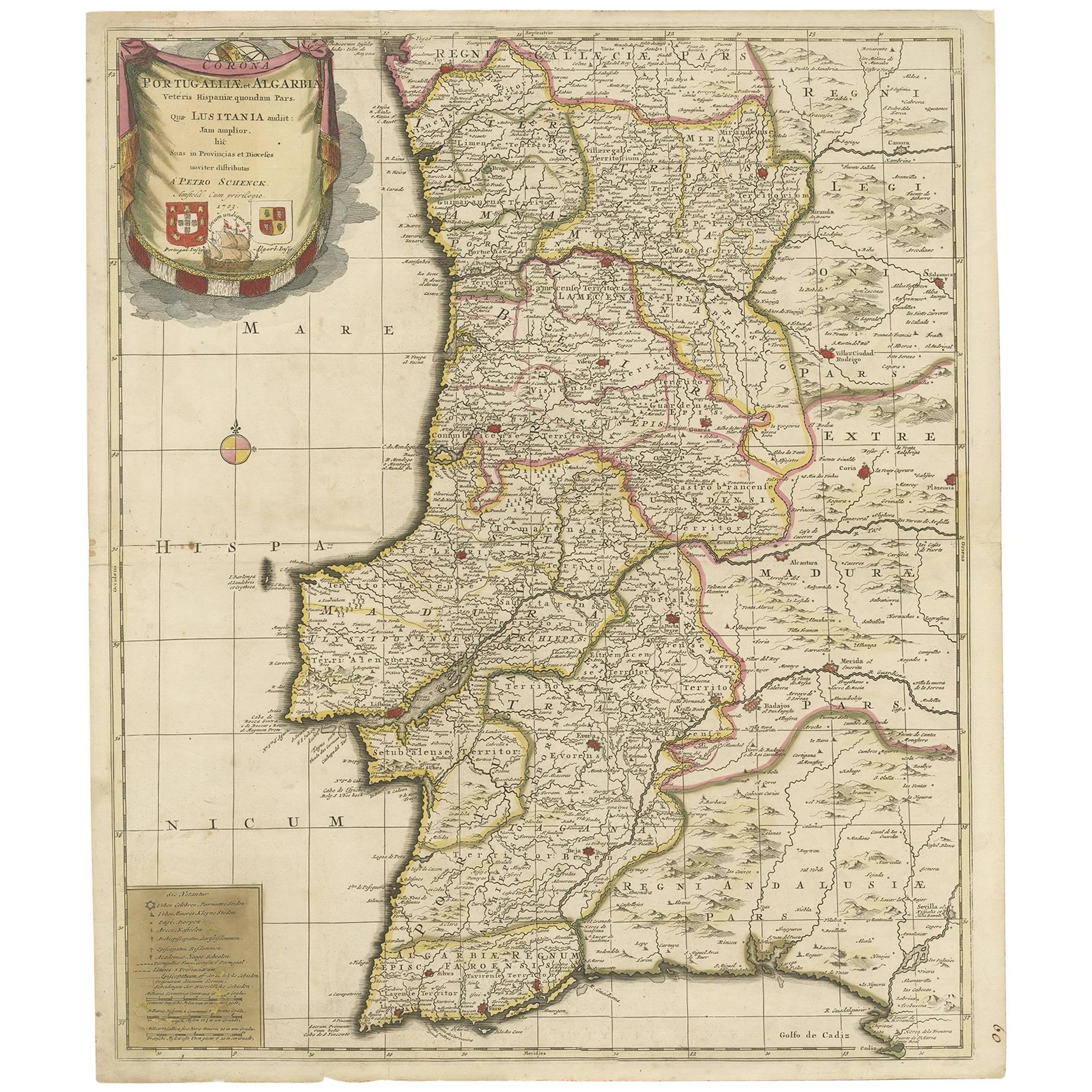
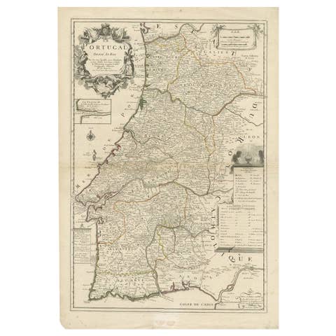
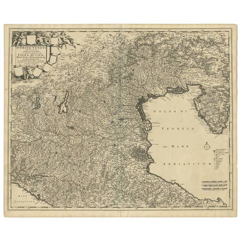
One of a kind: this is the sheet in the photographs. Ships from Langweer, the Netherlands.
Date
1700
Sheet size
61.5 × 52.8 cm (24.2 × 20.8 in)
Condition
Good
Reference
BG-06794
Condition
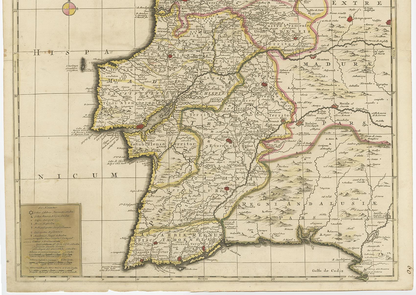
Minor marginal tears. Please study image carefully.
About this sheet
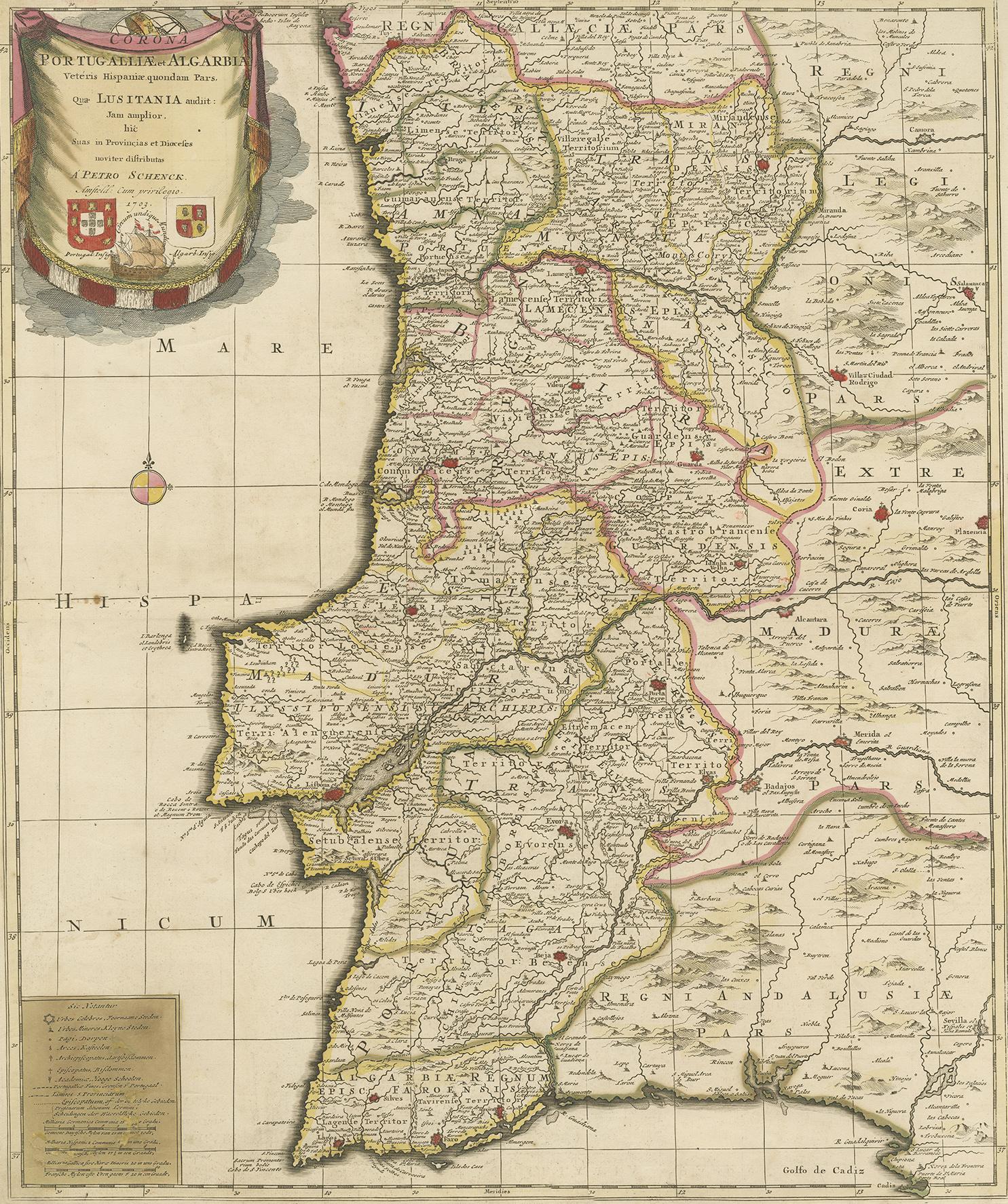
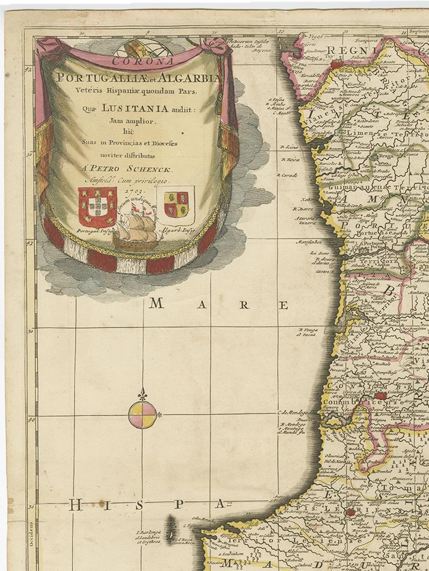
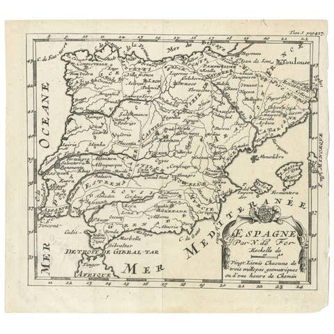
Antique map titled 'Portugalliae et Algarbia'. Striking example of Schenk's rare map of Portugal, with the coats of arms of Portugal, Algarbia and a Spanish sailing vessell in the cartouche.
Peter Schenk the Elder (1660-1711) moved to Amsterdam in 1675 and began to learn the art of mezzotint. In 1694 he bought some of the copperplate stock of the mapmaker Johannes Janssonius, which allowed him to specialize in the engraving and printing of maps and prints. He split his time between his Amsterdam shop and Leipzig and also sold a considerable volume of materials to London.
Peter Schenk the Elder had three sons. Peter the Younger carried on his father’s business in Leipzig while the other two, Leonard and Jan, worked in Amsterdam. Leonard engraved several maps and also carried on his father’s relationship with engraving plates for the Amsterdam edition of the Histoire de l'Académie Royale des Sciences.