About this sheet
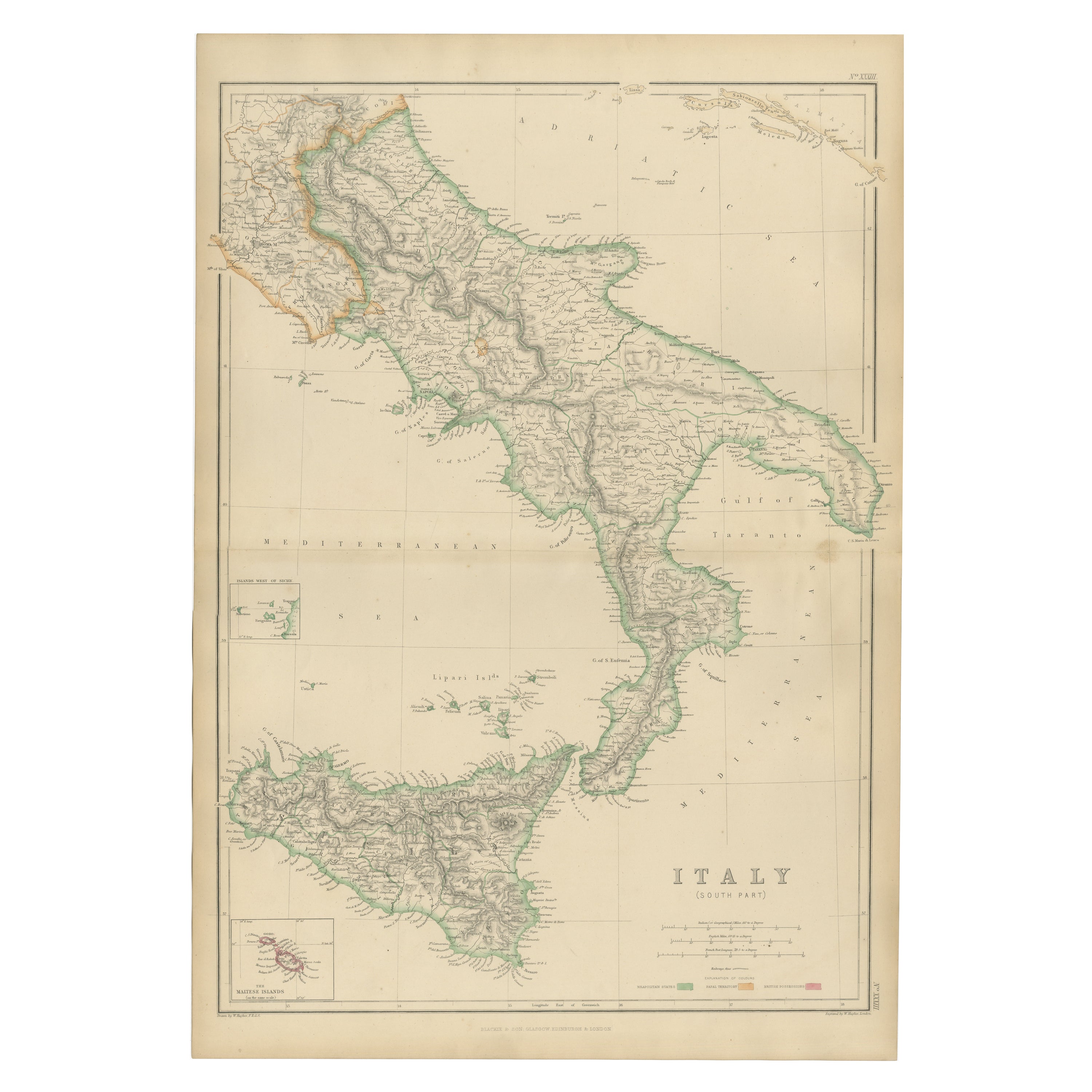
Italy (South Part), Sicily and Malta, Antique Hand-Colored Map, 1860
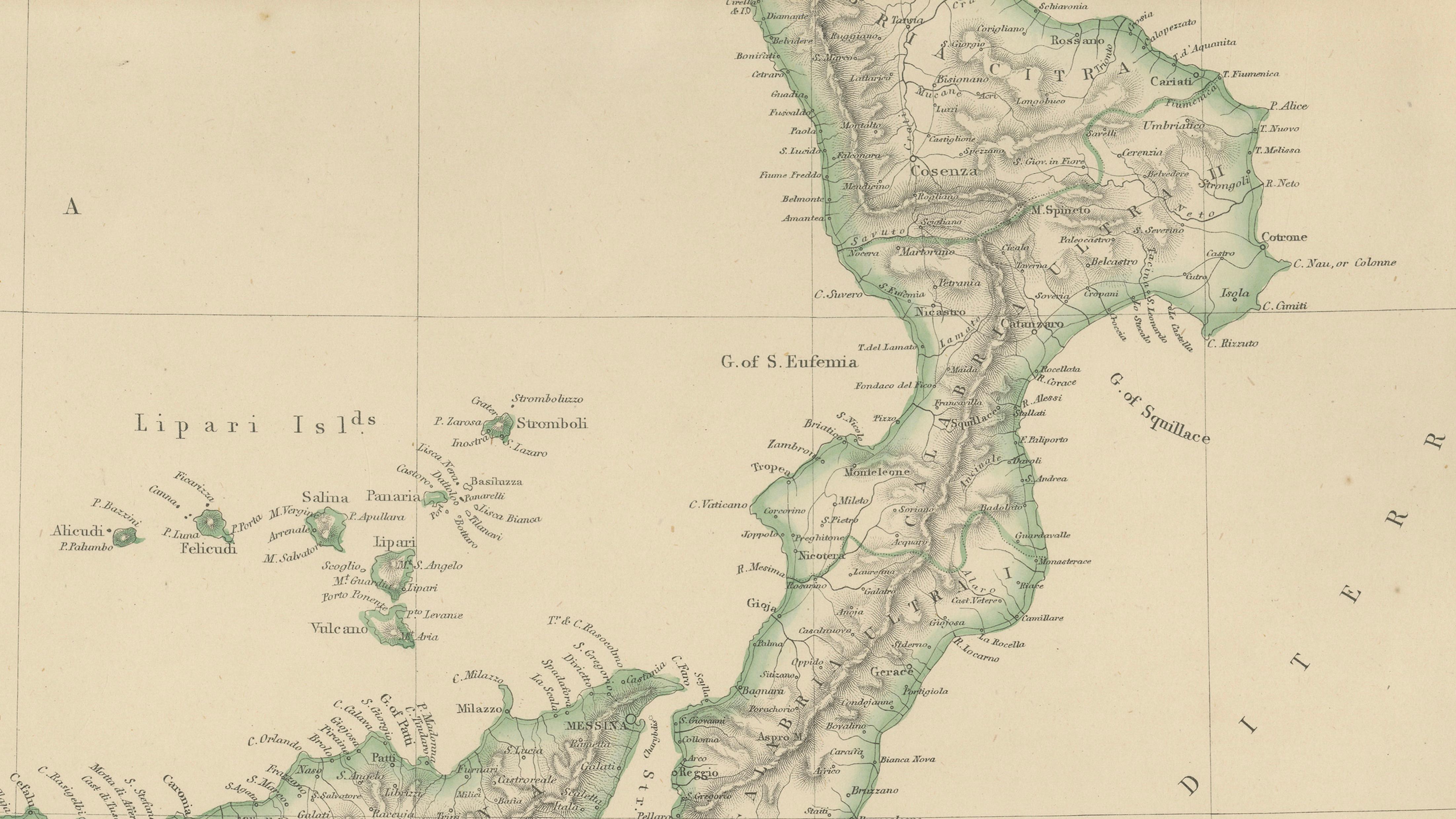
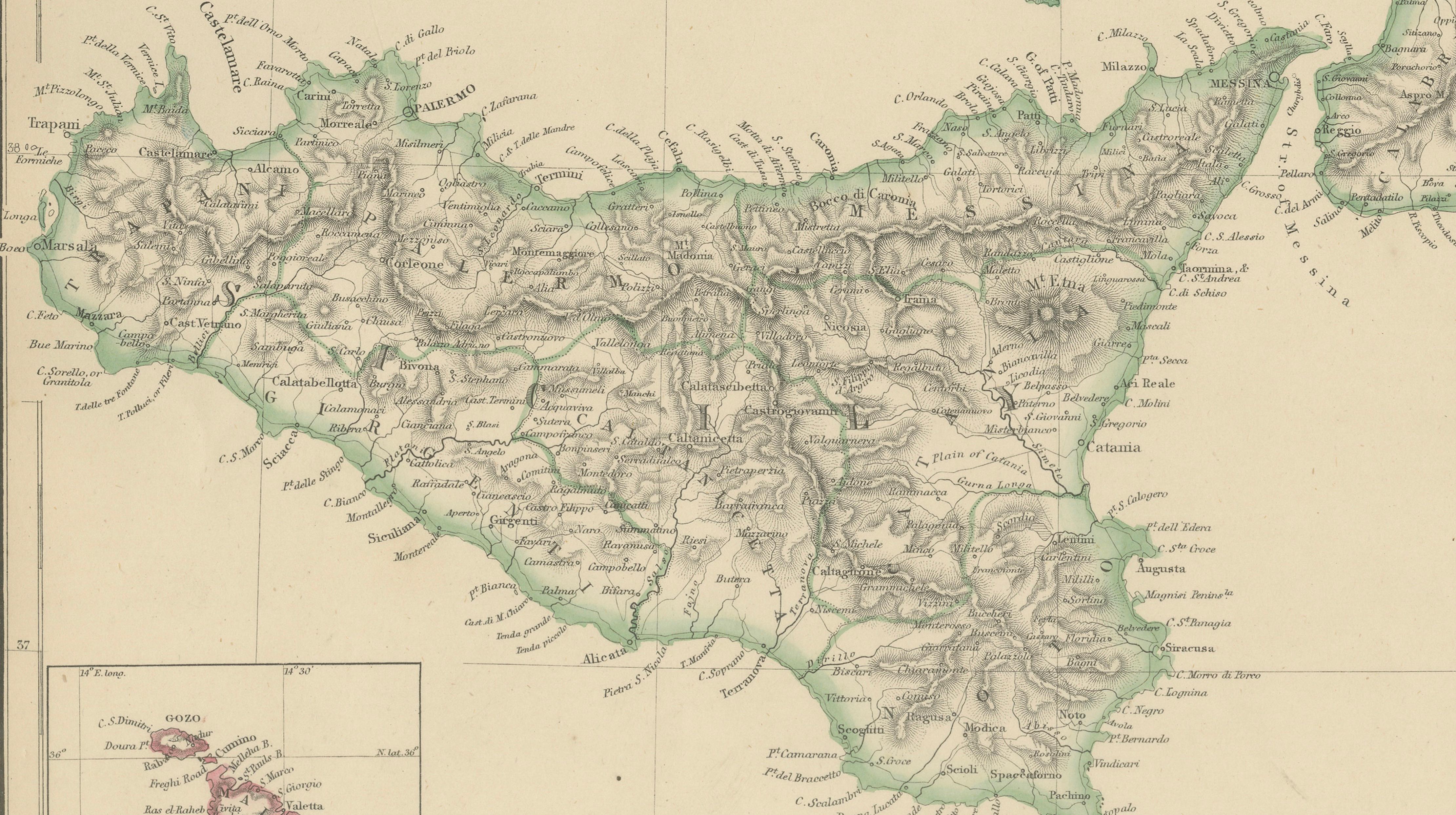
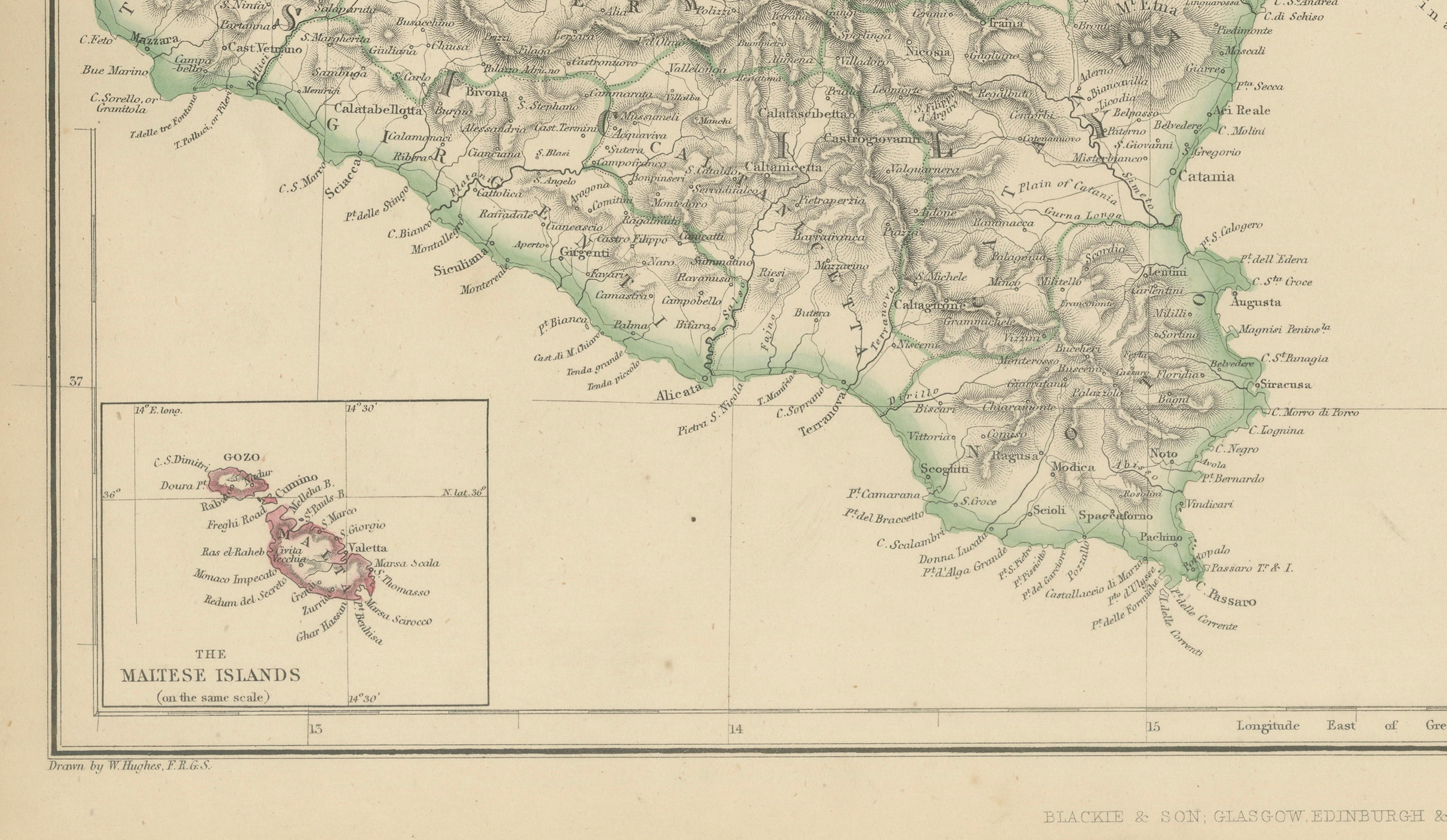
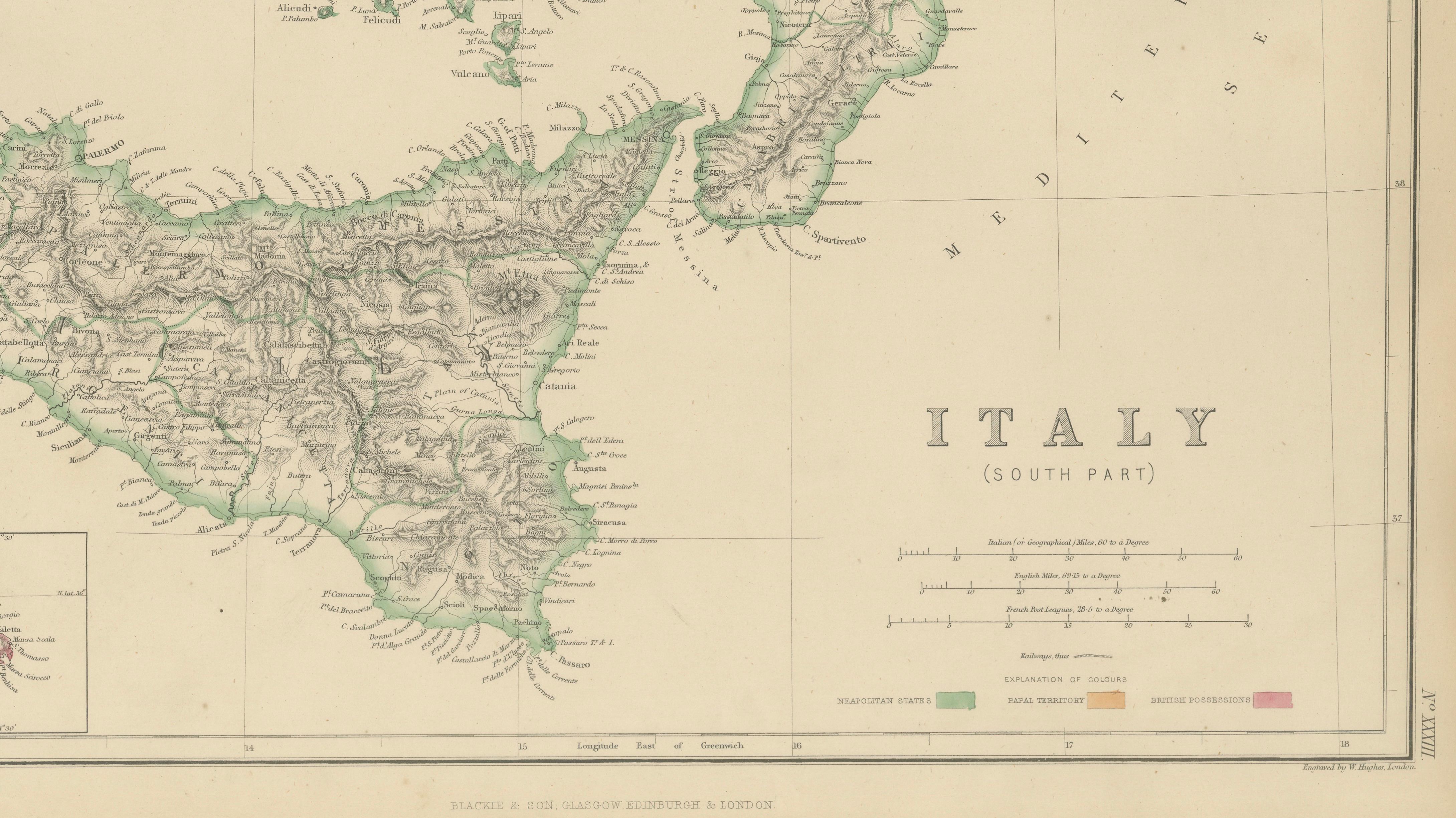
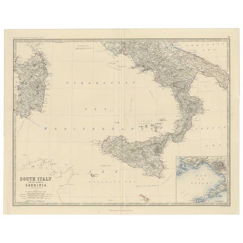
This original antique map titled Italy (South Part) presents a finely detailed mid-19th-century depiction of southern Italy, Sicily, and the surrounding Mediterranean regions. Published in 1860 by W. G. Blackie as part of The Imperial Atlas of Modern Geography, the map reflects British cartographic scholarship during a pivotal moment in Italian history, just as the peninsula was moving toward unification.
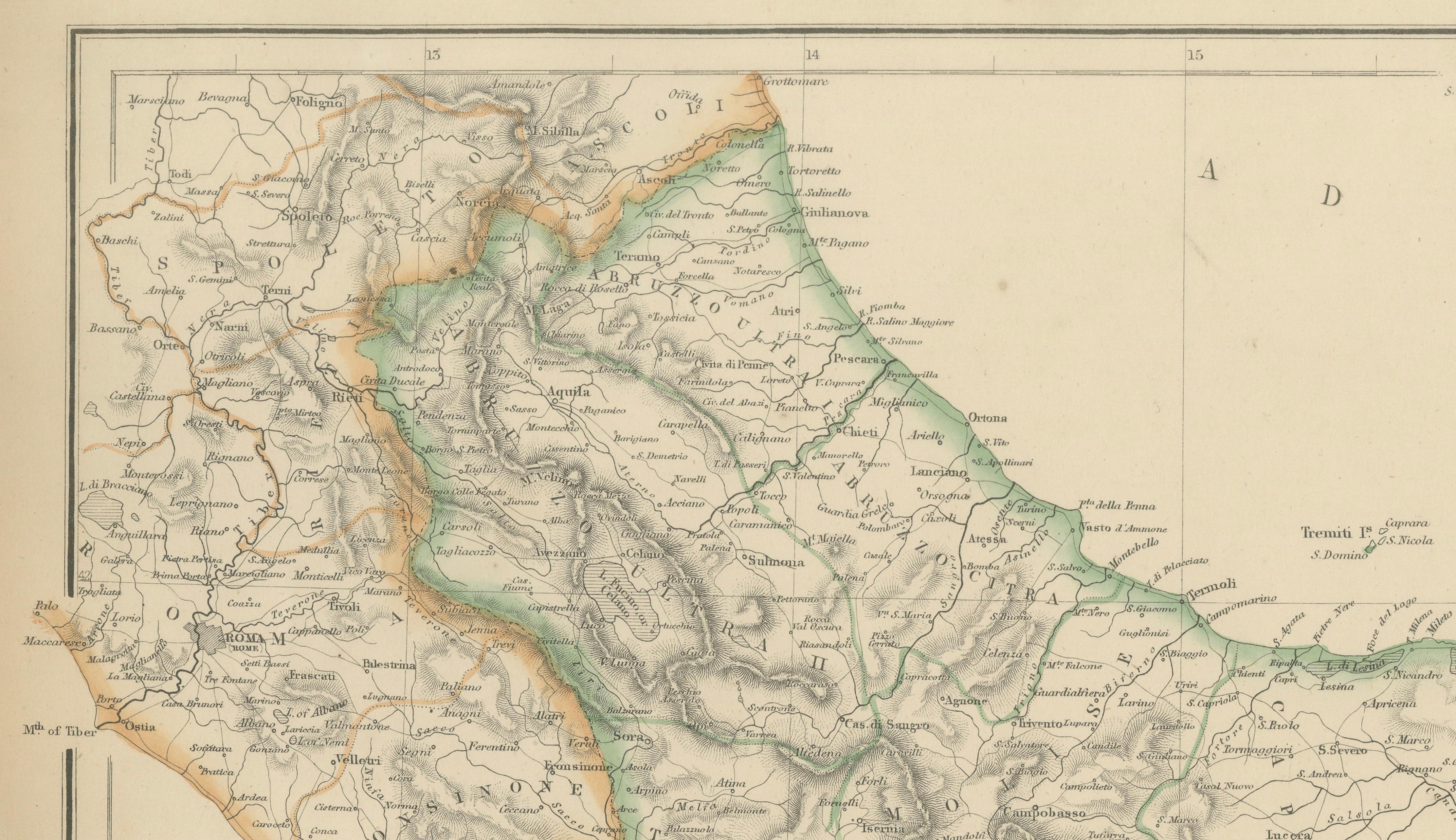
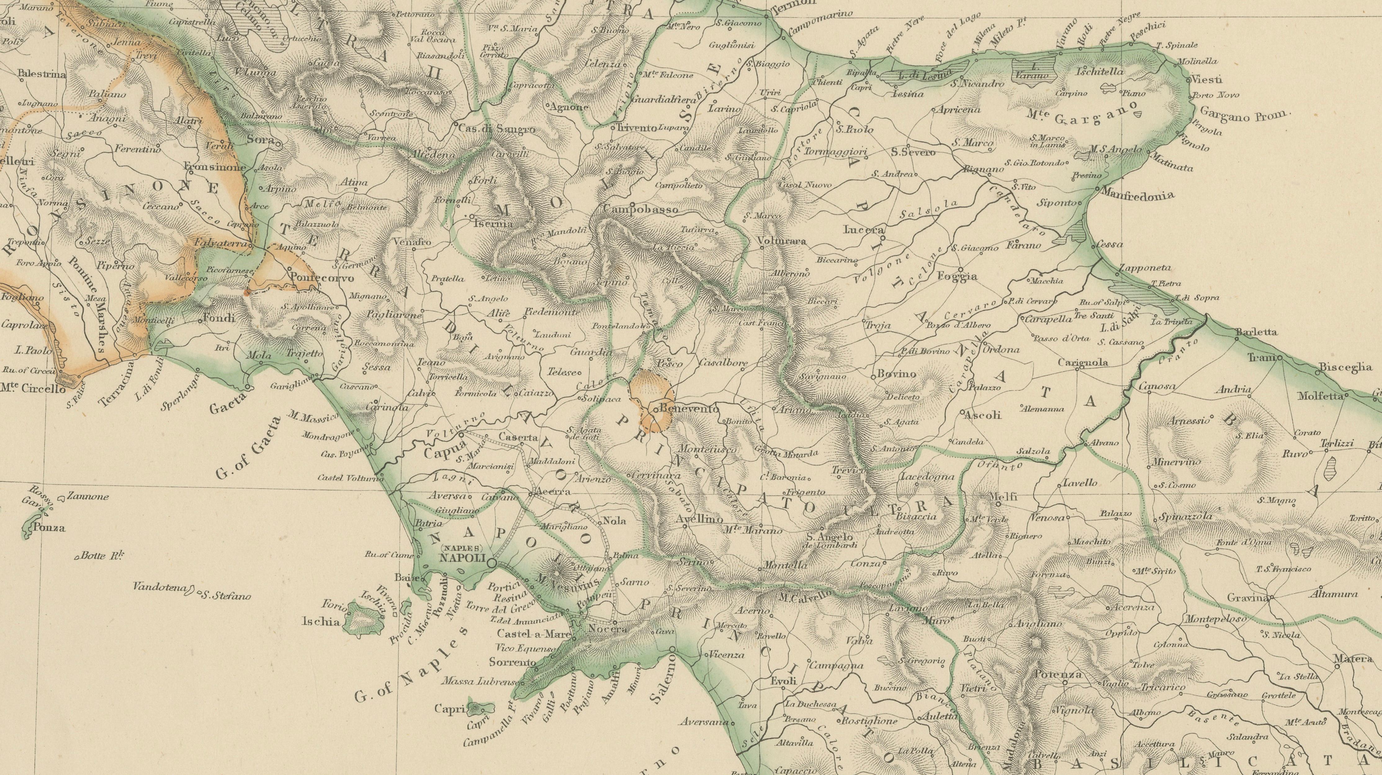
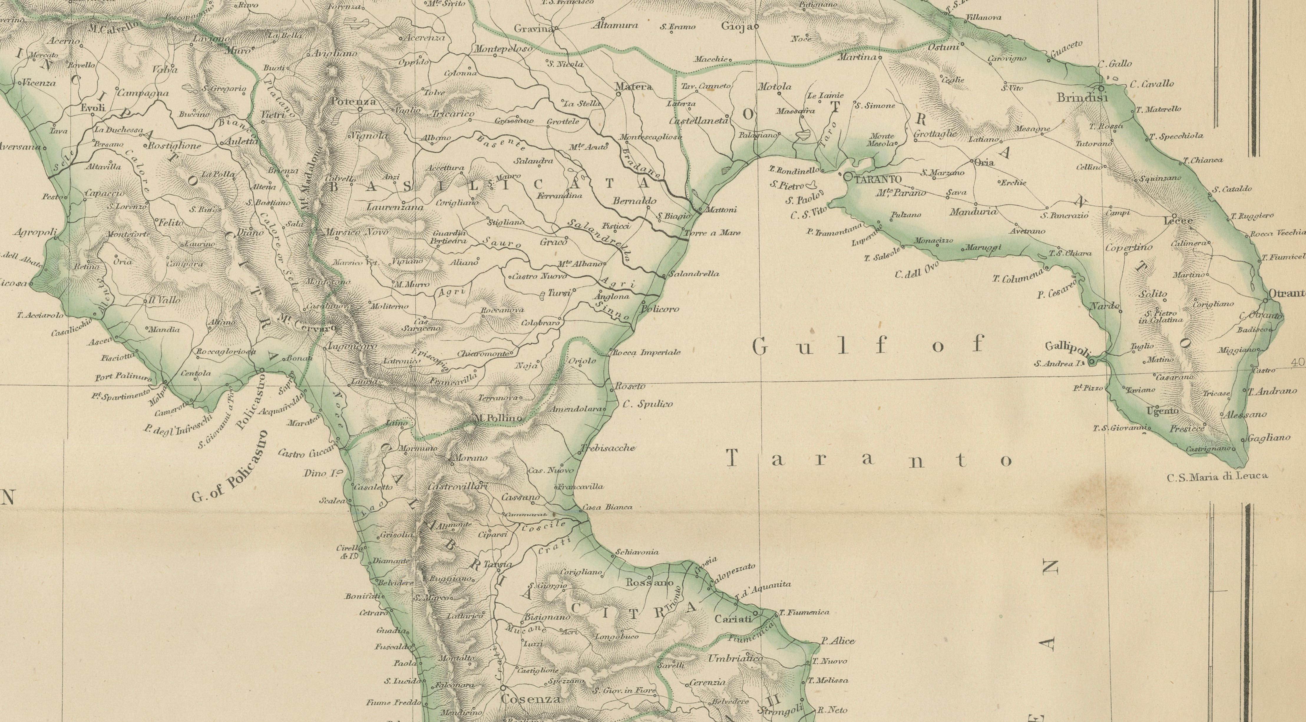
The map covers southern mainland Italy from Naples and Calabria down to the toe of the peninsula, with Sicily shown prominently below, including Mount Etna and the island’s rugged interior relief. The Adriatic and Mediterranean coastlines are crisply engraved, while shaded relief gives clear definition to mountain ranges such as the Apennines. Rivers, roads, towns, and regional divisions are densely labeled, offering a rich and highly legible geographic record of the period.
Inset maps include the Lipari Islands and the Maltese Islands, extending the map’s scope and emphasizing the strategic and maritime importance of the central Mediterranean. Original hand coloring highlights political boundaries and enhances visual clarity without overpowering the engraved detail, a hallmark of Blackie’s refined atlas production.
Beyond its geographic value, this map has strong decorative appeal. The elegant proportions, balanced composition, and warm tones of aged paper make it well suited to both classic and contemporary interiors. It is equally desirable for collectors of Italian history, Grand Tour material, and 19th-century European cartography.
Condition report:
Good antique condition. Light overall age toning with minor scattered foxing, mostly confined to the margins. Original fold as issued. No significant tears or losses; image remains clean and well defined.
Framing tips:
A soft ivory or light parchment mat will complement the hand coloring and engraved relief. A dark walnut, black, or restrained antique gilt frame works particularly well, lending the piece a scholarly yet decorative presence.
Technique: Copper engraving with original hand coloring
Maker: W. G. Blackie, Scotland, 1860
Keywords:
Italy south map, Southern Italy, antique Italy map, 1860 map, Sicily map, Malta map, Mediterranean map, Italian peninsula, Naples, Napoli, Calabria, Apulia, Puglia, Basilicata, Campania, Salerno, Reggio Calabria, Strait of Messina, Sicily island, Palermo, Catania, Mount Etna, Lipari Islands, Aeolian Islands, Maltese Islands, Malta, Gozo, Mediterranean Sea, Adriatic Sea, Tyrrhenian Sea, Ionian Sea, Italian unification era, Risorgimento map, 19th century Italy, Victorian atlas, British cartography, Imperial Atlas, W G Blackie, Blackie atlas, hand colored map, copper engraved map, antique wall map, European geography, historical Italy, Grand Tour map, classical Italy, Roman heritage regions, coastal Italy, mountain relief map, Apennine Mountains, historic cartography, collector map, interior design map, library decor, study wall art, educational atlas map