Maps & PrintsBartele Gallery · Langweer
Home / Antique Maps / Europe / Southern Europe

Southern Europe · 17th century

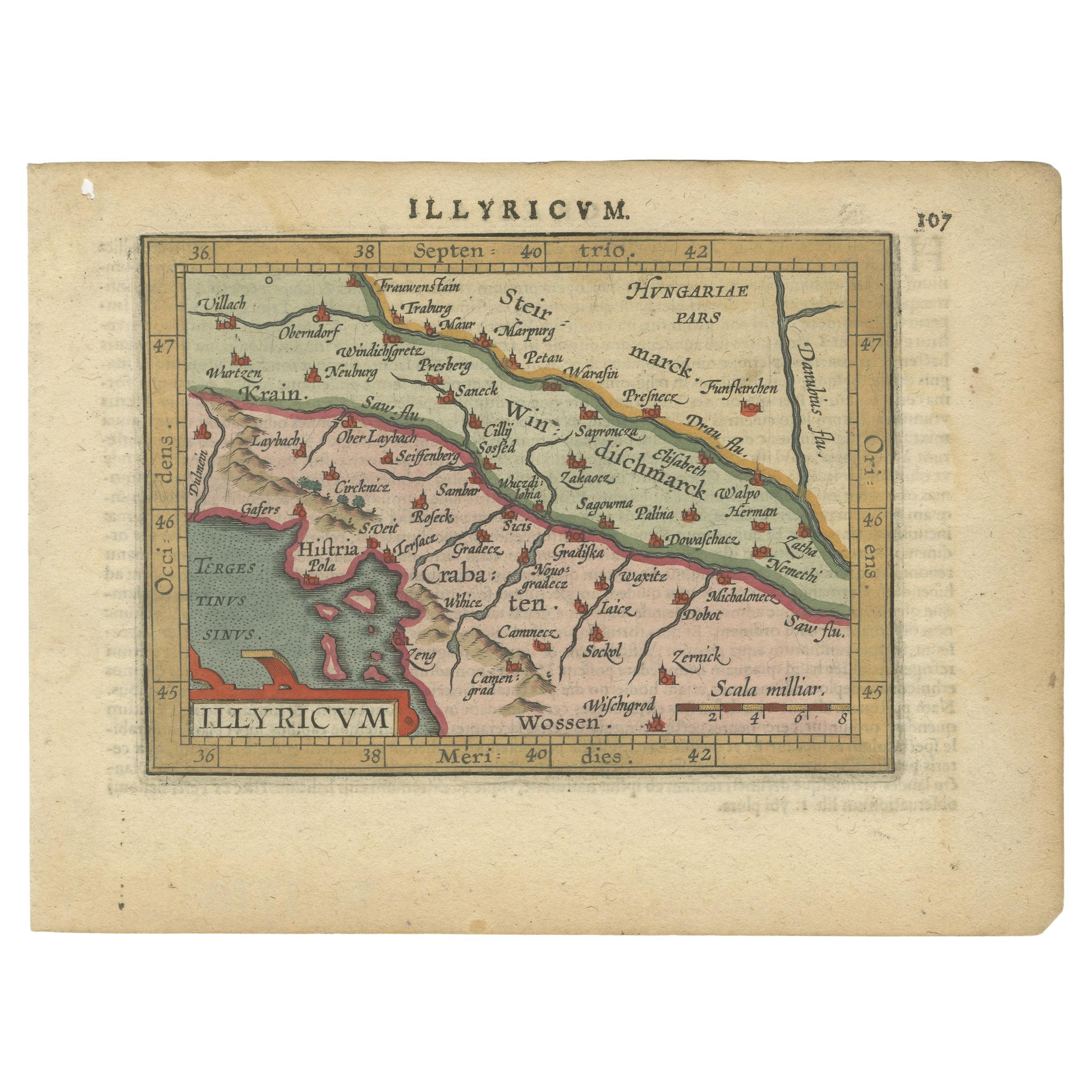
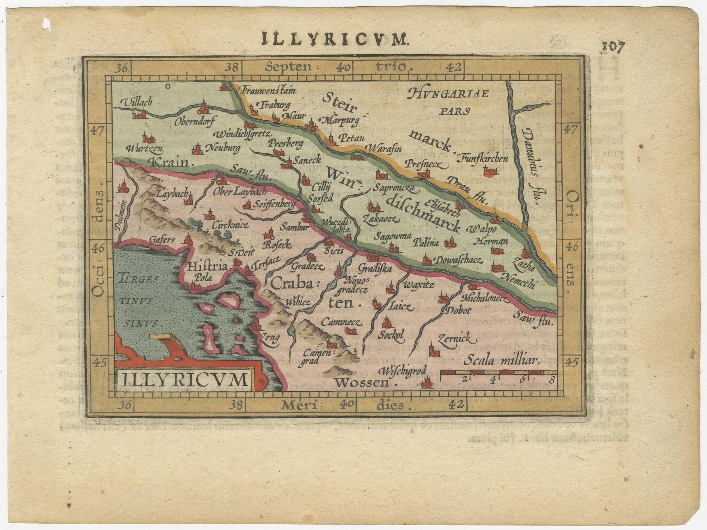
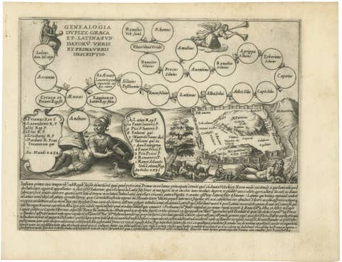
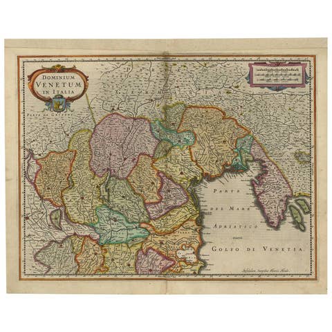
Antique Miniature Map of the Roman Province of Illyricum 'Dalmatia', 1612

€ 340

One of a kind: this is the sheet in the photographs. Ships from Langweer, the Netherlands.

Date
1612
Mapmaker / artist
Abraham Ortelius
Sheet size
12.6 × 16.8 cm (5.0 × 6.6 in)
Condition
Good
Reference
BG-13220

Condition

Age-related toning. Shows some soiling and staining. Small defect upper left. Latin text on verso. Please study image carefully.
About this sheet

Antique miniature map titled 'Illyricum'. Original small map of Illyricum. The Roman province of Illyricum stretched from the Drilon River (the Drin, in modern Albania) in the south to Istria (modern Slovenia and Croatia) in the north and to the Savus (Sava) River in the east; its administrative centre was Salonae (near present-day Split) in Dalmatia. With the extension of the Roman Empire along the Danube River valley, Illyricum was divided between the provinces of Dalmatia and Pannonia.

This print originates from 'Epitome theatri orbis terrarum' by A. Ortelius. Published 1612.

More from Southern Europe

Ask about this sheet

Antique Miniature Map of the Roman Province of Illyricum 'Dalmatia', 1612
1612 · Ref. BG-13220 · € 340
We reply by email, usually within one working day.