Maps & PrintsBartele Gallery · Langweer
Home / Antique Maps / Europe / Southern Europe

Southern Europe

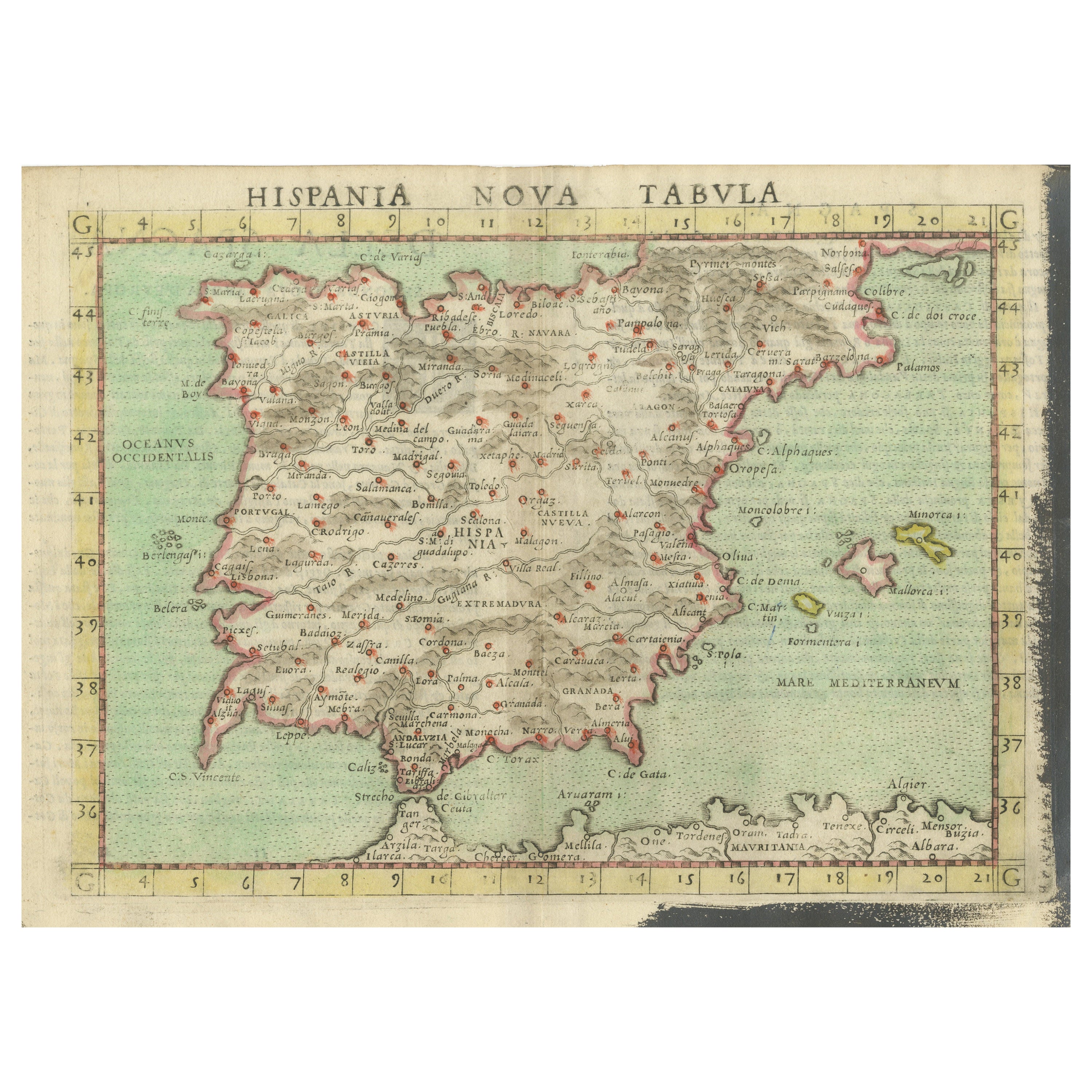
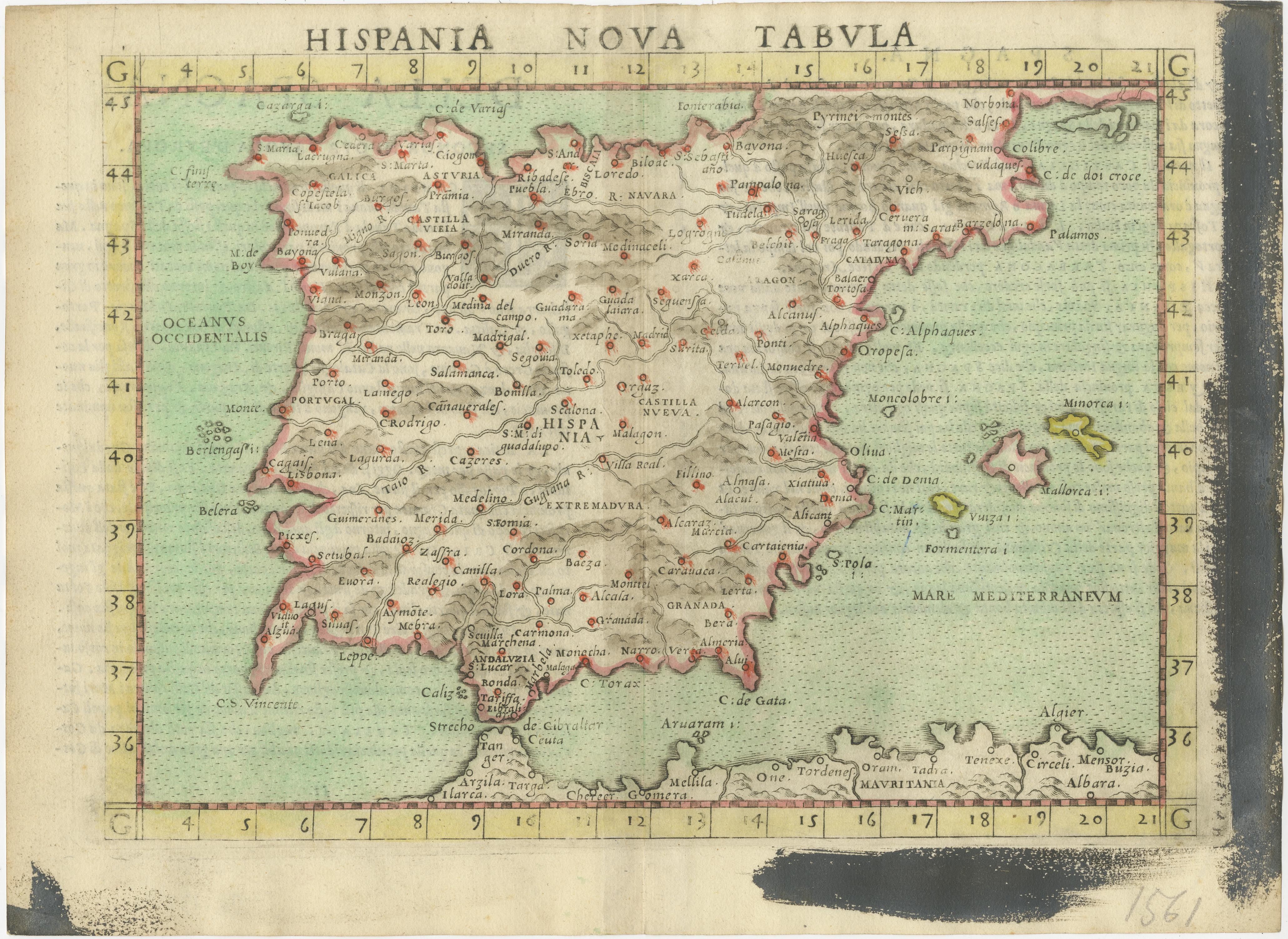
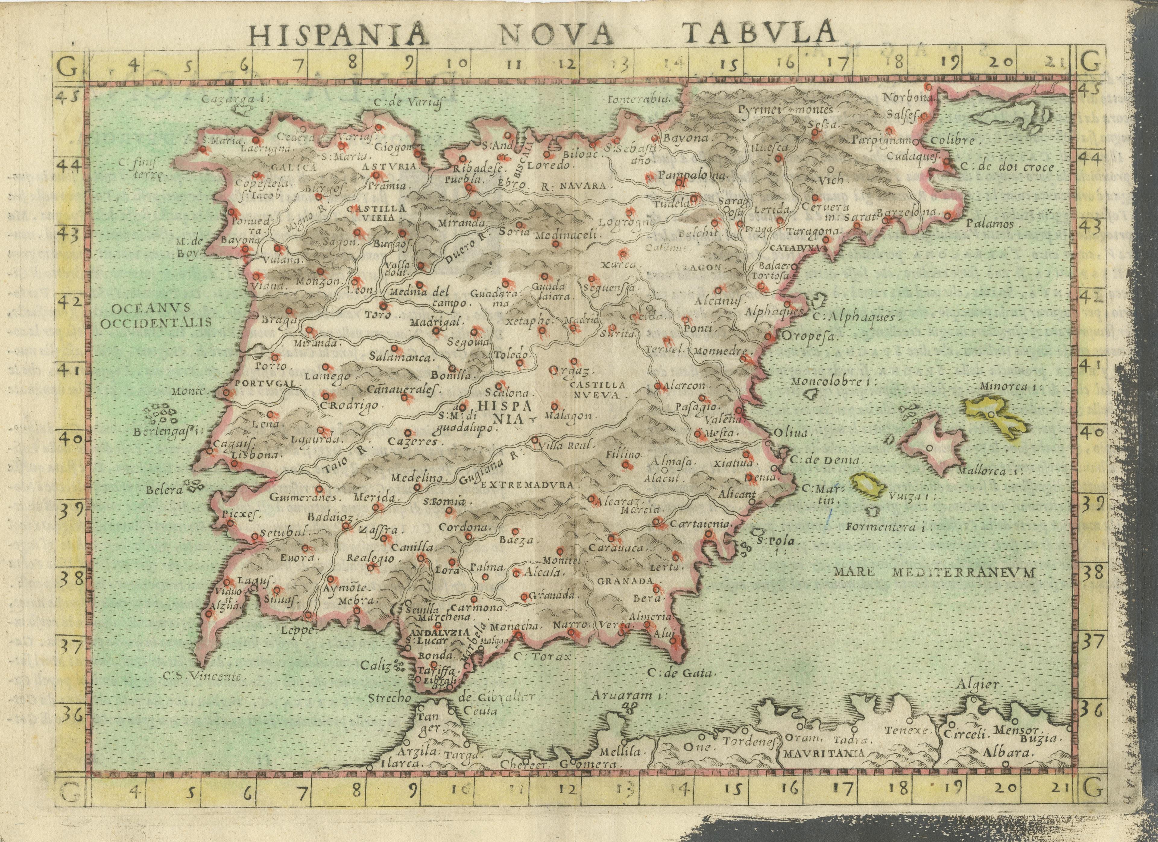
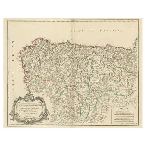
Antique Map of Spain including the Balearic Islands

€ 380

One of a kind: this is the sheet in the photographs. Ships from Langweer, the Netherlands.

Sheet size
21 × 28.8 cm (8.3 × 11.3 in)
Condition
Good
Reference
BG-13534-4

Condition

General age-related toning. Original folding line. Shows strong black ink staining in margins. Italian text on verso. Please study image carefully.

About this sheet

Antique map titled 'Hispania Nova Tabula'. Ruscelli's map of Spain, including the Balearic Islands. This map originates from 'Espositione & introduttioni universali di Gir. Ruscelli sopra tutta la Geografia di Tolomeo (..)' published by Girolamo Ruscelli, 1561.

Girolamo Ruscelli (1500-1566) was a cartographer, humanist, and scholar from Tuscany. Ruscelli was a prominent writer and editor in his time, writing about a wide variety of topics including the works of Giovanni Boccaccio and Francesco Petrarch, Italian language, Italian poetry, medicine, alchemy, and militia. One of his most notable works was a translation of Ptolemy’s Geographia which was published posthumously.

More from Southern Europe

Ask about this sheet

Antique Map of Spain including the Balearic Islands
Ref. BG-13534-4 · € 380
We reply by email, usually within one working day.