About this sheet
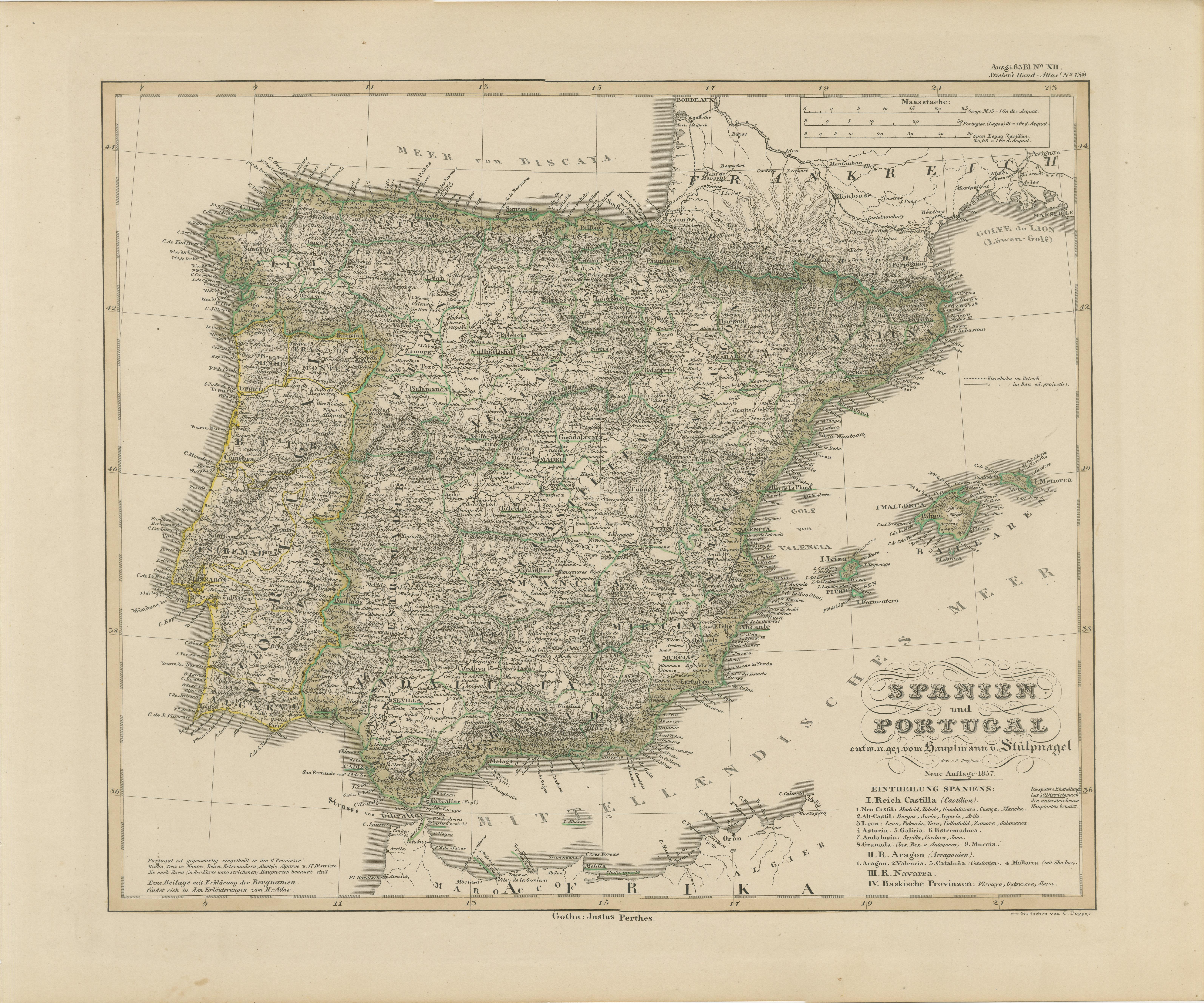
Antique Map of Spain and Portugal – Hand-Colored Engraving by Stülpnagel, 1857
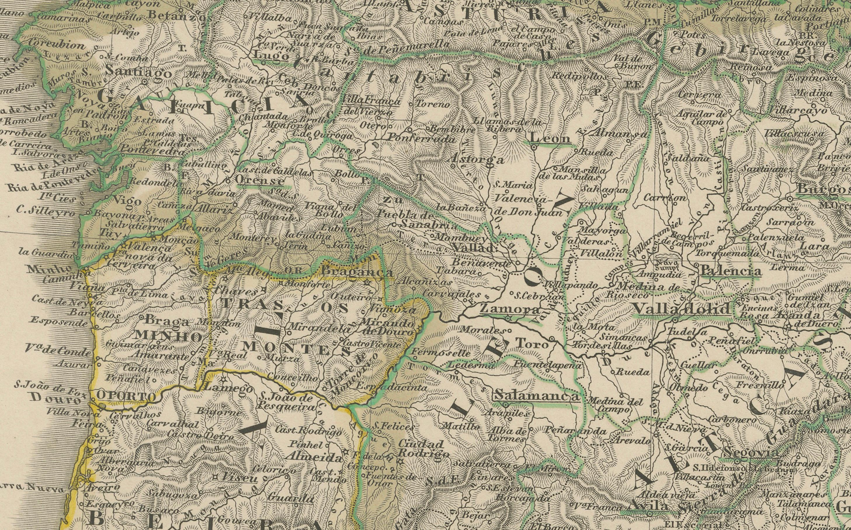
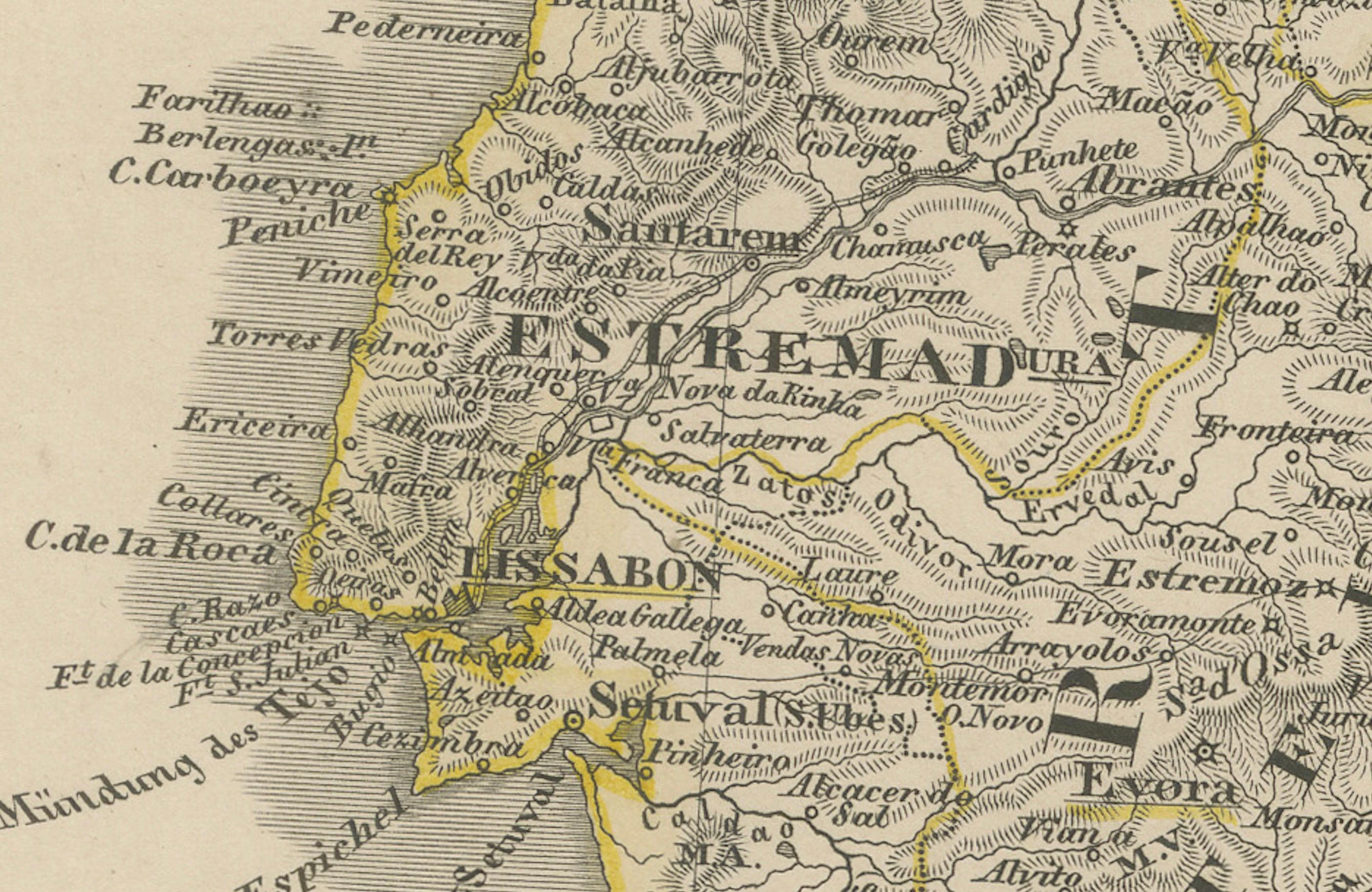
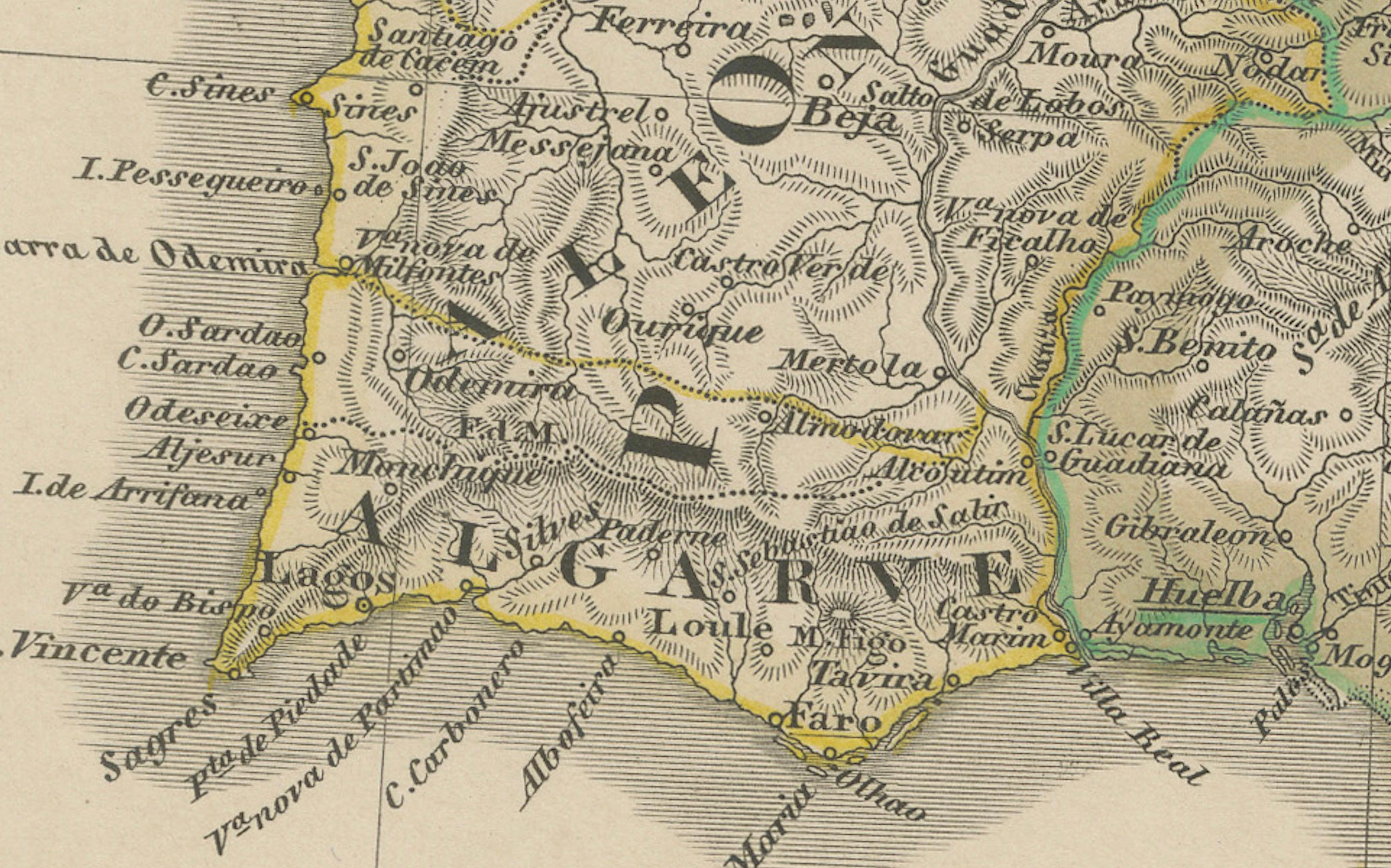
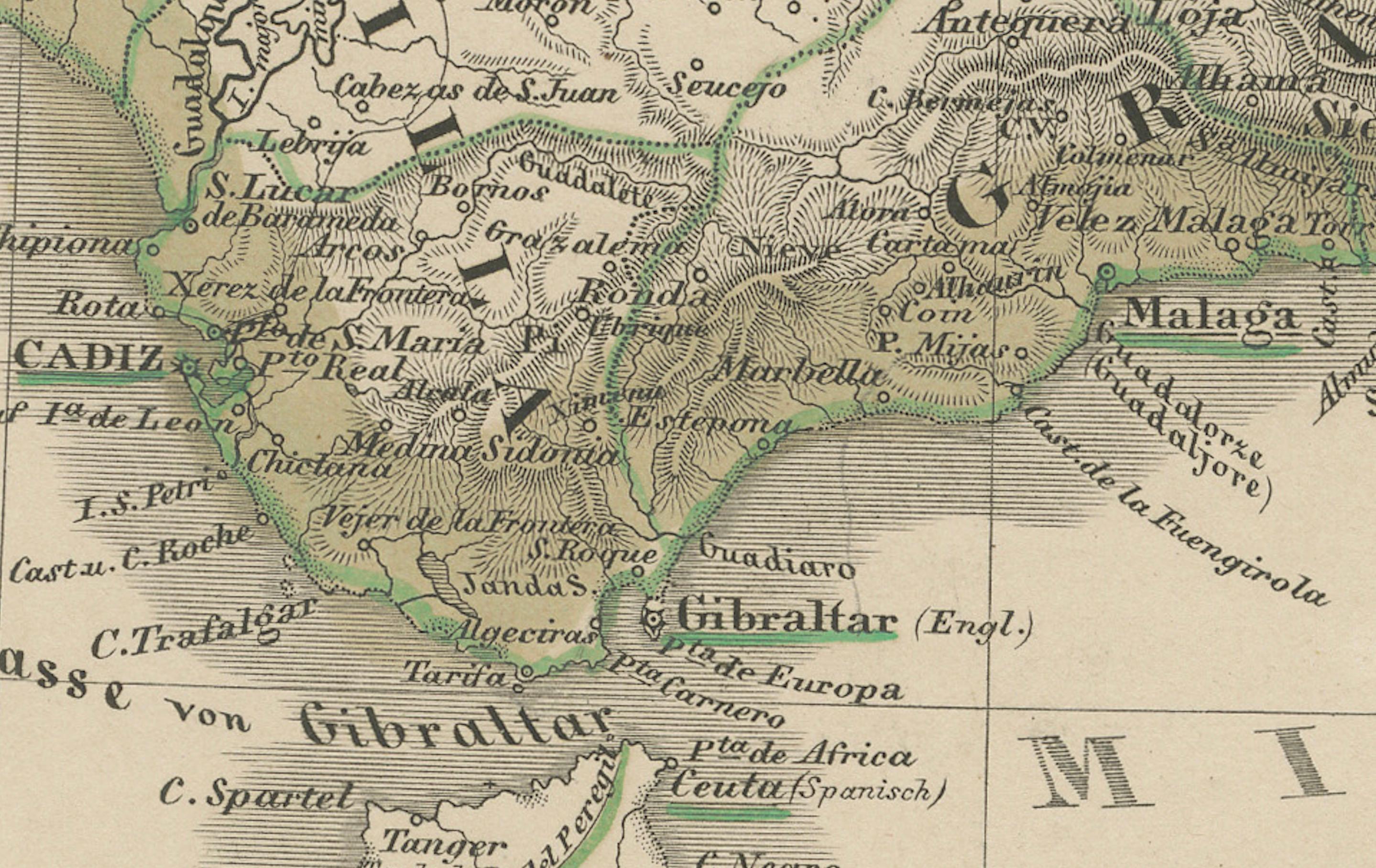
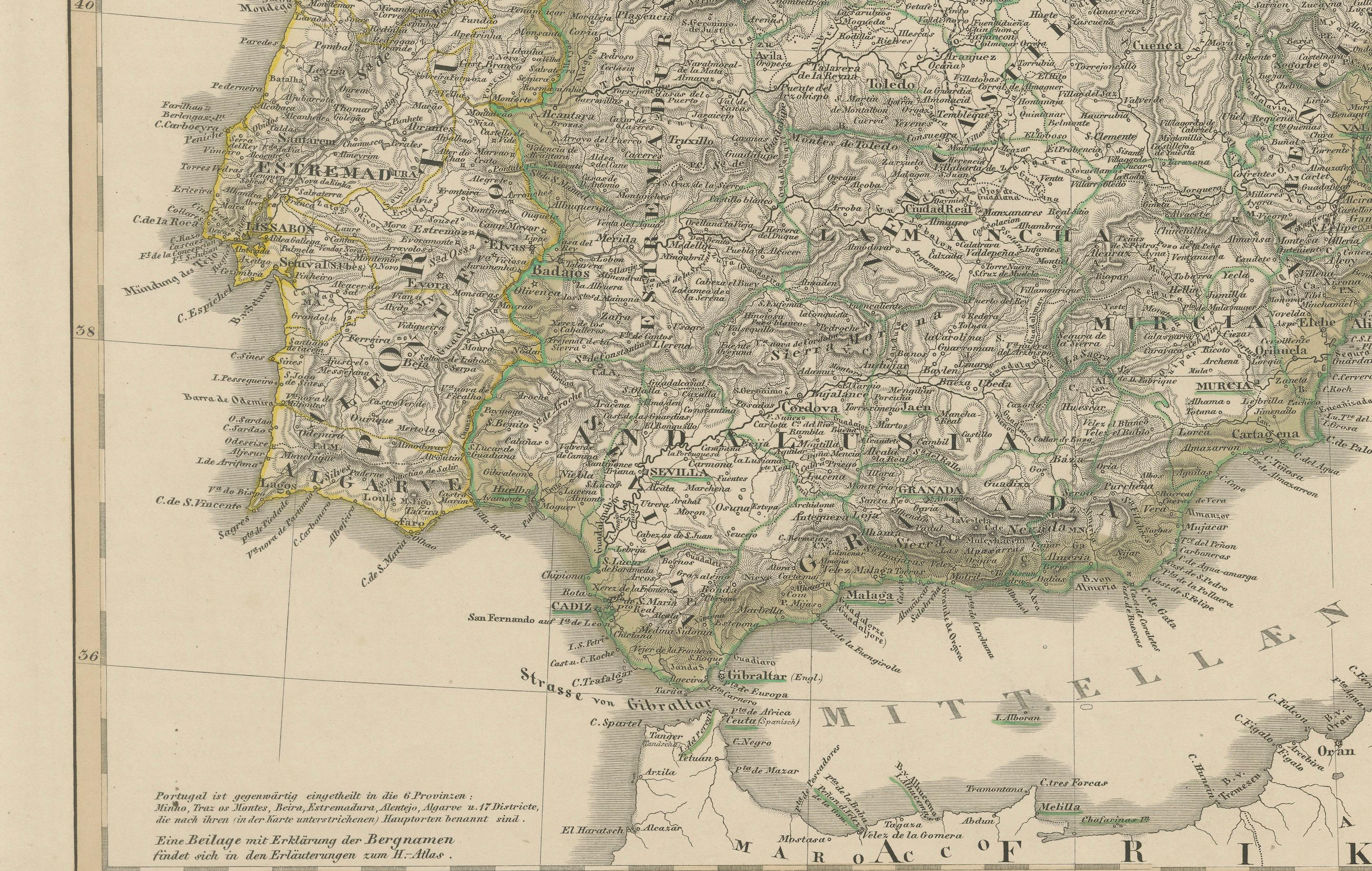
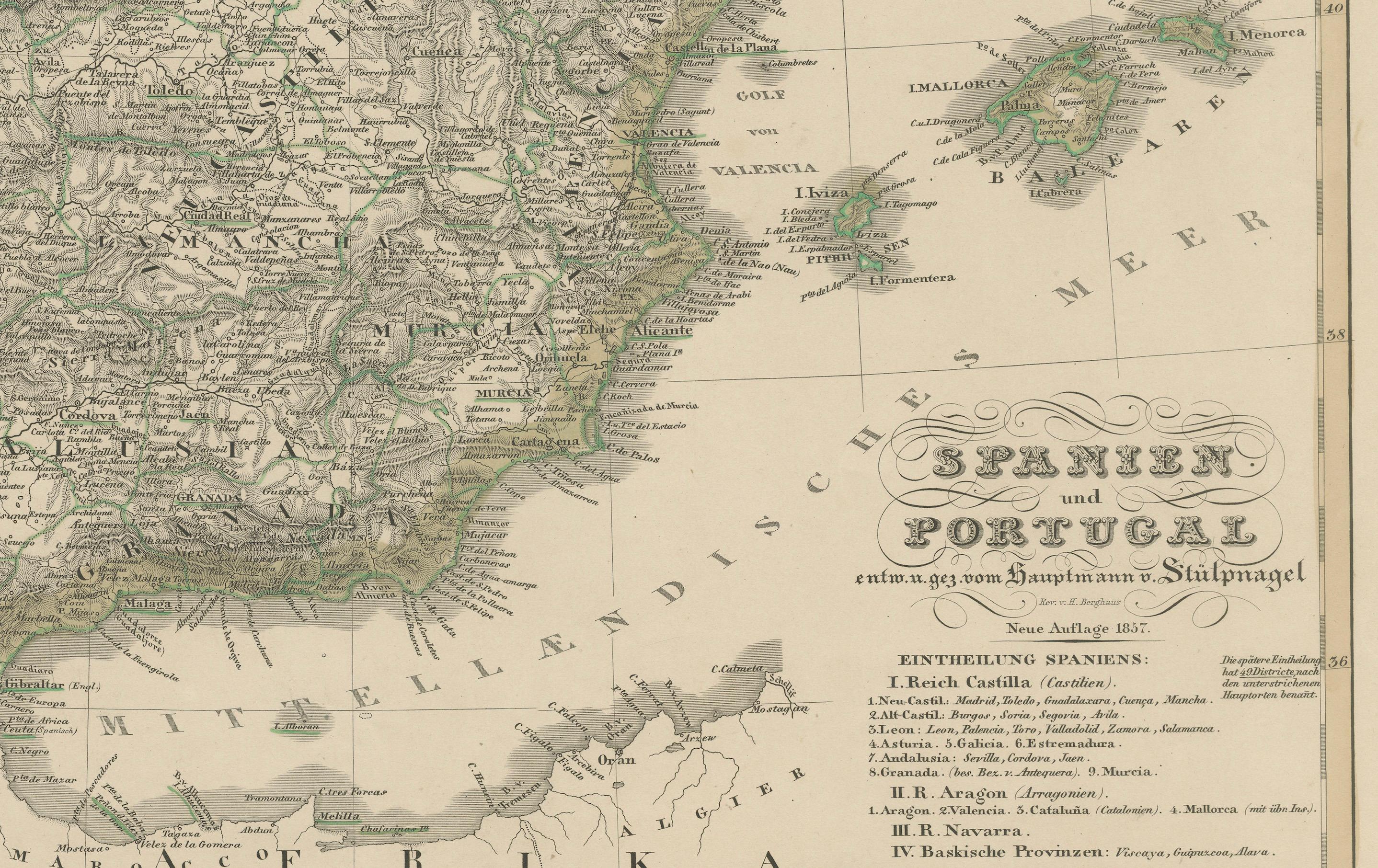
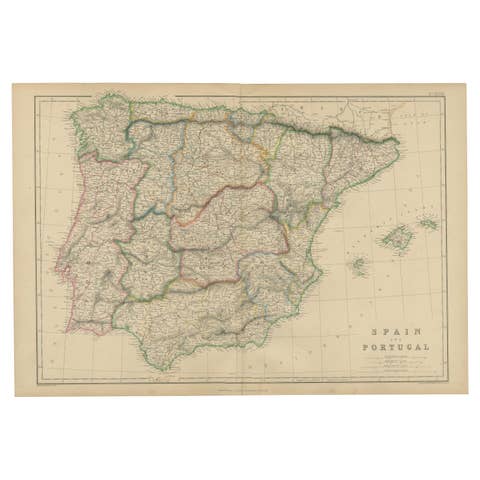
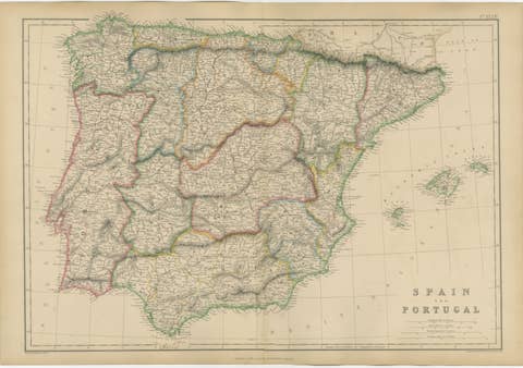
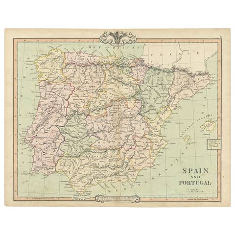
Fine 19th-century engraved map of the Iberian Peninsula titled "Spanien und Portugal", designed by F. von Stülpnagel and published by Justus Perthes in Gotha in 1857. This detailed and beautifully hand-colored map provides an accurate depiction of Spain and Portugal during a period of complex internal divisions and regional identities.
The map covers the entire Iberian Peninsula, including mainland Spain and Portugal, as well as the Balearic Islands in the Mediterranean and a portion of North Africa at the southern edge. Political boundaries between the provinces are delicately outlined in hand-applied colors, with careful attention to natural features such as rivers, mountain ranges, and coastlines. Major cities—such as Madrid, Lisbon, Seville, Barcelona, and Valencia—are clearly labeled, alongside hundreds of smaller towns and regional centers.
A classification of the Spanish administrative divisions is provided in the lower right corner, identifying regions such as Castile, Andalusia, Aragon, Catalonia, Galicia, and the Basque Provinces. The map also includes a mileage scale and inset longitude grid referencing the Ferro meridian.
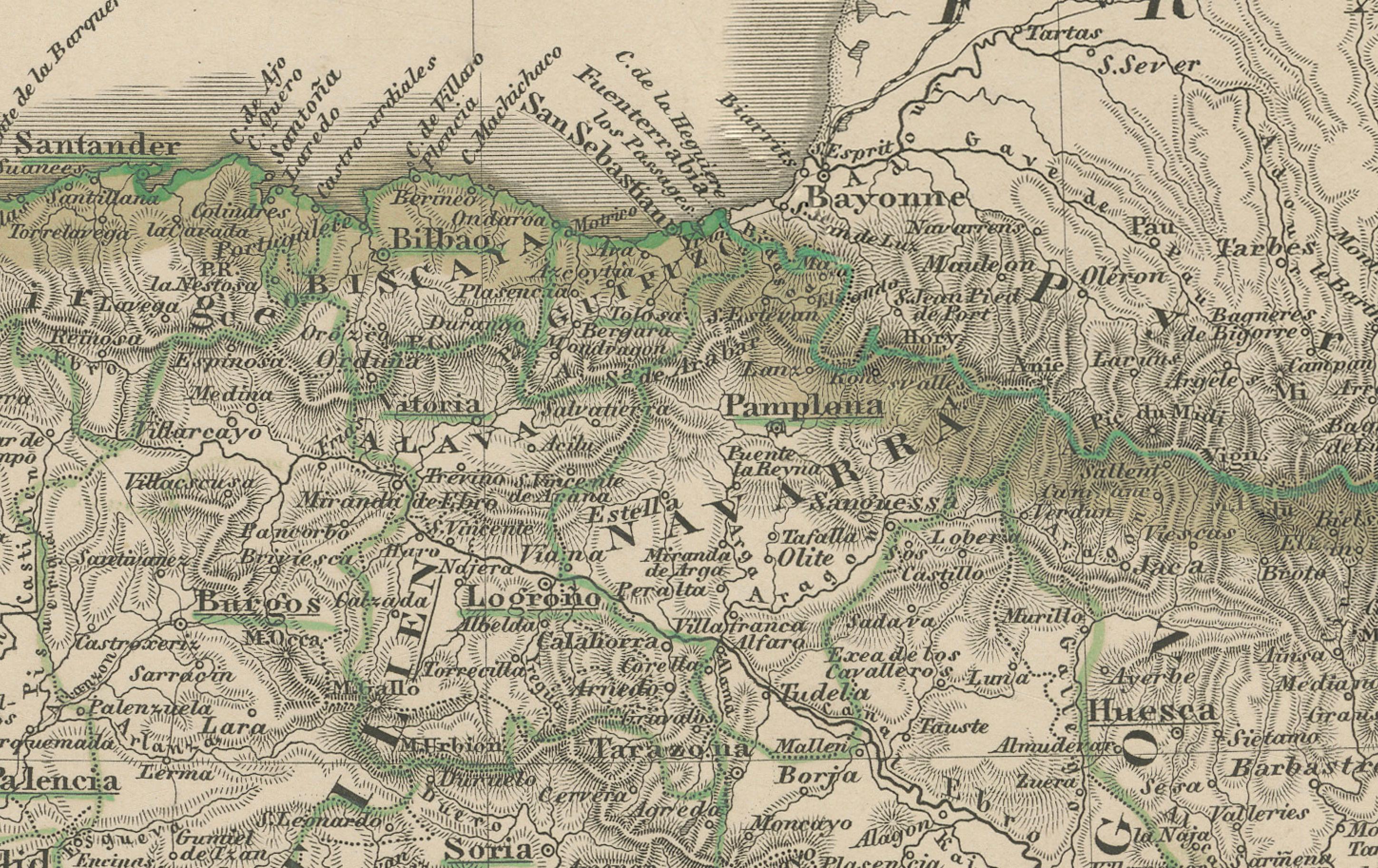
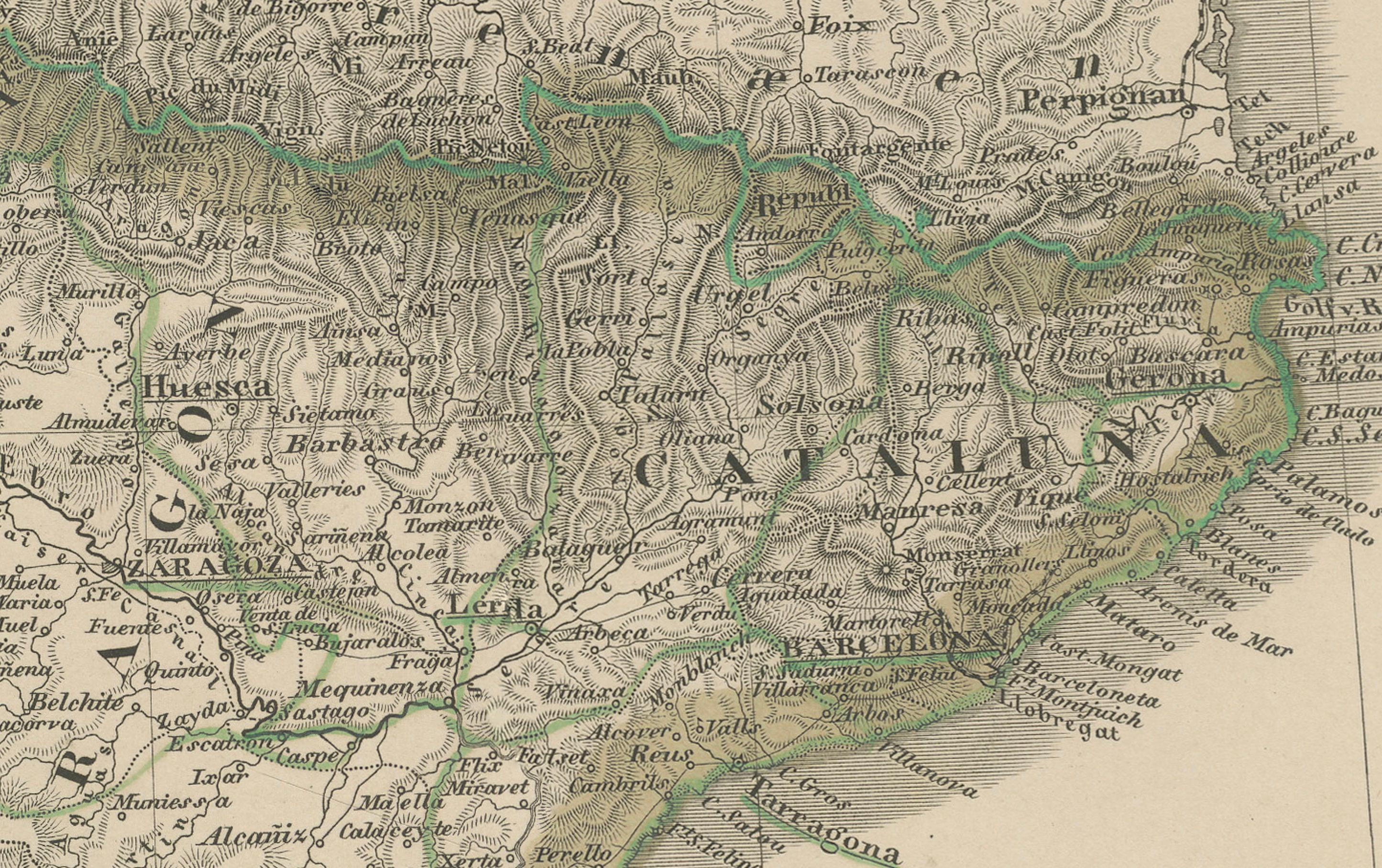
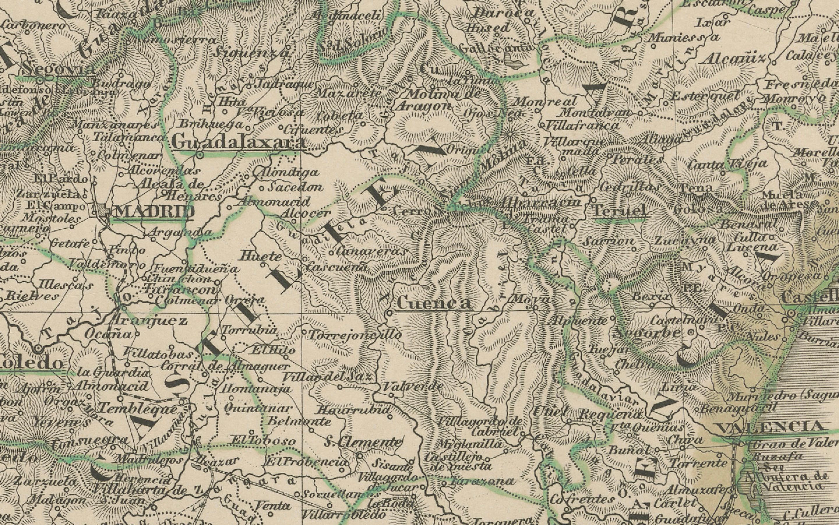
The topographical engraving is particularly fine, with shaded relief indicating the mountainous terrain of the Pyrenees and the central Meseta. The clarity and density of place names underscore the scholarly precision of the cartographer, making this map valuable not only for decorative purposes but also for historical research.
Produced by the renowned publishing house Justus Perthes and the distinguished German geographer Stülpnagel, this map is a prime example of 19th-century German cartography and remains a striking representation of Iberian geography before the rise of modern infrastructure.
Condition report:
Very good condition. Minor age-related toning at the edges. Hand-coloring remains vivid and well-preserved. No tears or repairs. Please refer to the image for visual confirmation.
Framing tips:
Pair this map with a walnut or dark oak frame and a pale cream or soft sand-colored mat. A narrow gold or olive inner lining may enhance the green-toned outlines. Ideal for a study, hallway, or alongside other antique European maps.
Technique: Engraving with original hand-coloring
Maker: F. von Stülpnagel, published by Justus Perthes, Gotha, 1857