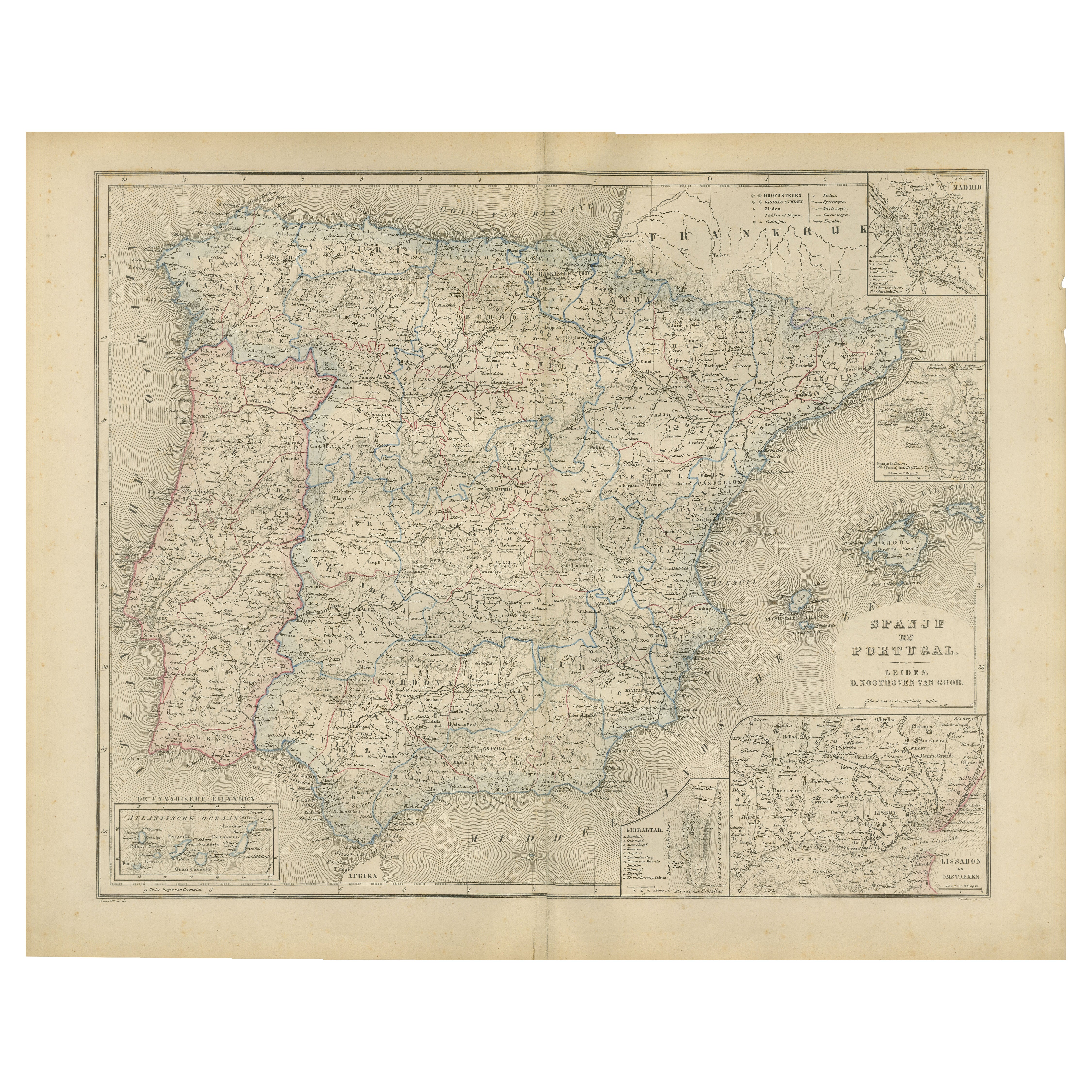
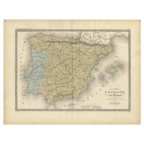
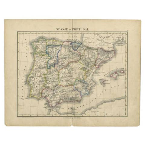
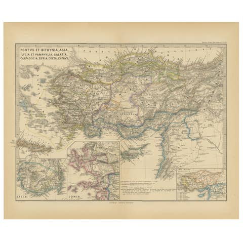
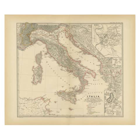
Map of Spain and Portugal – Nieuwe Hand-Atlas by Frijlink & van Otterloo, 1876
€ 320
One of a kind: this is the sheet in the photographs. Ships from Langweer, the Netherlands.
Date
1876
Sheet size
44 × 55 cm (17.3 × 21.7 in)
Condition
Good
Reference
BG-12788-7
Condition
Good condition with light toning and scattered foxing around the margins. Original center fold as issued. The image remains sharp with vivid original coloring. No tears or repairs.
About this sheet
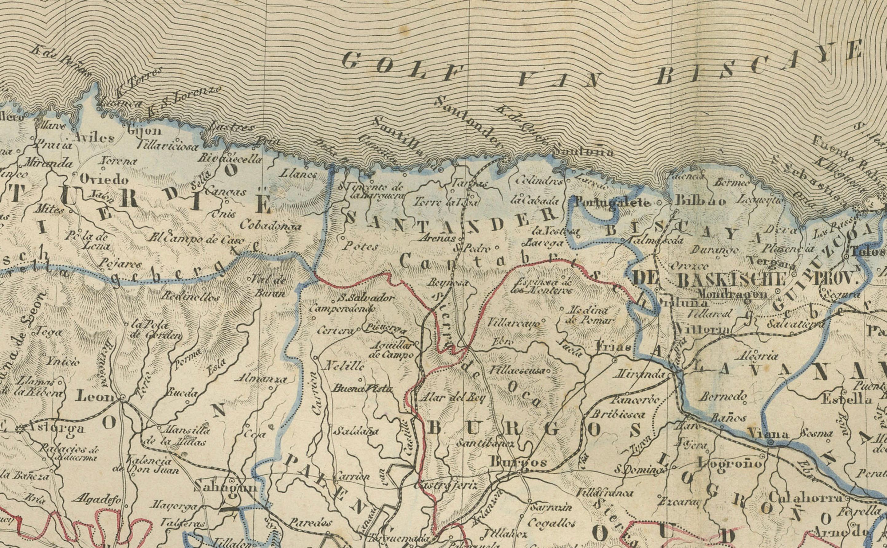
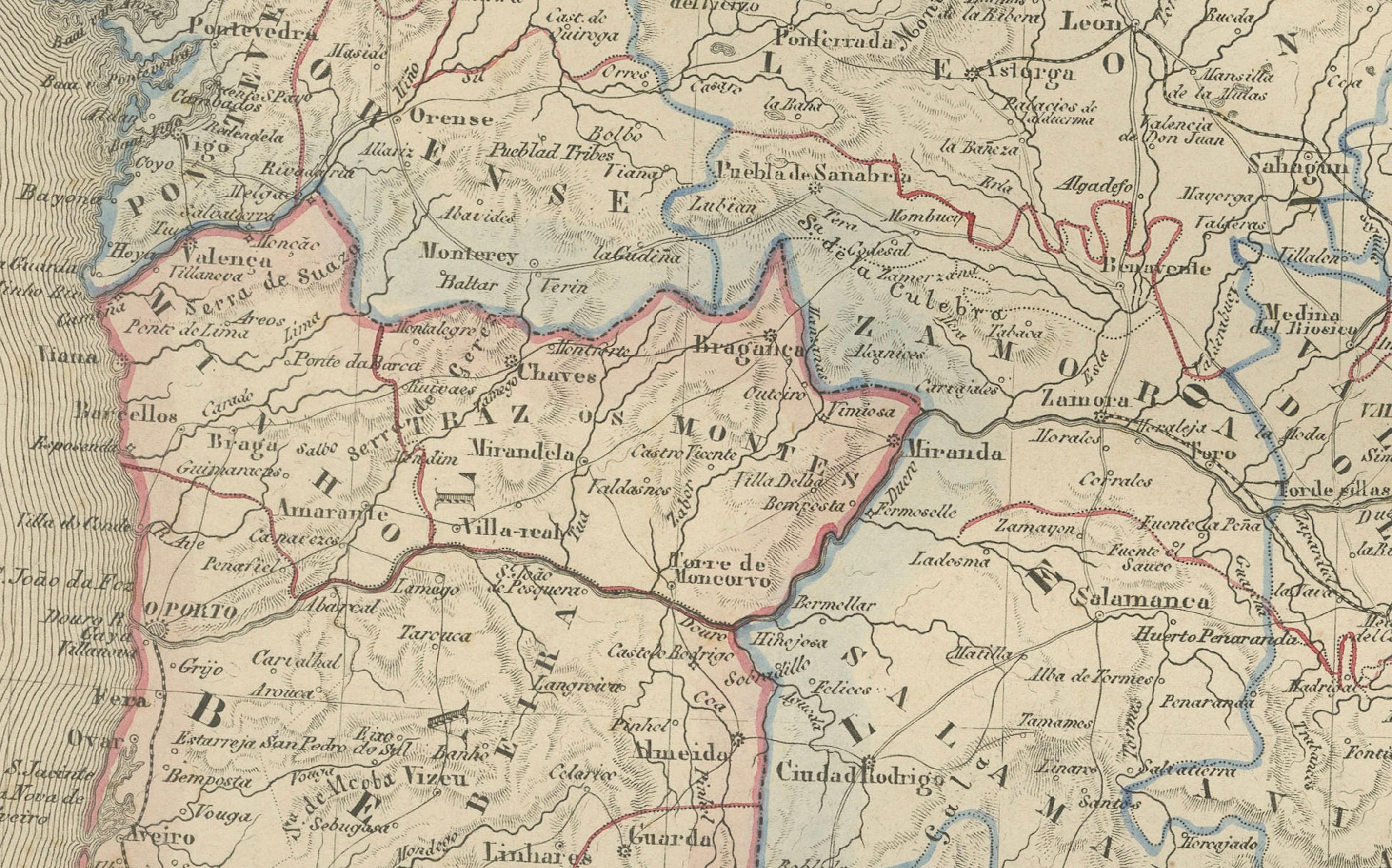
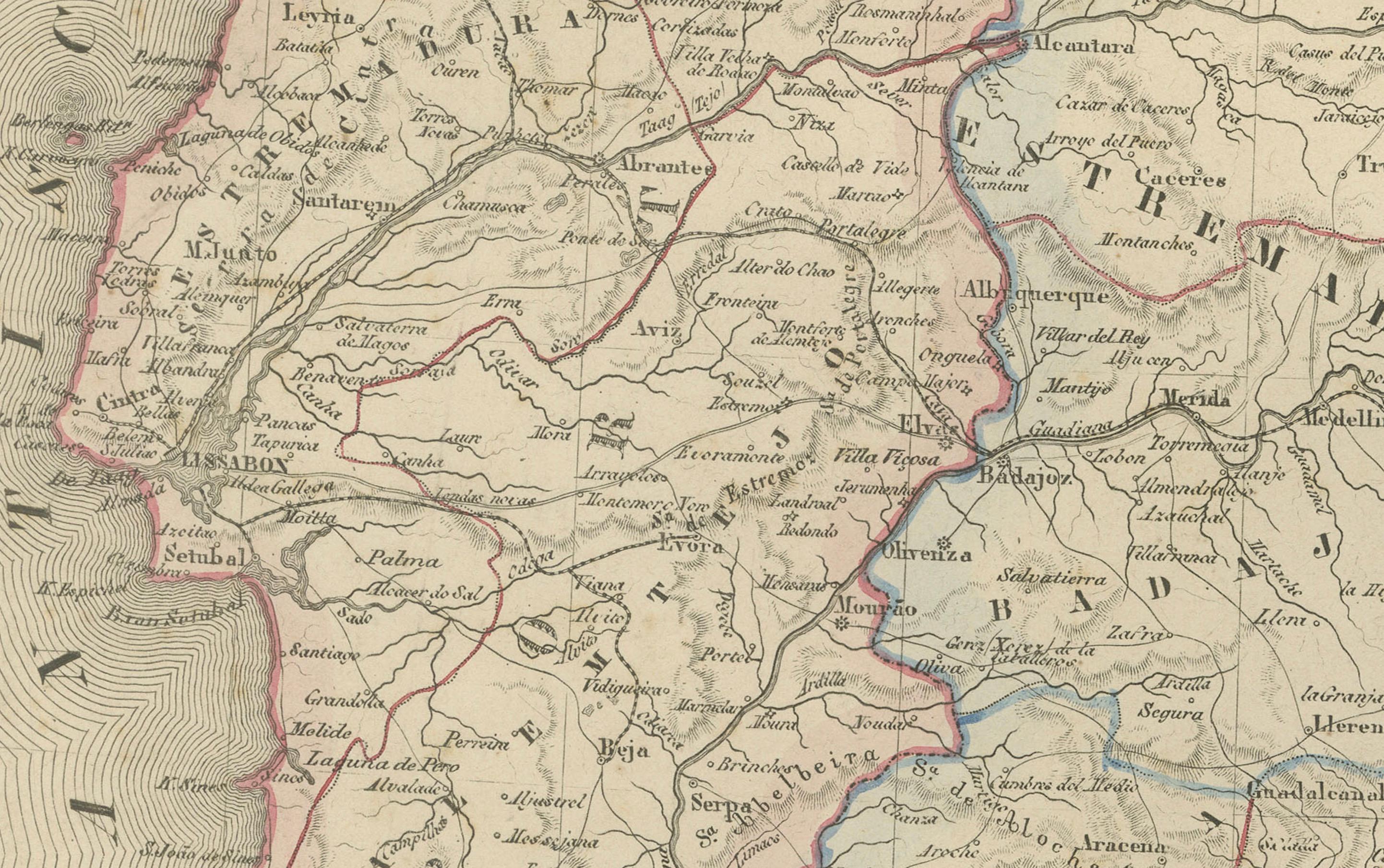
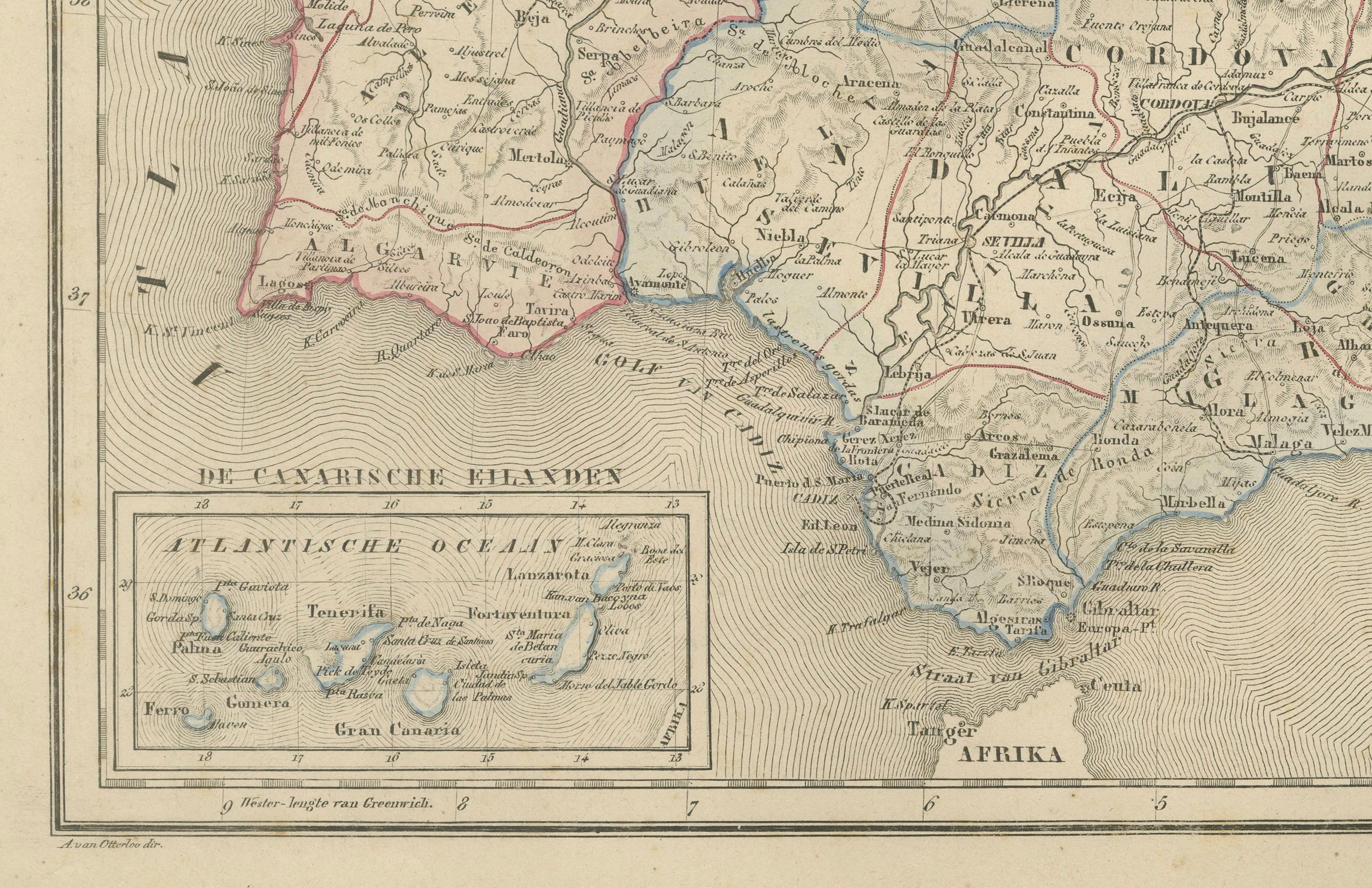
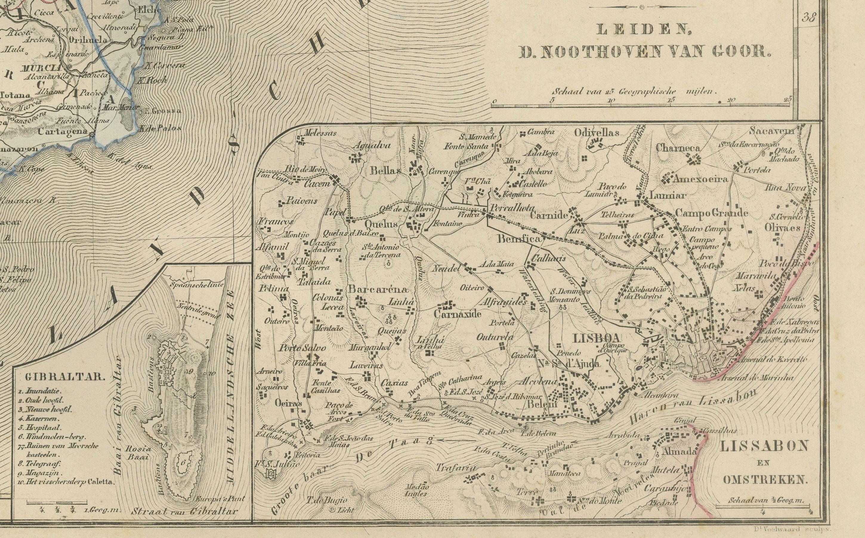
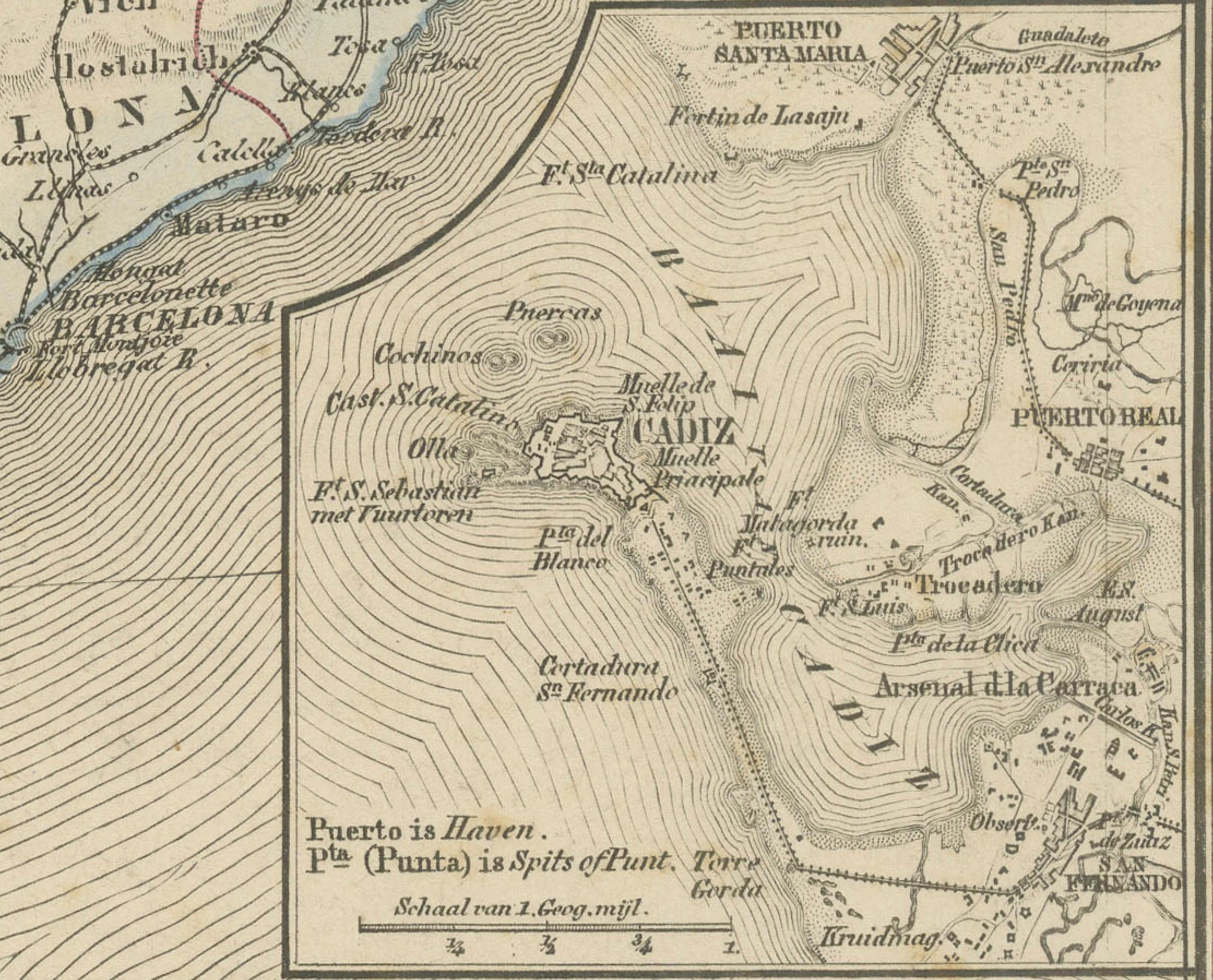
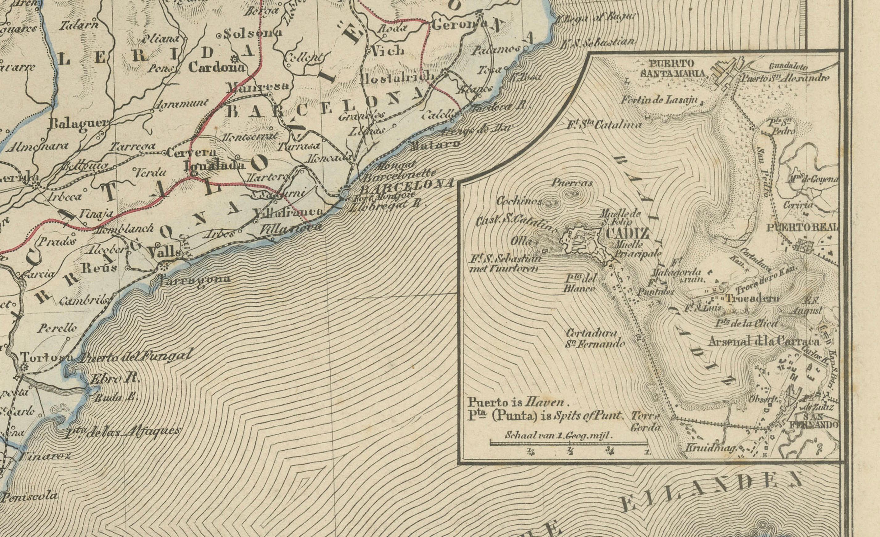
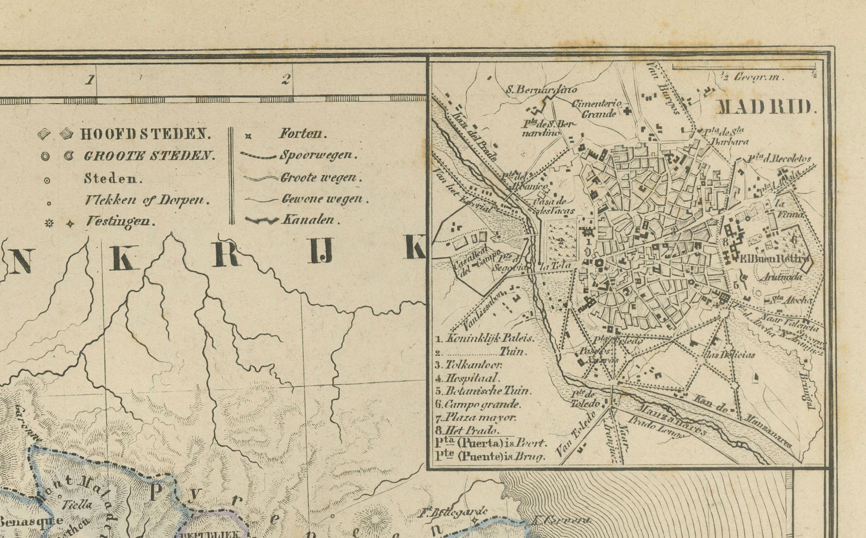
This detailed 19th-century map, titled “Spanje en Portugal,” was published in 1876 in the Nieuwe Hand-Atlas der Aarde in haren Tegenwoordigen Toestand by M. Frijlink, revised by A. van Otterloo, and printed by D. Noothoven van Goor in Leiden. The map presents the Iberian Peninsula in exceptional detail, featuring the political and physical geography of Spain and Portugal during the late 19th century, rendered in fine Dutch cartographic style.
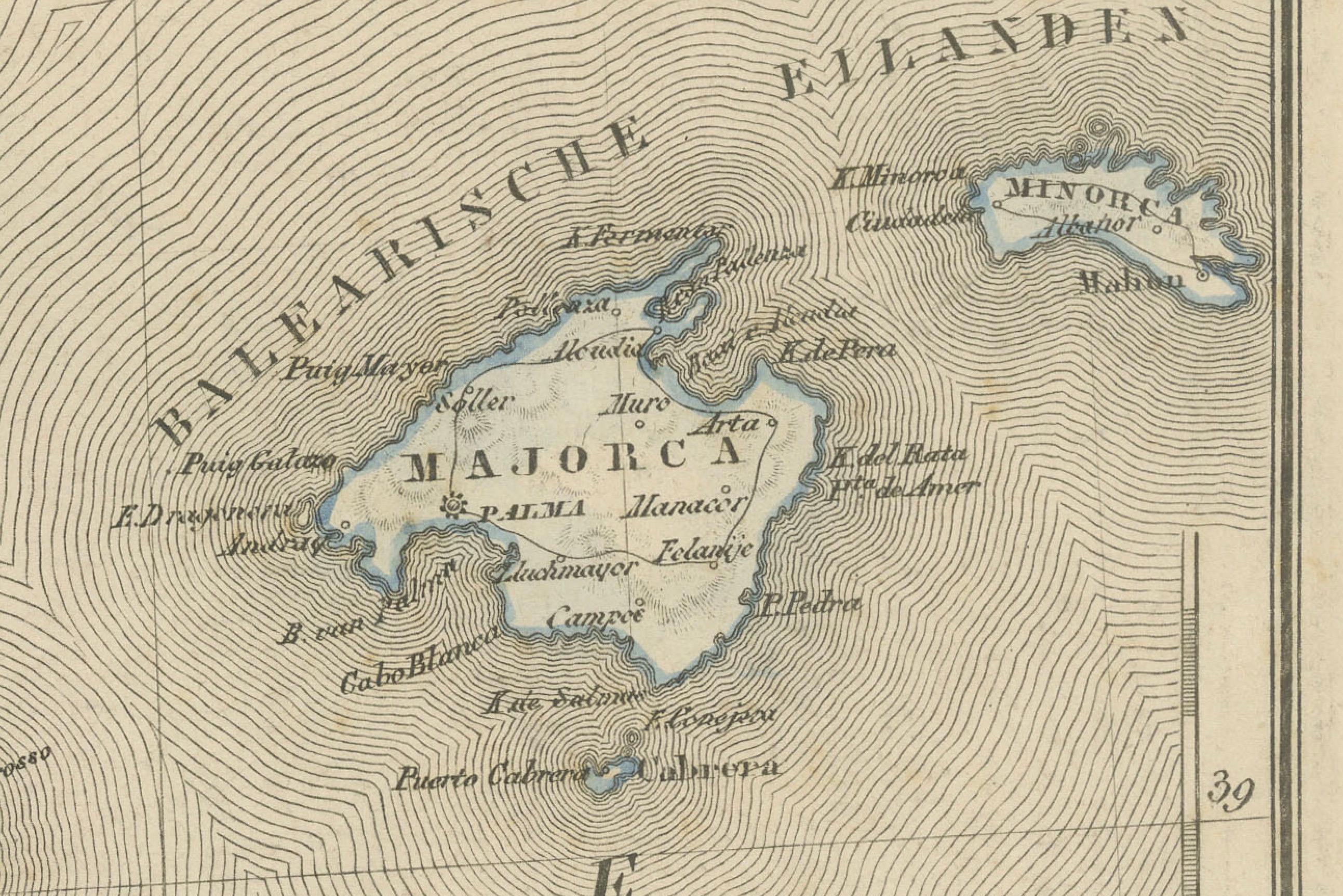
Each province is outlined in distinct hand-colored borders—red for Portugal, blue for the interior Spanish provinces, and yellow along key boundaries. The map includes the Balearic Islands, Gibraltar, and adjacent portions of North Africa. Insets provide close-up views of Lisbon (*Lissabon en Omstreken*) and the Strait of Gibraltar, along with a comparative scale chart showing Spain’s position relative to European latitudes. Rivers, mountain ranges, and major roads are carefully engraved, while cities such as Madrid, Barcelona, Seville, and Porto are clearly marked.
This plate reflects both educational precision and aesthetic craftsmanship. It served as a reference for geography education in Dutch schools, combining scientific accuracy with elegant lithographic execution. The atlas from which it originates—Frijlink’s *Nieuwe Hand-Atlas*—was among the most comprehensive of its era, featuring maps engraved by leading Dutch cartographers and printed with high production standards.
Condition report: Good condition with light toning and scattered foxing around the margins. Original center fold as issued. The image remains sharp with vivid original coloring. No tears or repairs.
Framing tips: An ivory or light grey mat paired with a dark wooden or black frame will enhance the warm vintage tones of this map. Ideal for display in studies, travel-themed interiors, or classical home libraries.
Technique: Lithograph with original hand-coloring Maker: M. Frijlink & A. van Otterloo, published by D. Noothoven van Goor, Leiden, 1876