Maps & PrintsBartele Gallery · Langweer
Home / Antique Maps / Europe / Southern Europe

Southern Europe · 19th century

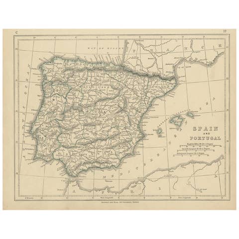
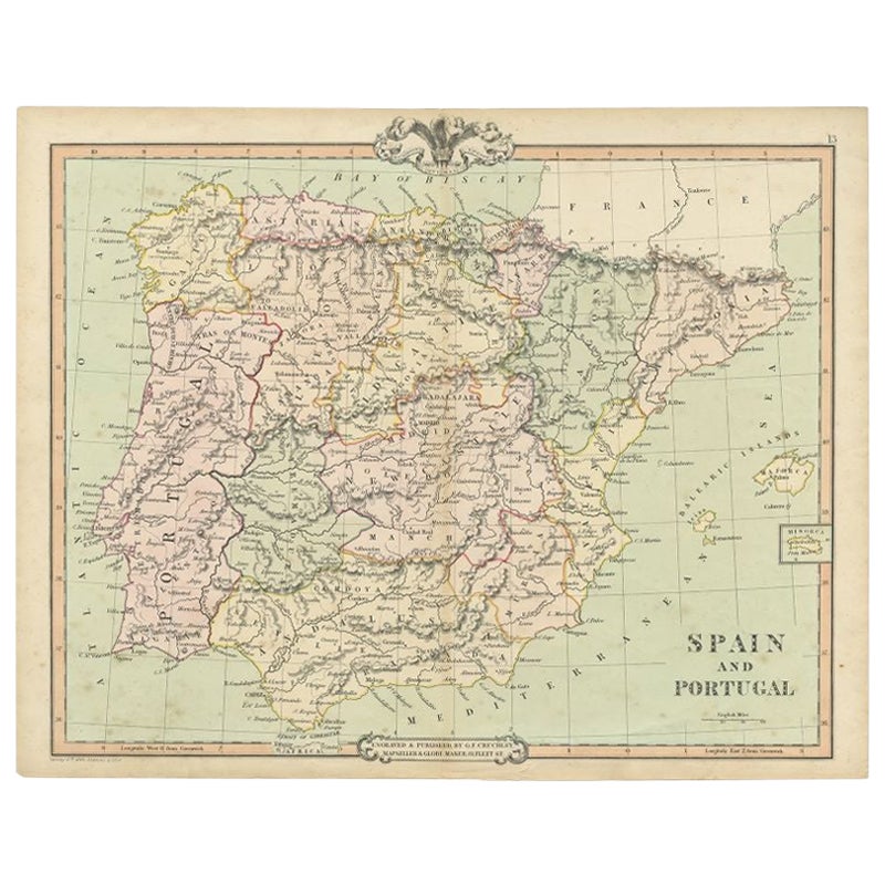
Antique Map of Spain and Portugal by Cruchley, 1854

€ 120

Original antique · The actual sheet photographed · Certificate of authenticity on request · Sold unframed · Worldwide shipping from € 15 (rates)

Date
1854
Mapmaker / artist
Engraved and published by G.F. Cruchley, mapseller and globe maker
Sheet size
38 × 48 cm (15.0 × 18.9 in)
Condition
Good
Reference
BG-00495

About this sheet

"Antique map of Spain and Portugal. Also depicts the islands Formentera, Ibiza, Mallorca and Minorca. Artists and Engravers: Engraved and published by G.F. Cruchley, mapseller and globe maker.

Condition: Very good, general age-related toning. Small tear on folding line, please study image carefully.
Date: 1854
Overall size: 48 x 38 cm.
Image size: 0.001 x 44.5 x 37 cm.

They were the product of engraved, etched or lithographed plates. These plates were handmade out of wood or metal, which required an incredible level of skill, patience and craftsmanship. Whether you have a house with Victorian furniture or more contemporary decor an old engraving can enhance your living space. We offer a wide range of authentic antique prints for any budget.".

More from Southern Europe

Ask about this sheet

Antique Map of Spain and Portugal by Cruchley, 1854
1854 · Ref. BG-00495 · € 120
We reply by email, usually within one working day.