About this sheet
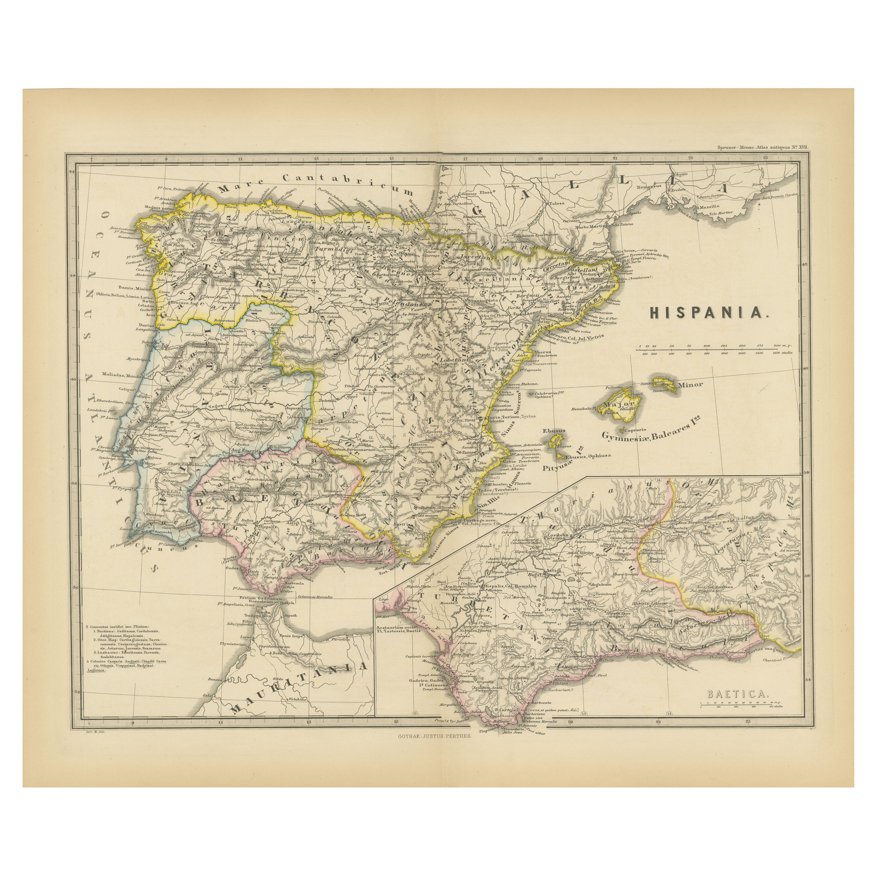
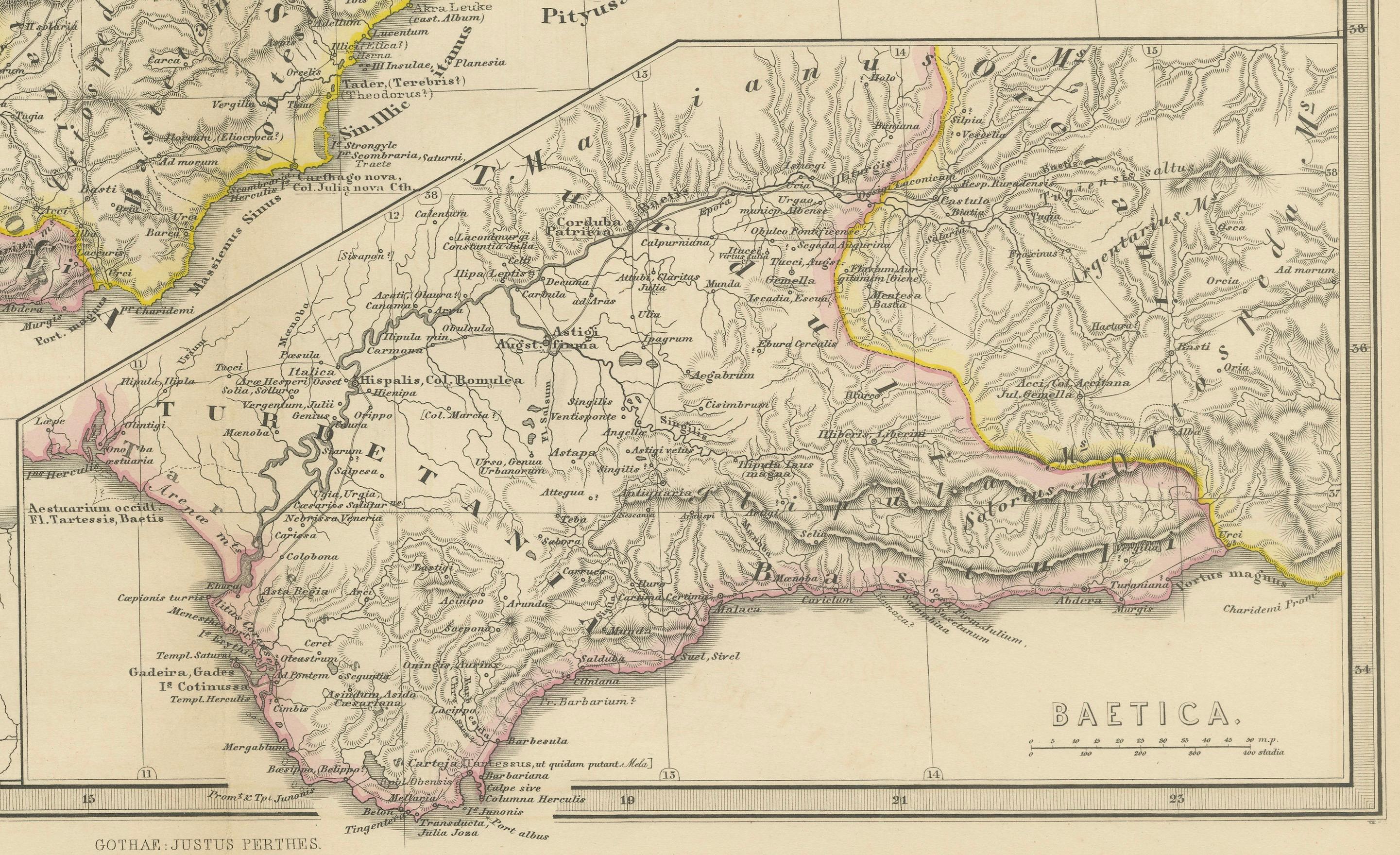
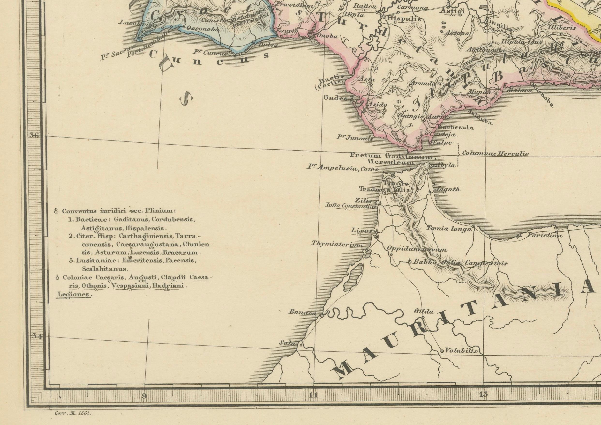
This map is titled "HISPANIA," indicating it is a historical map of ancient Spain.
It is an original antique map from the "Spruner-Menke Atlas Antiquus," a 19th-century historical atlas. The maker of the original atlas is Karl Spruner von Merz, with later editions edited by Theodorus Menke. This particular map showcases the Iberian Peninsula with its ancient Roman provincial divisions, topographical features, and possibly includes significant Roman roads, settlements, and cities. The atlas is known for its detailed and scholarly approach to historical cartography.
This map of "Hispania" is particularly interesting due to several factors:
1. **Historical Detail**: It represents the Iberian Peninsula during the period of Roman rule. The map outlines the provincial divisions used by the Romans, such as Hispania Baetica, Hispania Tarraconensis, and Lusitania.
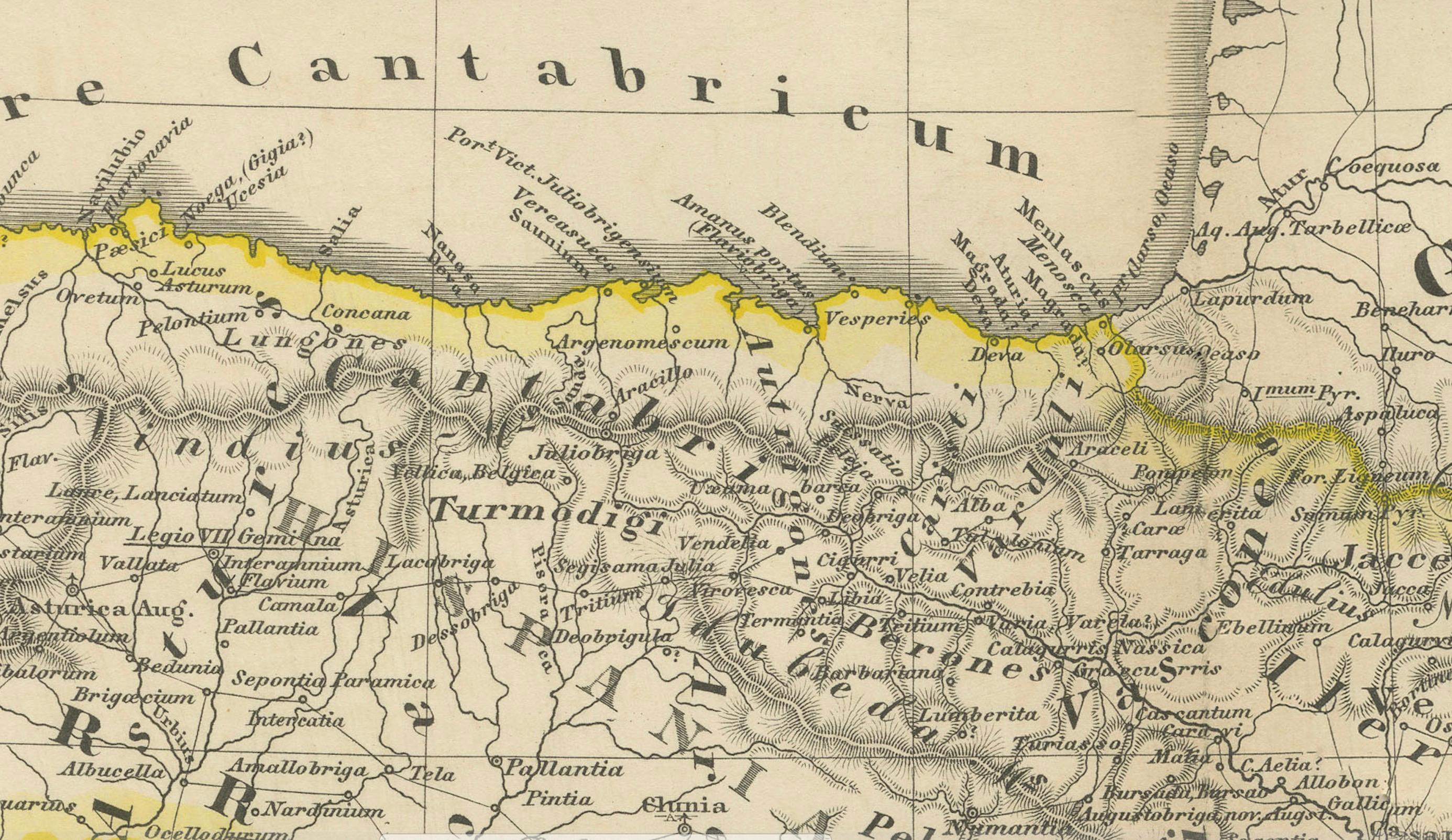
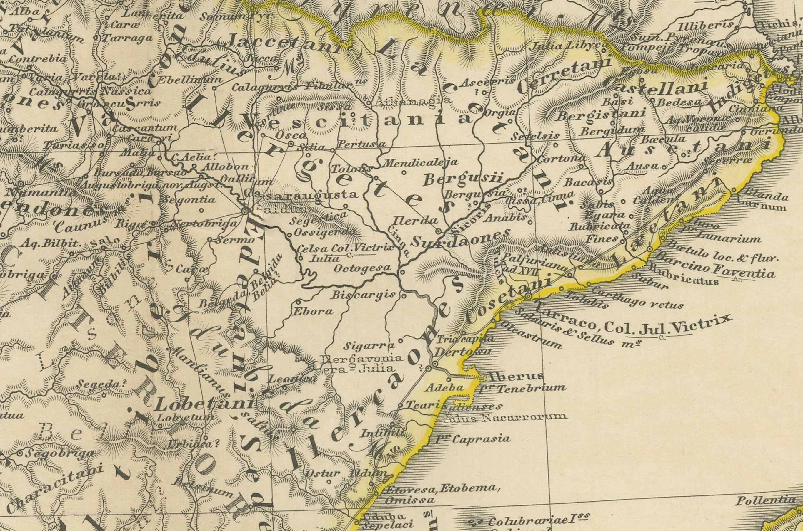
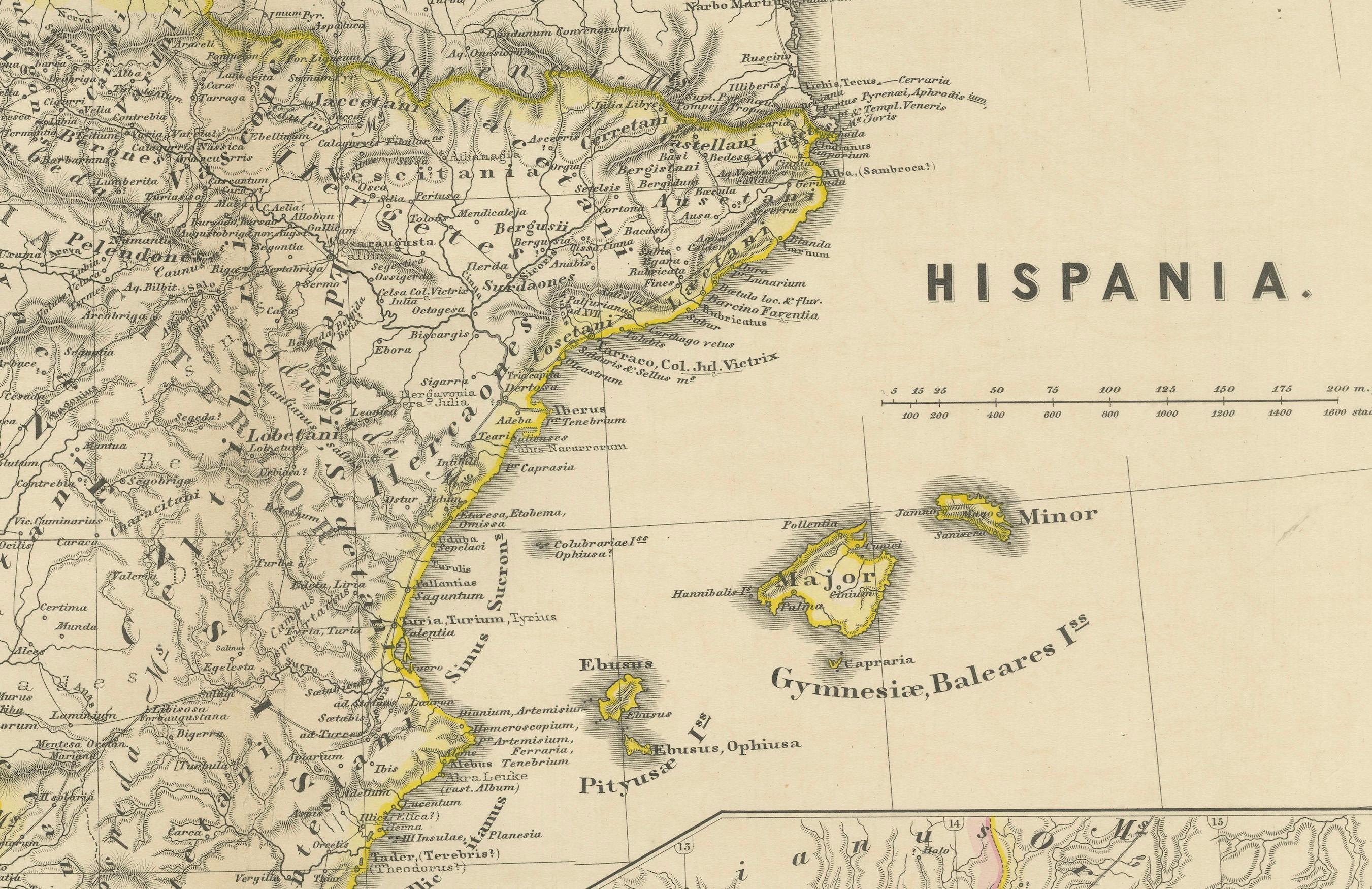
2. **Geographical Accuracy**: The map includes detailed depictions of mountain ranges like the Pyrenees and the Sierra Nevada, river systems such as the Ebro (Iberus Fluvius) and the Tagus (Tagus Fluvius), and the intricate coastline, which would have been essential for maritime trade and military movements.
3. **Roman Infrastructure**: It shows the network of Roman roads that facilitated the Roman Empire's administrative control, commerce, and military logistics, which were crucial to integrating the diverse regions of the peninsula.
4. **Latin Labels**: The use of Latin for all place names and descriptions provides an authentic feel and reflects the scholarly rigor of the time.
5. **Inset Maps**: Insets like the "Baleares Insulae," representing the Balearic Islands, offer additional detail about significant locations under Roman control.
6. **Cultural Significance**: The Iberian Peninsula was a melting pot of cultures, including various Iberian tribes, Celts, Phoenicians, Carthaginians, and Romans, each leaving a rich historical legacy.
The period represented is not explicitly stated on the map, but based on the provincial divisions and the style of Roman road networks, it is likely to depict Hispania during the Roman Empire's Principate period, which spanned from 27 BC (when Octavian became Augustus Caesar) to the 3rd century AD. This was a time of consolidation and relative peace within the Roman Empire, known as the Pax Romana. The map would be of great interest to those studying Roman provincial administration, ancient geography, and the Romanization of the Iberian Peninsula.