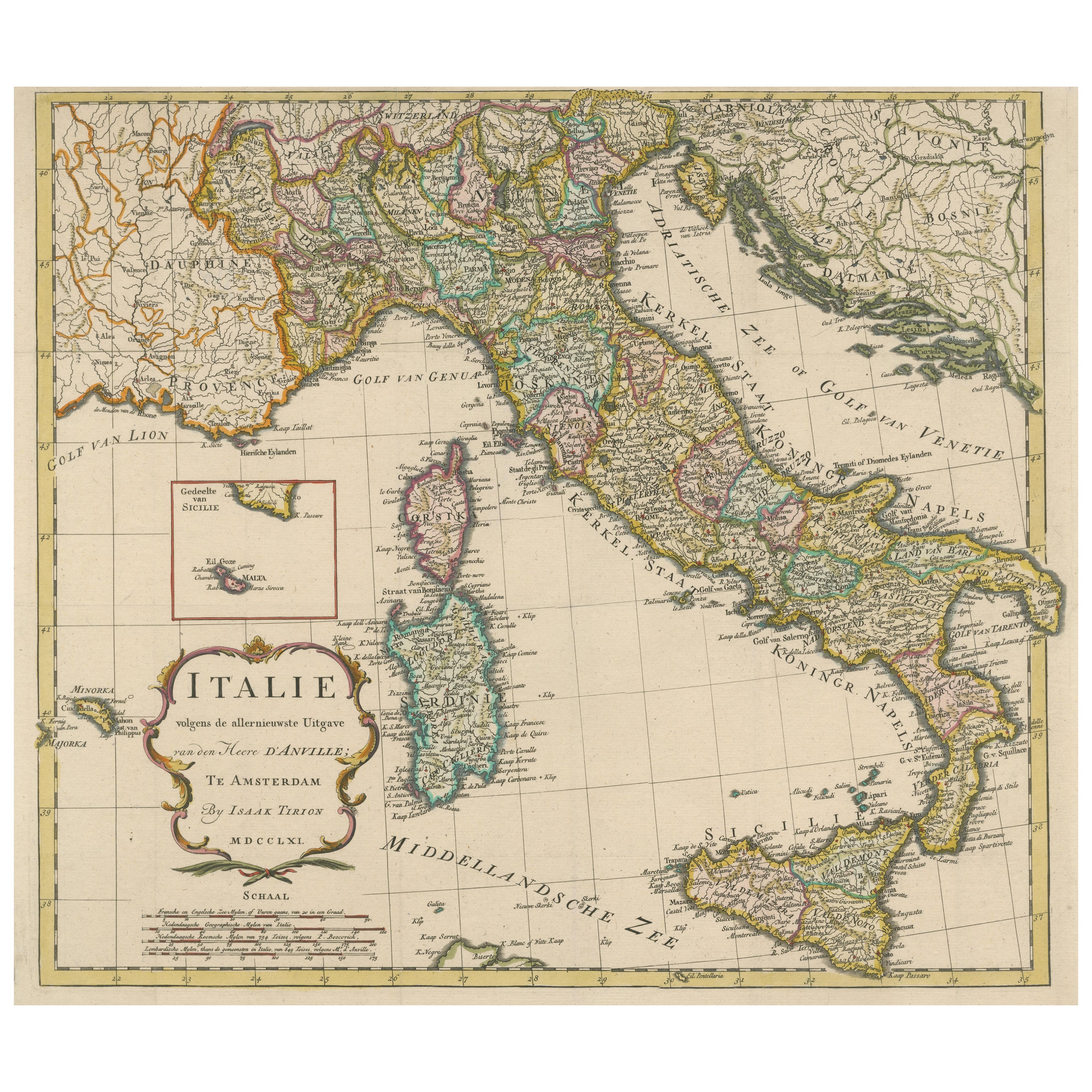
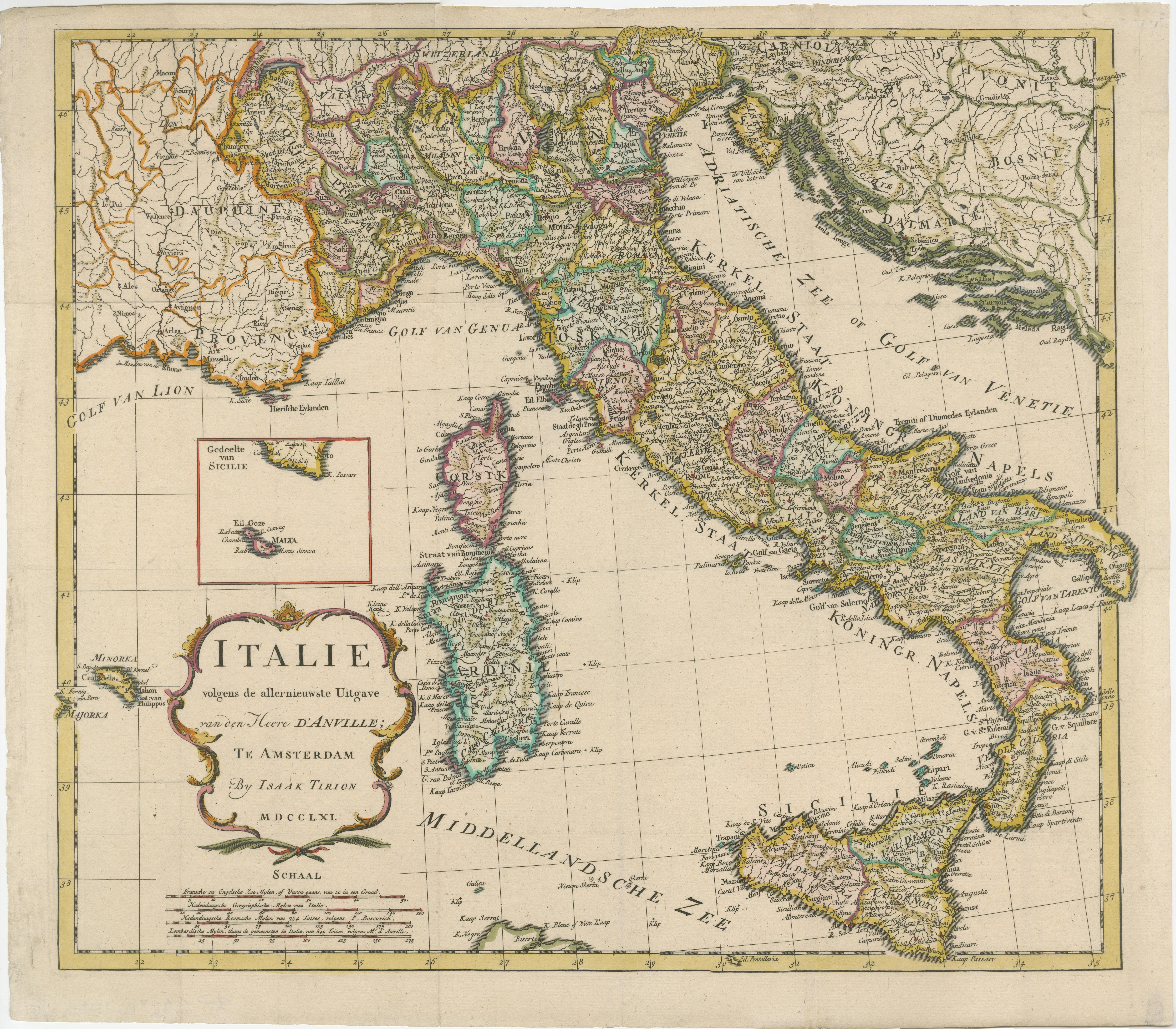
Detailed Antique Map of Italy and surrounding Islands, 1761
€ 620
One of a kind: this is the sheet in the photographs. Ships from Langweer, the Netherlands.
Date
1761
Sheet size
41.9 × 47.8 cm (16.5 × 18.8 in)
Condition
Good
Reference
BG-13509
Condition
General age-related toning. Beautiful hand coloring. Original folding lines, one small closed split top margin. Minor wear, blank verso. Please study image carefully.
About this sheet
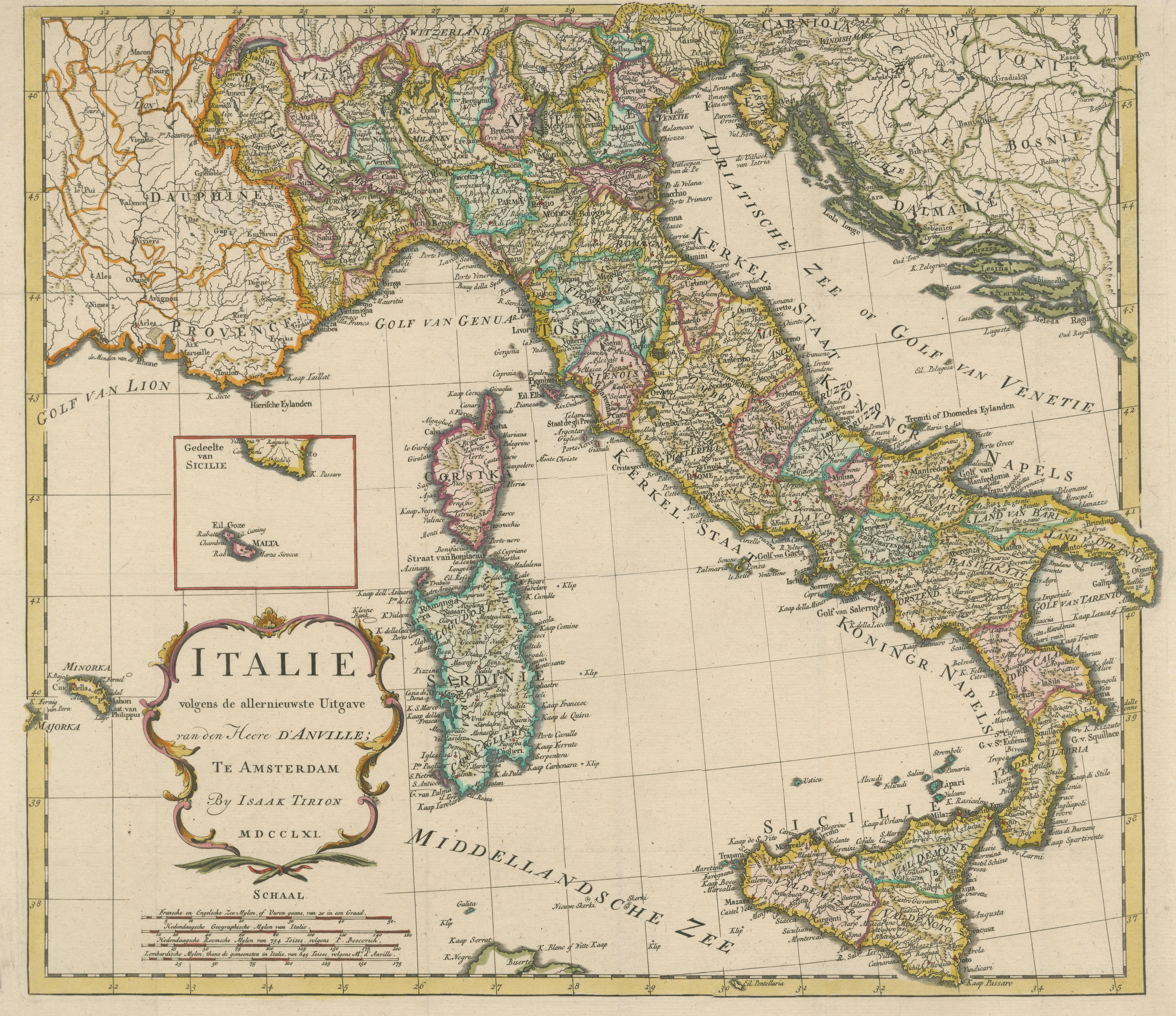
Antique map titled 'Italie volgens de allernieuwste Uitgave van den Heere d'Anville'. Very detailed antique map, based on D'Anville's important map of Italy. The map extends to Sicily, Corsica, Sardinia, and Mallorca (Majorca). A small inset shows Malta in relation to Sicily. The title is enclosed in a decorative cartouche. Published by I. Tirion, dated 1761.
Tirion was born in Utrecht in 1705. He moved to Amsterdam in 1725 and set up shop on Damrak as a book publisher. Tirion quick rose in prominence by publishing pamphlets, historical works, and, most importantly, maps and atlases. He eventually relocated his printing house to the prestigious Kalverstraat. In his long career he produced eight atlases in multiple editions, some of which were published posthumously until about 1784. Most of his cartographic work is based on the earlier maps of Guillaume de L'Isle.