About this sheet
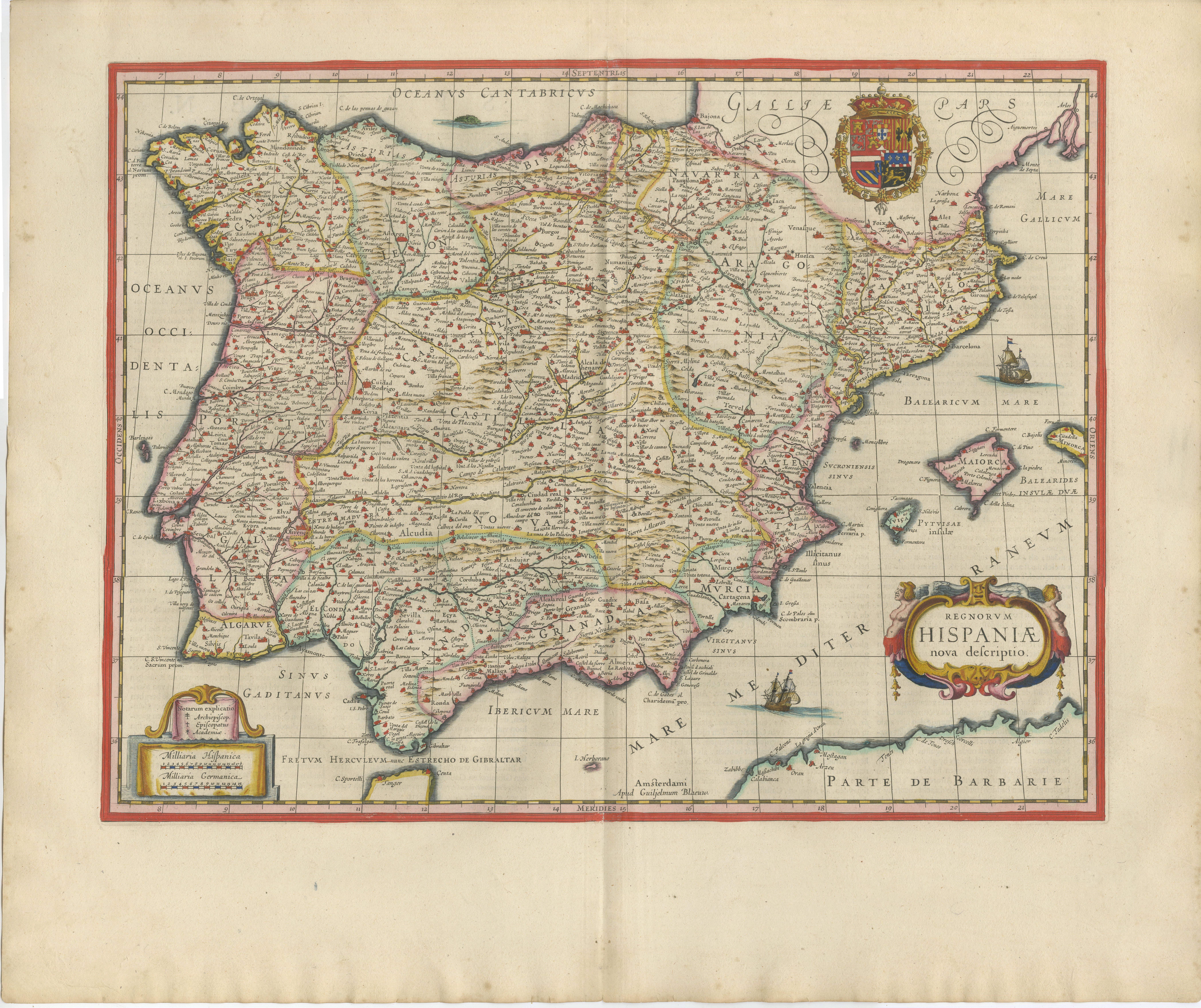
Blaeu Map of Spain & Portugal “Hispania”, Decorative Cartouche, c.1642
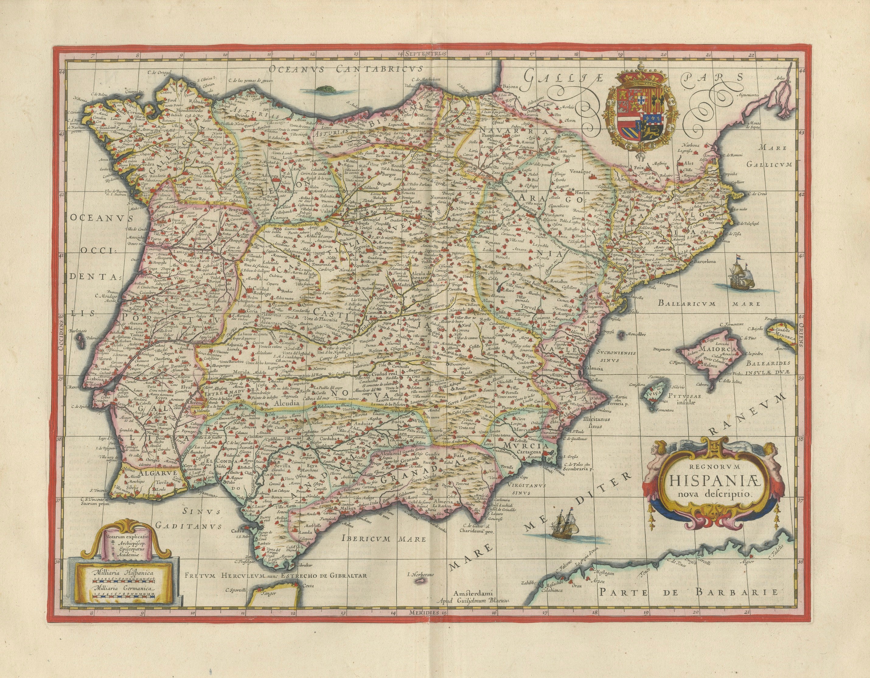
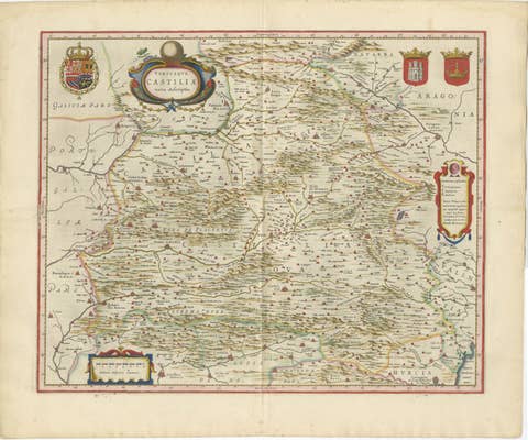
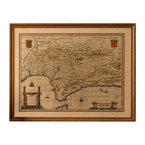
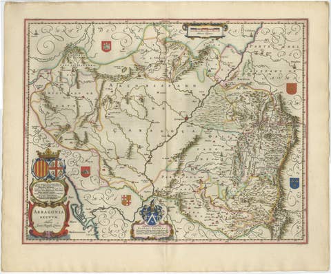
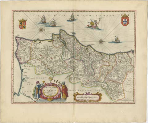
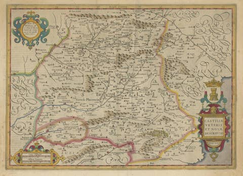
An exceptional and highly decorative map of Spain and Portugal, titled “Hispania,” engraved and published by Willem Jansz. Blaeu in Amsterdam around 1642, at the height of the Dutch Golden Age of cartography. This refined example originates from Blaeu’s celebrated atlas series, widely regarded as the pinnacle of 17th-century mapmaking.
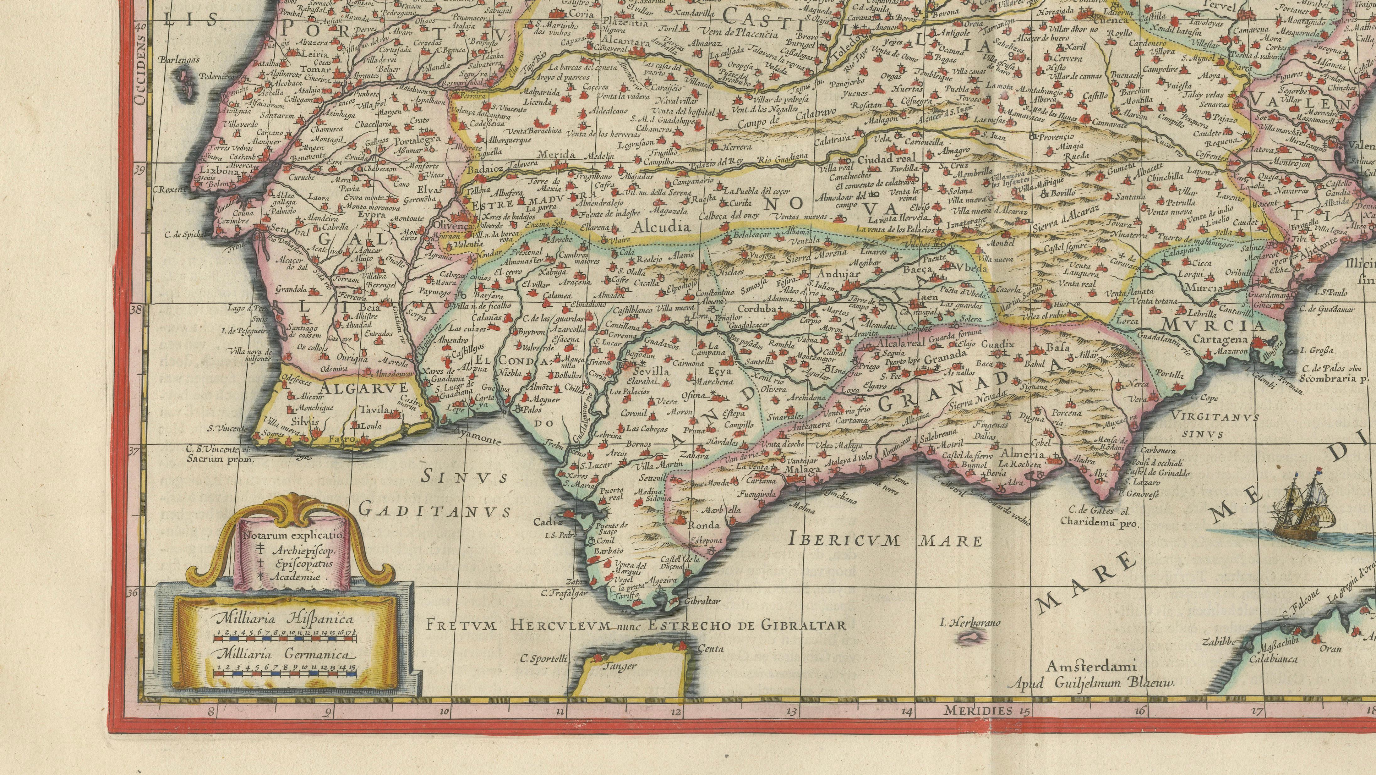
The Iberian Peninsula is presented with remarkable precision and elegance, its dense network of cities, rivers, and provinces meticulously engraved and enhanced with original hand color. Beyond its geographic importance, the map possesses a strong visual presence, carefully balanced between scientific clarity and artistic refinement.
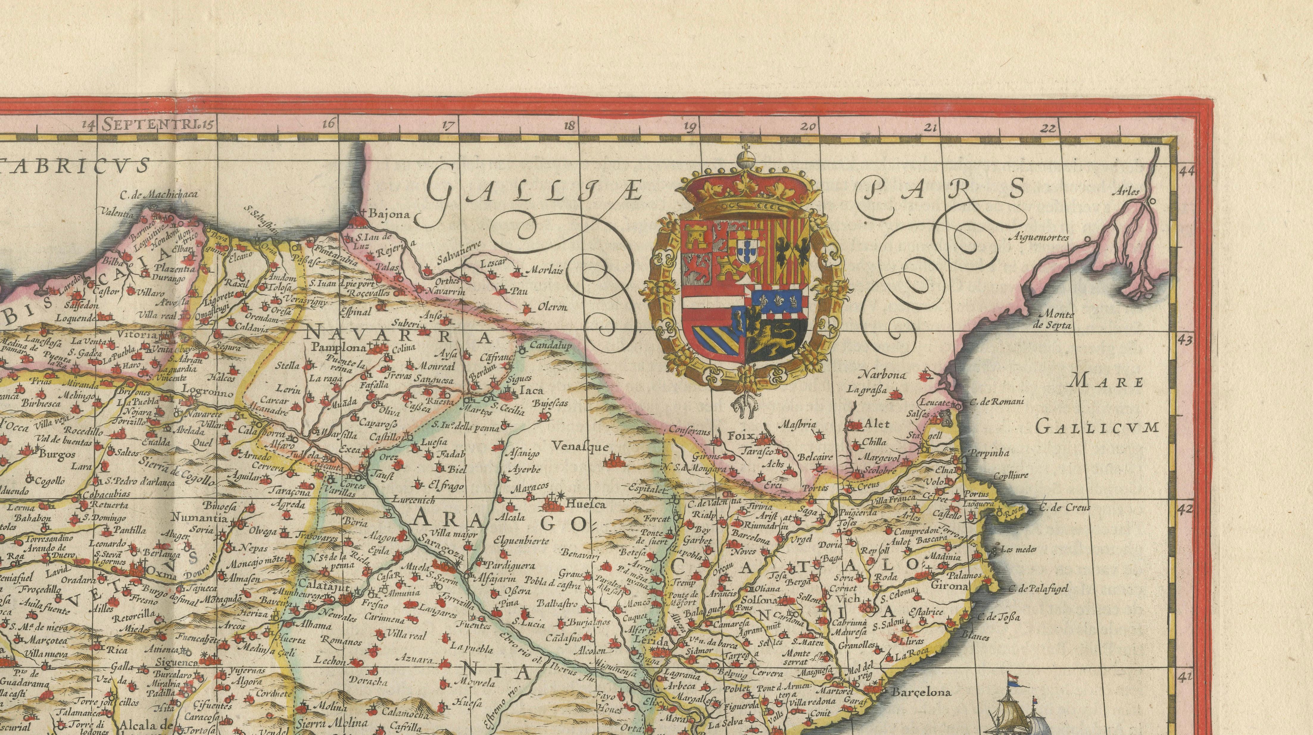
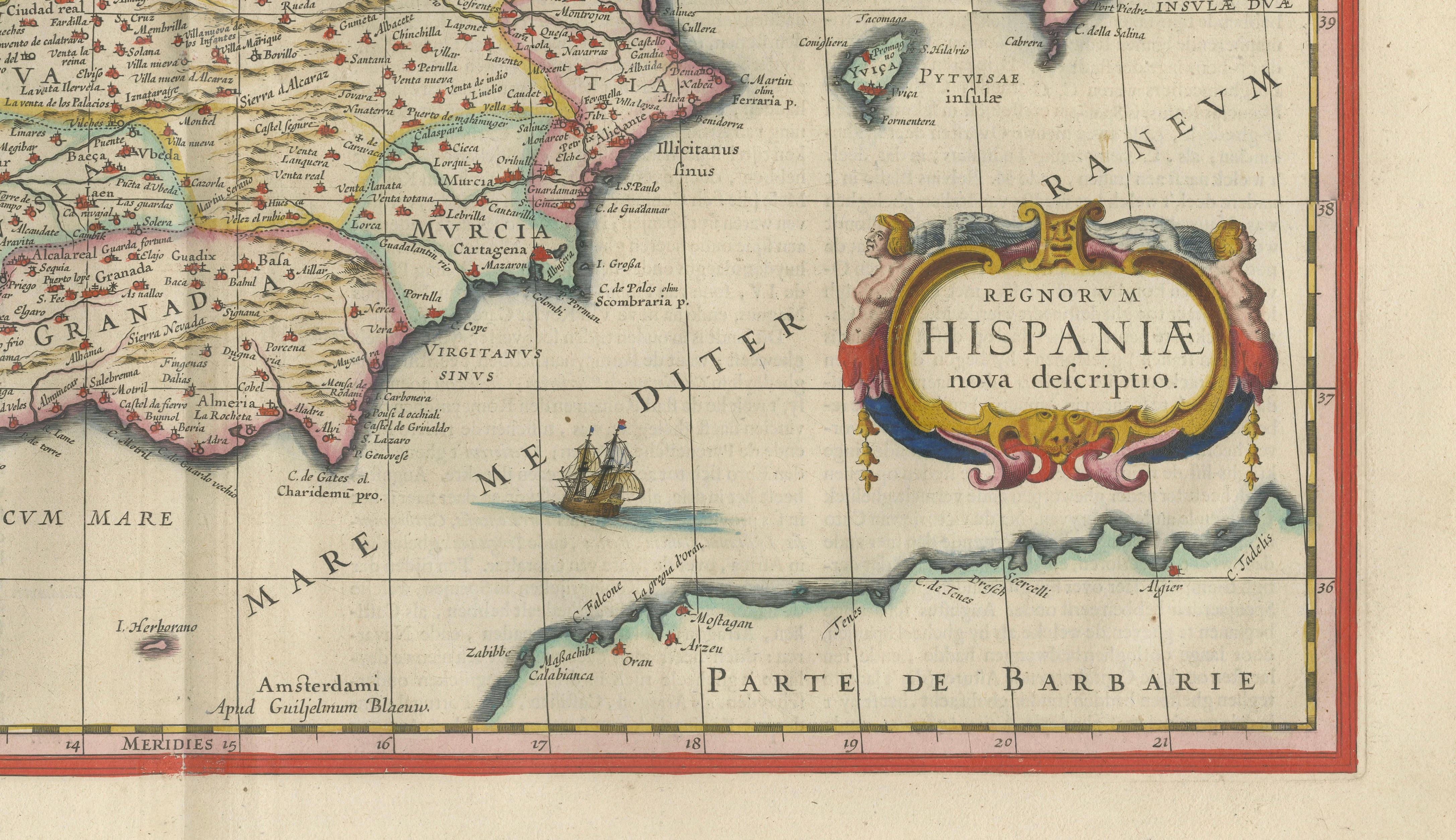
Particularly striking is the richly ornamented cartouche, accompanied by heraldic elements and decorative flourishes that reflect the prestige and ambition of Blaeu’s work. Finely engraved sailing ships animate the surrounding seas, while the crisp coastline and subtle coloring create a sense of depth and movement, giving the composition both authority and beauty.
Produced during a period when Spain and Portugal dominated global exploration and trade, the map captures not only the geography of the region but also the cultural and political significance of the Iberian world in the 17th century. Blaeu’s work was intended for an elite audience, and this example retains that same sense of quiet grandeur today.
As both a historical artifact and a decorative statement, this map stands among the most desirable representations of Southern Europe from the period. Its balance of elegance, scale, and visual richness makes it particularly well suited for sophisticated interiors, where it functions as a focal point rather than a background object.
Blaeu maps are increasingly appreciated not only for their cartographic importance but also for their timeless decorative appeal. This example offers a rare combination of historical depth and interior presence, making it especially attractive to collectors and designers seeking a single, defining piece.
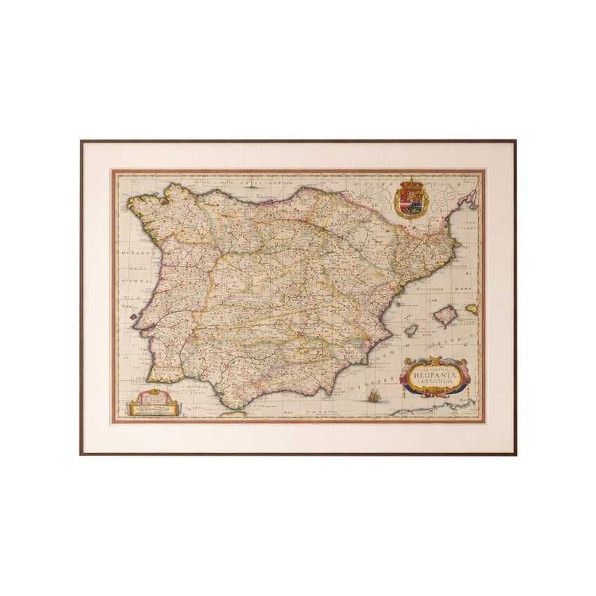
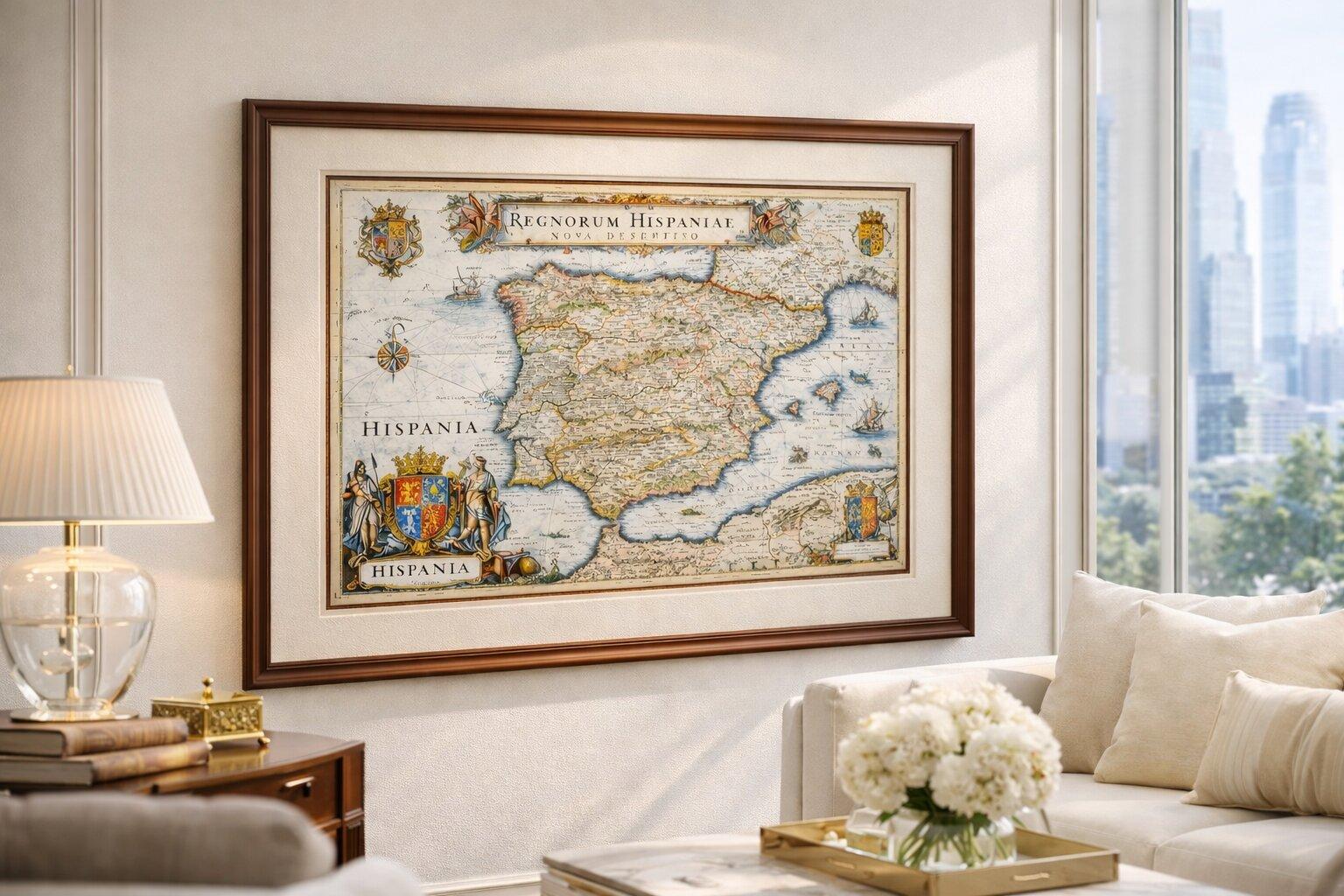
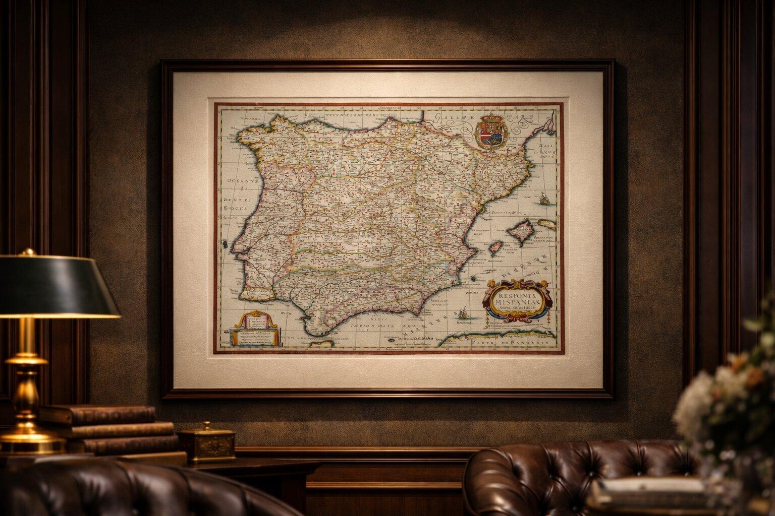
This is an original 17th-century copperplate engraving, printed at the time. It is not a modern reproduction. Any images showing the print framed are for presentation purposes only. The map is supplied unframed.
Condition report:
Very good condition for its age, with light, even age toning and minor scattered spotting. Central fold as issued. Margins slightly irregular, consistent with atlas sheets of the period. Plate mark visible. A strong, well-preserved impression with attractive original hand color.
Framing tips:
This map benefits from a classic museum-style presentation. A dark walnut or ebonized frame combined with a generous warm ivory mat will emphasize both the hand color and the decorative cartouche, creating a rich and timeless look. For a slightly lighter, more contemporary interior, a refined neutral mount with a thin black frame offers a clean, gallery-style aesthetic. Ideal for libraries, studies, or curated living spaces.
Keywords:
Spain map, Portugal map, Iberian Peninsula map, Blaeu Hispania, antique Spain map, 17th century map, Willem Blaeu, Dutch Golden Age cartography, Madrid, Lisbon, Barcelona, Seville, Valencia, Andalusia, Castile, Catalonia, Balearic Islands, European map, decorative map, cartouche map, hand colored map, antique atlas map, old map Spain Portugal
Technique: Copperplate engraving with original hand color
Maker: Willem Jansz. Blaeu, Amsterdam, c.1642