
Maps & PrintsBartele Gallery · Langweer
Home / Antique Maps / Europe / Southern Europe

Southern Europe

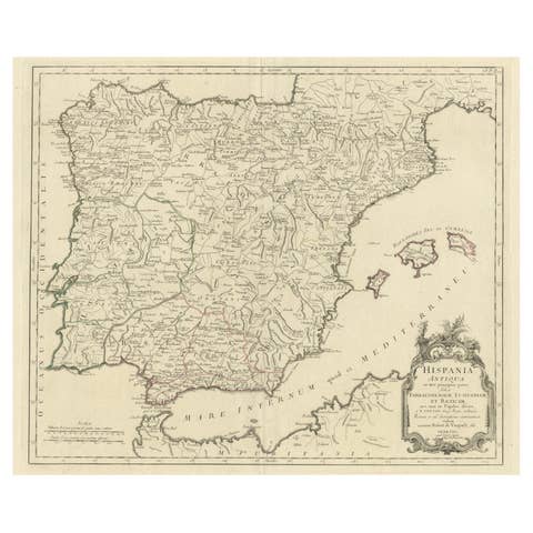
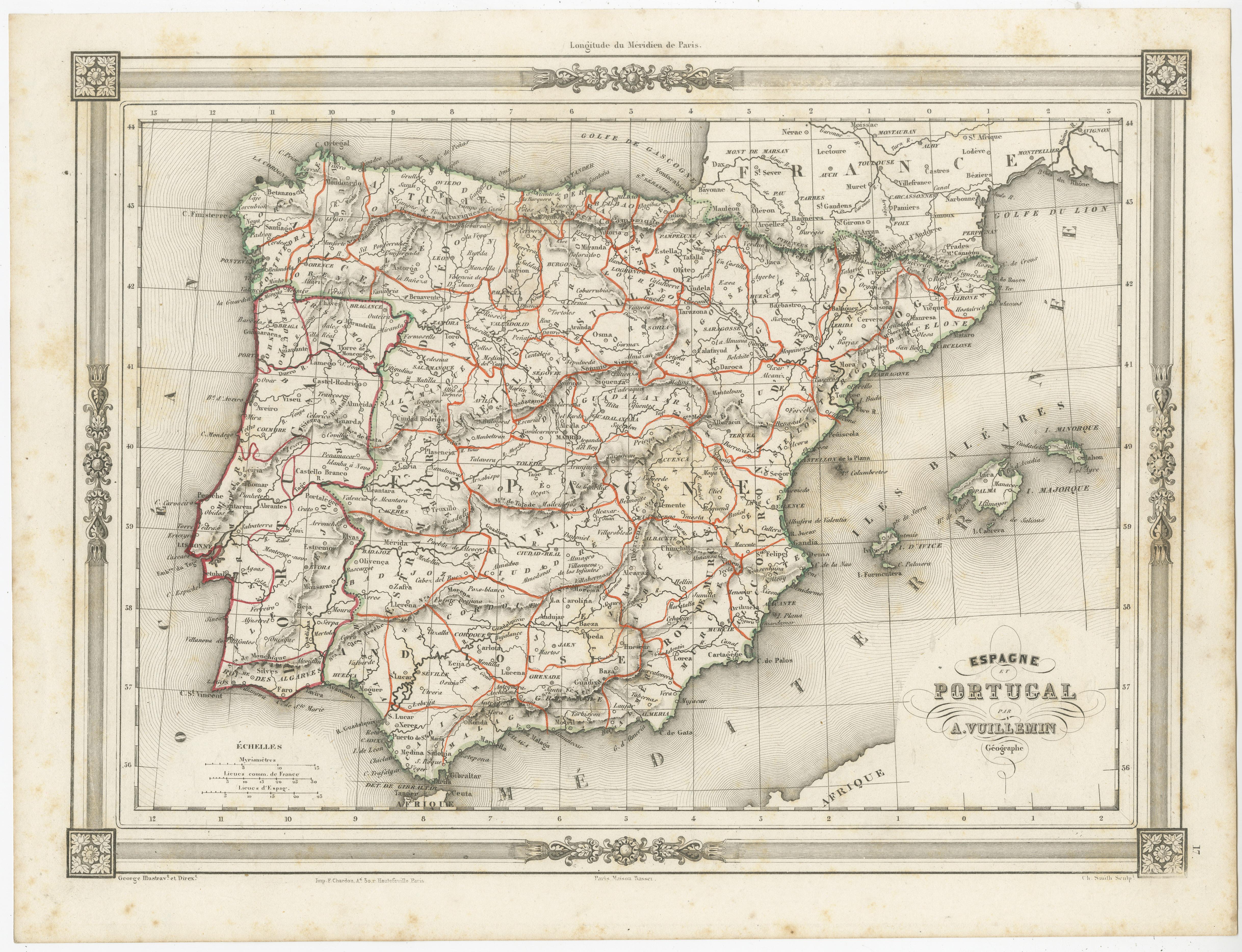
Antique Map of Spain and Portugal, with Frame Style Border

€ 120

One of a kind: this is the sheet in the photographs. Ships from Langweer, the Netherlands.

Sheet size
25.7 × 33.8 cm (10.1 × 13.3 in)
Condition
Fair
Reference
BG-13379-15

Condition

General age-related toning. Shows soiling and foxing, blank verso. Please study image carefully.

About this sheet

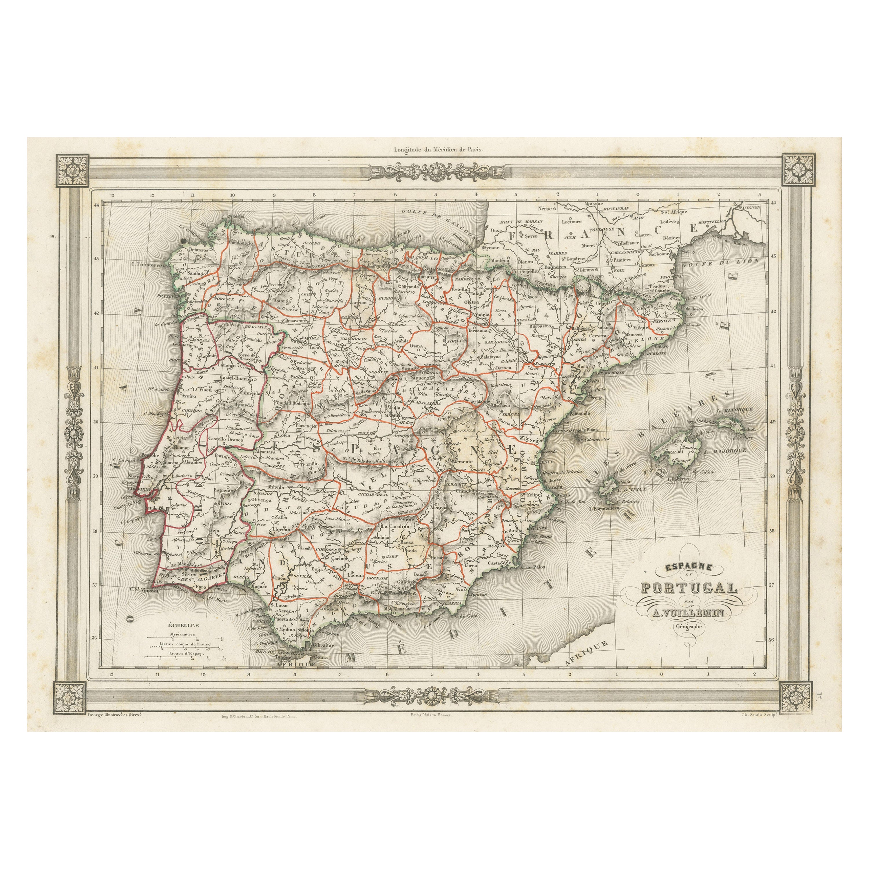
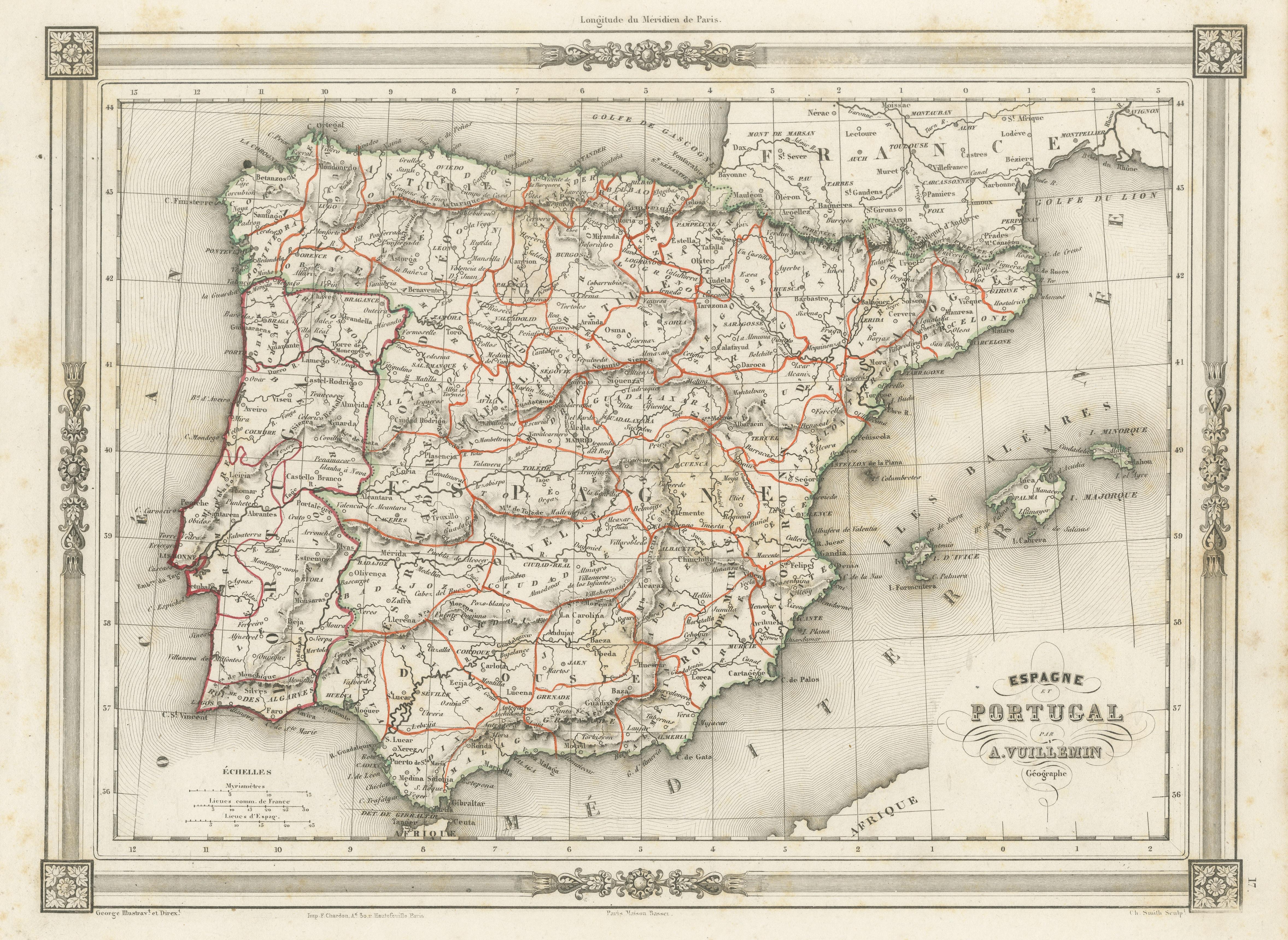
Antique map titled 'Espagne et Portugal'. Attractive map of Spain and Portugal. The map covers all of Spain and Portugal from France to the Mediterranean Sea and includes the Balearic Islands of Ibiza, Majorca, and Minorca. This map originates from Maison Basset's 1852 edition of 'Atlas Illustre Destine a l'enseignement de la Geographie elementaire'.

More from Southern Europe

Ask about this sheet

Antique Map of Spain and Portugal, with Frame Style Border
Ref. BG-13379-15 · € 120
We reply by email, usually within one working day.