About this sheet
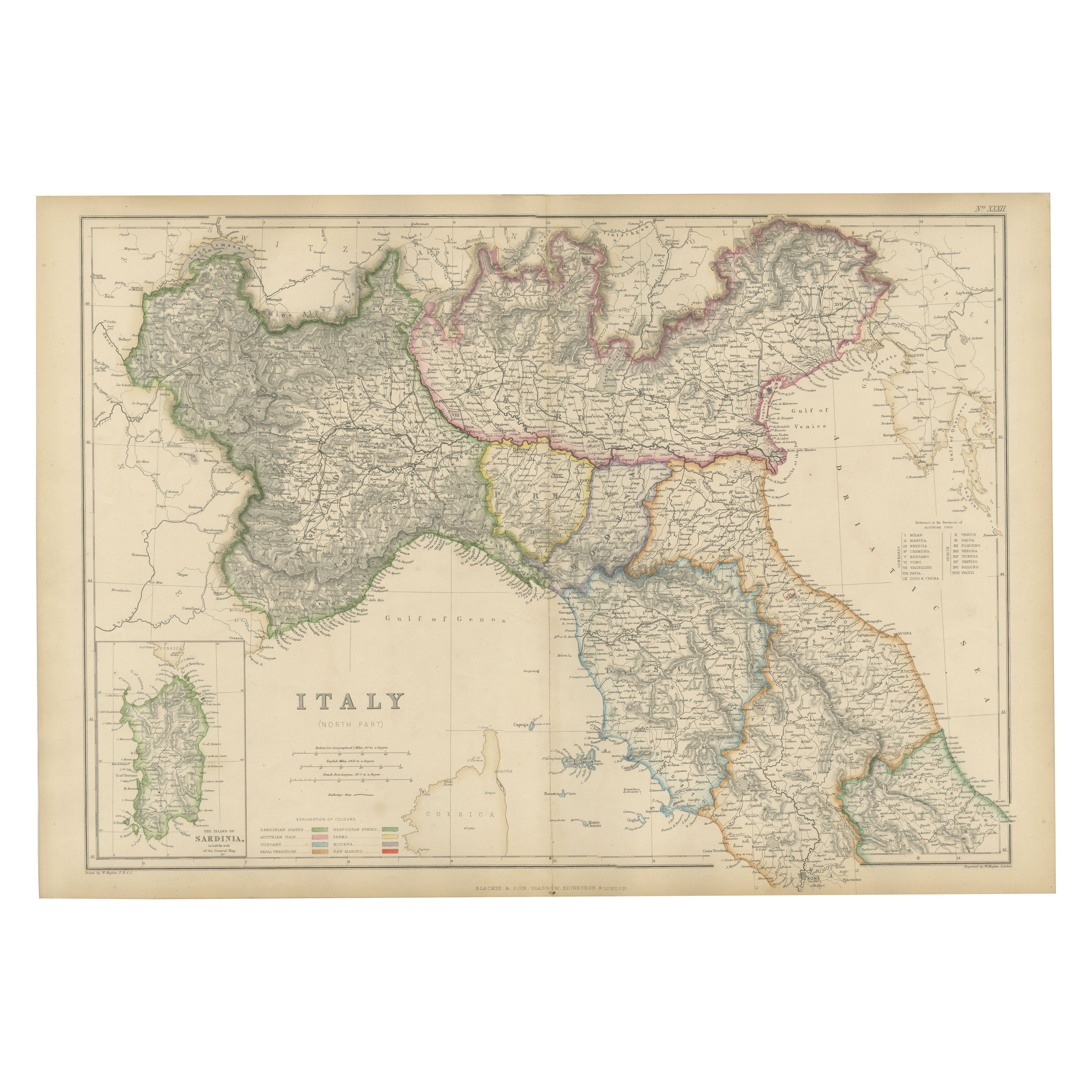
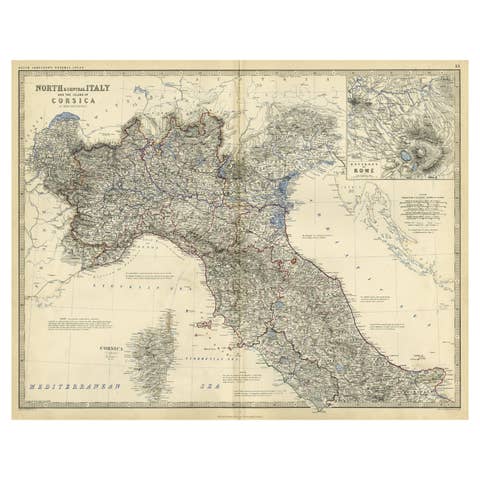
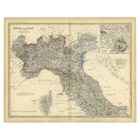
Northern Italy Map, Antique Hand-Colored Political Map, Italy Risorgimento 1860
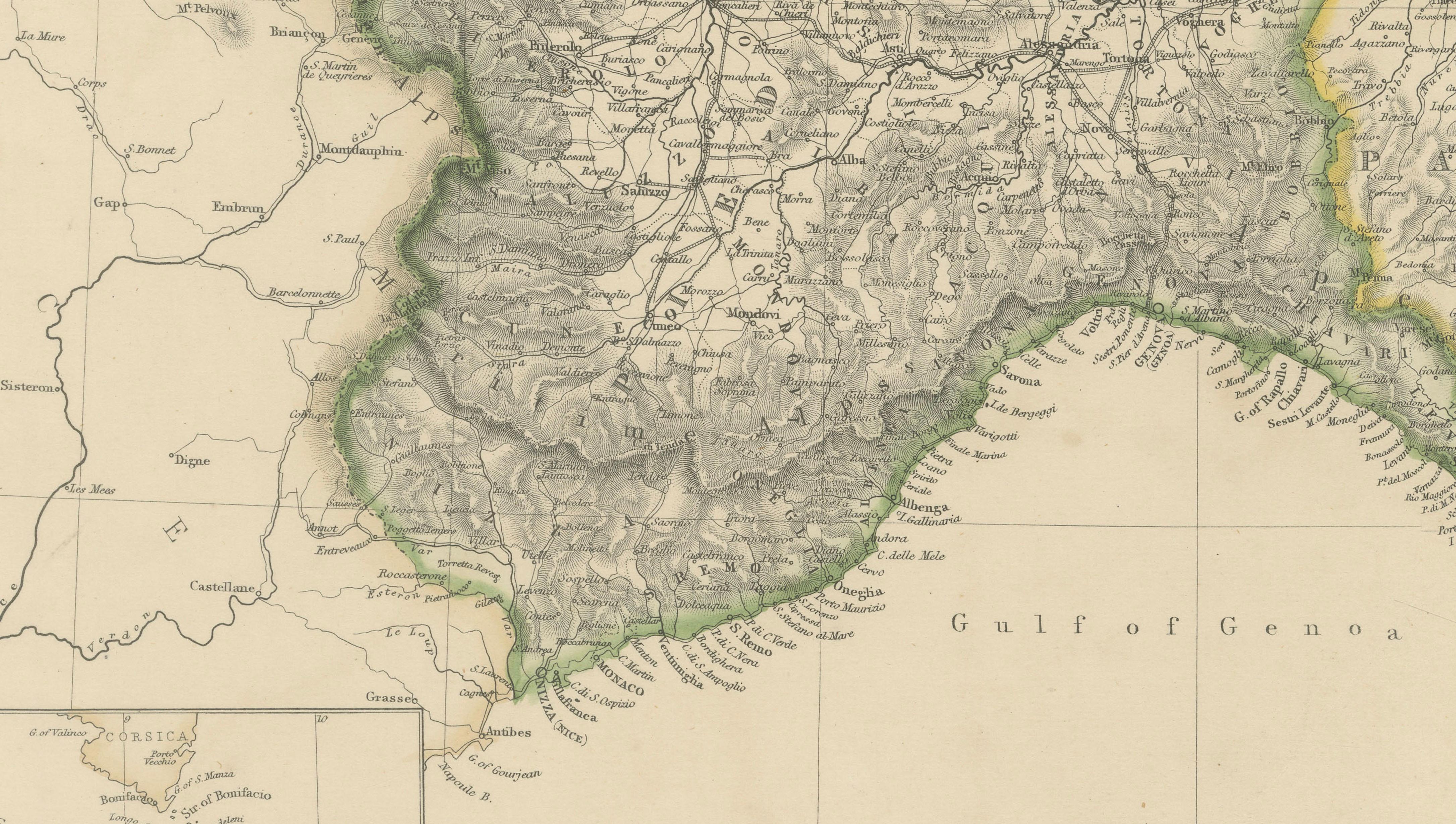
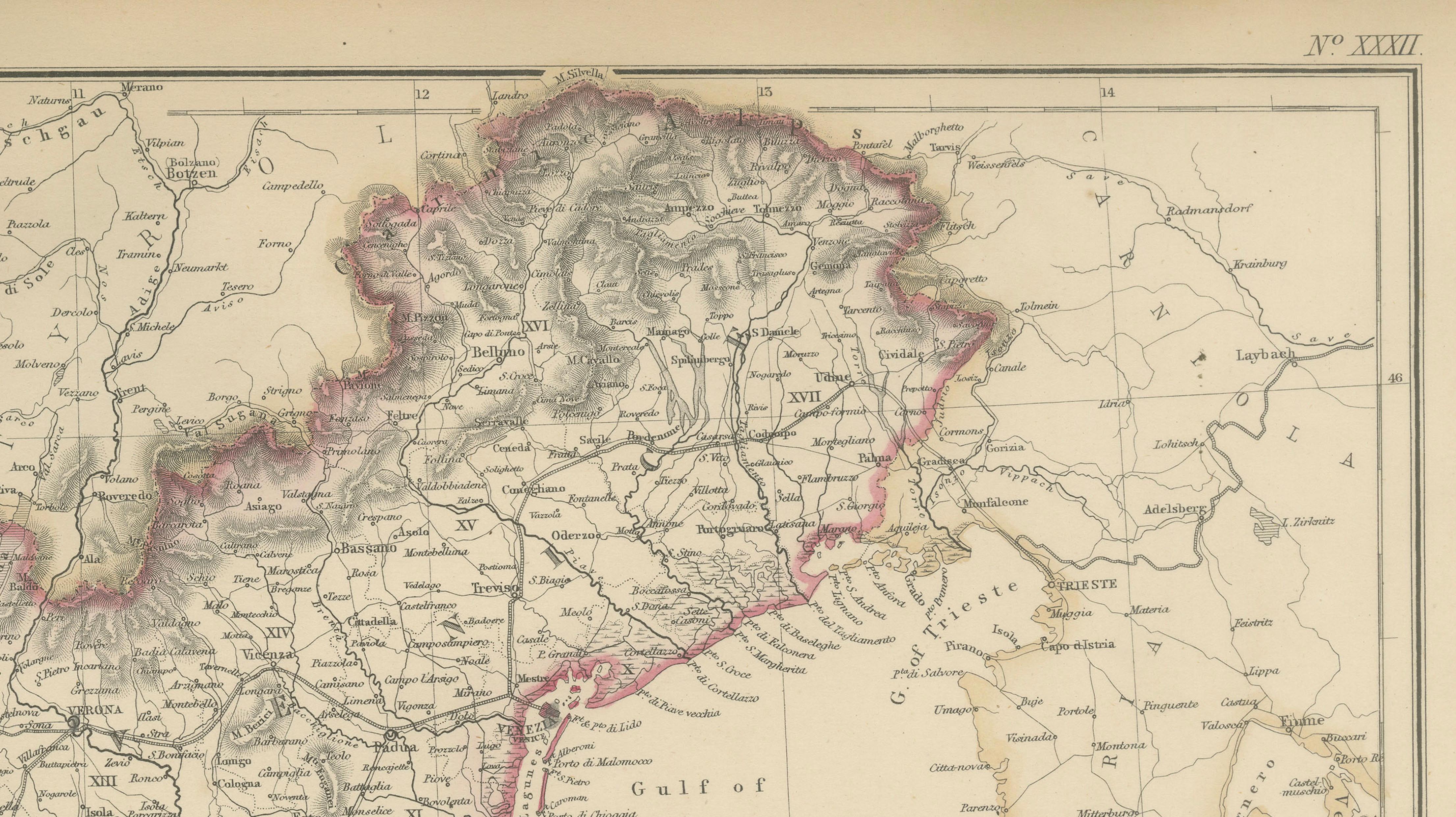
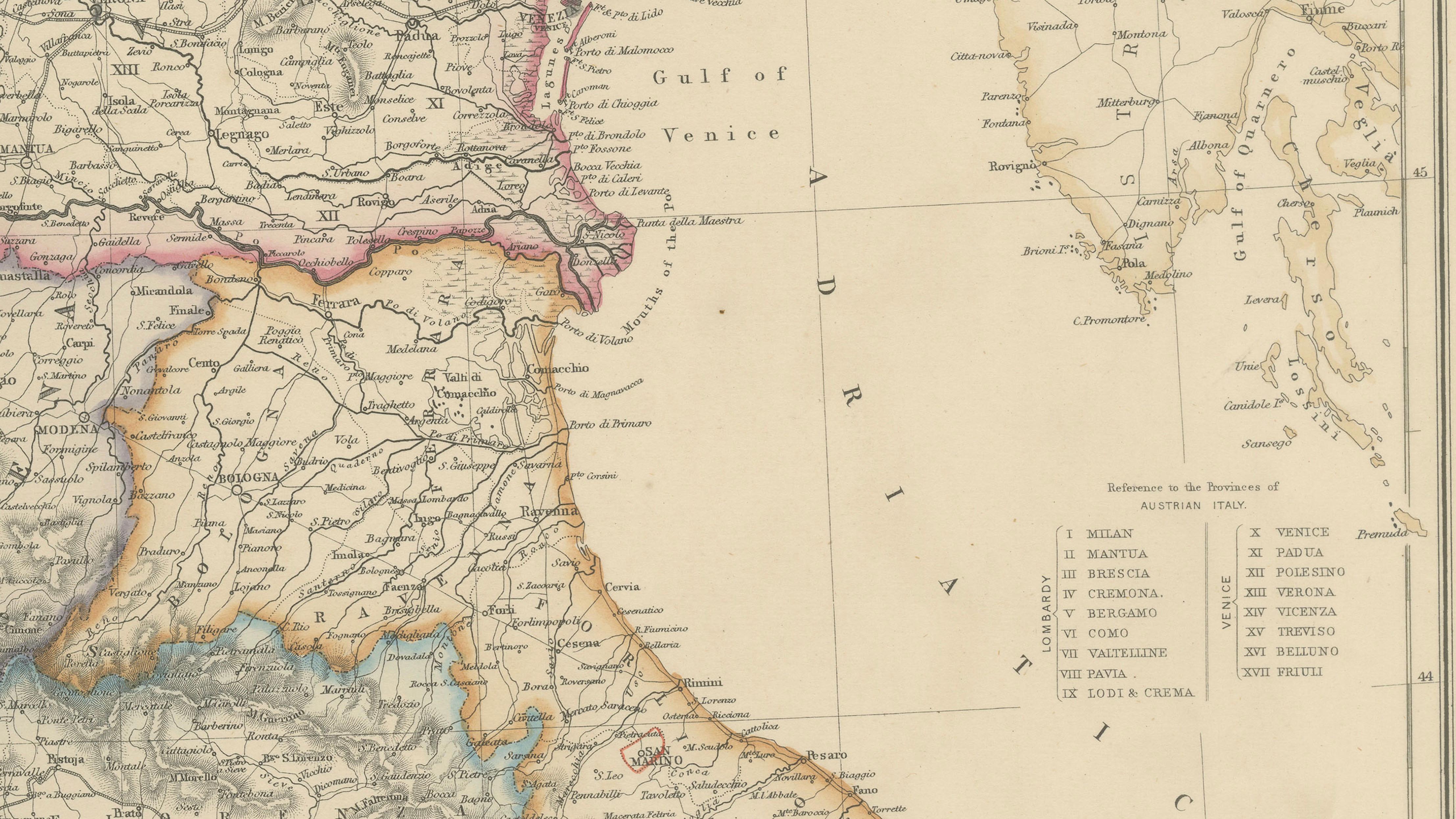
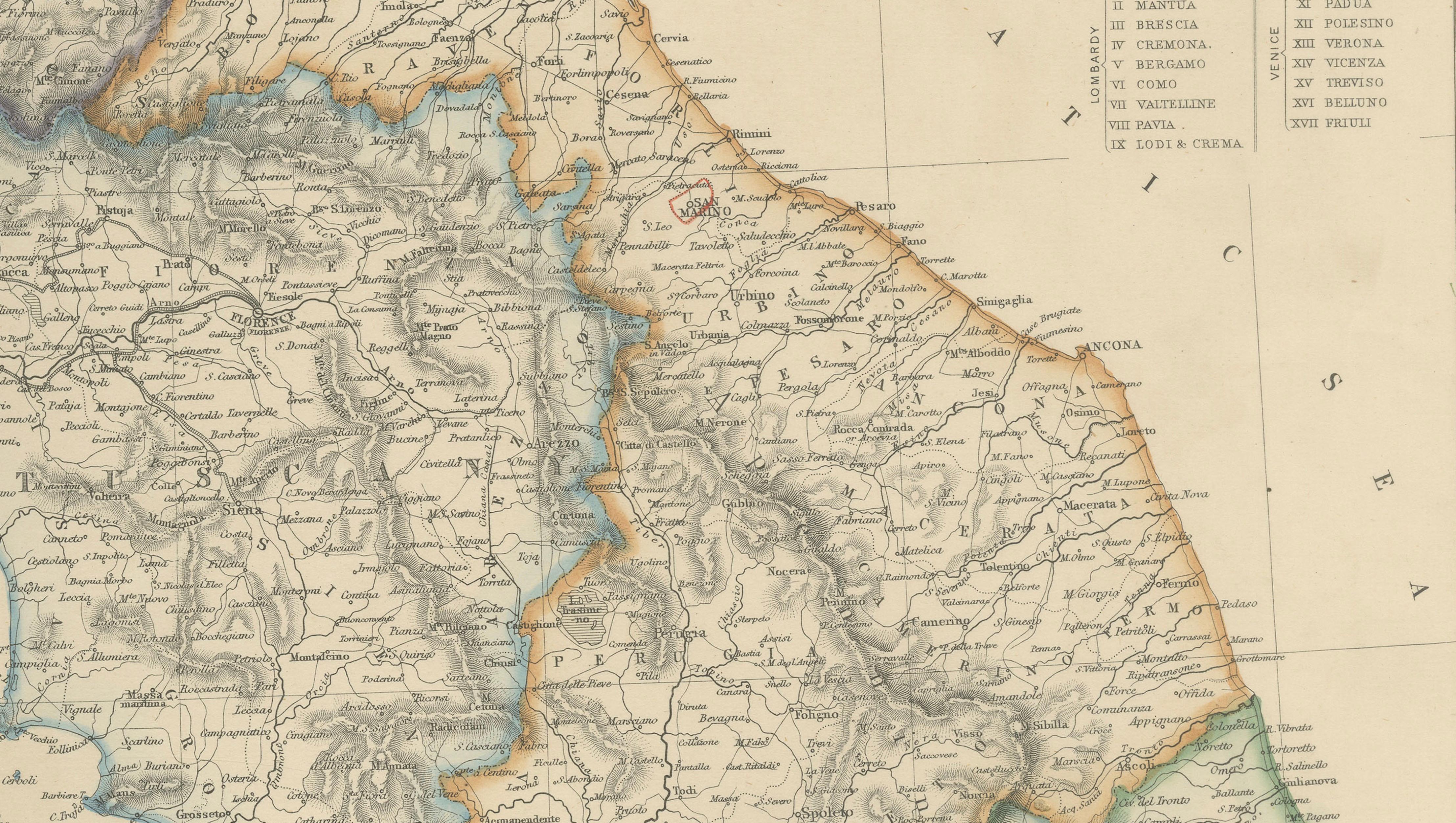
This finely detailed antique map depicts Northern Italy during the pivotal period of Italian unification, capturing the political landscape of the Italian peninsula on the eve of the Risorgimento. Issued in 1860 as part of The Imperial Atlas of Modern Geography* the map was published by W. G. Blackie & Son and reflects British cartographic scholarship at a moment of major European transformation.
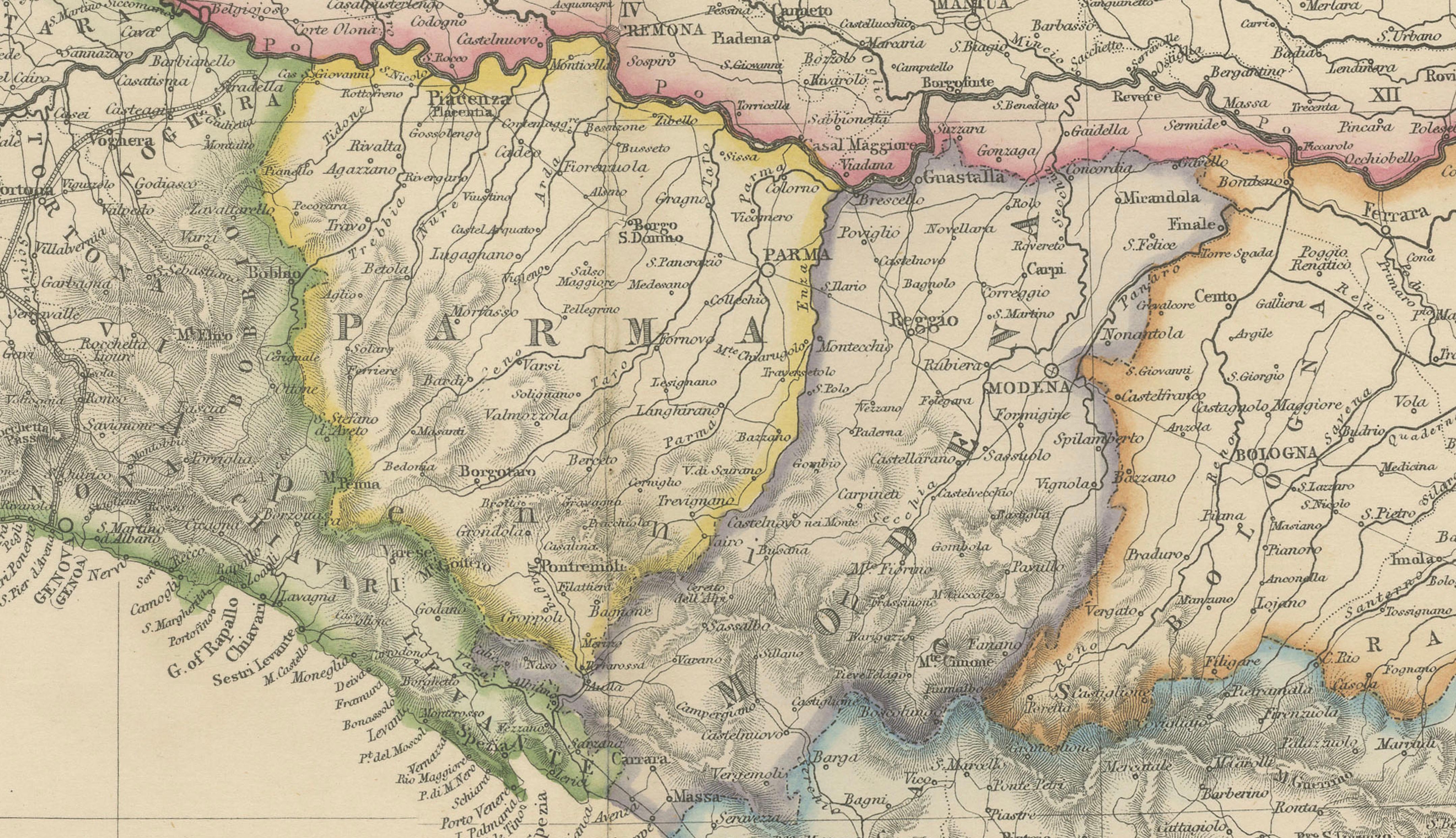
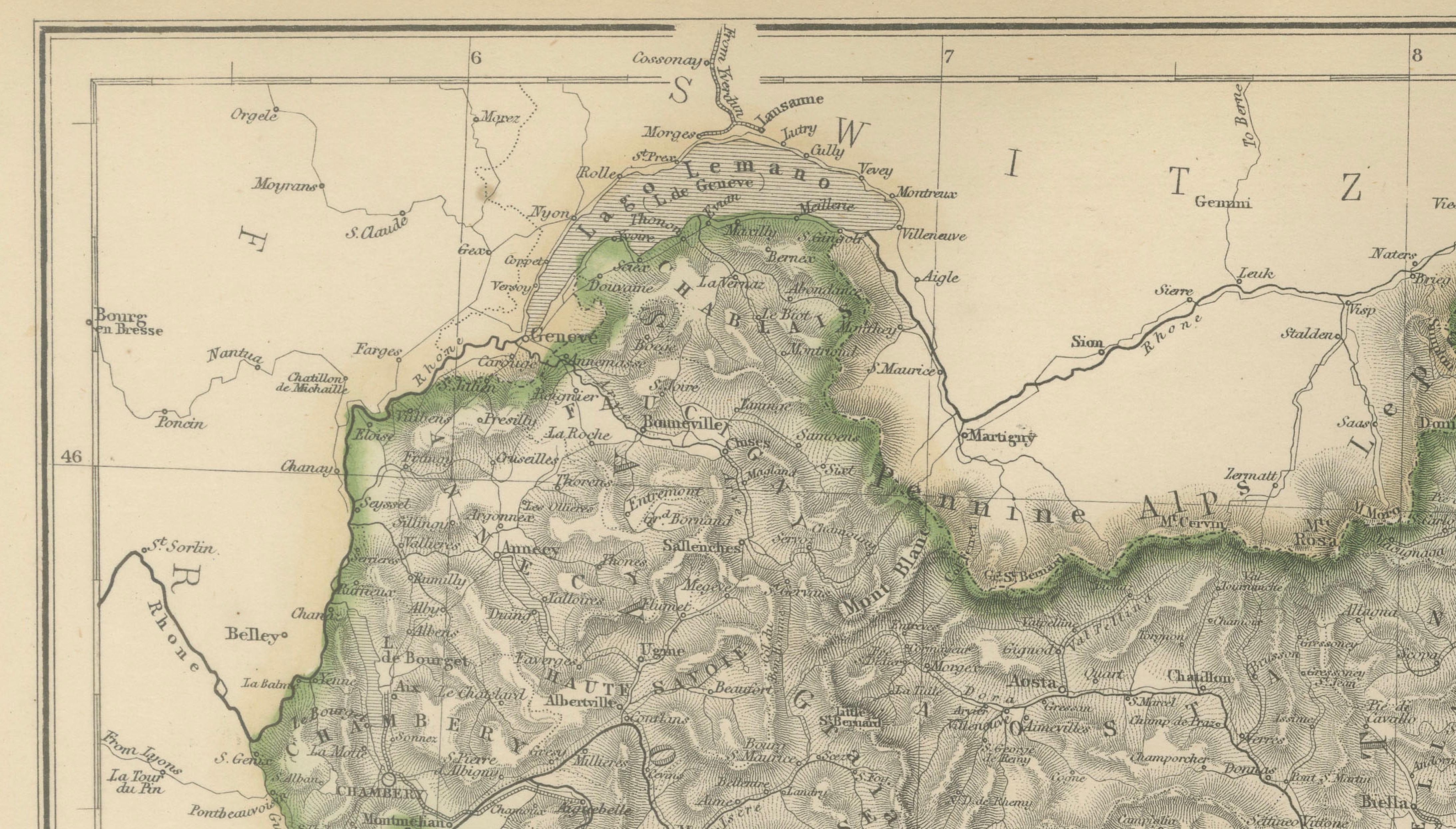
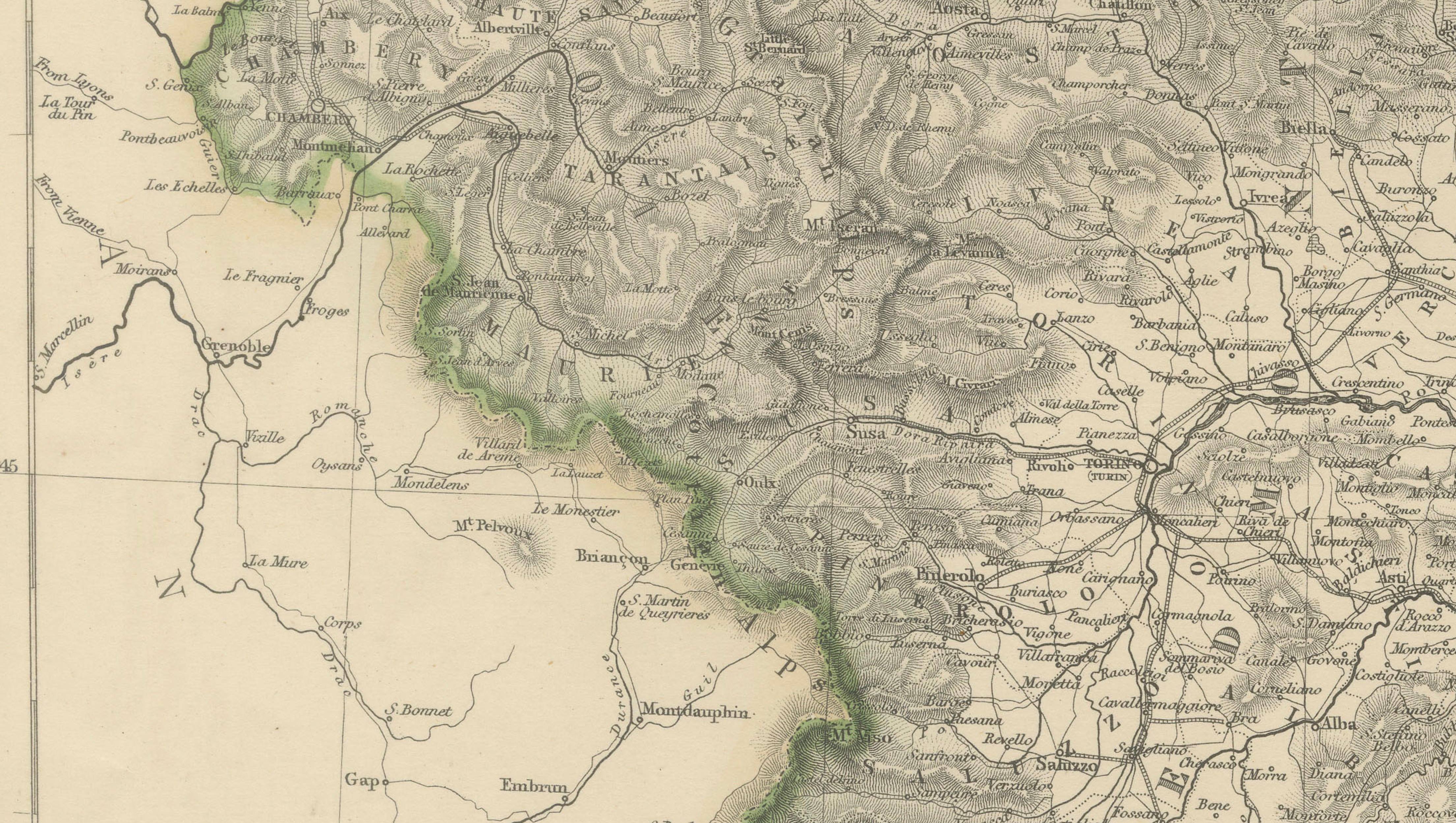
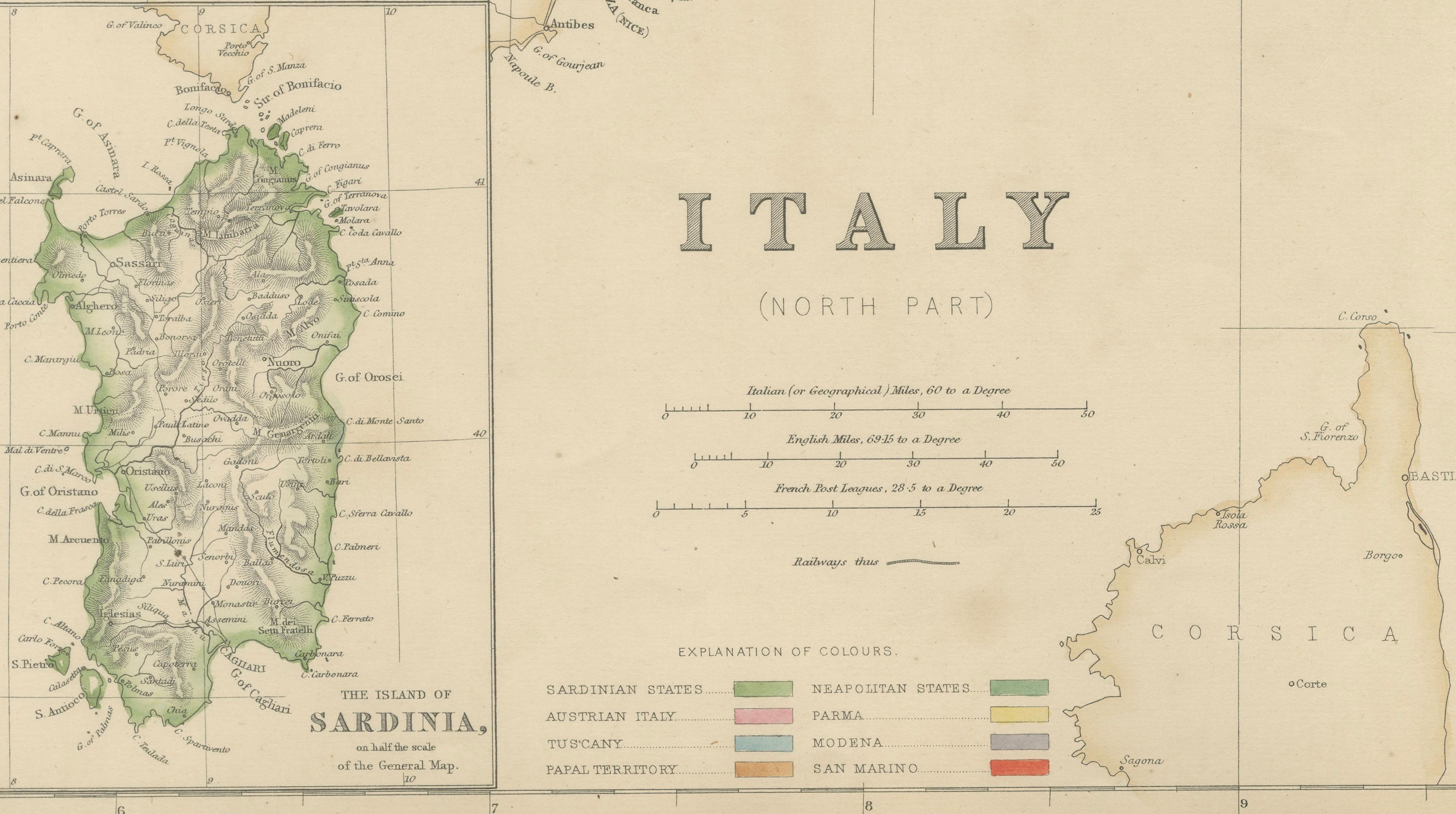
The map covers Lombardy, Piedmont, Venetia, Tuscany, Liguria, Emilia-Romagna, and the Papal States, with borders carefully hand-colored to distinguish the various states and spheres of influence, including Austrian-controlled territories. Major cities such as Milan, Turin, Venice, Genoa, Florence, Bologna, and Verona are clearly marked, alongside an extensive network of rivers, roads, and towns. Natural features are rendered with delicate engraved relief, showing the Alps, Apennines, and the fertile Po Valley in fine detail.
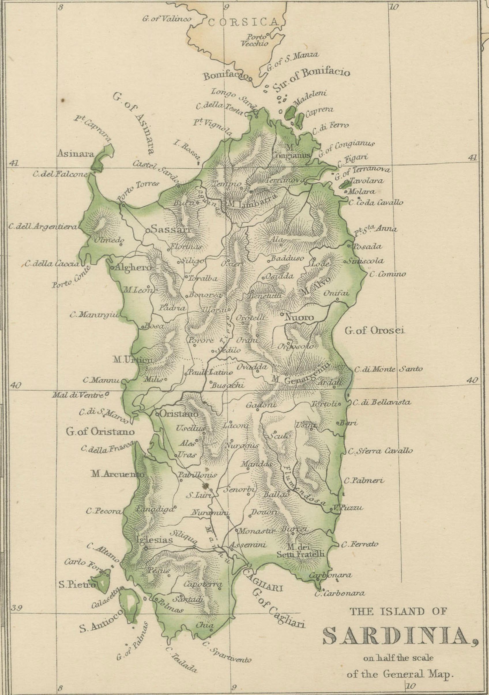
An inset map of Sardinia appears in the lower left, emphasizing the strategic importance of the Kingdom of Sardinia, which would soon become the driving force behind Italian unification. The composition balances political clarity with refined topographical engraving, making it both an informative historical document and a visually elegant work on paper.
Produced for an English-speaking audience, this map reflects 19th-century British interest in continental politics, geography, and emerging nation-states. Today, it appeals equally to collectors of antique maps, historians of Italy, and interior designers seeking a sophisticated and intellectually resonant wall piece.
Condition report:
Good antique condition. Light overall toning consistent with age; minor scattered foxing and faint surface marks, mainly in the margins. Original fold lines as issued. Plate mark visible.
Framing tips:
This map presents beautifully in a dark walnut, black, or antiqued gold frame with a generous ivory or warm cream mat. Museum-style framing enhances the fine engraved detail and complements both classic and contemporary interiors.
Technique: Copper engraving with original hand coloring
Maker: W. G. Blackie & Son, Glasgow, Edinburgh & London, 1860
Keywords:
Italy north map, Northern Italy, antique Italy map, 1860 map, Italian unification, Risorgimento era, Lombardy, Piedmont, Sardinia, Kingdom of Sardinia, Savoy, Liguria, Genoa, Gulf of Genoa, Tuscany, Florence, Parma, Modena, Papal States, Venetia, Venice, Austrian Lombardy, Milan, Turin, Po Valley, River Po, Alps, Alpine passes, Apennines, Lake Maggiore, Lake Como, Lake Garda, Adriatic coast, Tyrrhenian coast, Emilia Romagna, Bologna, Verona, Vicenza, Padua, Trieste, Istria, Dalmatian coast, Corsica, Sardinia inset, Mediterranean Sea, Adriatic Sea, 19th century cartography, Victorian atlas map, Imperial Atlas, W G Blackie, Blackie and Son, hand colored map, copper engraving, political boundaries, historical borders, pre-unification Italy, European geography, antique wall map, library decor, study wall art, collector map, interior design art, educational atlas, classic cartography, Grand Tour Italy, San Marino