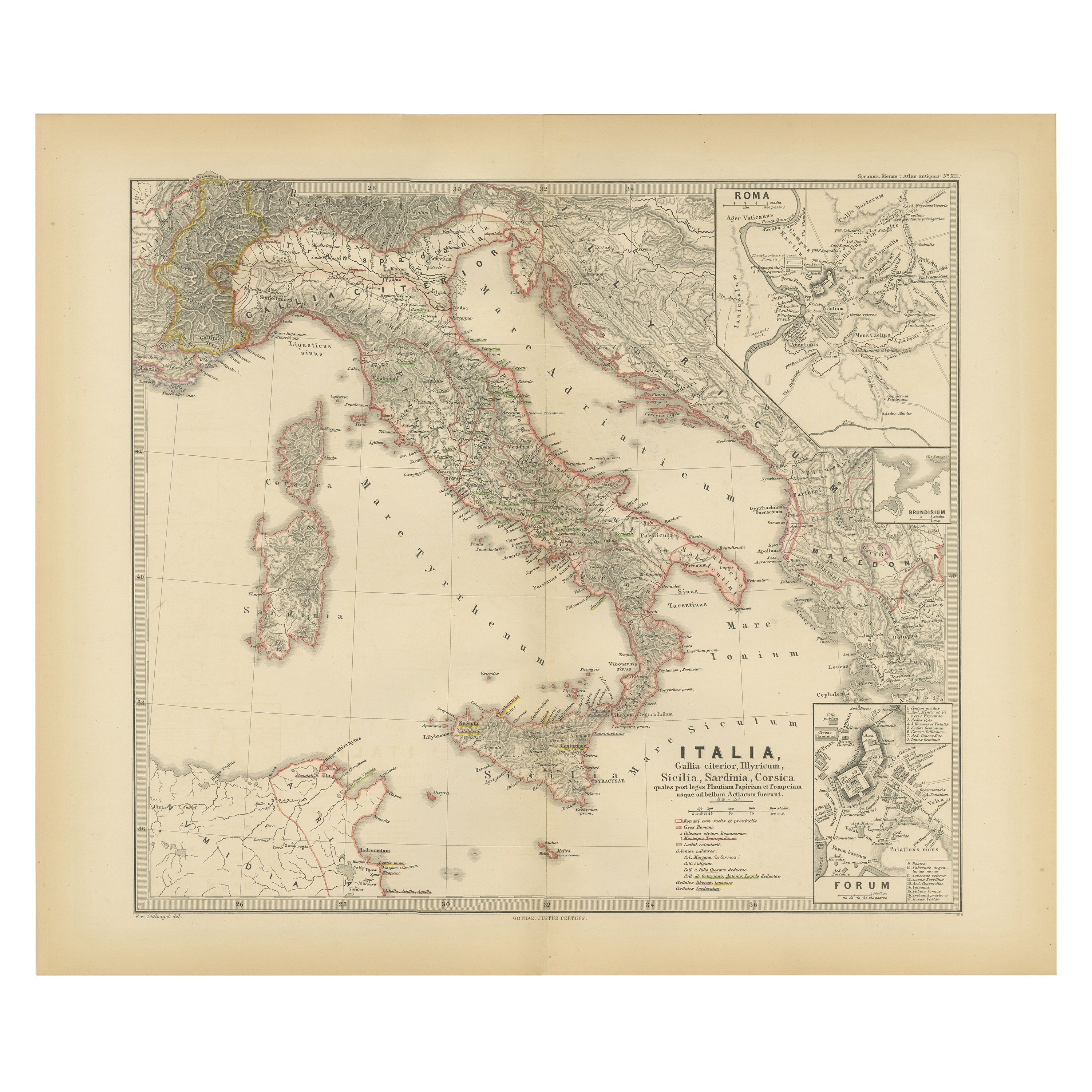
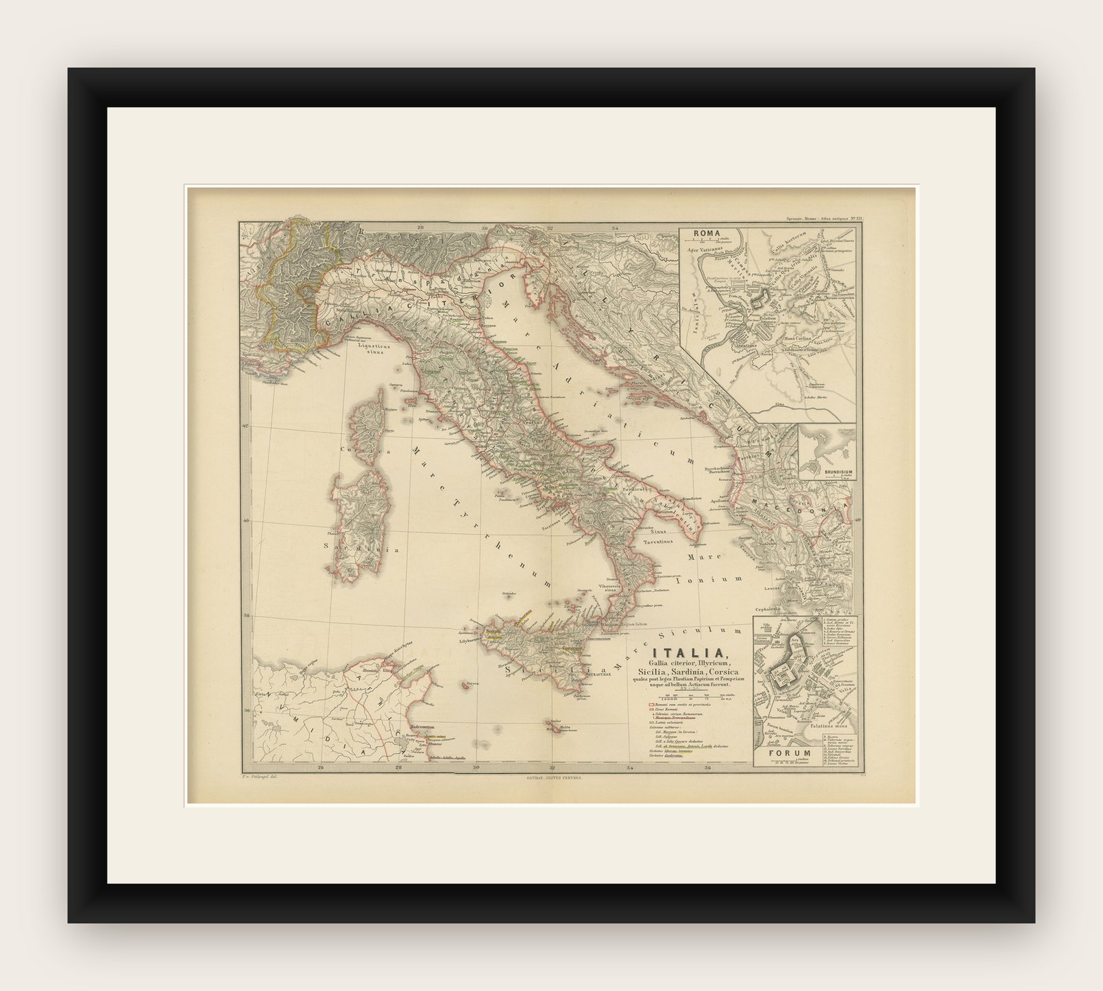
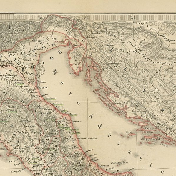
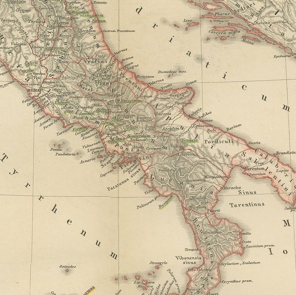
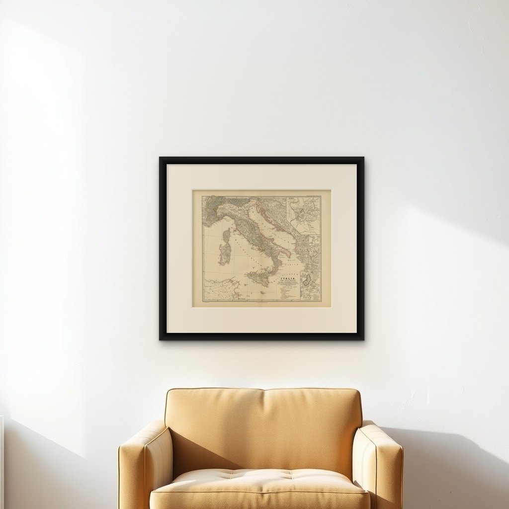
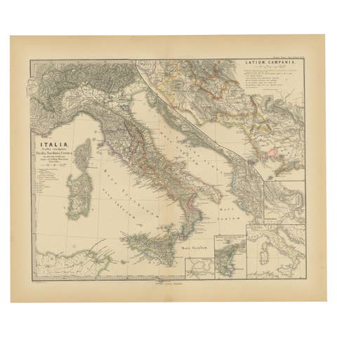
Map of The Italian Peninsula with the islands of Sicily, Sardinia, Corsica, 1880
€ 370
Original antique · The actual sheet photographed · Certificate of authenticity on request · Sold unframed · Worldwide shipping from € 15 (rates)
Date
1880
Sheet size
39.5 × 47 cm (15.6 × 18.5 in)
Condition
Good
Reference
BG-13686-2-30
What the condition grades mean
Excellent
Bright and clean, with no faults worth mentioning.
Very good
Only light signs of age, such as faint toning.
Good
Normal signs of age for a sheet of this period: toning, some foxing, small marks or neat old repairs.
Fair
Clear faults such as staining, tears or repairs, priced to match.
Every fault we see is written in the condition note, and the whole sheet is shown uncropped in the photos.
Condition
Good, given age. General age-related toning, especially around the edges. The vertical folding line as issued. Please study scan carefully.
About this sheet
This map, titled "ITALIA, Sicilia, Sardinia, Corsica," represents the Italian Peninsula along with the islands of Sicily, Sardinia, and Corsica. Inset maps offer detailed views of "Roma" with an elaborate depiction of the ancient Roman Forum, signifying its significance as a center of political, religious, and social life in the Roman Republic and Empire.
From the "Spruner-Menke Atlas Antiquus," this map is a work by Karl Spruner von Merz, later revised by Theodorus Menke. Known for meticulous historical cartography, the atlas served as an academic resource, depicting various regions through different historical eras.
The period depicted might be during the Roman Republic or early Empire, indicated by the prominent display of the Roman Forum in the inset, which was the core of Roman public life during these times.
The map is interesting for several reasons:
This map would be particularly useful for those interested in the geographical aspects of ancient Rome, the development of its provinces, and the broader historical context of the Mediterranean region during antiquity.