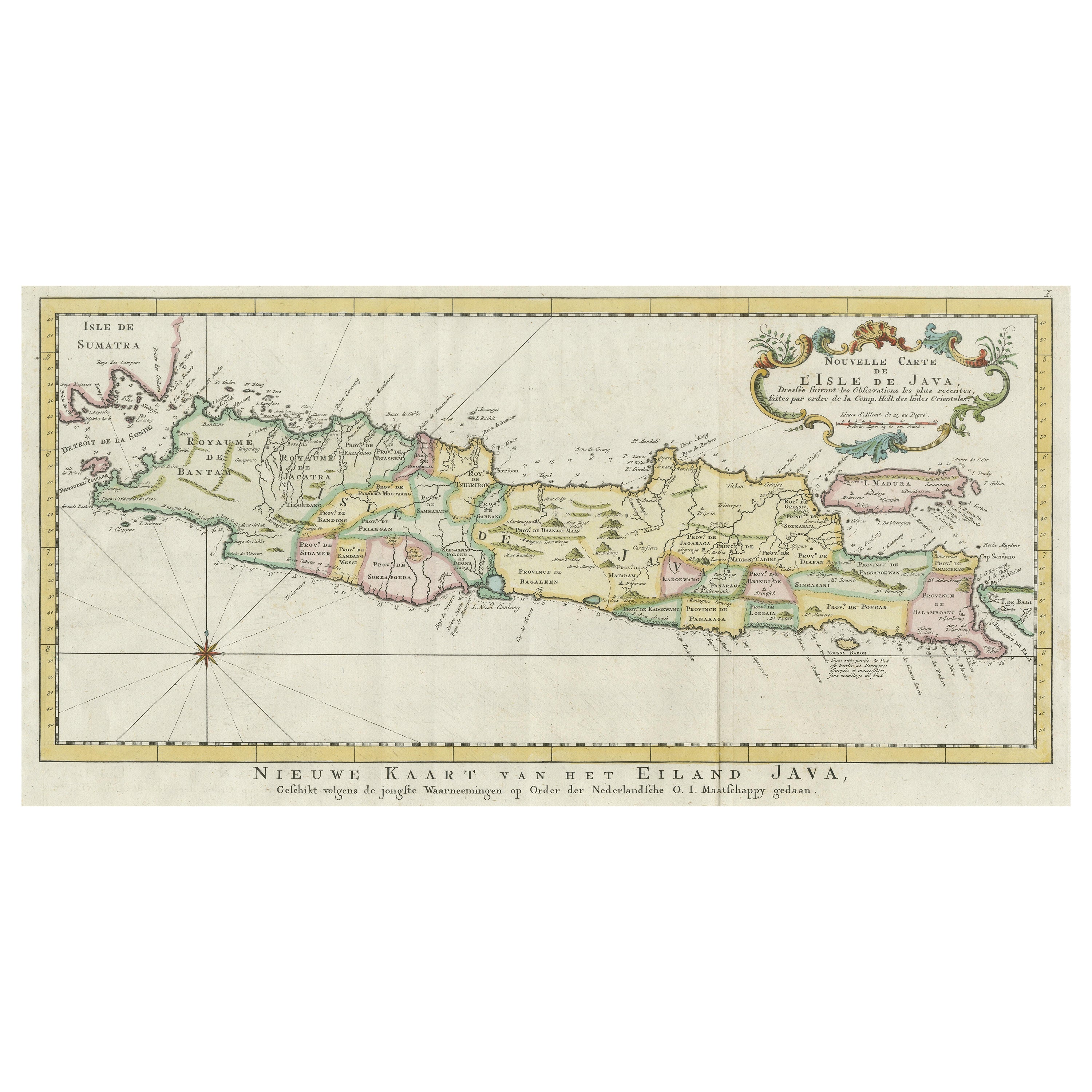
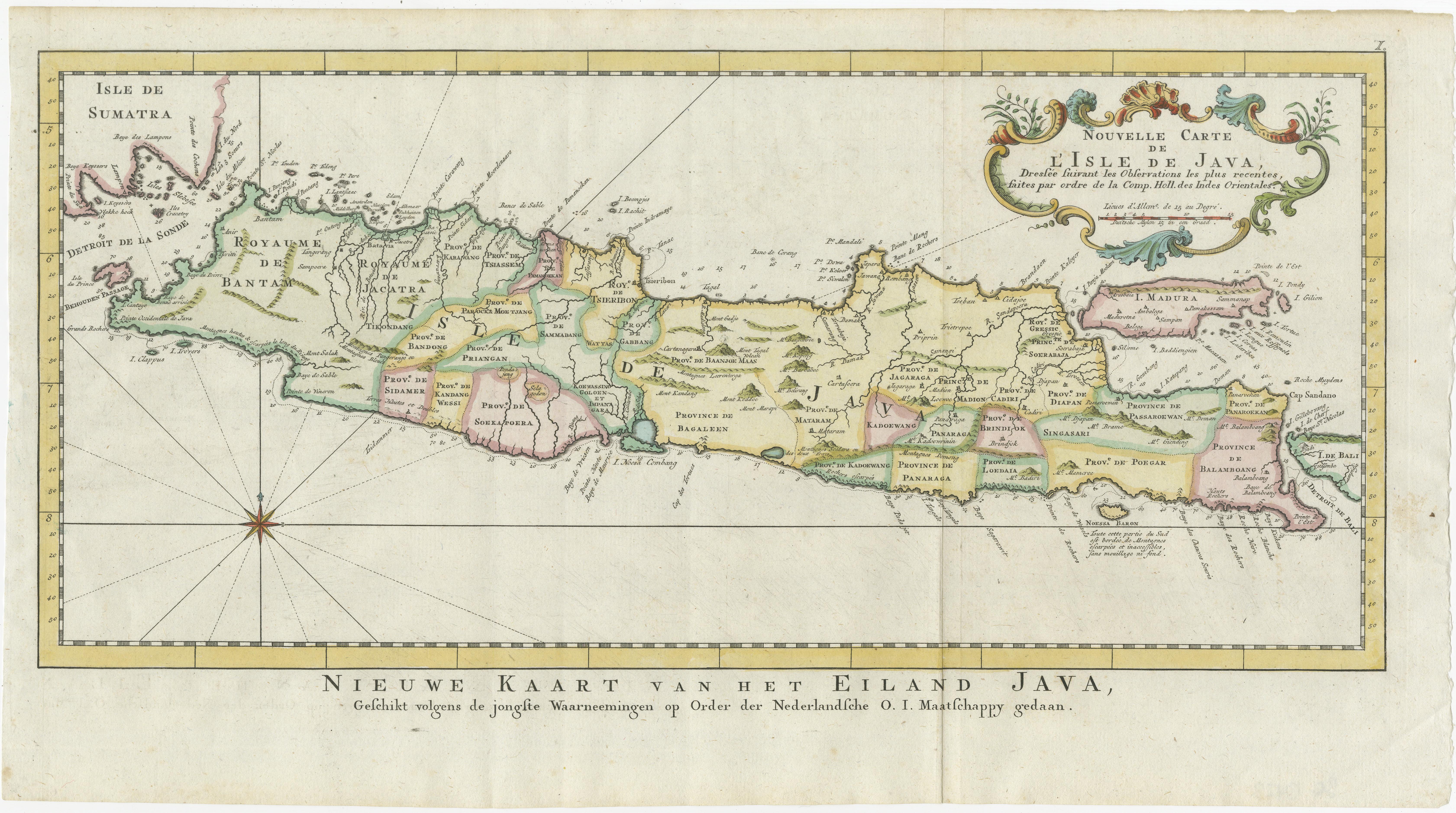
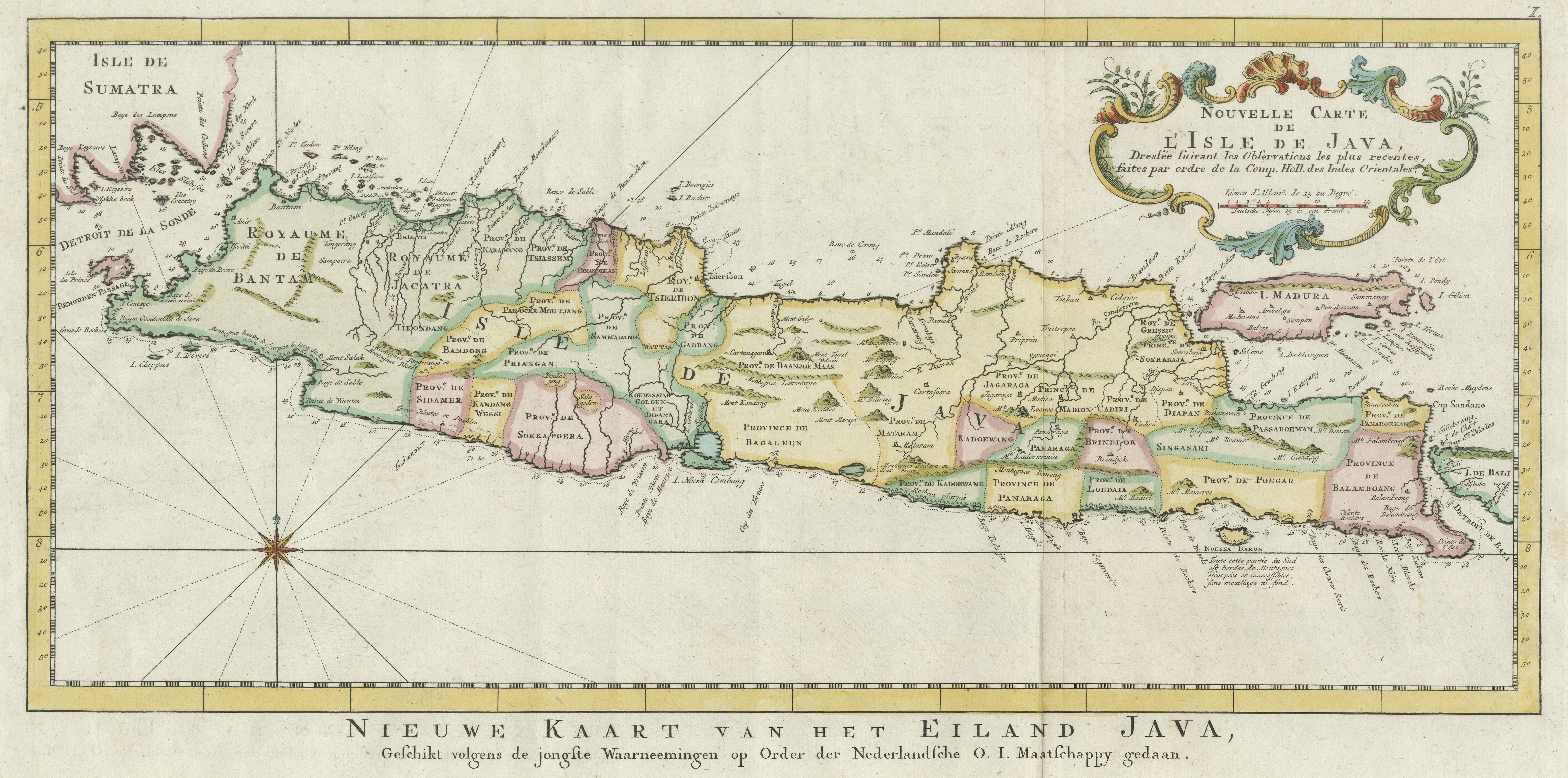
One of a kind: this is the sheet in the photographs. Ships from Langweer, the Netherlands.
Sheet size
26 × 47.5 cm (10.2 × 18.7 in)
Condition
Good
Reference
BG-13423
Condition
General age-related toning. Original folding lines. Minor wear and soiling, light creasing. Blank verso. Please study image carefully.
About this sheet
Antique map titled 'Nouvelle Carte de l'Isle de Java (..) - Nieuwe Kaart van het Eiland Java (..)'. Chart of the island of Java, depicting soundings around the coast, all principal harbors, rivers and elevations, bays and points, settlements and provinces. Included are Madura, Bali, Sunda Strait and the southeastern tip of Sumatra. By J.N. Bellin from 'Atlas portatif' by Francois Raynal.
Made by J. van Schley after J.N. Bellin. Jacques Nicolas Bellin (1703 - 1772) was a French hydrographer, geographer, and member of the French intellectual group called the philosophes.