
Maps & PrintsBartele Gallery · Langweer
Home / Antique Maps / Europe / Western Europe / Germany

Germany

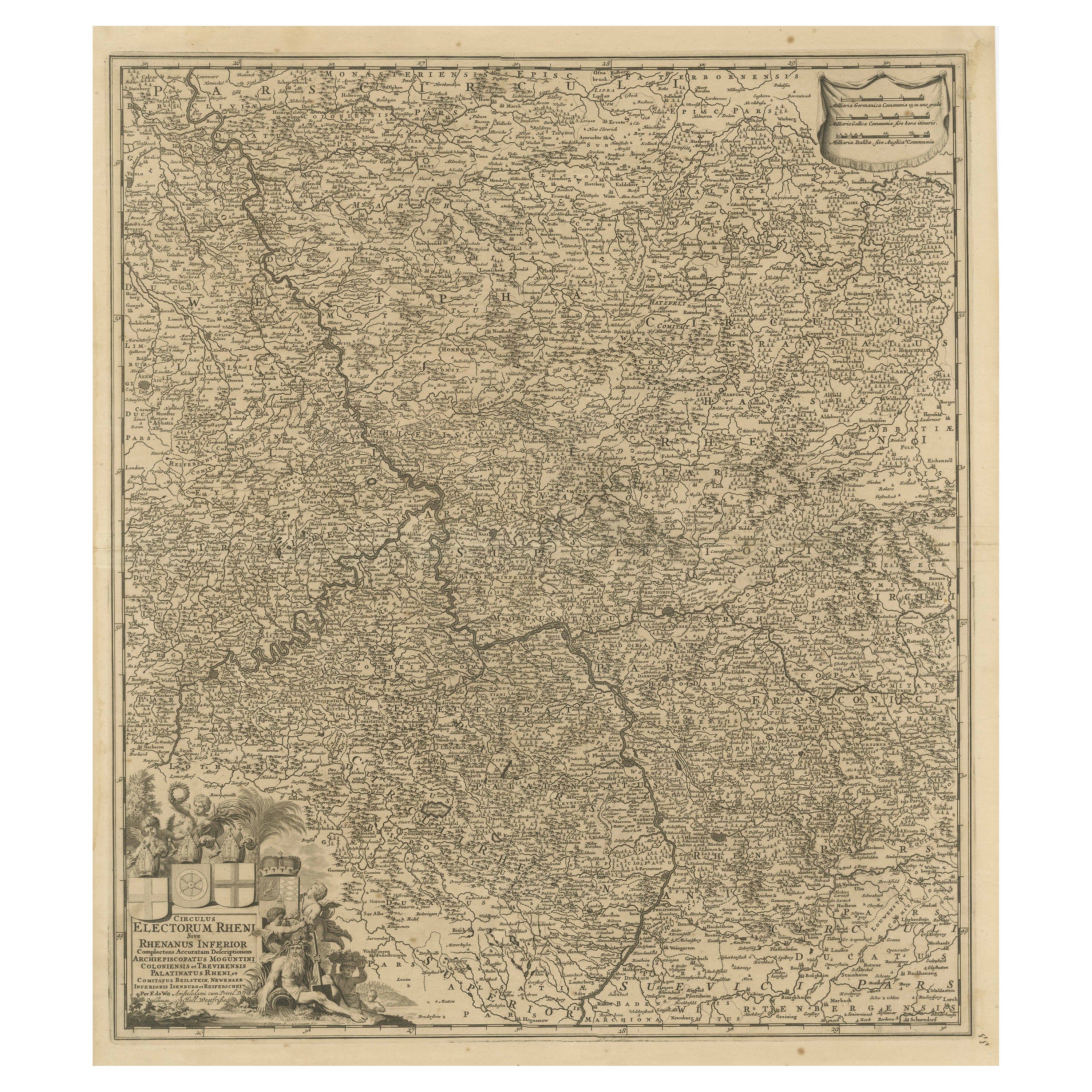

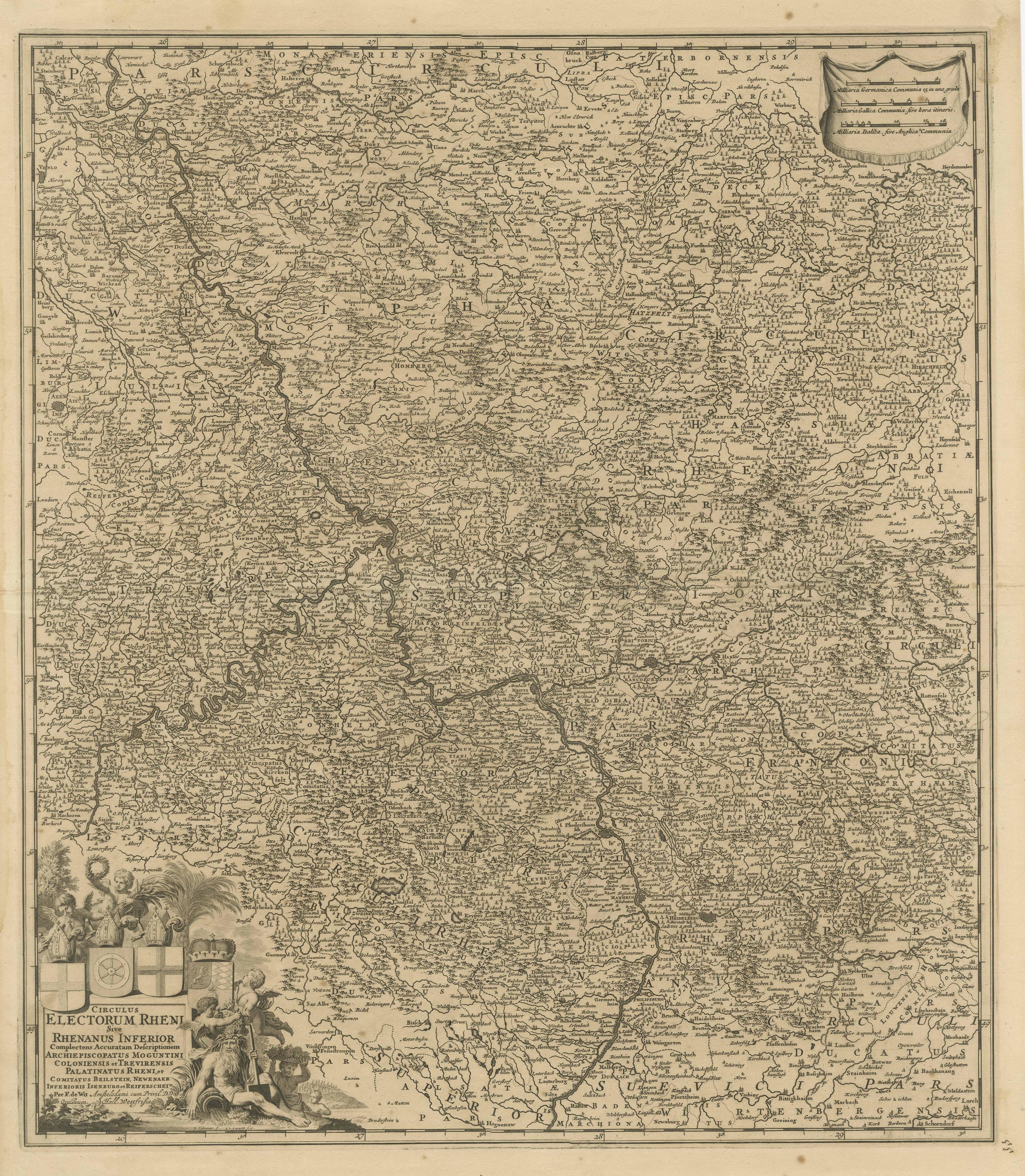
Antique Map of the Niederrhein region, Germany

€ 450

One of a kind: this is the sheet in the photographs. Ships from Langweer, the Netherlands.

Sheet size
64 × 53.7 cm (25.2 × 21.1 in)
Condition
Fair
Reference
BG-13442-9

Condition

Repaired: Small repair near 'Schipvoort'. General age-related toning. Original folding line. Shows light creasing. Small repair near 'Schipvoort'. Shows some soiling and staining. Blank verso. Please study image carefully.


About this sheet

Antique map titled 'Circulus Electorum Rheni sive Rhenanus Inferior (..)'. Original antique map of the Niederrhein region, Germany. By F. de Wit, circa 1690.
Frederick de Wit (1629-1706) was an engraver, cartographer and map dealer who ran a prominent and productive printing business in Amsterdam, founded in 1654. He published his first atlas in 1662. In 1695 he purchased a large collection of the plates of the prestigious Blaeu publishing business. After his death in 1706, his wife Maria continued in the business for four years before selling it at the auction. A majority of the plates were purchased by Pieter Mortier. His thriving and growing business eventually became Covens & Mortier, one of the largest and most successful cartography and printing businesses of the eighteenth century.

More from Germany

Ask about this sheet

Antique Map of the Niederrhein region, Germany
Ref. BG-13442-9 · € 450
We reply by email, usually within one working day.





