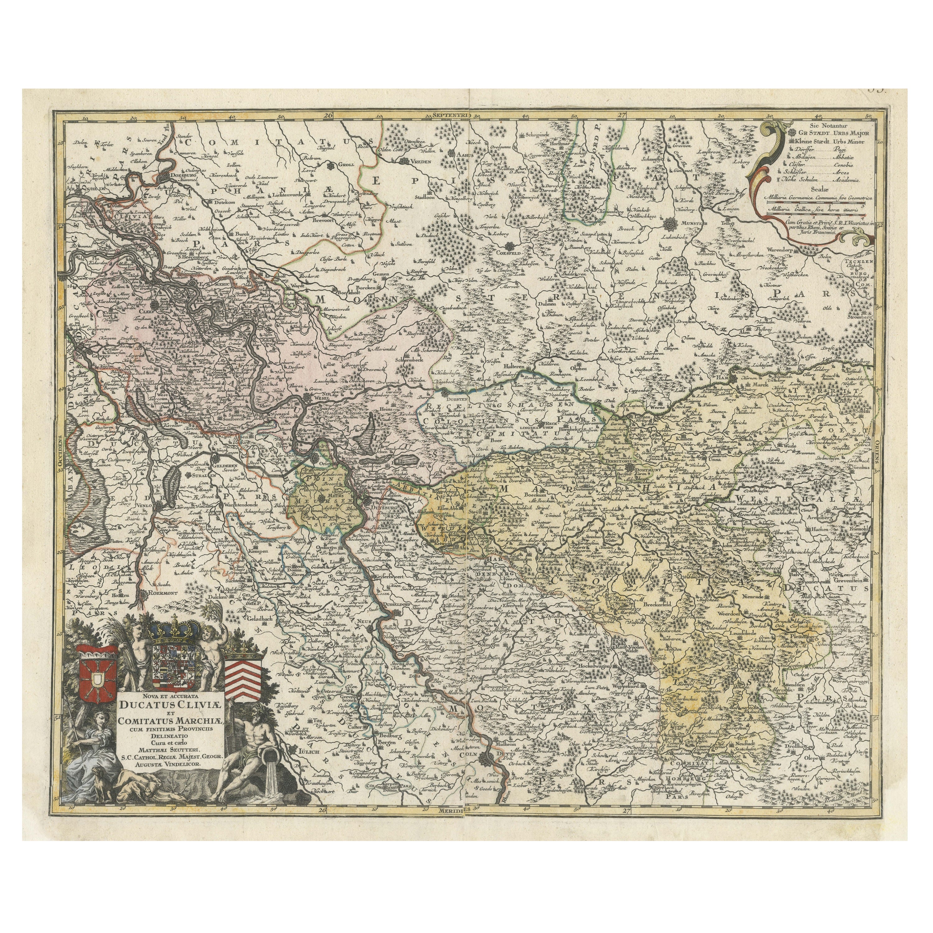

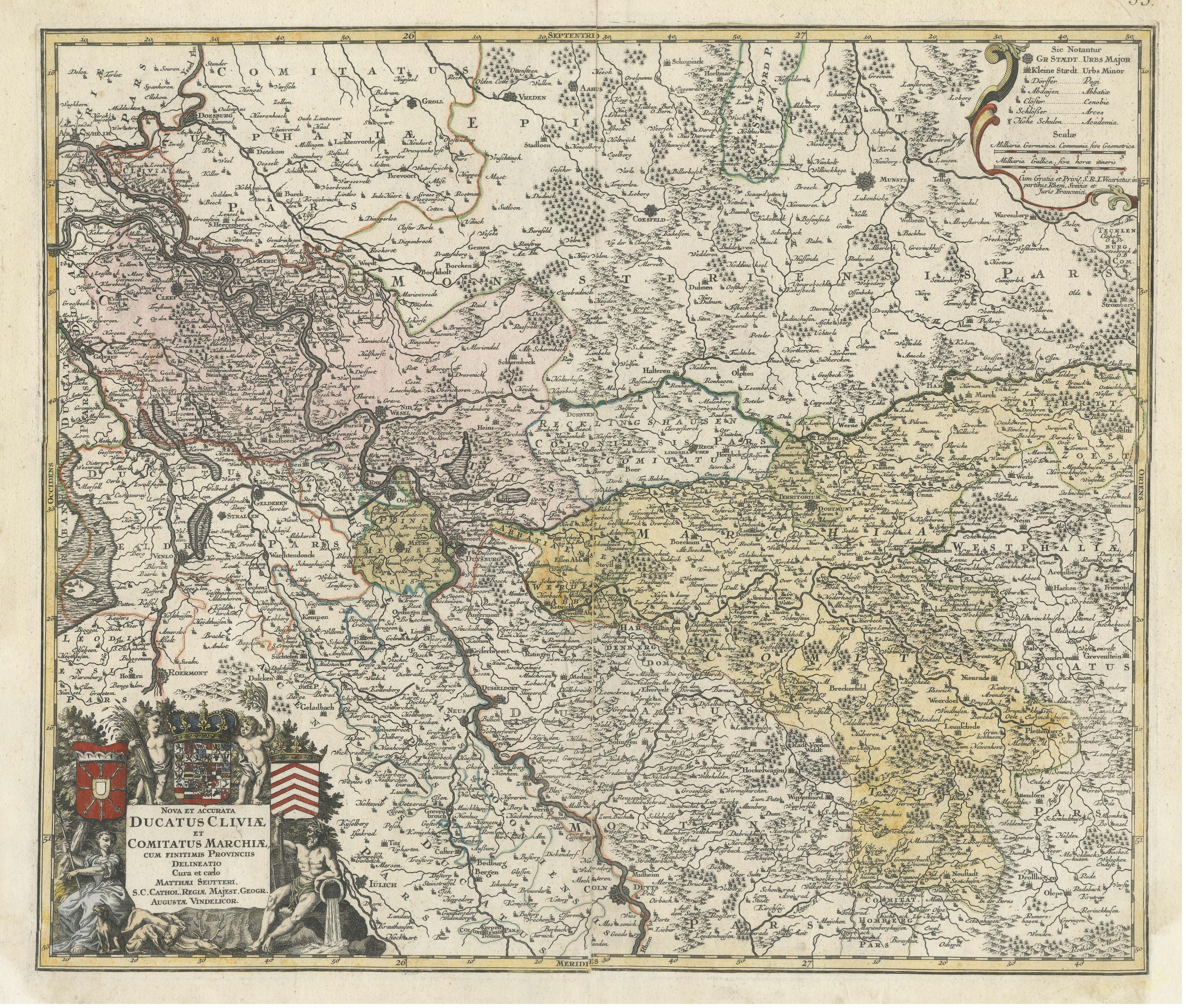
Antique Map of present-day North-Rhine Westphalia, Germany
€ 530
One of a kind: this is the sheet in the photographs. Ships from Langweer, the Netherlands.
Sheet size
55 × 64.8 cm (21.7 × 25.5 in)
Condition
Fair
Reference
BG-13442-17
Condition
Repaired: Professional restorations on both bottom corners. General age-related toning. Shows some wear and soiling. Original folding line with large split, but still attached. Professional restorations on both bottom corners. Few small defects in margins. Blank verso. Please study image careful
About this sheet
Antique map titled 'Nova et Accurata Ducatus Cliviae et Comitatus Marchiae (..)'. Detailed regional map of Germany showing the region bounded by the Maas River in the west and to part of Westphalia in the East. The map is centered on the Rhine region from Cologne to Arnheim, and showing Cleef, Nidwesel, Rheinbergen, Duisberg, Dusseldorf, Munster, etc. Nice decorative cartouche. Published by M. Seutter.
Matthäus Seutter (1678-1757) was a prominent German mapmaker in the mid-eighteenth century. Initially apprenticed to a brewer, he trained as an engraver under Johann Baptist Homann in Nuremburg before setting up shop in his native Augsburg. In 1727 he was granted the title Imperial Geographer. His most famous work is Atlas Novus Sive Tabulae Geographicae, published in two volumes ca. 1730, although the majority of his maps are based on earlier work by other cartographers like the Homanns, Delisles, and de Fer.