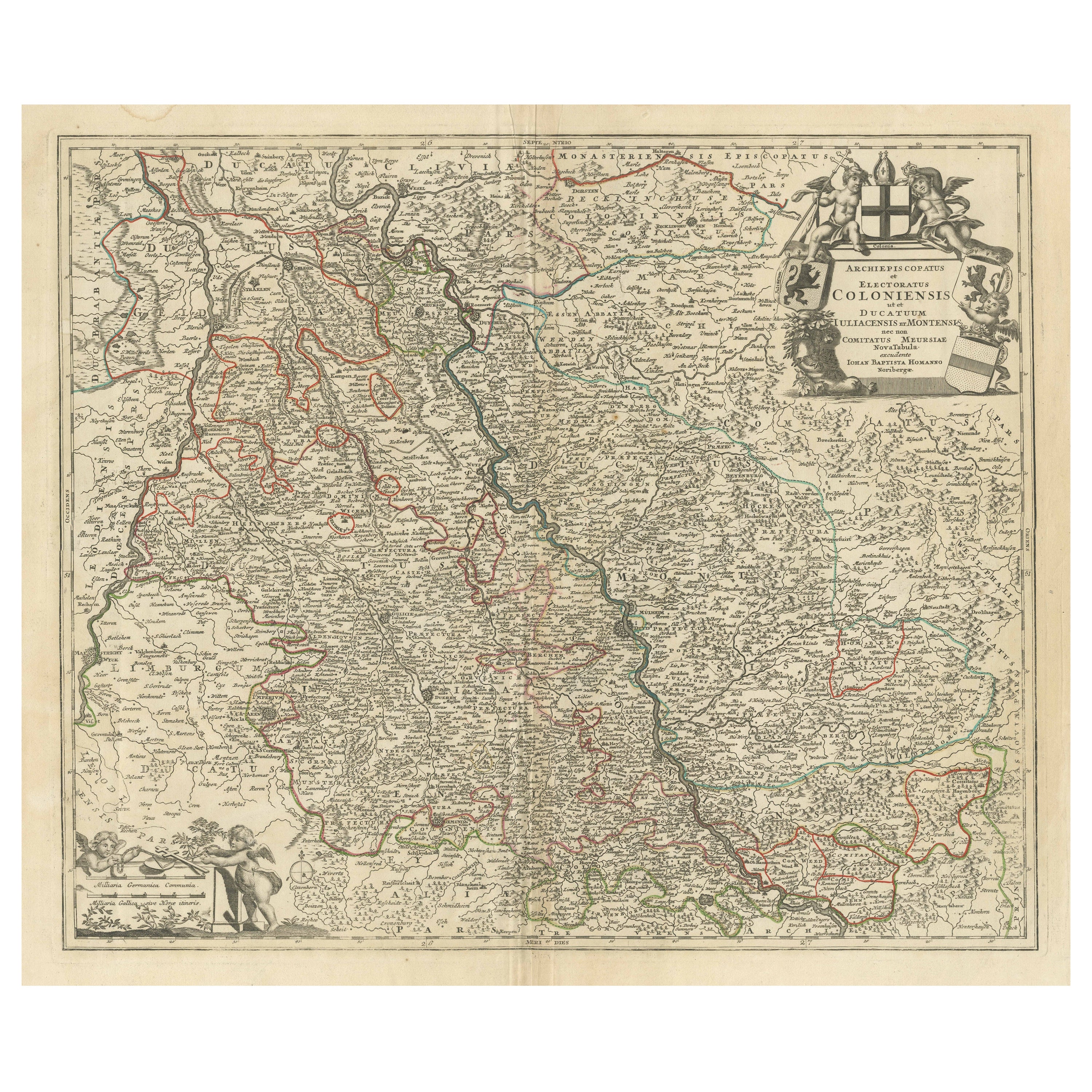

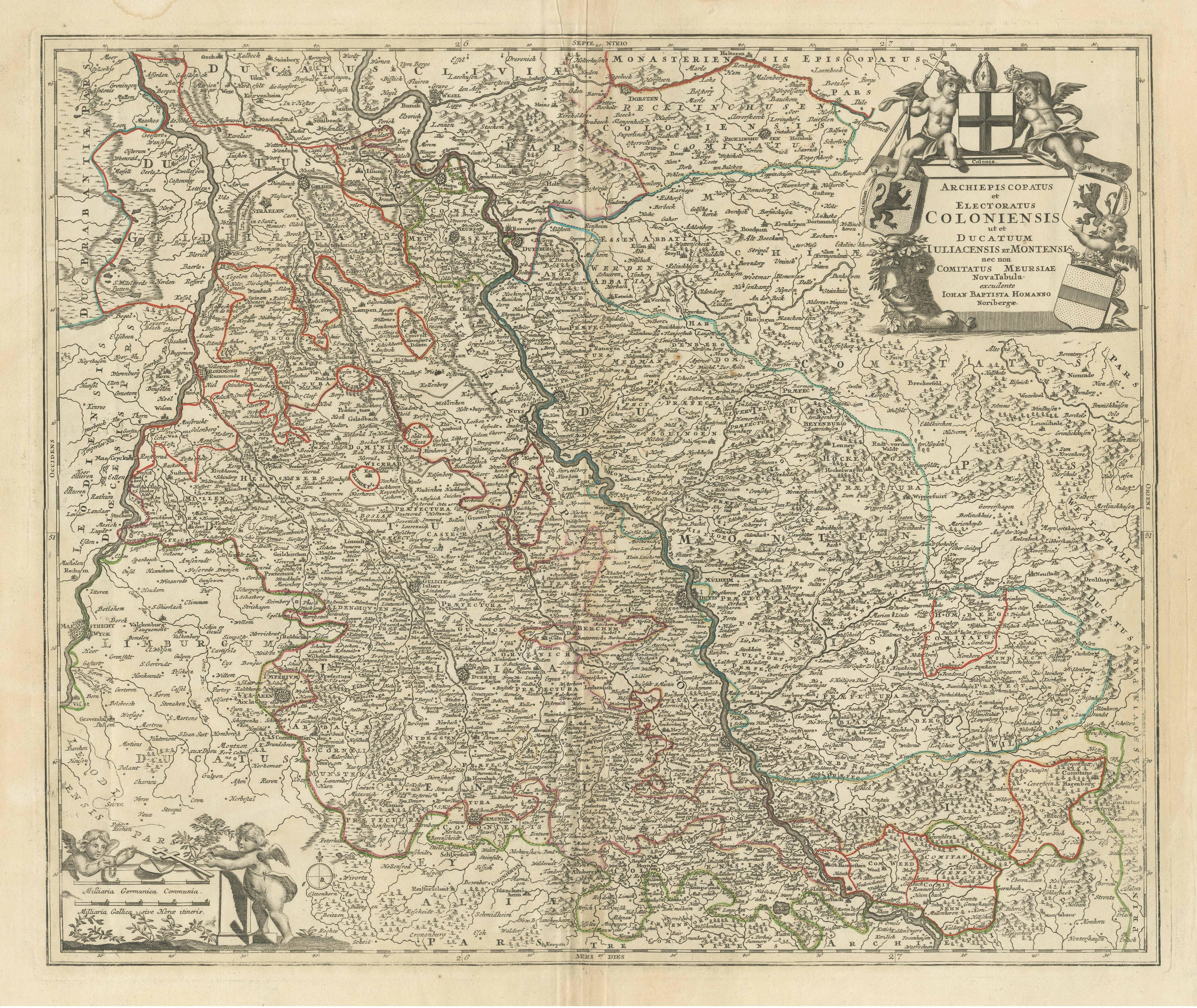
Antique Map of the Rhine centered on Cologne, Germany, with outline coloring
€ 480
One of a kind: this is the sheet in the photographs. Ships from Langweer, the Netherlands.
Sheet size
54.8 × 66.4 cm (21.6 × 26.1 in)
Condition
Good
Reference
BG-13442-13
Condition
Repaired: Small repair bottom left near Arenberg. General age-related toning. Original folding line. Small repair bottom left near Arenberg. Some wear and soiling, also a few stains, most in margins. Blank verso. Please study image carefully.
About this sheet
Antique map titled 'Archiepsiscopatus et Electoratus Coloniensis (..)'. Original antique map of the Rhine river, centered on Cologne, Germany. The Rhine River cuts across this map from south of Bonn, centered on Cologne and north to Wesel. The map extends into The Netherlands and Belgium. Loaded with topographic information, the map names hundreds of cities, towns, rivers and lakes. Putti display coats of arms around the decorative title cartouche. Published by J.B. Homann.
Johann Baptist Homann was born 1664 in Oberkammlach. He founded his business 1702 in Nuremberg, Germany. After a long period of Dutch domination in map publishing, the Homann publishing house became the most important map and atlas producer in Germany. He became a member of the Academy of Science in Berlin just after he published his first atlas in 1707. After his death 1724 in Nuremberg, the company was continued by his son Johann Christoph. The publishing firm was bequeathed to his heirs after his death in 1730 and was traded under the name Homann Heirs until the next century.