Maps & PrintsBartele Gallery · Langweer
Home / Antique Maps / Europe / Western Europe / Germany

Germany

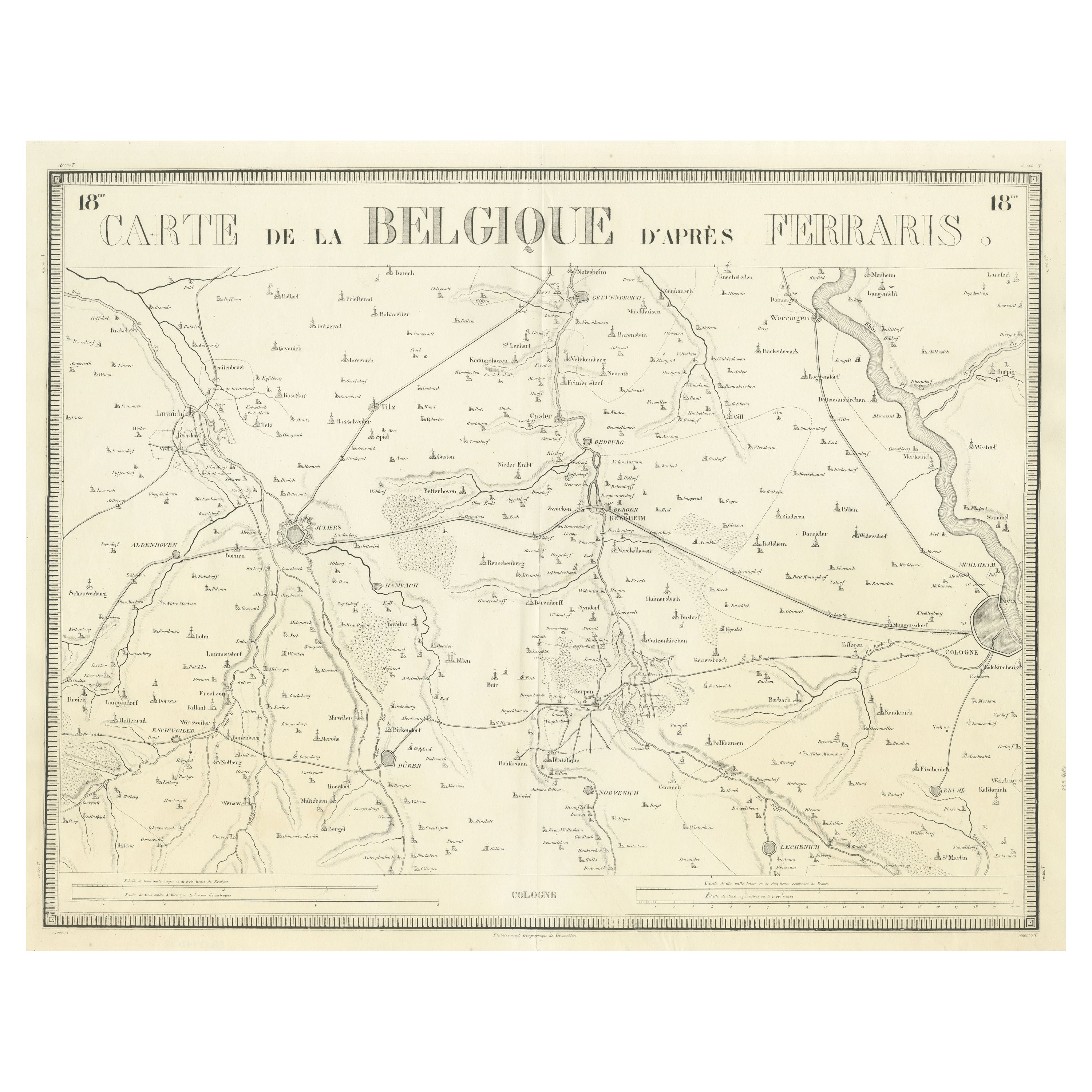

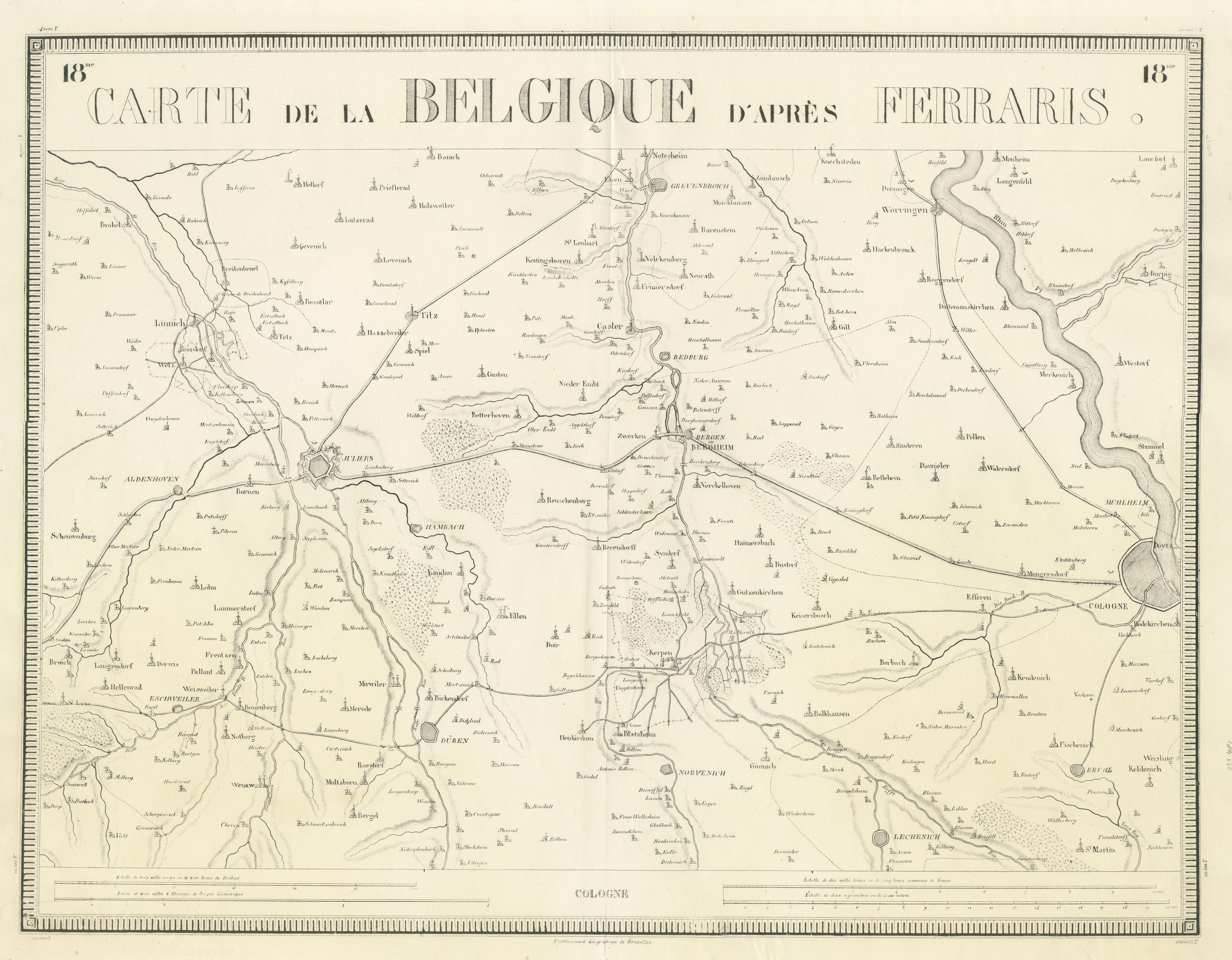
Antique Map of the Region near Cologne, Germany

€ 440

One of a kind: this is the sheet in the photographs. Ships from Langweer, the Netherlands.

Sheet size
49.8 × 65 cm (19.6 × 25.6 in)
Condition
Fair
Reference
BG-13442-18

Condition

Repaired: Few closed tears, also affecting image. Minor wear. Original folding line with a few weak spots. Few closed tears, also affecting image. Blank verso. Please study image carefully.


About this sheet

Antique map titled 'Carte de la Belgique d'après Ferraris'. Original antique map of the region near Cologne, Germany. Cologne is the largest city of the German western state of North Rhine-Westphalia. This map originates from a series of maps made after Ferraris. Published by Etablissement Geographique de Bruxelles in Brussels 1831.

More from Germany

Ask about this sheet

Antique Map of the Region near Cologne, Germany
Ref. BG-13442-18 · € 440
We reply by email, usually within one working day.





