

Maps & PrintsBartele Gallery · Langweer
Home / Antique Maps / Europe / Western Europe / France

France

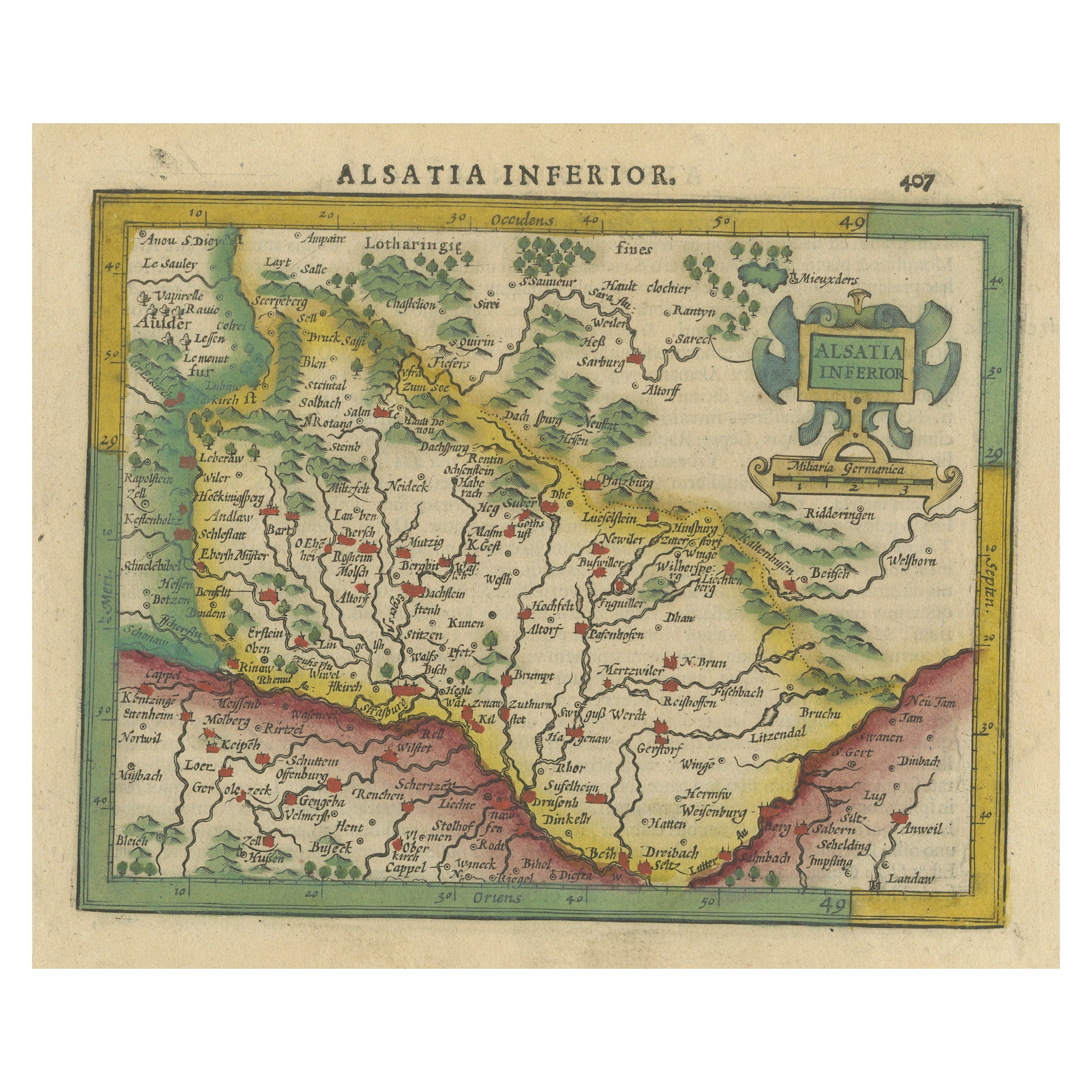
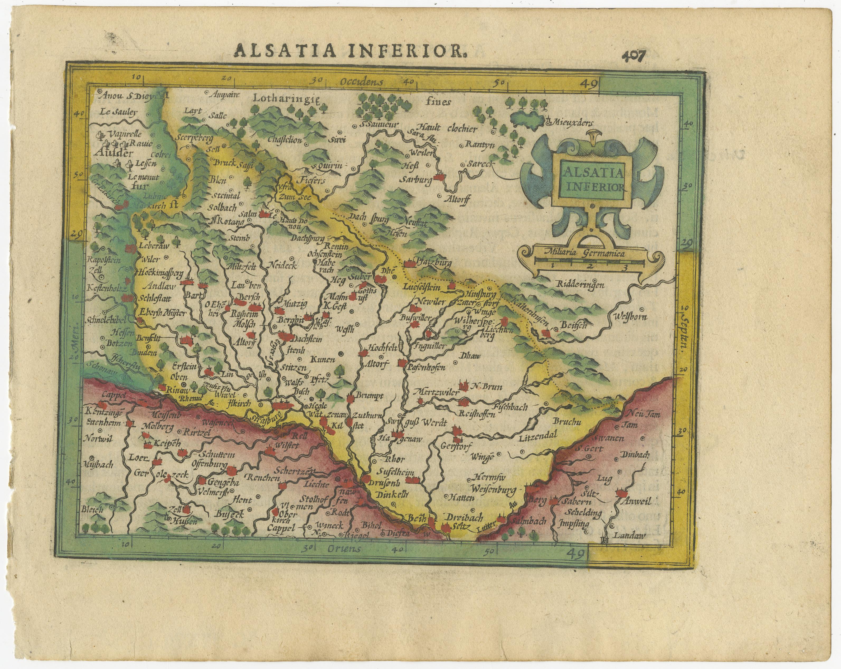
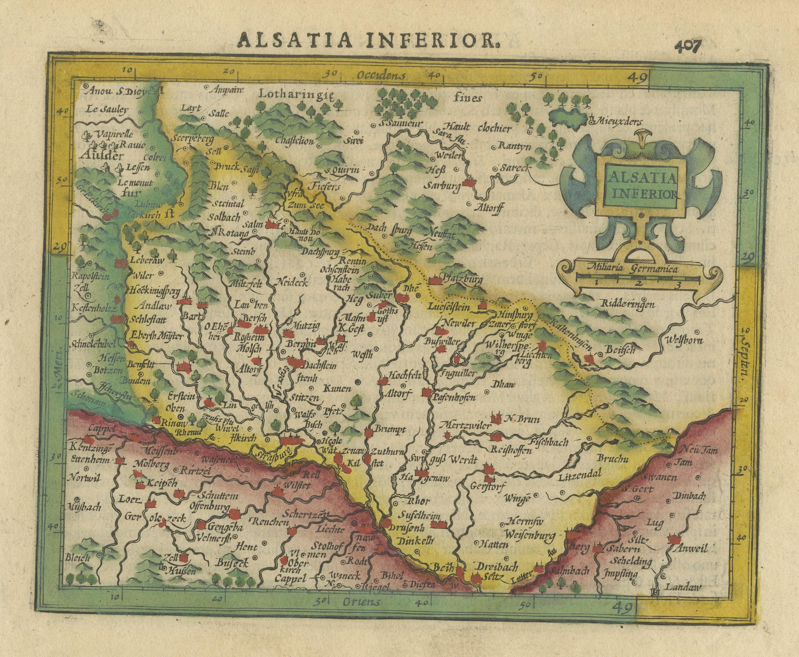
Small Original Antique Map of the Lower Alsace region, Germany

€ 340

One of a kind: this is the sheet in the photographs. Ships from Langweer, the Netherlands.

Sheet size
17.4 × 22 cm (6.9 × 8.7 in)
Condition
Fair
Reference
BG-13534-1

Condition

General age-related toning. Some wear and soiling. Few very tiny holes in margin. Crease top right. Latin text on verso. Please study image carefully.


About this sheet

Antique map titled 'Alsatia Inferior'. Small original antique map of the Lower Alsace region, Germany. This map originates from 'Atlas minor Gerardi Mercatoris a I. Hondio plurimis aeneis tabulis auctus atque illustratus' by G. Mercator. Published 1610.

Gerard Mercator (1512 - 1594) originally a student of philosophy was one of the most renowned cosmographers and geographers of the 16th century, as well as an accomplished scientific instrument maker. He is most famous for introducing Mercators Projection, a system which allowed navigators to plot the same constant compass bearing on a flat map.

More from France

Ask about this sheet

Small Original Antique Map of the Lower Alsace region, Germany
Ref. BG-13534-1 · € 340
We reply by email, usually within one working day.



