

Maps & PrintsBartele Gallery · Langweer
Home / Antique Maps / Europe / Western Europe / Germany

Germany

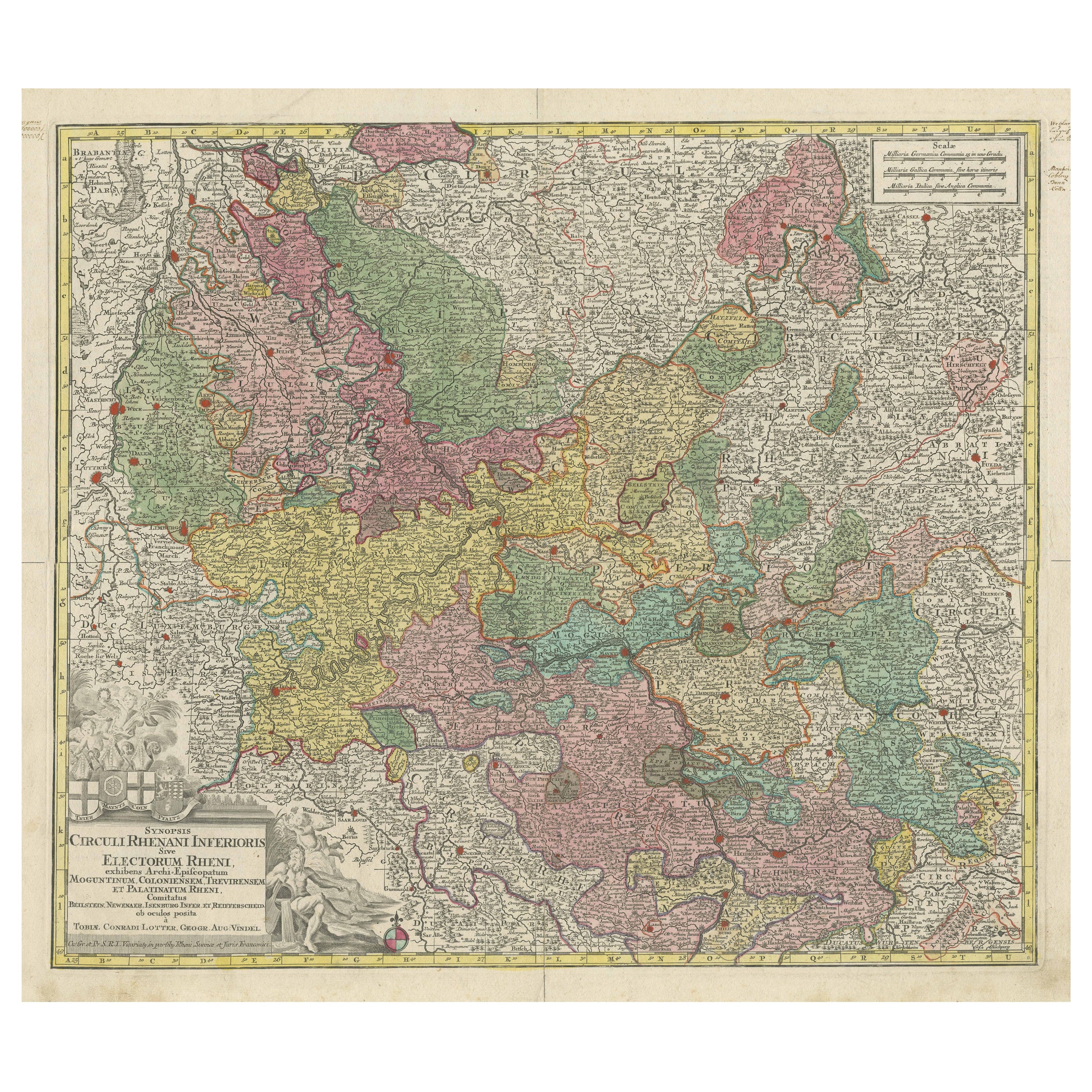

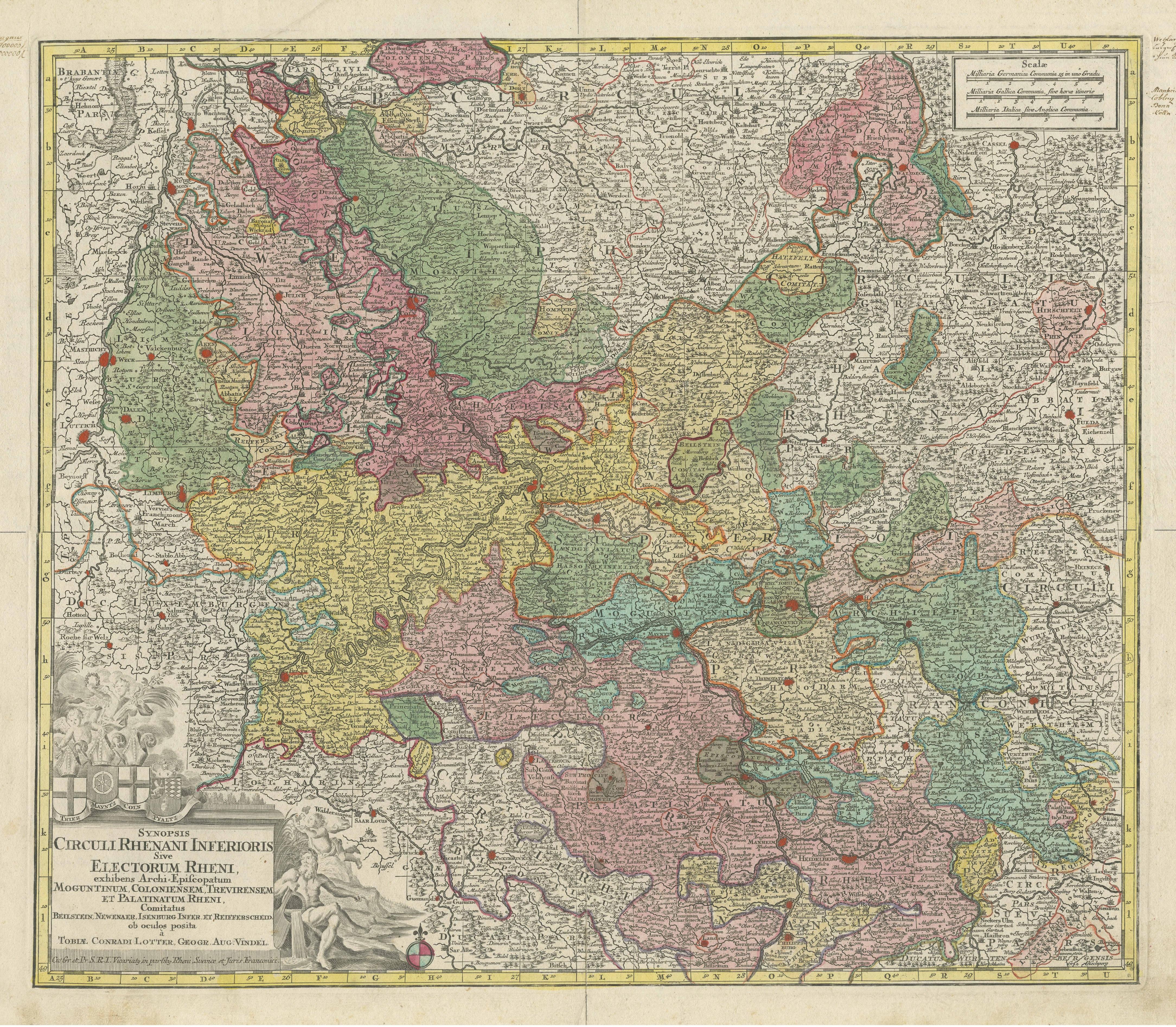
Antique Map of the region of Trier, Mainz and Cologne, Germany

€ 480

One of a kind: this is the sheet in the photographs. Ships from Langweer, the Netherlands.

Sheet size
54.8 × 68 cm (21.6 × 26.8 in)
Condition
Good
Reference
BG-13442-16

Condition

Repaired: Folding line with reinforcement. General age-related toning. Minor wear and soiling. Original folding line, with reinforcement. Some manuscript writing in upper margins. Blank verso, almost completely covered in manuscript writing including many names and dates. Please study image.Sell


About this sheet

Antique map titled 'Synopsis Circuli Rhenani Inferioris sive Electorum Rheni (..)'. Original antique map of the region of Trier, Mainz and Cologne, Germany. Published by T.C. Lotter, circa 1765. Tobias Conrad Lotter (1717 - 1777) was a German engraver and map publisher.

More from Germany

Ask about this sheet

Antique Map of the region of Trier, Mainz and Cologne, Germany
Ref. BG-13442-16 · € 480
We reply by email, usually within one working day.





