

Maps & PrintsBartele Gallery · Langweer
Home / Antique Maps / Europe / Western Europe / Germany

Germany

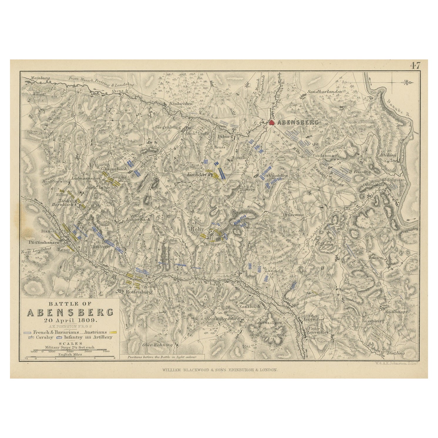
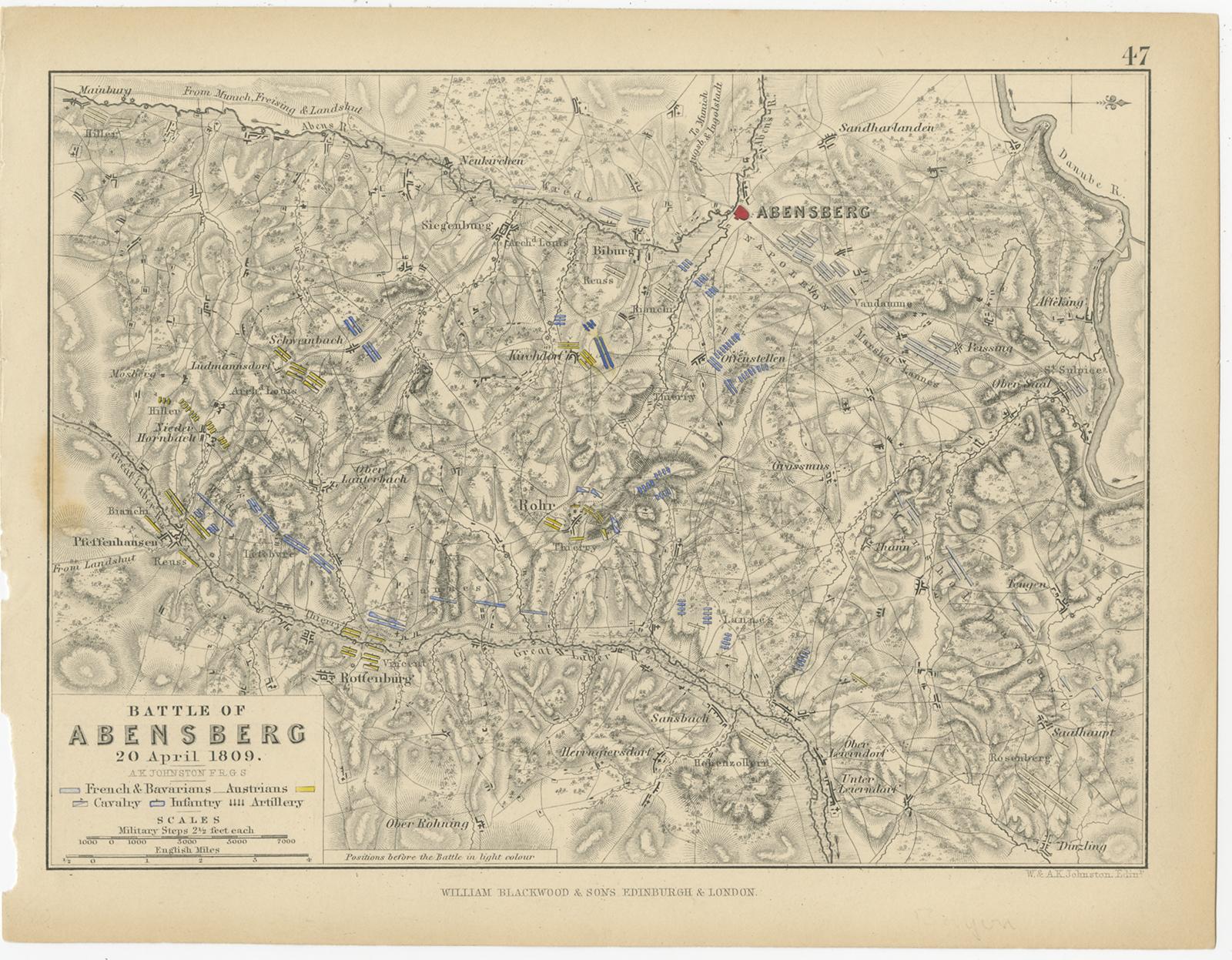
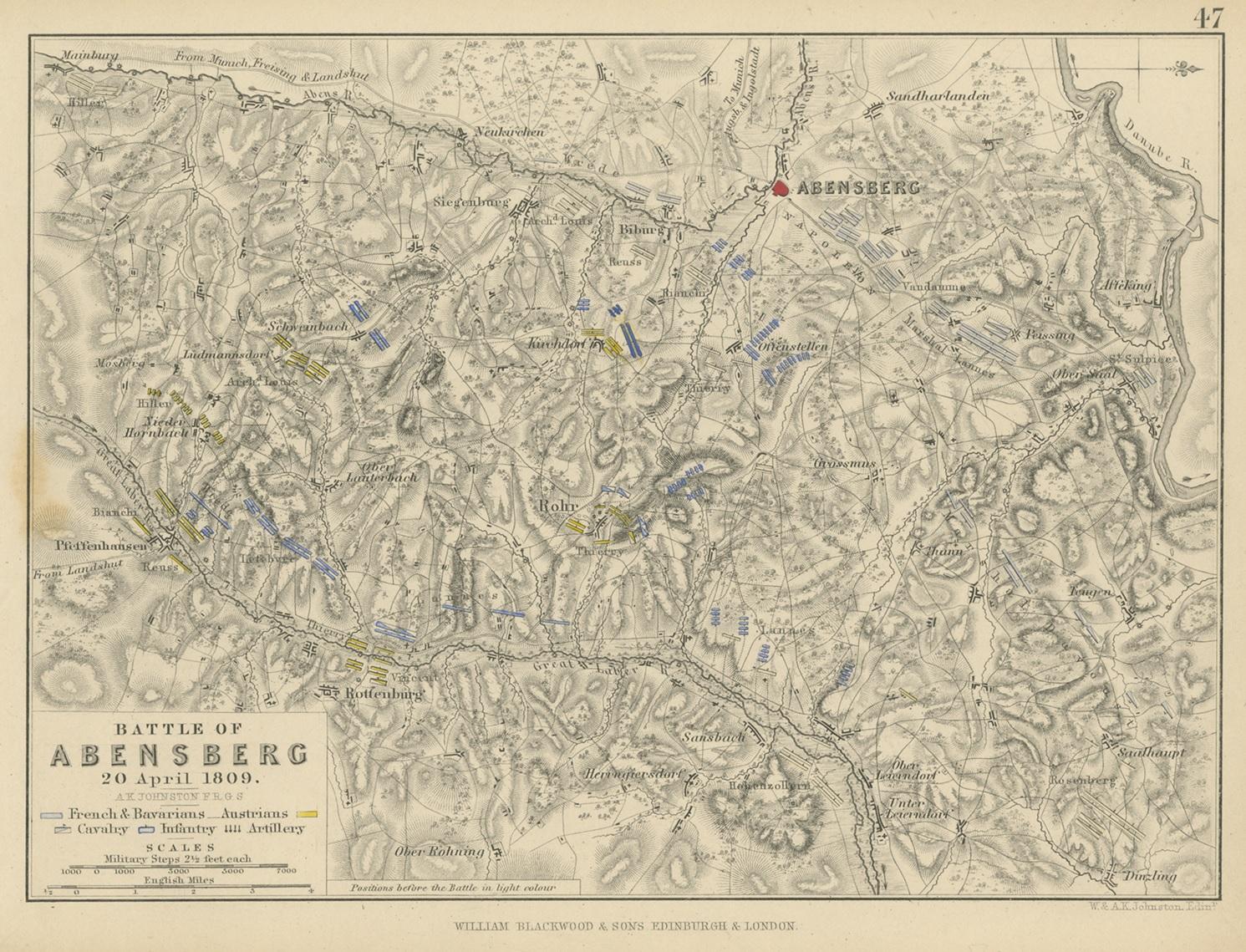
Antique Plan of the Battle of Abensberg in Germany

€ 140

One of a kind: this is the sheet in the photographs. Ships from Langweer, the Netherlands.

Sheet size
18 × 22.8 cm (7.1 × 9.0 in)
Condition
Fair
Reference
BG-12209-90

Condition

General age-related toning. Defects in left margin. Shows some wear and foxing, blank verso. Please study image carefully.


About this sheet

Antique battle map titled 'Battle of Abensberg 20 April 1809'. Plan of the Battle of Abensberg, fought on 20 April 1809 between a Franco-German force under the command of Emperor Napoleon I of France and a reinforced Austrian corps led by Feldmarschall-Leutnant Archduke Louis of Austria. This print originates from 'Atlas to Alison's history of Europe: constructed and arranged under the direction of Sir Archibald Alison (..)' by W. & A.K. Johnston. Published 1852.

More from Germany

Ask about this sheet

Antique Plan of the Battle of Abensberg in Germany
Ref. BG-12209-90 · € 140
We reply by email, usually within one working day.





