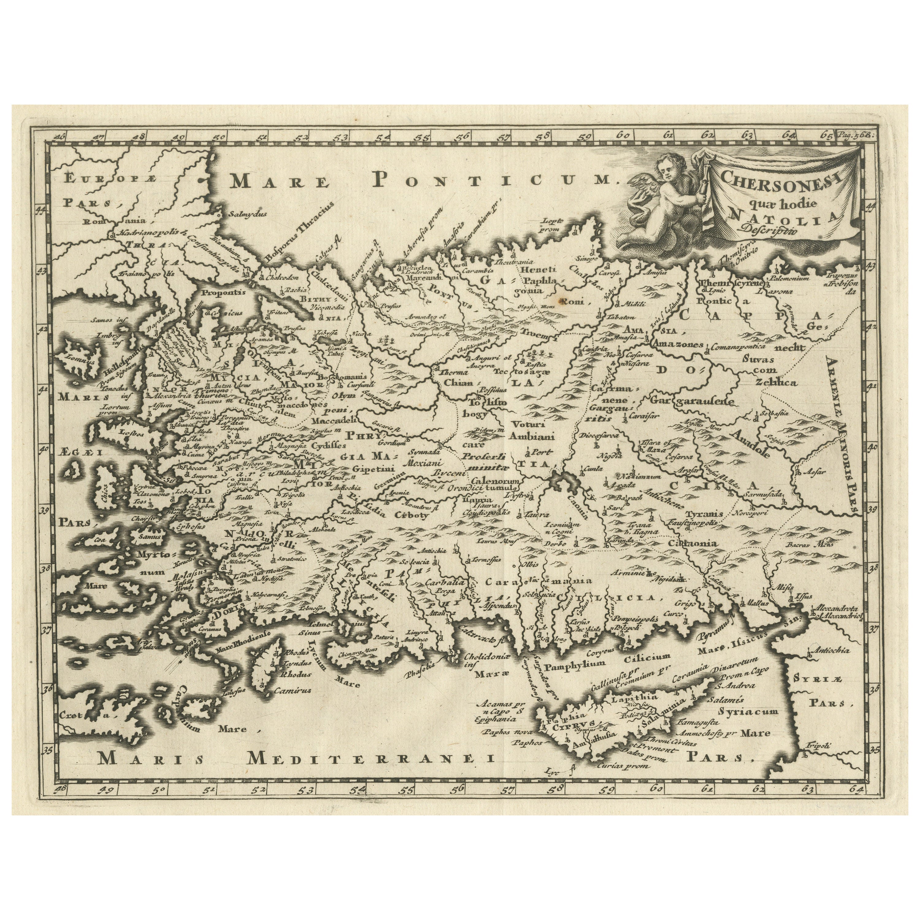
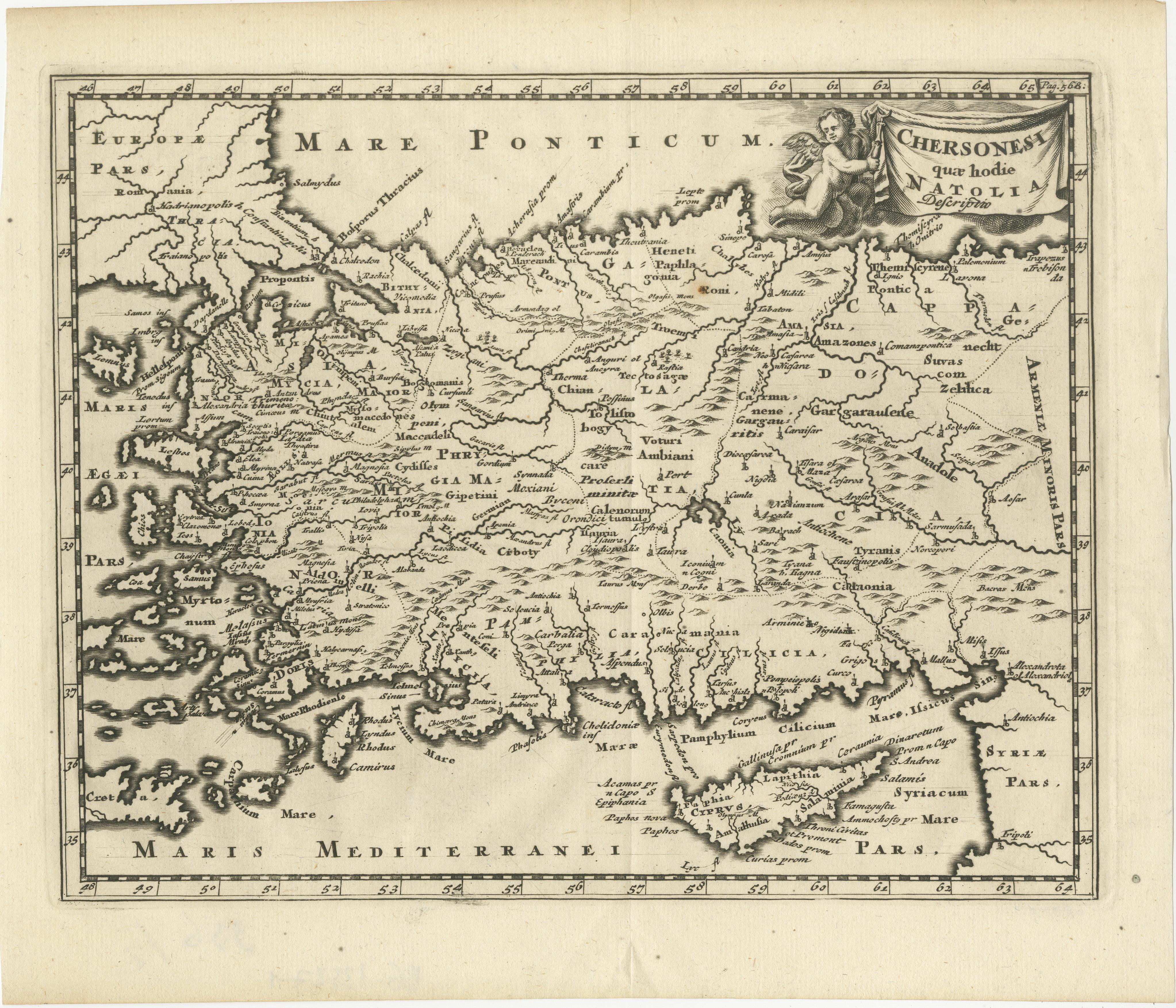
Antique Map of Asia Minor with part of the Greek Archipelago and Cyprus, 1729
€ 340
One of a kind: this is the sheet in the photographs. Ships from Langweer, the Netherlands.
Date
1729
Sheet size
24.6 × 29 cm (9.7 × 11.4 in)
Condition
Good
Reference
BG-13527-1
Condition
General age-related toning. Original folding line. Minor wear and soiling. Small brown spot near 'Roni'. Blank verso. Please study image carefully.
About this sheet
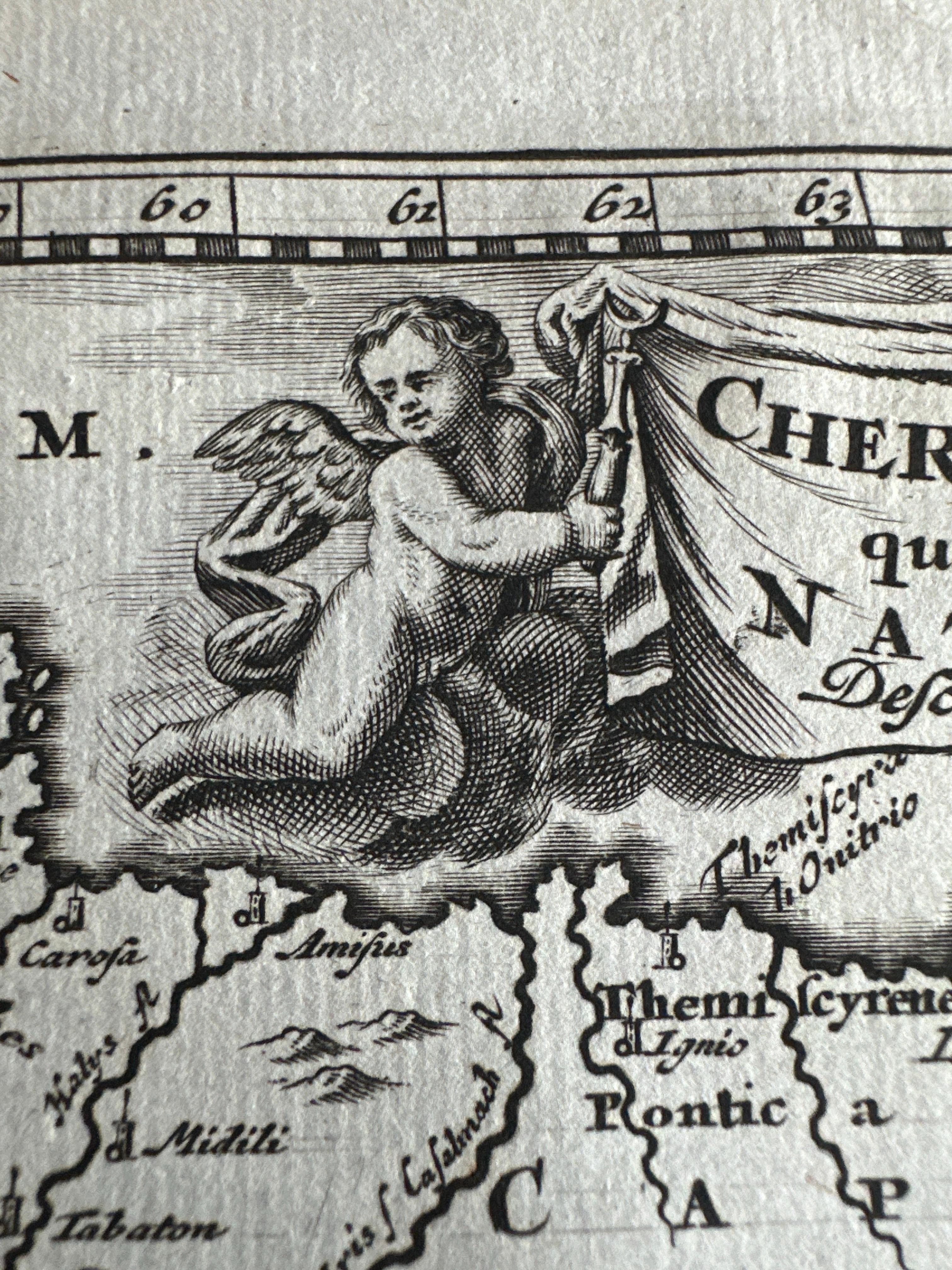
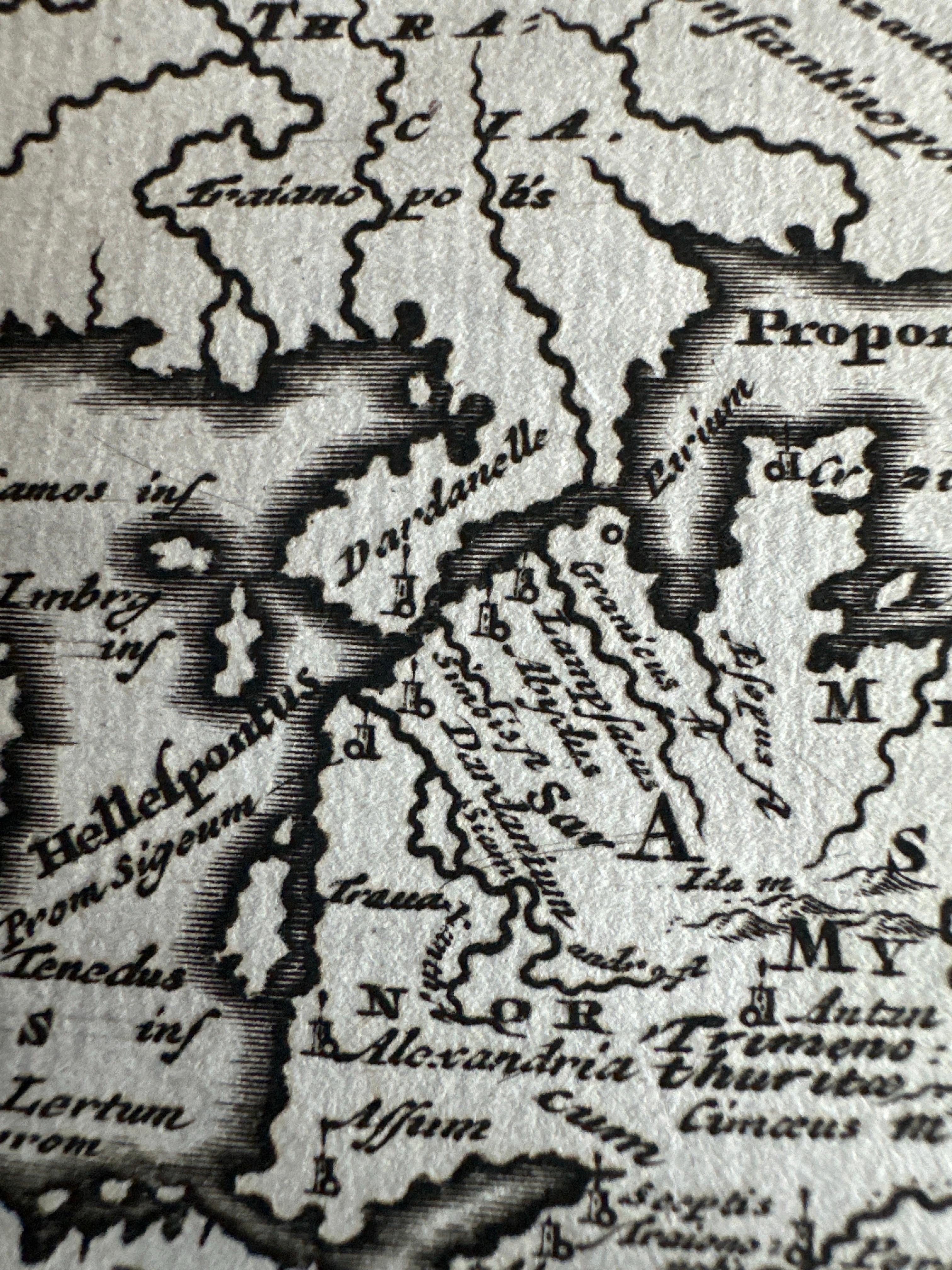
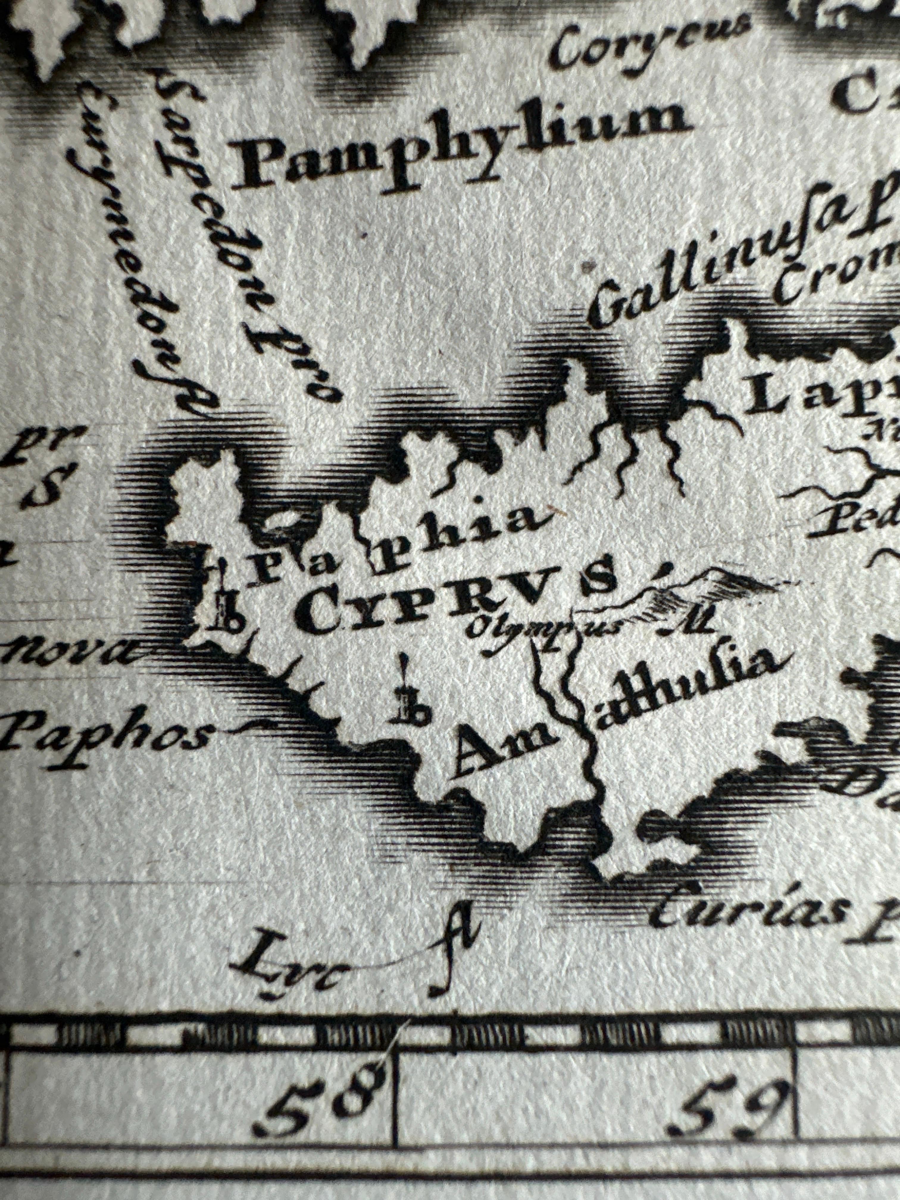
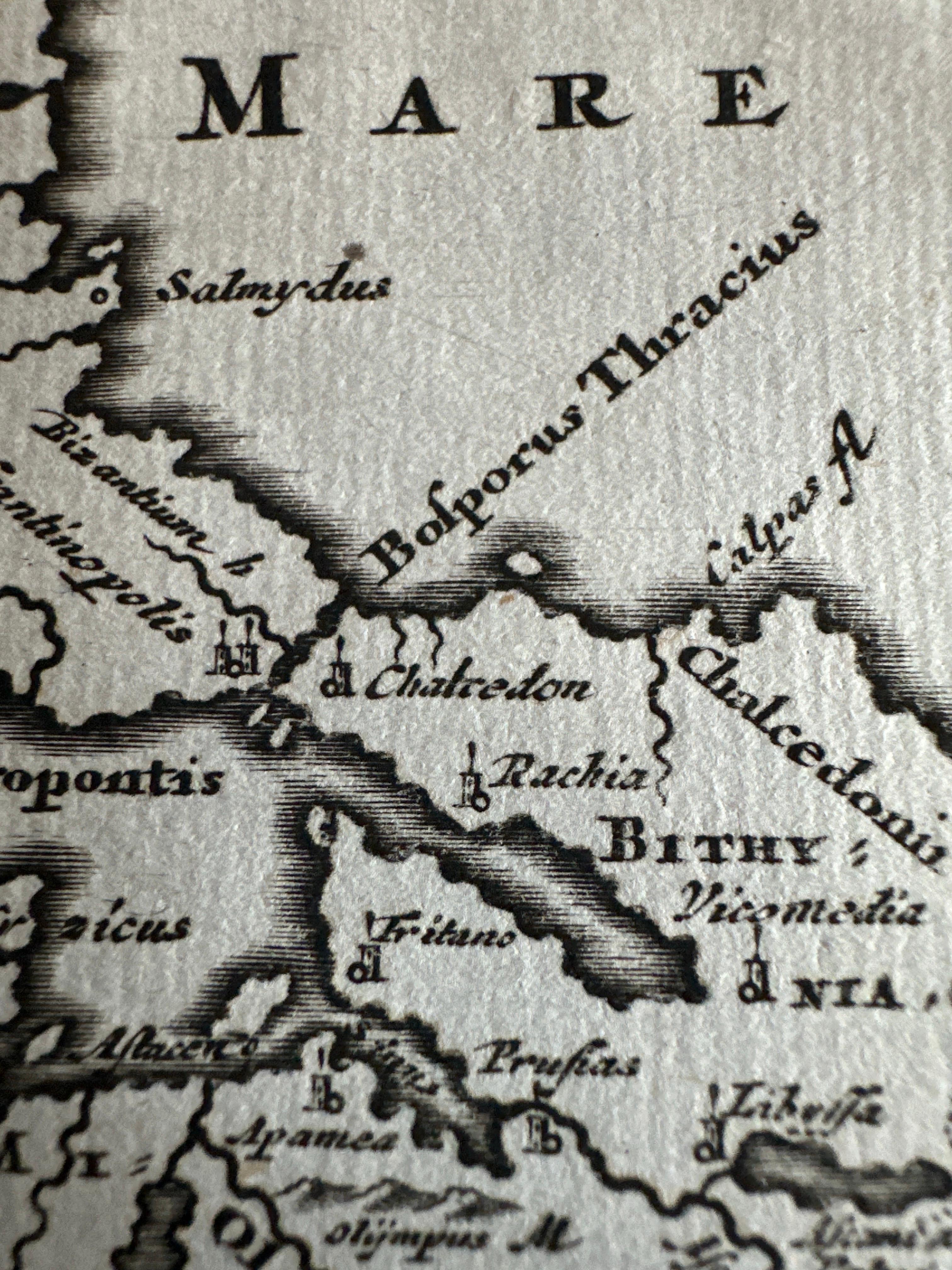
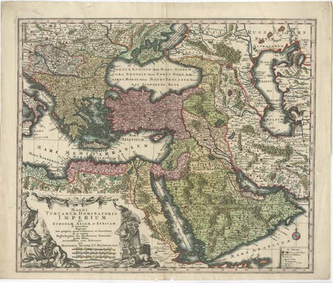
Antique map titled 'Chersonesi quae hodie Natolia Descriptio'. Decorative, smaller map of Asia Minor including part of the Greek Archipelago and Cyprus. The drape-style title cartouche is held aloft by a cherub in a cloud background.
This print originates from 'Philippi Cluveri Introductionis in universam geographiam, tam veterem quam novam, libri VI' by Philipp Clüver, Johannes Buno, Johann Friedrich Heckel, Antoine Augustin Bruzen de La Martinière, Johannes Reiske. Published 1729.
Philipp Clüver (also Klüwer, Cluwer, or Cluvier, Latinized as Philippus Cluverius and Philippi Cluverii) (1580 – 31 December 1622) was an Early Modern German geographer and historian.