Maps & PrintsBartele Gallery · Langweer
Home / Antique Maps / Europe / Western Europe / Germany

Germany

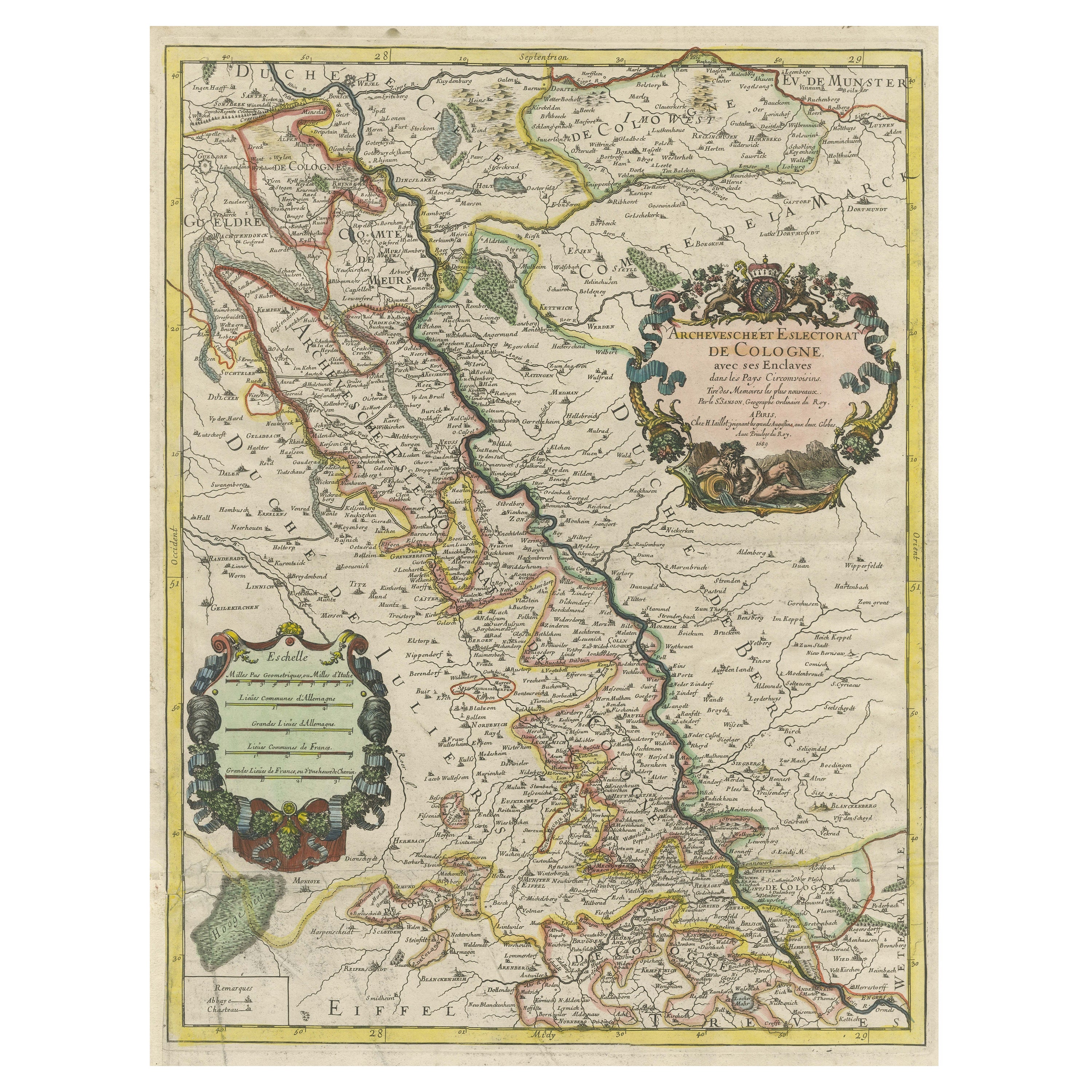

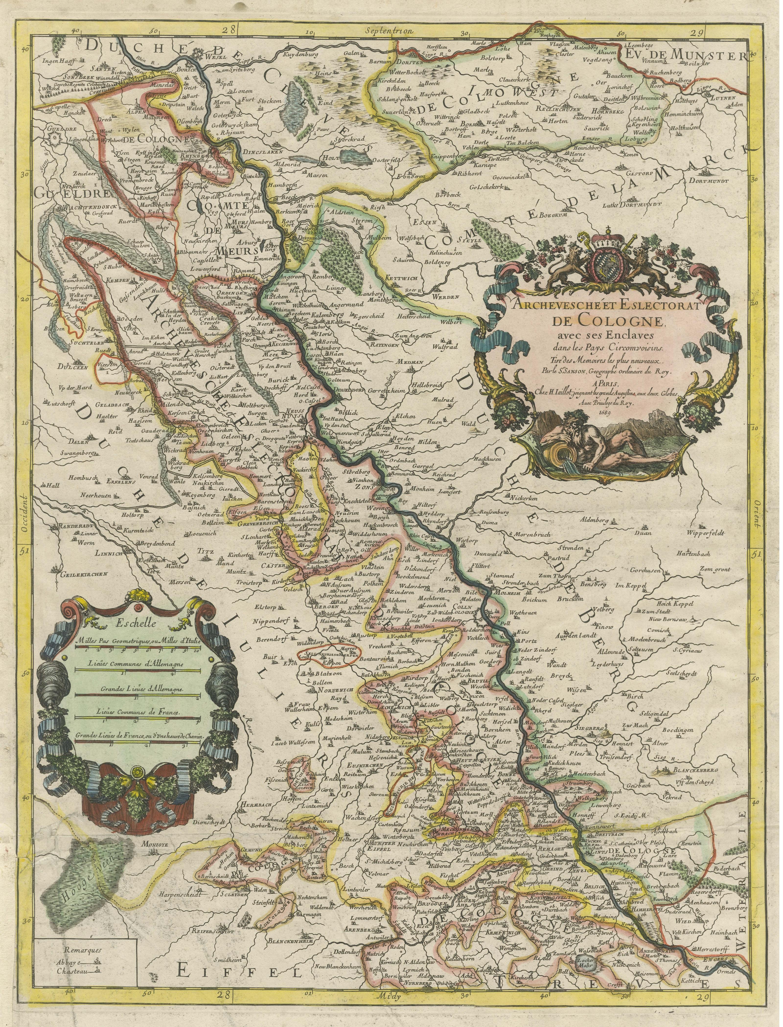
Antique Map of the Archdiocese of Cologne, Germany

€ 430

One of a kind: this is the sheet in the photographs. Ships from Langweer, the Netherlands.

Sheet size
62.5 × 46.3 cm (24.6 × 18.2 in)
Condition
Fair
Reference
BG-13442-6

Condition

Repaired: Small repairs on margins, sl. affecting image. Repair on one of the folding lines and a larger repair bottom left. Shows wear and soiling. Small repairs on margins, sl. affecting image. Repair on one of the folding lines and a larger repair bottom left. Blank verso. Please study image


About this sheet

Antique map titled 'Archevesche et Eslectorat de Cologne avec ses Enclaves'. Original old map of the Archdiocese of Cologne with the course of the Rhine from Andernach to Wesel with the diocese's left bank of the Rhine and the Recklinghausen exclave. Published by H. Jaillot, 1689.

Hubert Jaillot, one of the most important French cartographers of the 17th century, was born 1632. He had a partnership with Nicolas Sanson's son and re-published and re-engraved many Sanson maps. The Atlases and map mainly have been printed by Pierre Mortier in Amsterdam but also in Paris.

More from Germany

Ask about this sheet

Antique Map of the Archdiocese of Cologne, Germany
Ref. BG-13442-6 · € 430
We reply by email, usually within one working day.





