Maps & PrintsBartele Gallery · Langweer
Home / Antique Maps / Europe / Western Europe / The Netherlands & Belgium

The Netherlands & Belgium

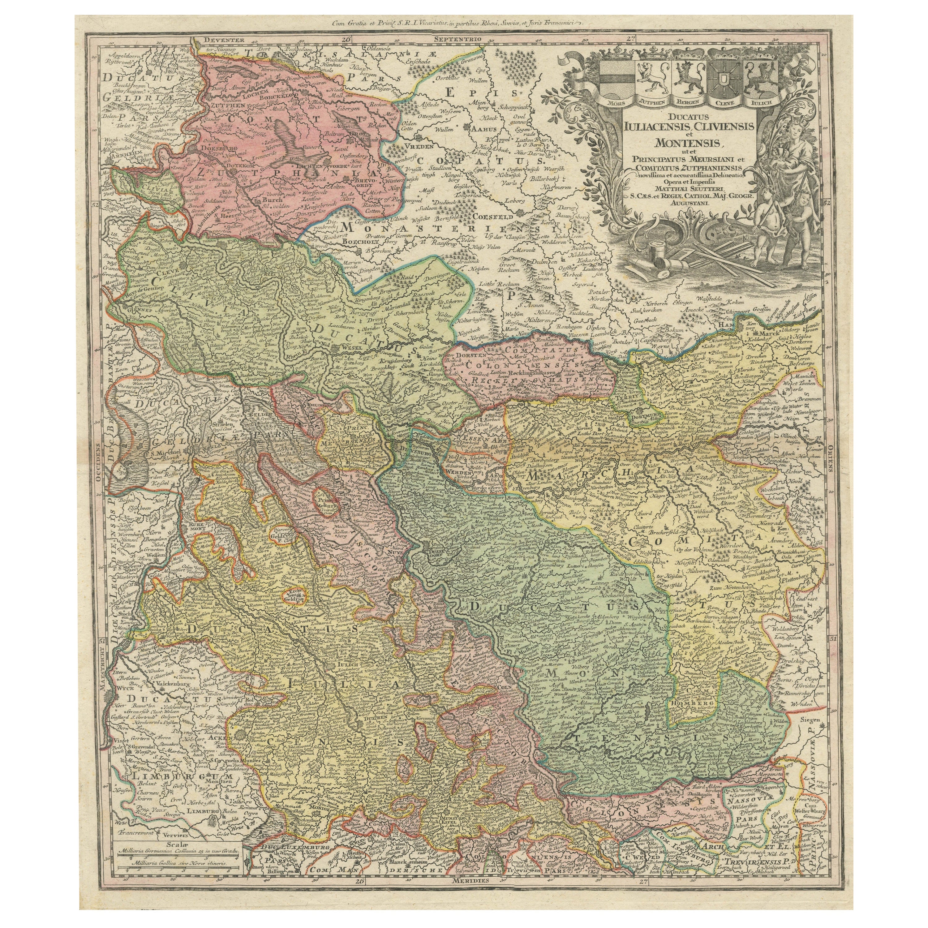

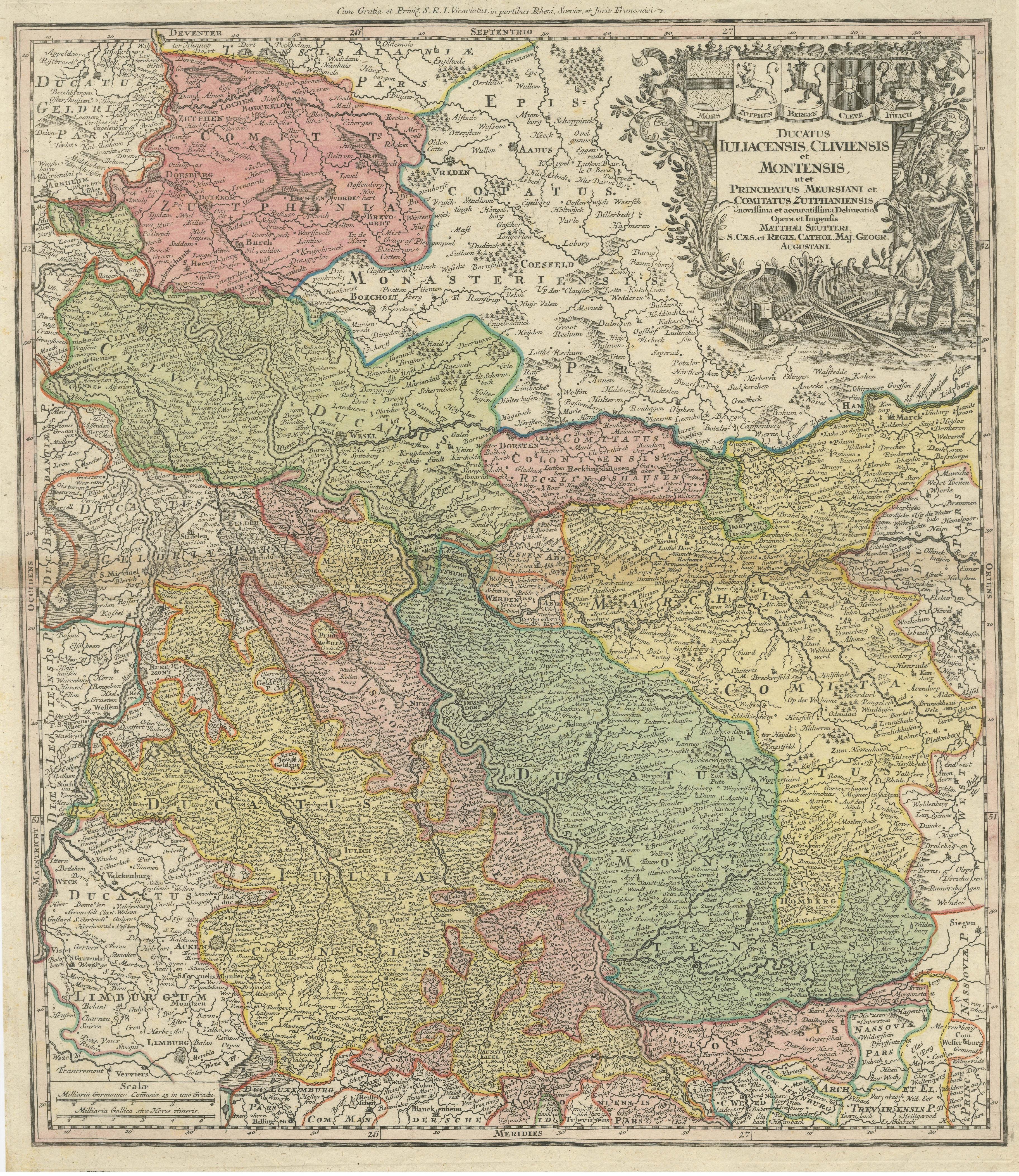
Antique Map of Western Germany with part of the Netherlands

€ 450

One of a kind: this is the sheet in the photographs. Ships from Langweer, the Netherlands.

Sheet size
62.3 × 52.8 cm (24.5 × 20.8 in)
Condition
Good
Reference
BG-13442-3

Condition

Repaired: Right margin extended. General age-related toning. Minor wear and soiling. Original folding line. Right margin extended. Blank verso. Please study image carefully.
About this sheet

Antique map titled 'Ducatus Iuliacensis Cliviensis et Montensis (..)'. Original old map of Western Germany with part of the Netherlands. Published by M. Seutter, circa 1750.

George Matthaus Seutter, a German publisher, cartographer and engraver from Augsburg, was born 1678 as the son of a goldsmith. After an apprenticeship at J. B. Homann in Nuremberg, he returned to his native city of Augsburg and worked in the publishing firm of Jeremiah Wolf. In 1707 he founded his own successful publishing company and produced maps, atlases and globes. Seutter died in 1757. The company went over to his son Albrecht Carl and his stepsons G. B. Probst and T. C. Lotter in after his death in 1757.

More from The Netherlands & Belgium

Ask about this sheet

Antique Map of Western Germany with part of the Netherlands
Ref. BG-13442-3 · € 450
We reply by email, usually within one working day.