Maps & PrintsBartele Gallery · Langweer
Home / Antique Maps / Europe / Western Europe / Germany

Germany

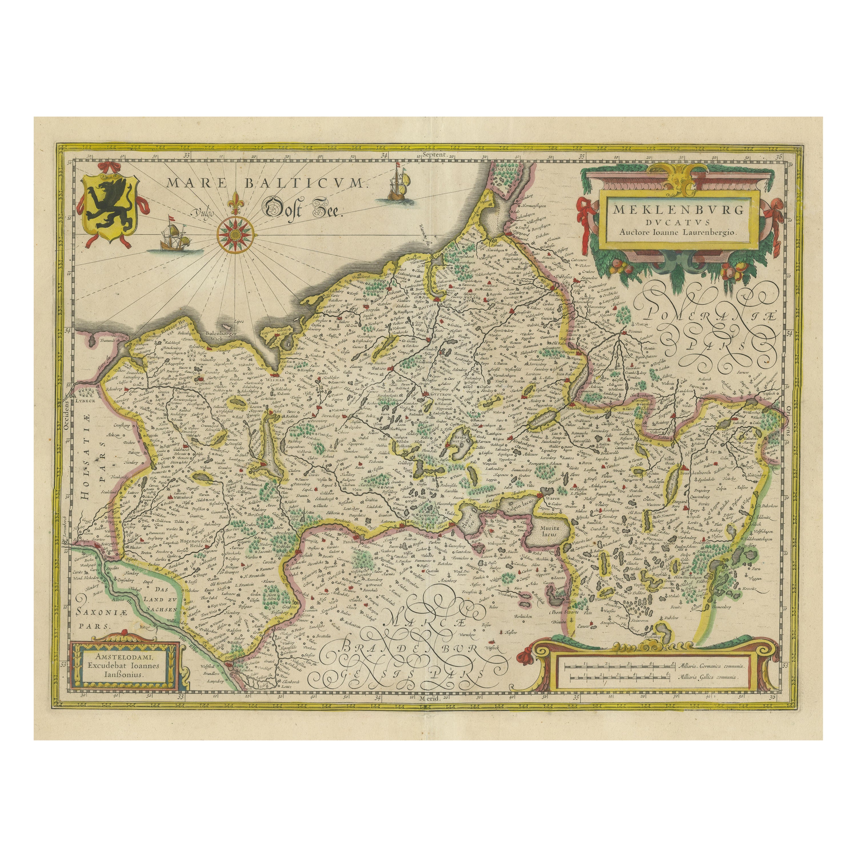

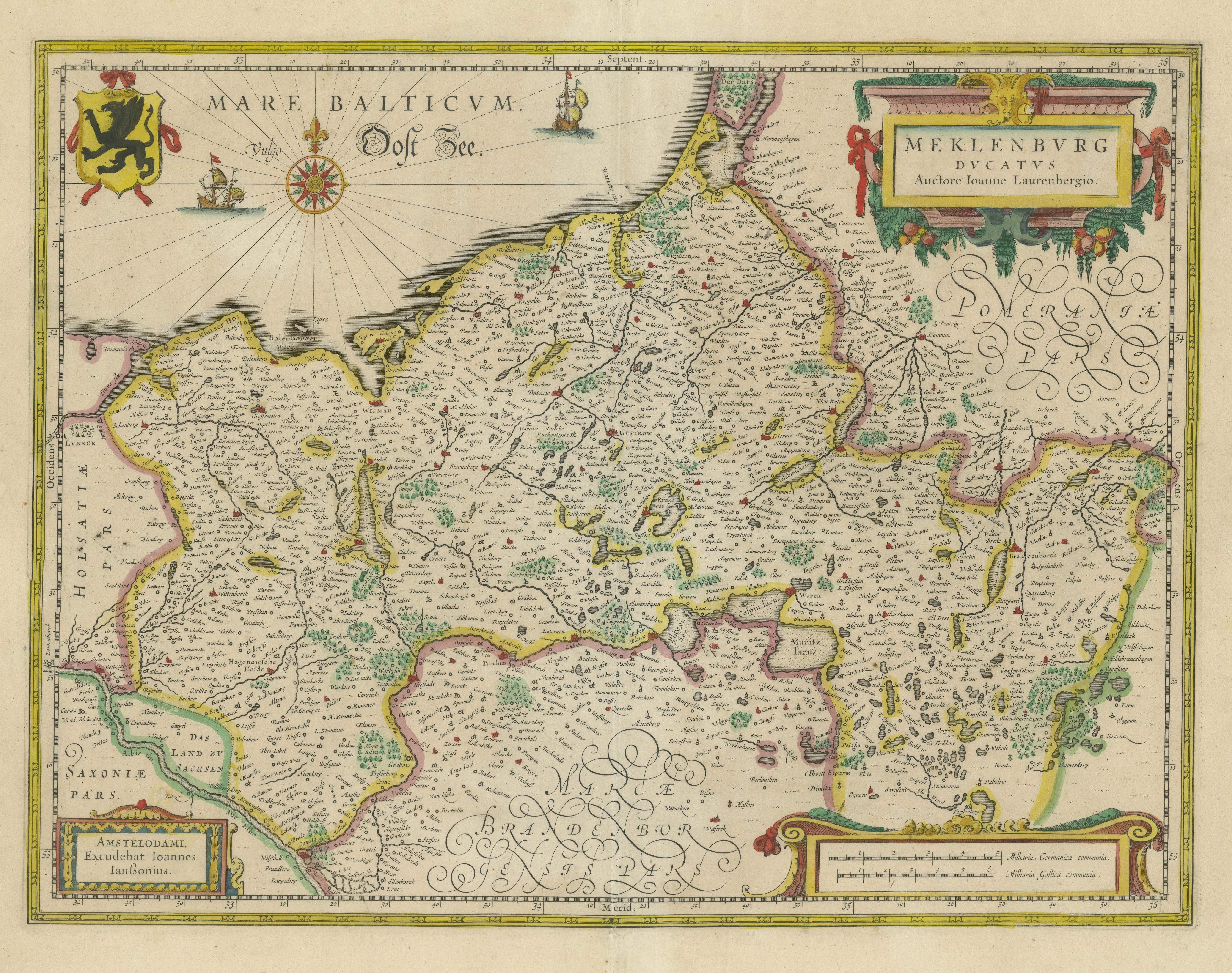
Antique Map of Northern Germany, showing the area of Mecklenburg-Vorpommern

€ 790

One of a kind: this is the sheet in the photographs. Ships from Langweer, the Netherlands.

Sheet size
47 × 56.5 cm (18.5 × 22.2 in)
Condition
Good
Reference
BG-13441-4

Condition

Repaired: Few very small repairs affecting image. General age-related toning. Original folding line, with splits. Shows some wear and small tears in margins. Blank verso. Please study image carefully.


About this sheet

Antique map titled 'Meklenburg Ducatus'. Attractive map of northern Germany, showing the area of Mecklenburg-Vorpommern. Published by J. Janssonius, circa 1630.

Jan Janssonius (also known as Johann or Jan Jansson or Janszoon) (1588-1664) was a renowned geographer and publisher of the seventeenth century, when the Dutch dominated map publishing in Europe. Born in Arnhem, Jan was first exposed to the trade via his father, who was also a bookseller and publisher. In 1612, Jan married the daughter of Jodocus Hondius, who was also a prominent mapmaker and seller. Jonssonius’ first maps date from 1616.

More from Germany

Ask about this sheet

Antique Map of Northern Germany, showing the area of Mecklenburg-Vorpommern
Ref. BG-13441-4 · € 790
We reply by email, usually within one working day.