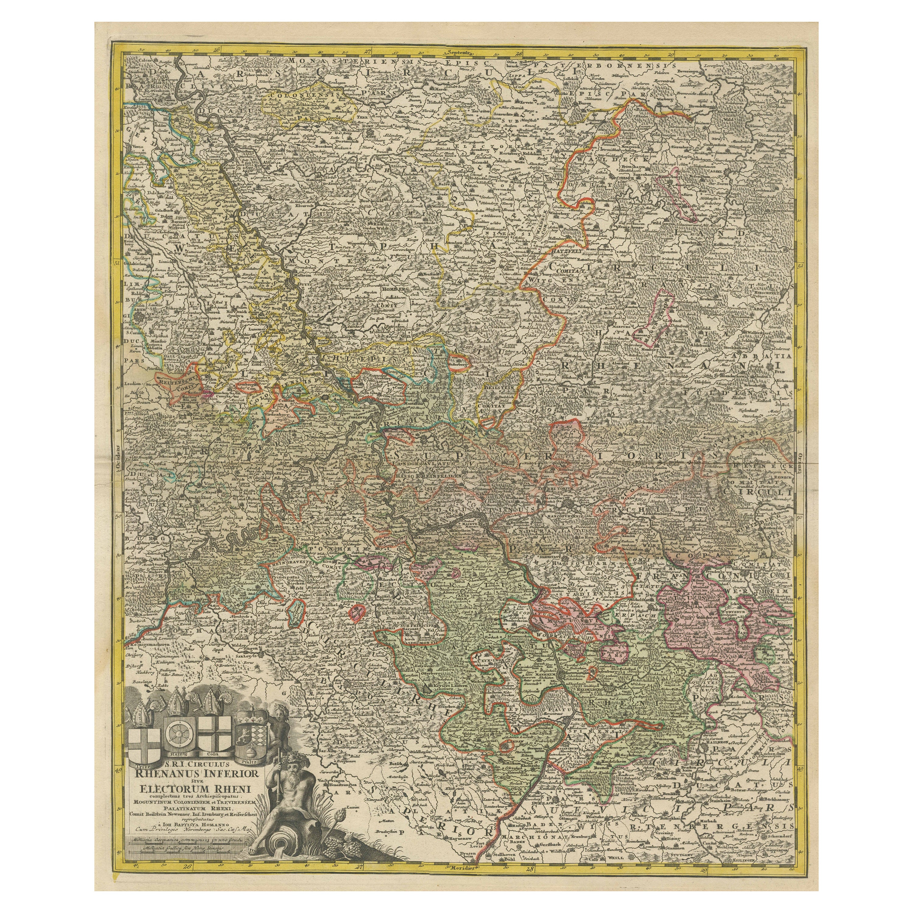

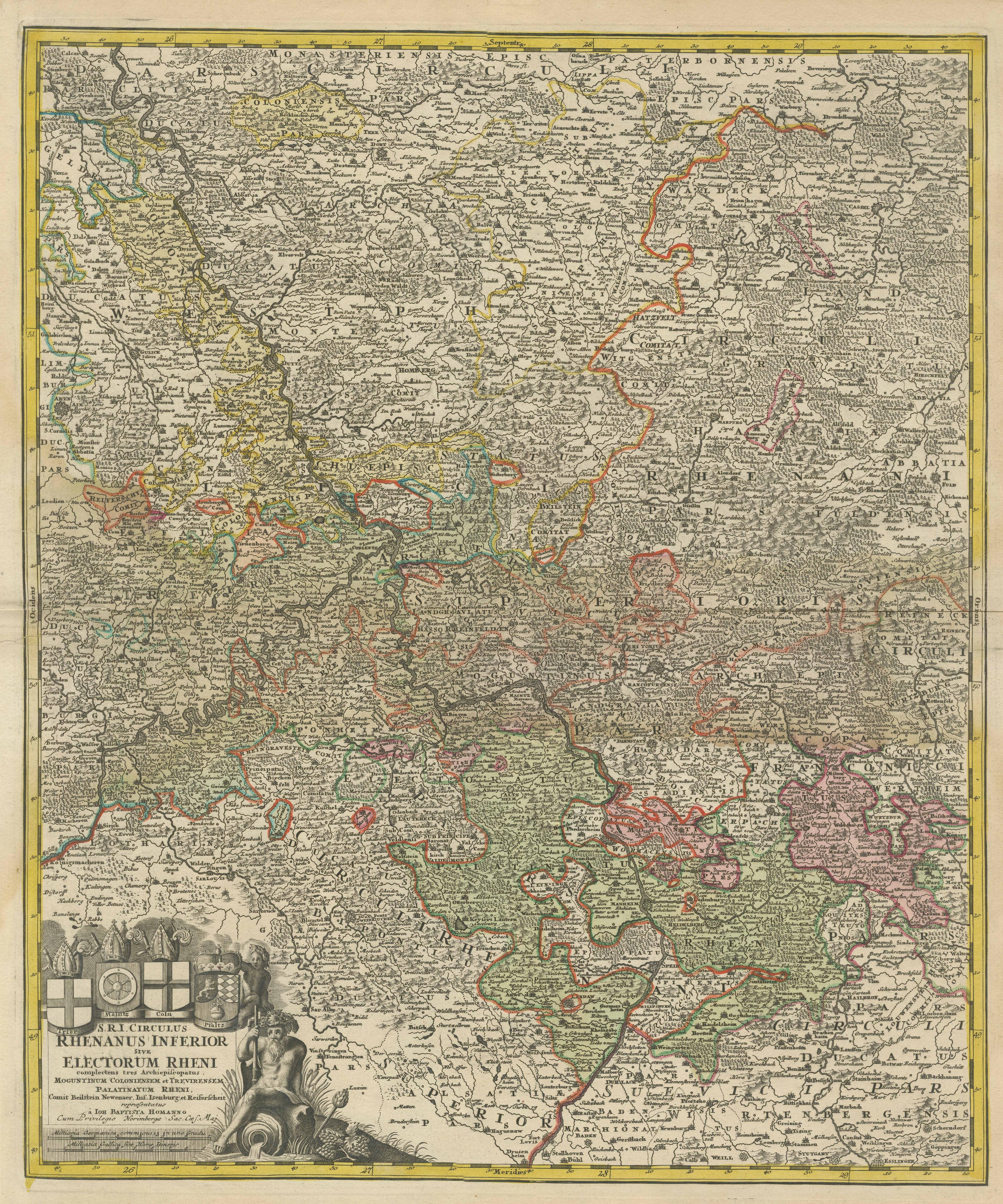
Detailed Antique Map of the Lower Rhine region, Germany
€ 450
One of a kind: this is the sheet in the photographs. Ships from Langweer, the Netherlands.
Sheet size
62 × 52.4 cm (24.4 × 20.6 in)
Condition
Fair
Reference
BG-13442-8
Condition
Repaired: The part below the folding line has been reinforced on the verso. Refinished. Age-related toning. Large stain surrounding folding line. The part below the folding line has been reinforced on the verso. Shows some wear and soiling. Blank verso. Please study image carefully.Seller Locati
About this sheet
Antique map titled 'S.R.I. Circulus Rhanus Inferior sive Electorum Rheni (..)'. Detailed map of the Lower Rhine region, Germany. The title cartouche in the upper left quadrant features four heraldic crests, each representing a major city: Trier, Maintz, Coln, Pfaltz. Follows the course of the Rhine from Wessel to Seltz. Includes the cities of Frankfurt, Wesel, Stuttgart, Heidelberg, Mühllheim, Trier, Mainz, Köln and the Pfaltz. Published by J.B. Homann, circa 1720.
Johann Baptist Homann was born 1664 in Oberkammlach. He founded his business 1702 in Nuremberg, Germany. After a long period of Dutch domination in map publishing, the Homann publishing house became the most important map and atlas producer in Germany. He became a member of the Academy of Science in Berlin just after he published his first atlas in 1707. After his death 1724 in Nuremberg, the company was continued by his son Johann Christoph. The publishing firm was bequeathed to his heirs after his death in 1730 and was traded under the name Homann Heirs until the next century.