
Maps & PrintsBartele Gallery · Langweer
Home / Antique Maps / Europe / Western Europe / Germany

Germany

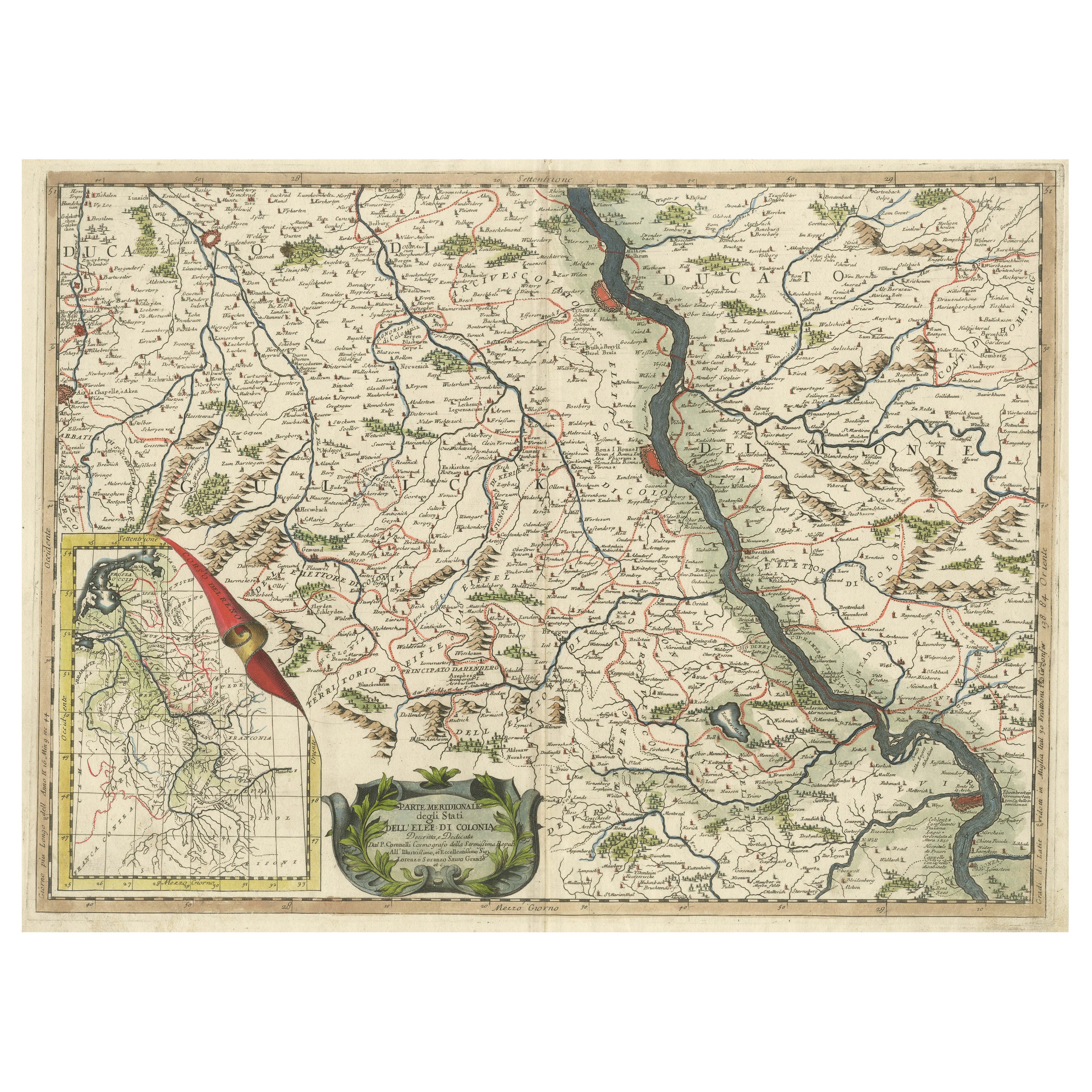

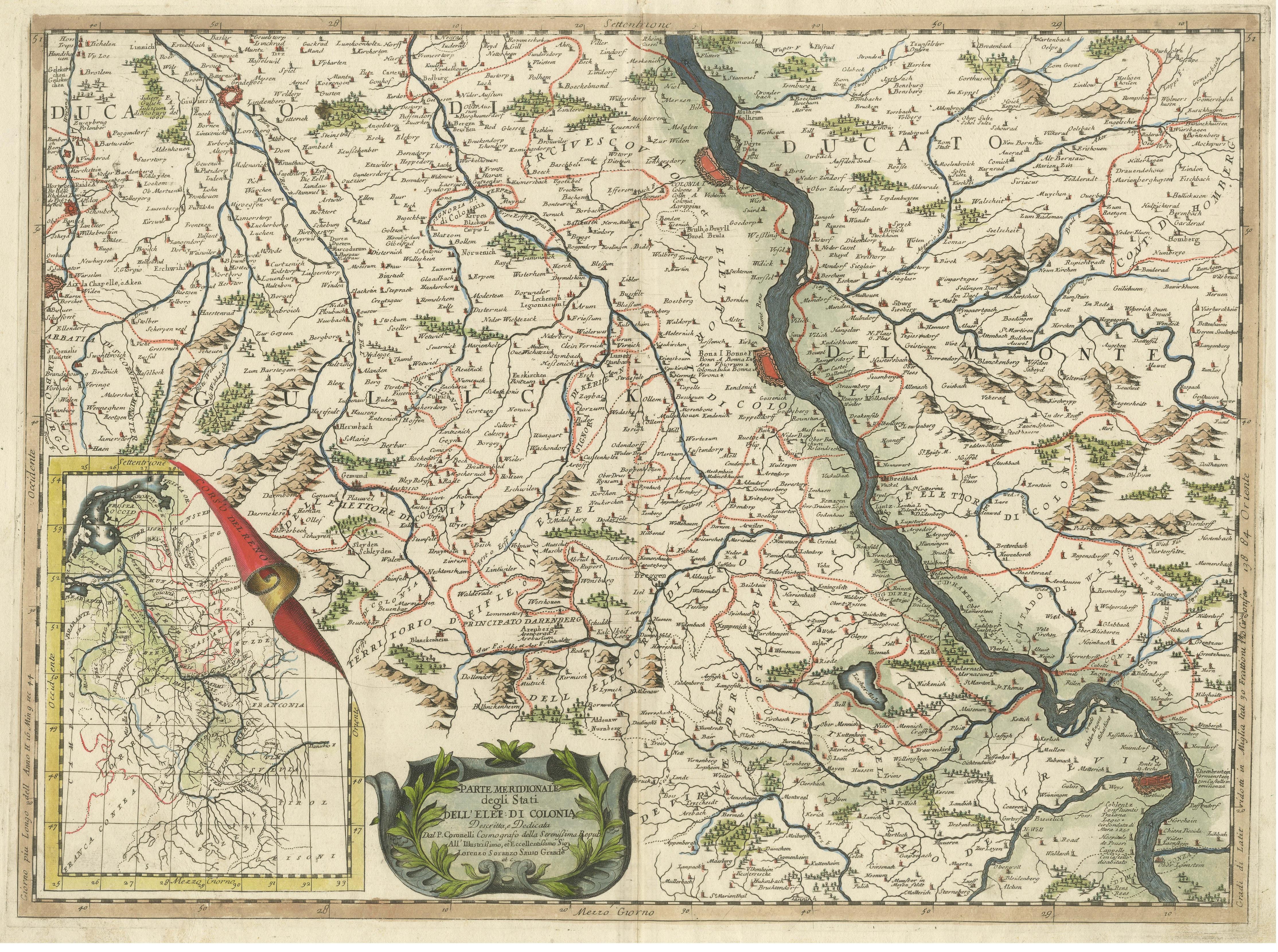
Antique Map of the course of the Rhine from Lahnstein to Rheinkassel, Germany

€ 660

One of a kind: this is the sheet in the photographs. Ships from Langweer, the Netherlands.

Sheet size
47.7 × 65.3 cm (18.8 × 25.7 in)
Condition
Good
Reference
BG-13442-5

Condition

General age-related toning. Original folding line. Minor wear and soiling, blank verso. Please study image carefully.


About this sheet

Antique map titled 'Parte meridionale degli Stati dell 'Elet di Colonia'. This map shows the course of the Rhine from Lahnstein to Rheinkassel and the area west to Aachen, Germany. With inset map of the course of the Rhine. Published by V. Coronelli, circa 1690. Vincenzo Maria Coronelli (August 16, 1650 - December 9, 1718) was an important 17th century cartographer and globe maker based in Venice.

More from Germany

Ask about this sheet

Antique Map of the course of the Rhine from Lahnstein to Rheinkassel, Germany
Ref. BG-13442-5 · € 660
We reply by email, usually within one working day.





