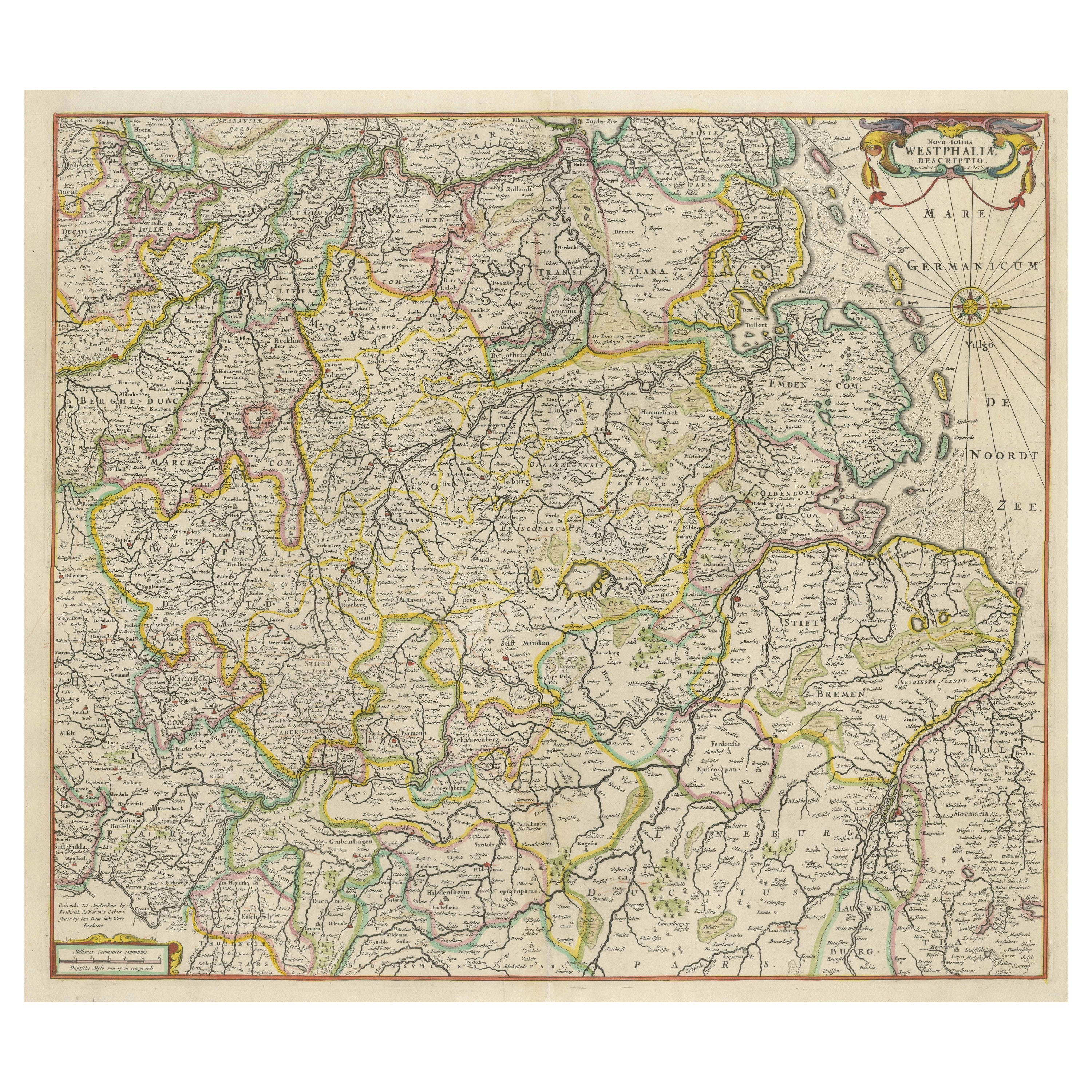

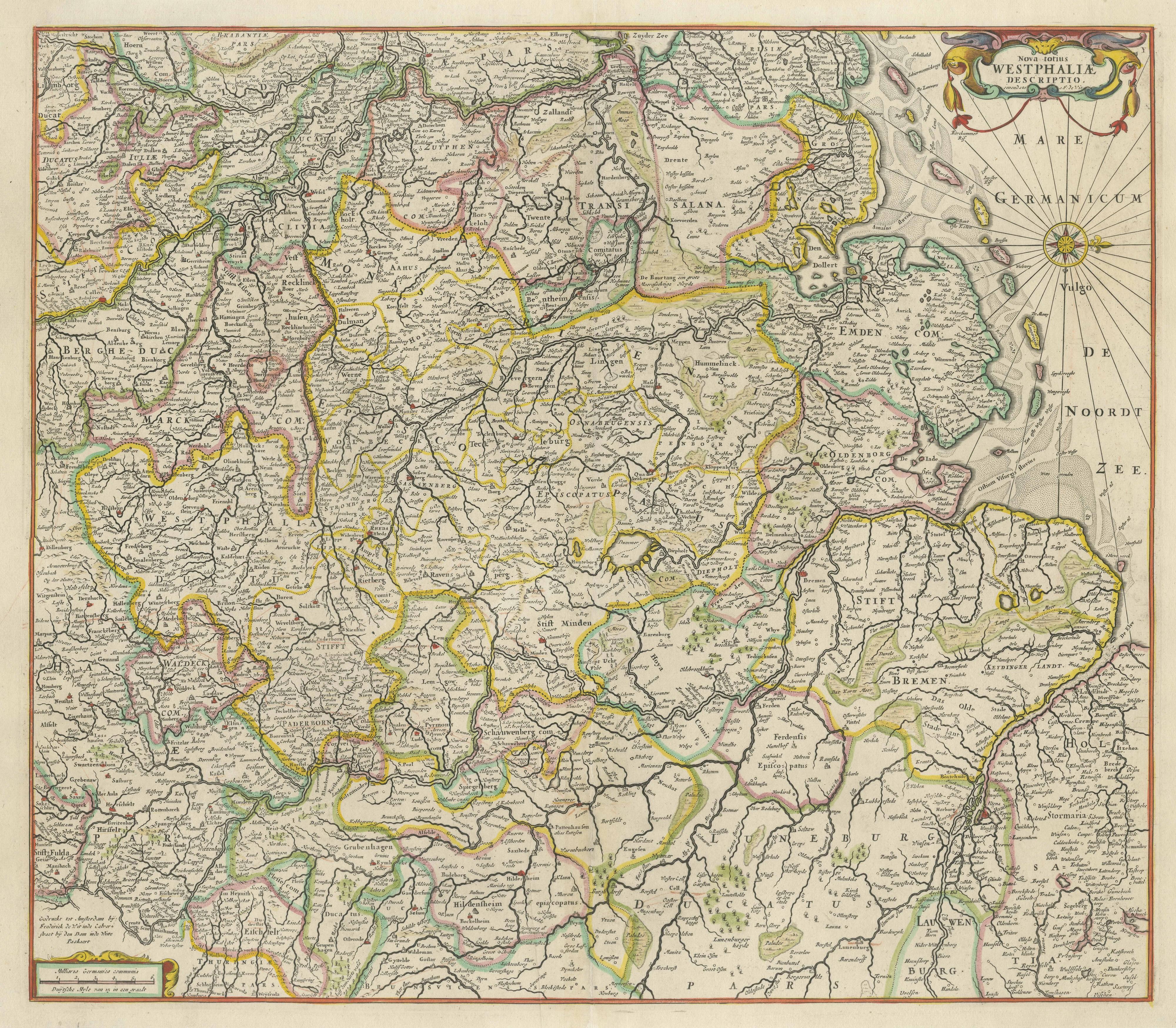
One of a kind: this is the sheet in the photographs. Ships from Langweer, the Netherlands.
Sheet size
50.5 × 61.2 cm (19.9 × 24.1 in)
Condition
Good
Reference
BG-13442-2
Condition
Repaired: Repair on folding line. General age-related toning. Repair on folding line. Minor wear, blank verso. Please study image carefully.
About this sheet
Antique map titled 'Nova totius Westphaliae Descriptio'. Detailed map of Westphalia, Northern Germany. Oriented to the west. The area shown extends from Hamburg in the north to Marburg in the south and from Arnhem in the west to Halberstadt in the east. Published by F. de Wit, circa 1680.
Frederick de Wit (1629-1706) was an engraver, cartographer and map dealer who ran a prominent and productive printing business in Amsterdam, founded in 1654. He published his first atlas in 1662. In 1695 he purchased a large collection of the plates of the prestigious Blaeu publishing business. After his death in 1706, his wife Maria continued in the business for four years before selling it at the auction. A majority of the plates were purchased by Pieter Mortier. His thriving and growing business eventually became Covens & Mortier, one of the largest and most successful cartography and printing businesses of the eighteenth century.